Letitia Carson · Register
Maps
Township plats and topographic sheets for each place the family lived, several of them marked up by the creator to show the Carson claim.
34 sheets in 5 folders. Almost all are federal: General Land Office township plats made when the country was first surveyed, and United States Geological Survey quadrangles. Government maps are not under copyright. Two are the creator’s own, drawn in June 2024. The Library shows his thumbnails where he made them and links his full-size files.
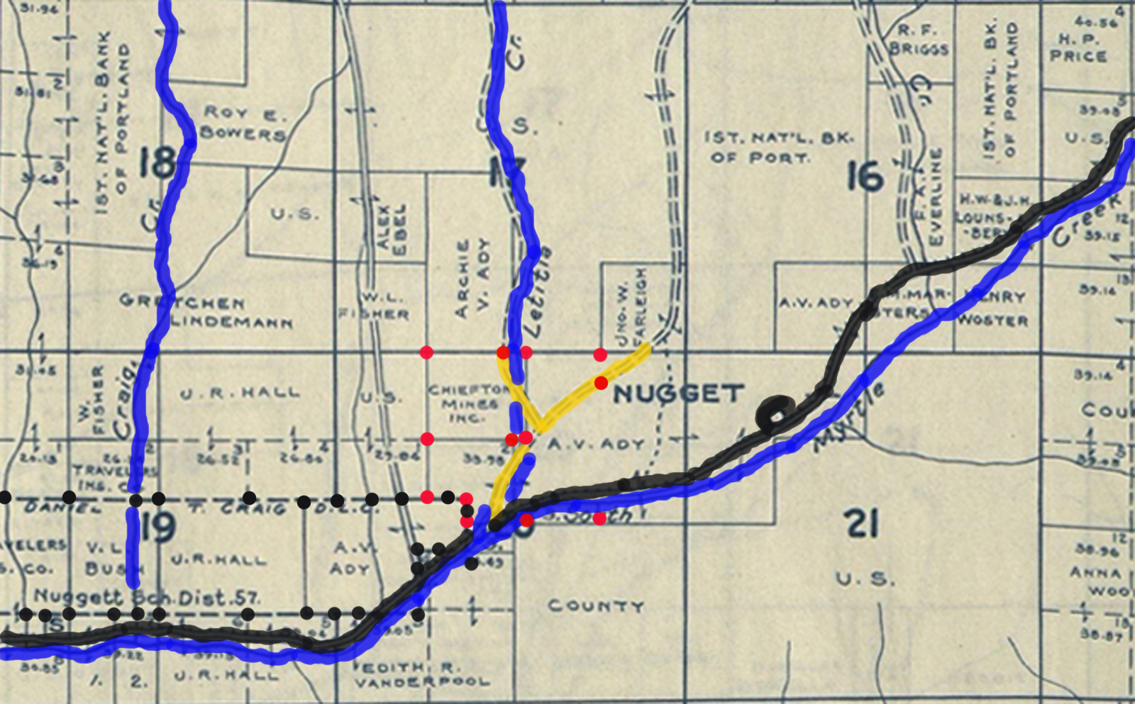
Sheets whose filename ends “-LC” are his copies with the Carson claim picked out. The Library reads what his filenames say about township, range and year, and describes the sheets from that; where a filename says nothing, the Library says nothing.
Soap Creek Valley 8
General Land Office township plats of 1852, 1853 and 1860 for the townships the Carson claim lay in, and a 1984 USGS quadrangle. The plats marked “LC” are the creator’s copies with the Carson claim picked out.
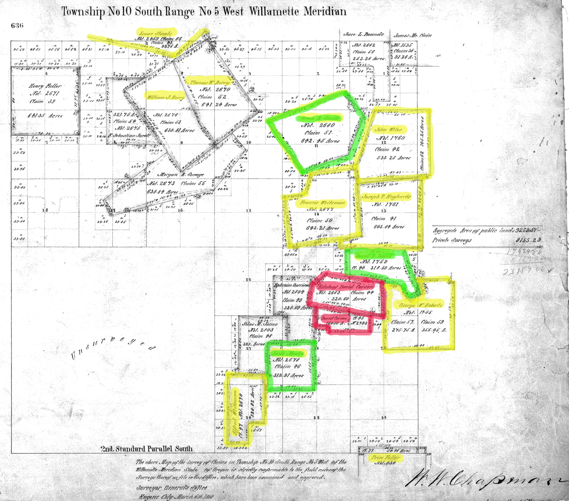
10S_05W-1860-LC.jpg
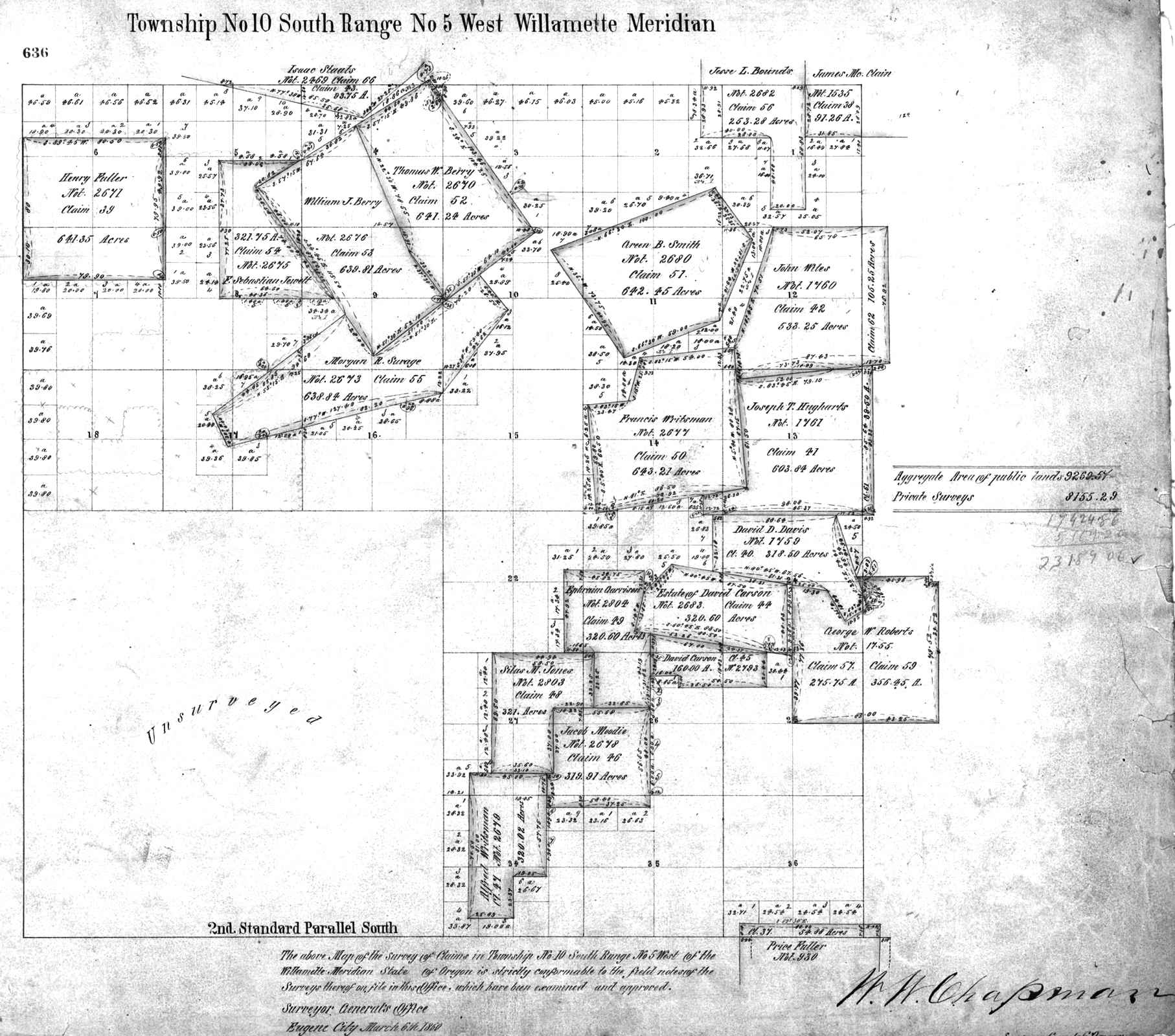
General Land Office plat of Township 10 South, Range 5 West, Willamette Meridian, 1860.
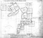
10S_05W-1860.jpg
General Land Office plat of Township 10 South, Range 5 West, Willamette Meridian, 1860.
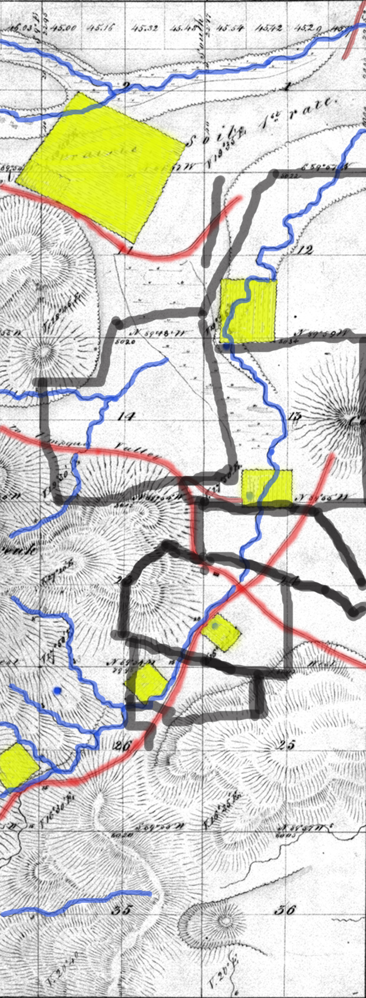
10S_05W_1853-LC.jpg
General Land Office plat of Township 10 South, Range 5 West, Willamette Meridian, 1853.
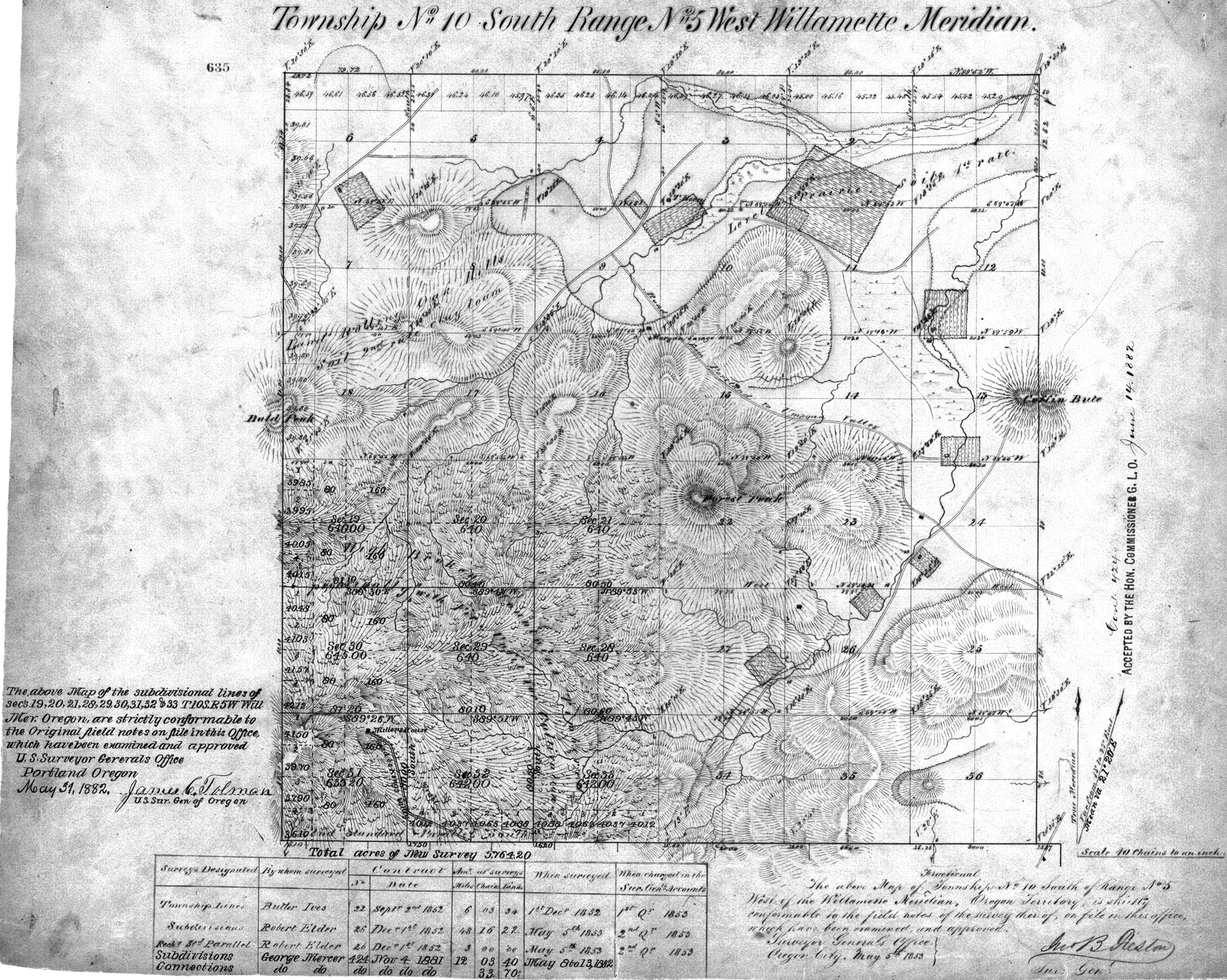
10S_05W_1853.jpg
General Land Office plat of Township 10 South, Range 5 West, Willamette Meridian, 1853.
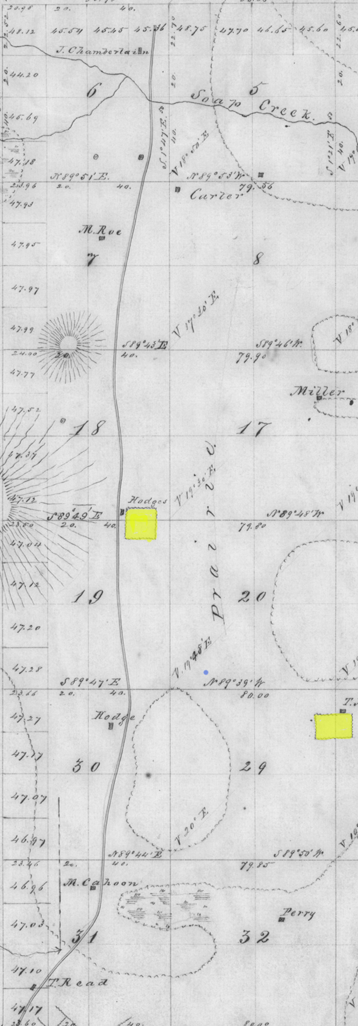
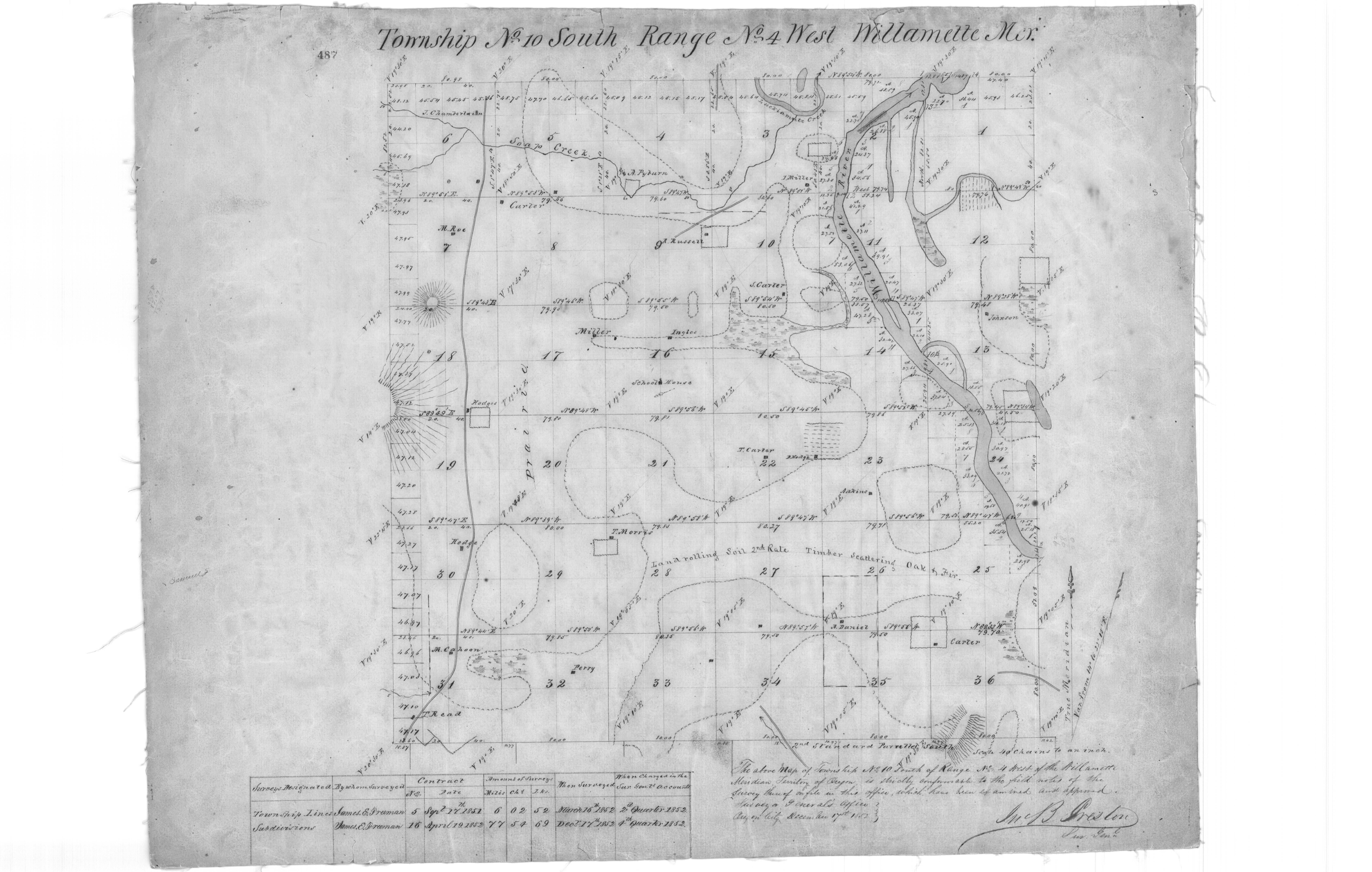
10s_04w_1852-LC.jpg
General Land Office plat of Township 10 South, Range 4 West, Willamette Meridian, 1852.
10s_04w_1852.jpg
General Land Office plat of Township 10 South, Range 4 West, Willamette Meridian, 1852.
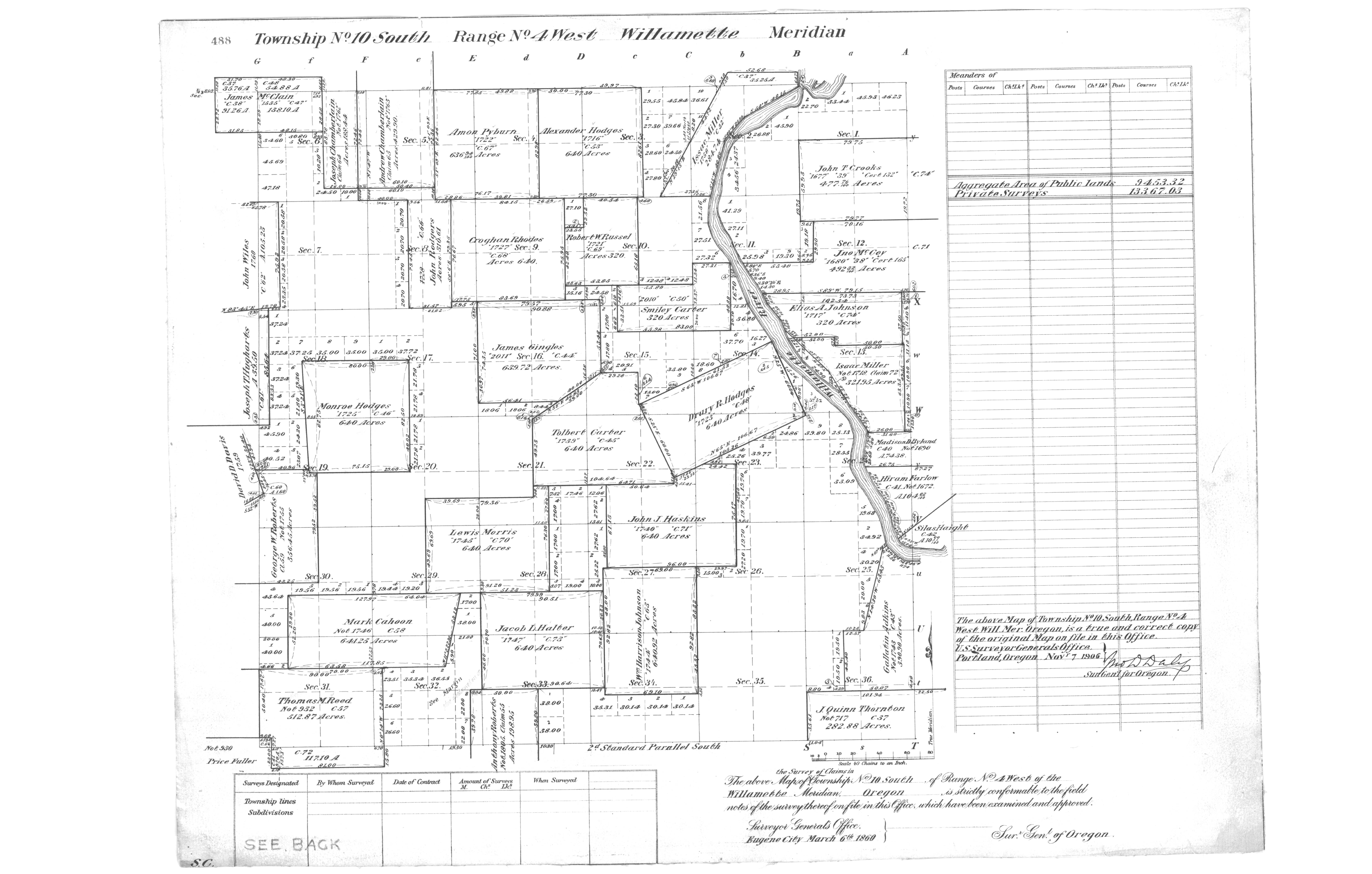
10s_04w_1860.jpg
General Land Office plat of Township 10 South, Range 4 West, Willamette Meridian, 1860.
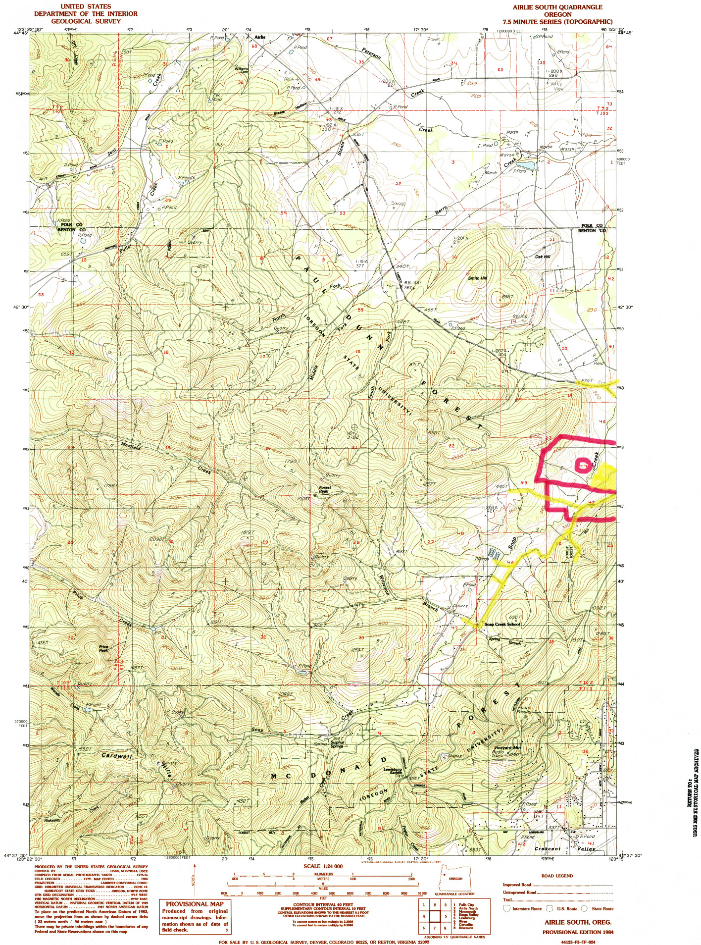
USGS_Airlie_South_1984_7.5'-LC.jpg
United States Geological Survey Airlie South quadrangle, 1984, 7.5' series.
Upper Cow Creek 3
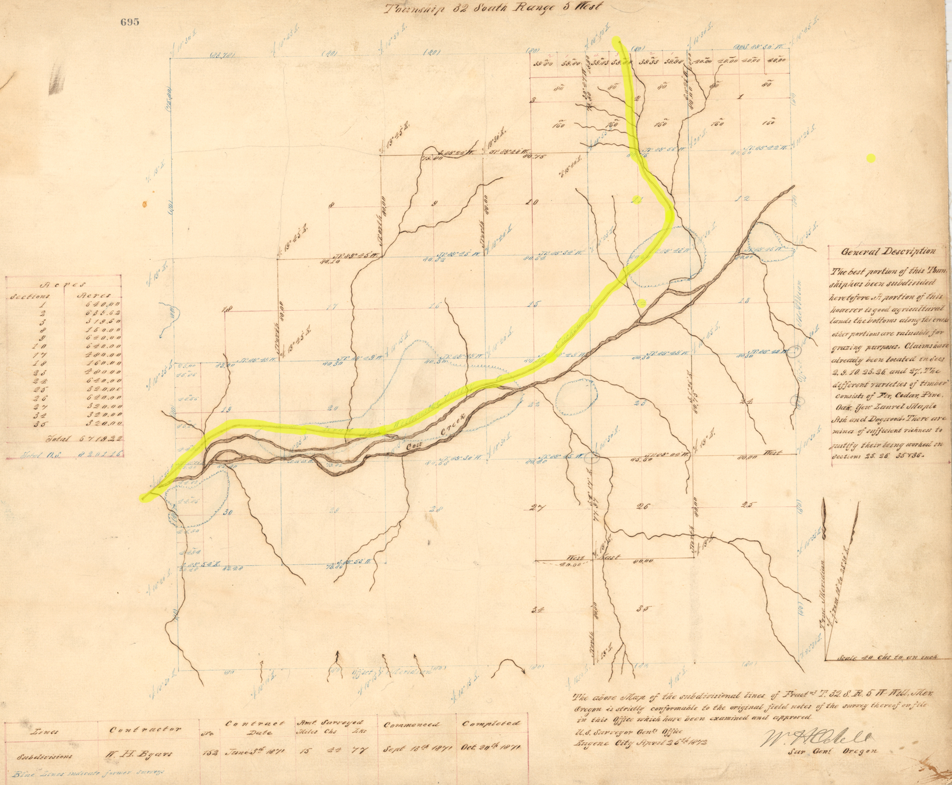
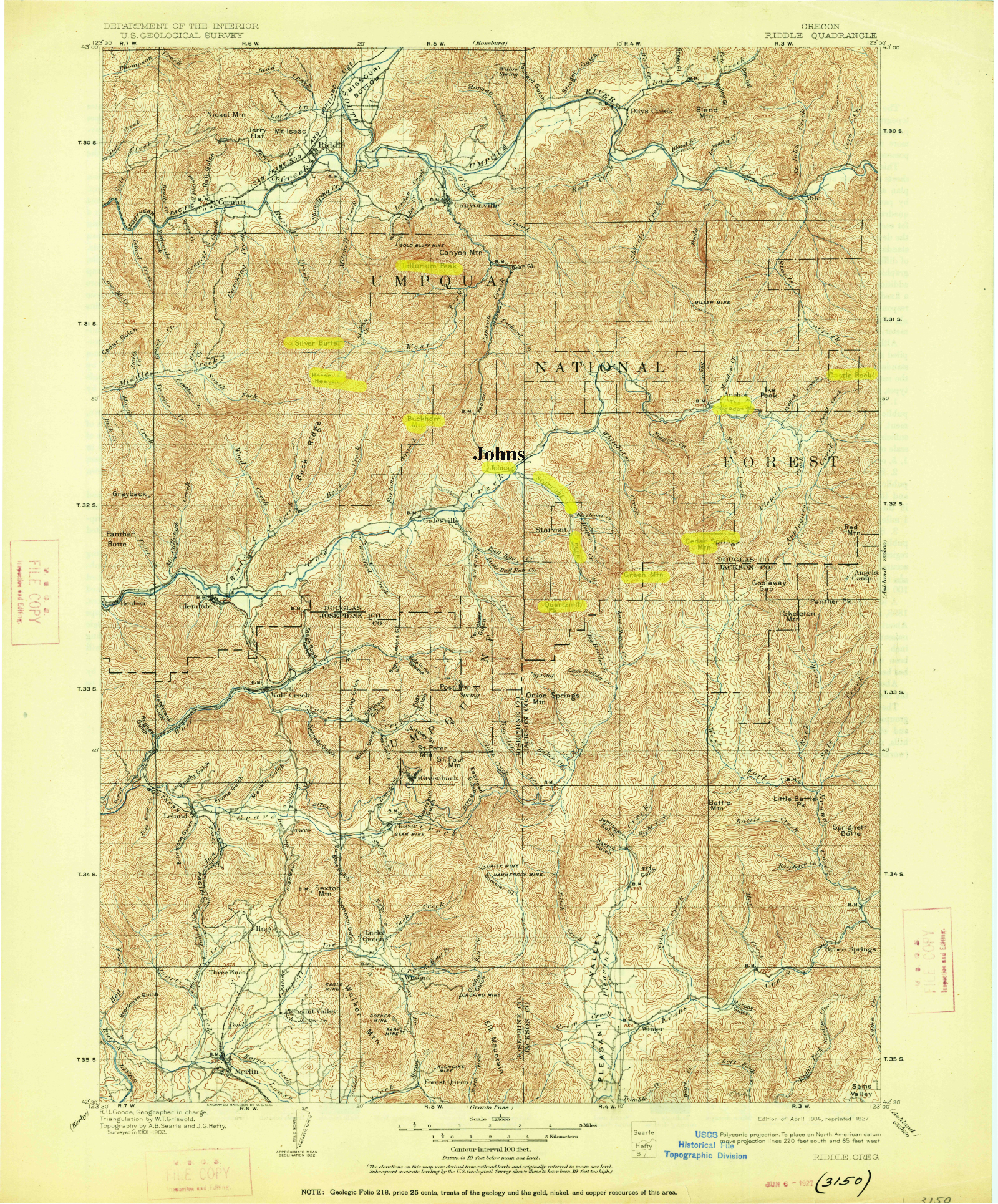
Township plats of 1856 and 1872 and the 1904 USGS Riddle sheet, covering the ground Letitia Carson lived on after leaving Soap Creek.
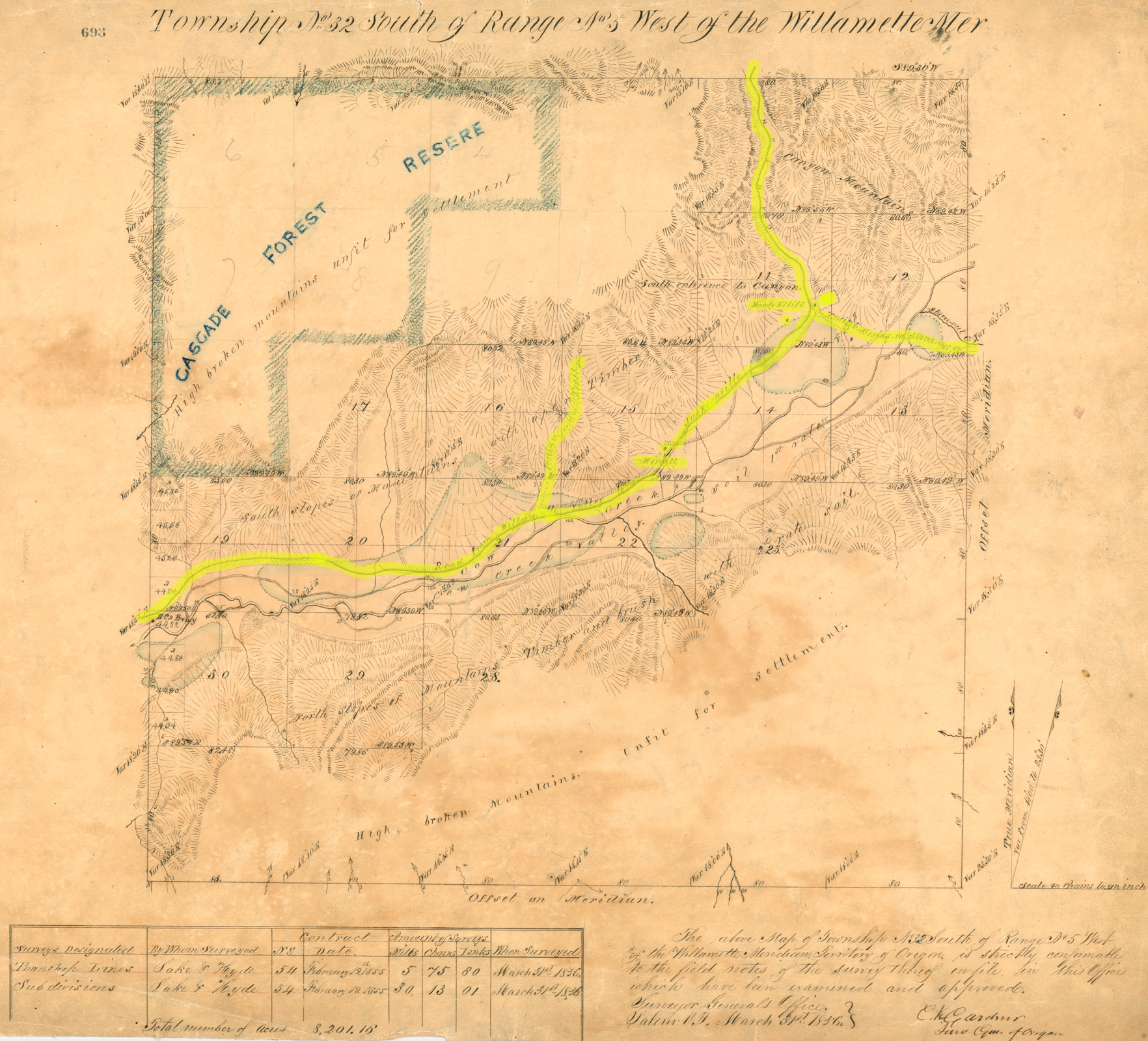
32s_05w_1856-LC.jpg
General Land Office plat of Township 32 South, Range 5 West, Willamette Meridian, 1856.
32s_05w_1872-LC.jpg
General Land Office plat of Township 32 South, Range 5 West, Willamette Meridian, 1872.
USGS_Riddle_1904_30'-LC.jpg
United States Geological Survey Riddle quadrangle, 1904, 30' series.
South Myrtle Creek 20
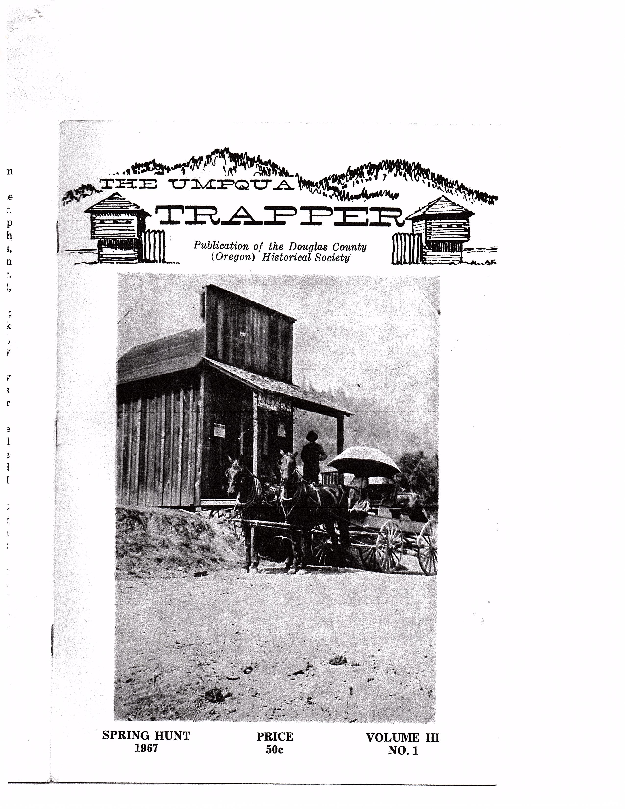
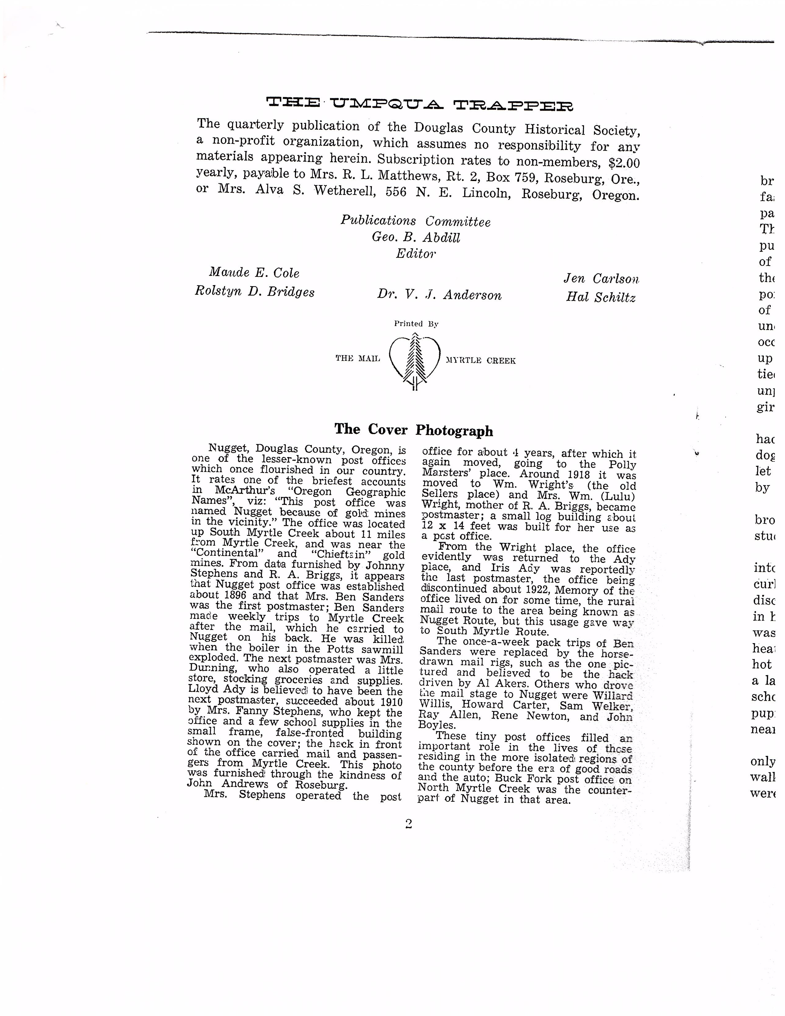
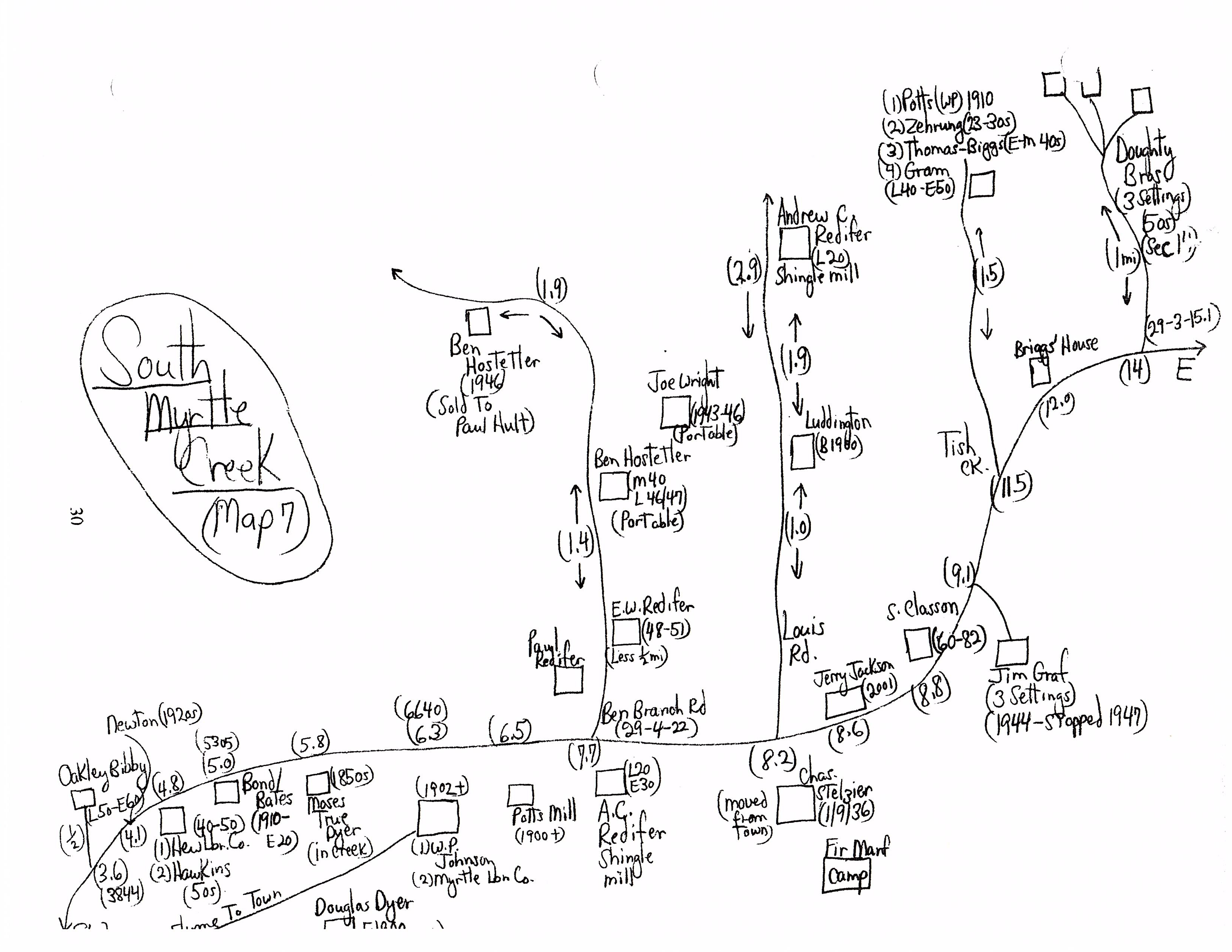
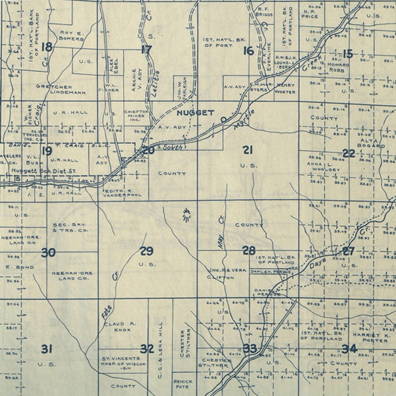
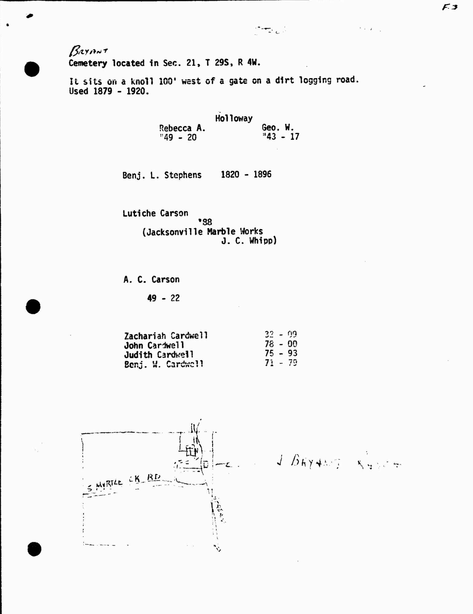
The homestead ground: township plats of 1855, 1858 and 1881, a plat of about 1900, mid-century sheets, the 1954 USGS Dixonville quadrangle, a 1970 photograph of the Stephens graveyard, the 1967 Nugget school file, and two maps the creator drew himself in June 2024.
1967_Nugget/img001.jpg
1967_Nugget/img002.jpg
1967_Nugget/img003.jpg
29S_03W-19xx-b.jpg
General Land Office plat of Township 29 South, Range 3 West, Willamette Meridian.
29S_03W-19xx-c.jpg
General Land Office plat of Township 29 South, Range 3 West, Willamette Meridian.
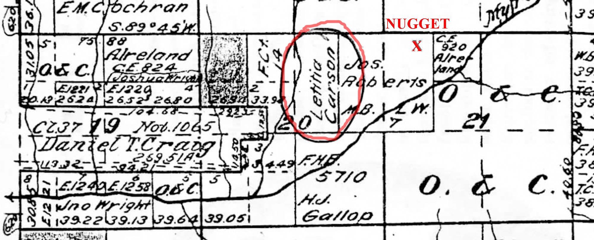
29S_03W_ca.1900-LC.jpg
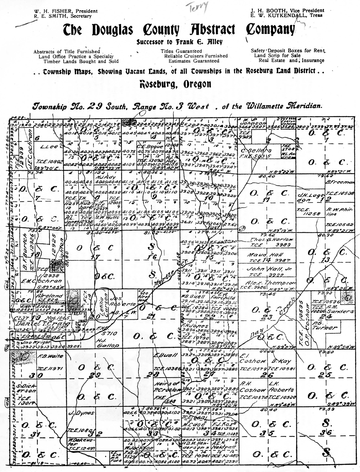
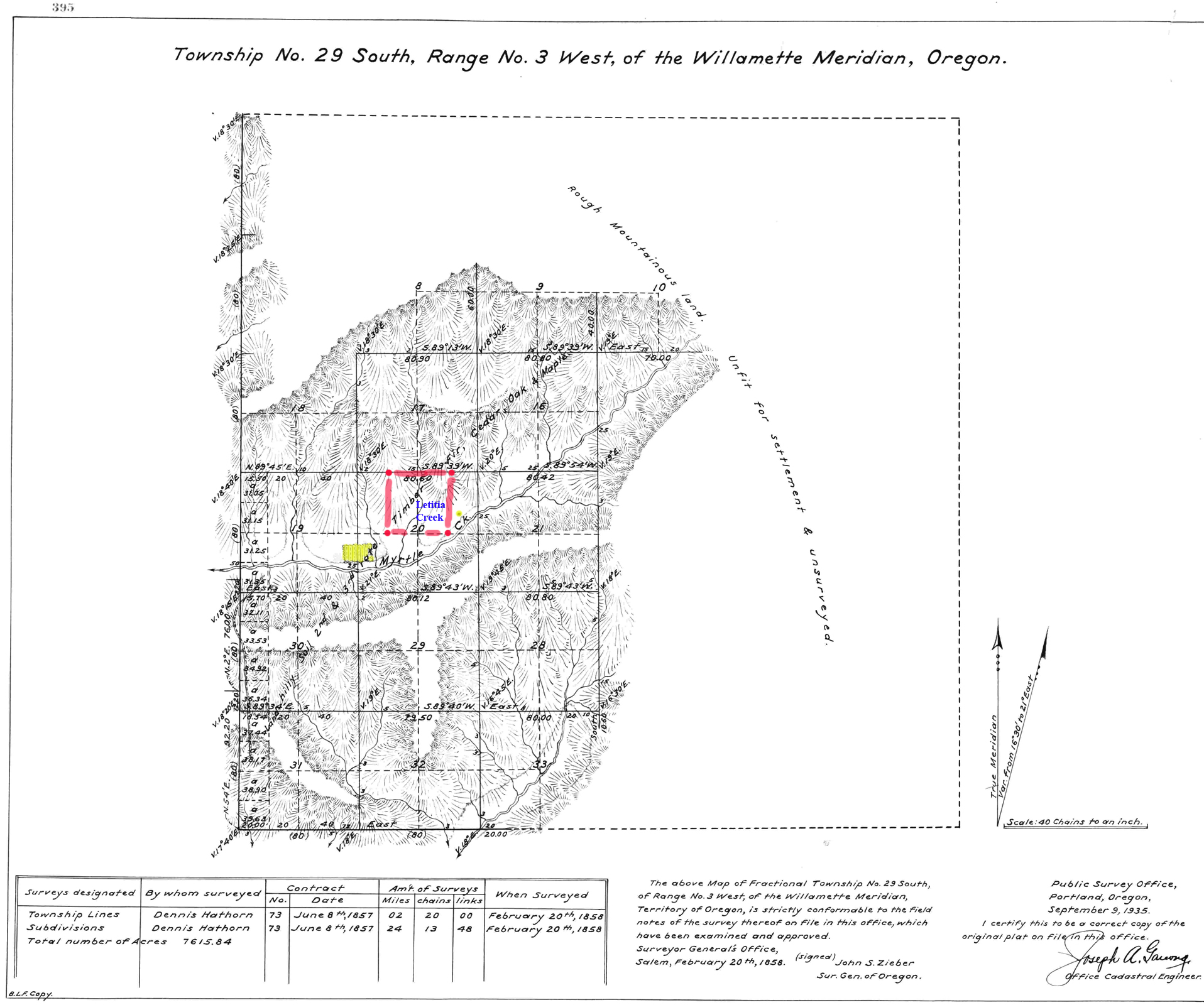
General Land Office plat of Township 29 South, Range 3 West, Willamette Meridian, about 1900.
29S_03W_ca.1900.pdf
General Land Office plat of Township 29 South, Range 3 West, Willamette Meridian, about 1900.
29S_03W_ca.1900a.jpg
General Land Office plat of Township 29 South, Range 3 West, Willamette Meridian, about 1900.
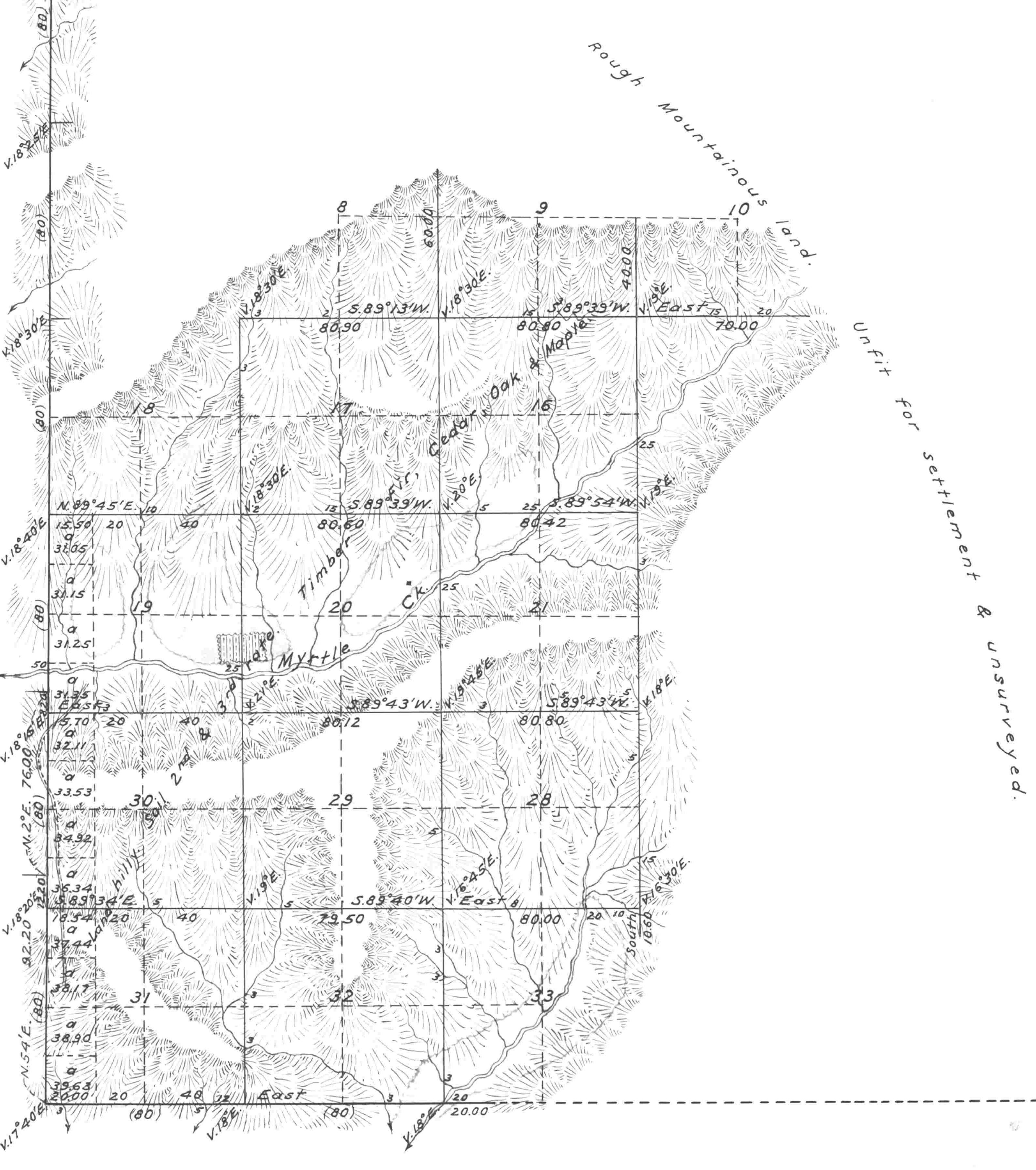
29s_03w-1858-a.jpg
General Land Office plat of Township 29 South, Range 3 West, Willamette Meridian, 1858.
29s_03w-1858.JPG
General Land Office plat of Township 29 South, Range 3 West, Willamette Meridian, 1858.
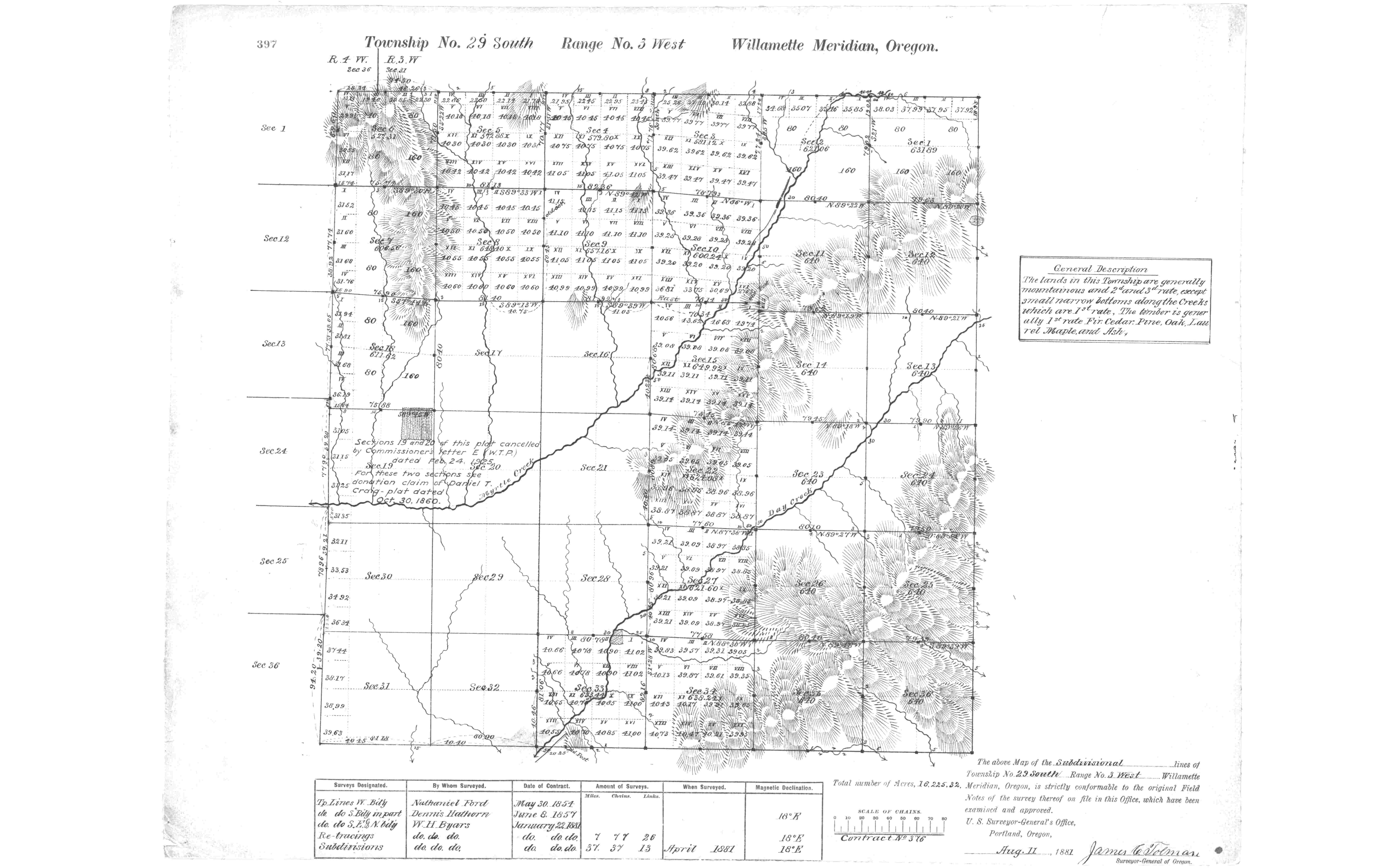
29s_03w-1881.JPG
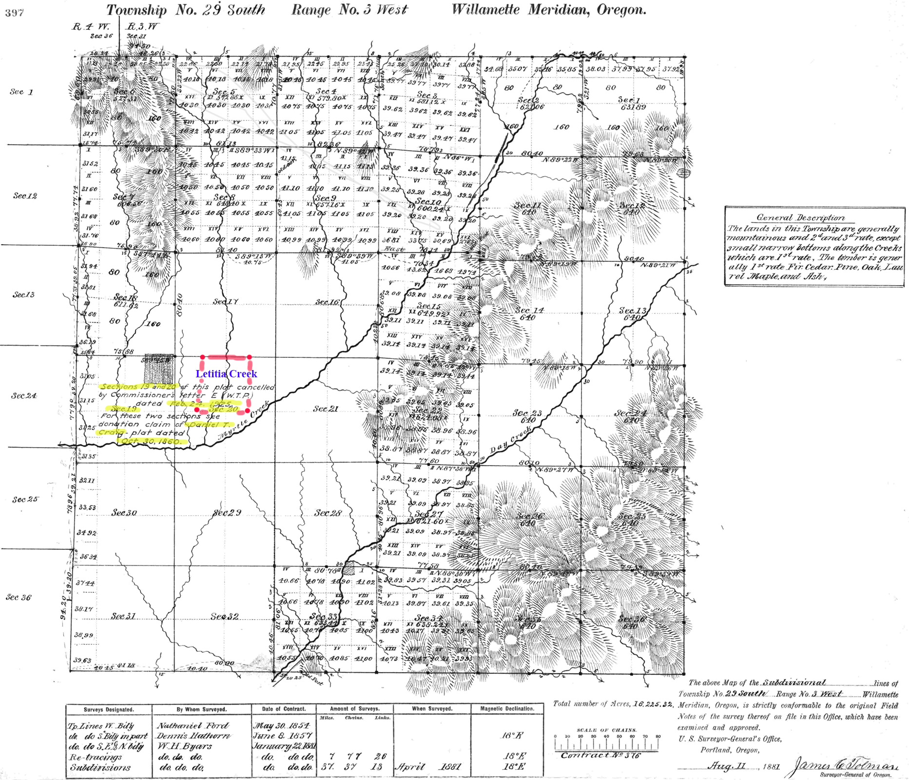
General Land Office plat of Township 29 South, Range 3 West, Willamette Meridian, 1881.
29s_03w_1858-LC.jpg
General Land Office plat of Township 29 South, Range 3 West, Willamette Meridian, 1858.
29s_03w_1881-LC.jpg
General Land Office plat of Township 29 South, Range 3 West, Willamette Meridian, 1881.
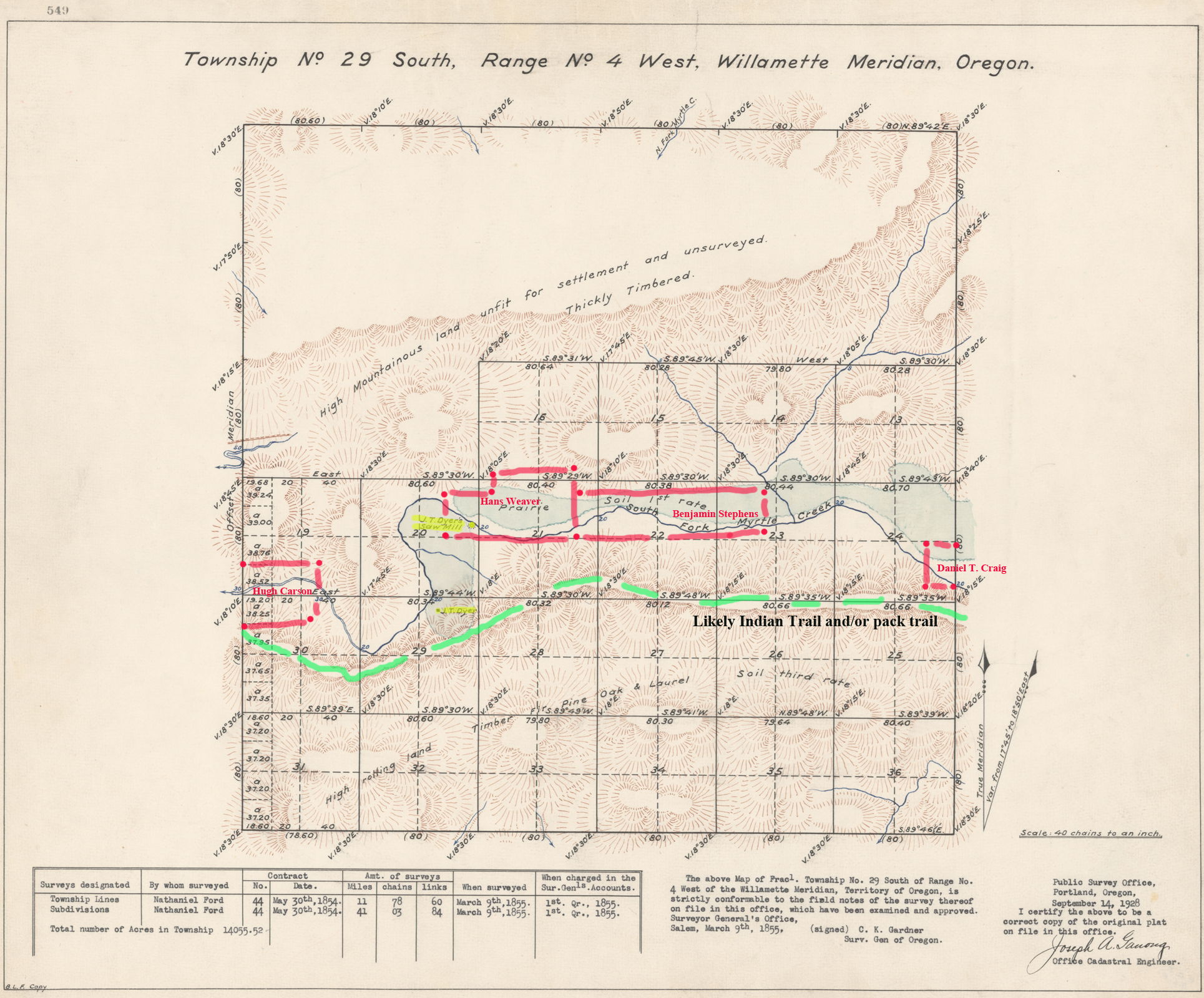
29s_04w_1855-LC.jpg
General Land Office plat of Township 29 South, Range 4 West, Willamette Meridian, 1855.
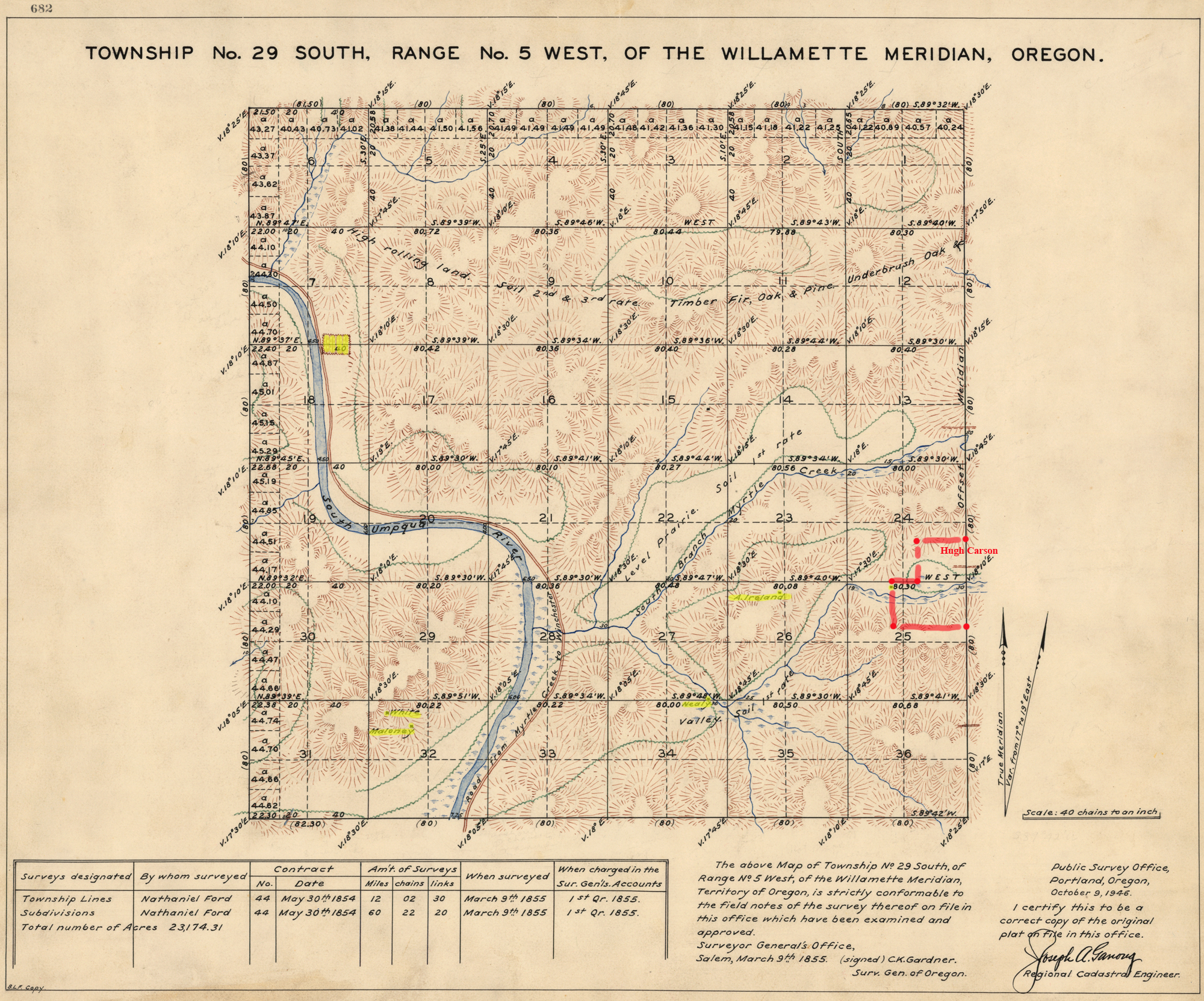
29s_05w_1855-LC.jpg
General Land Office plat of Township 29 South, Range 5 West, Willamette Meridian, 1855.
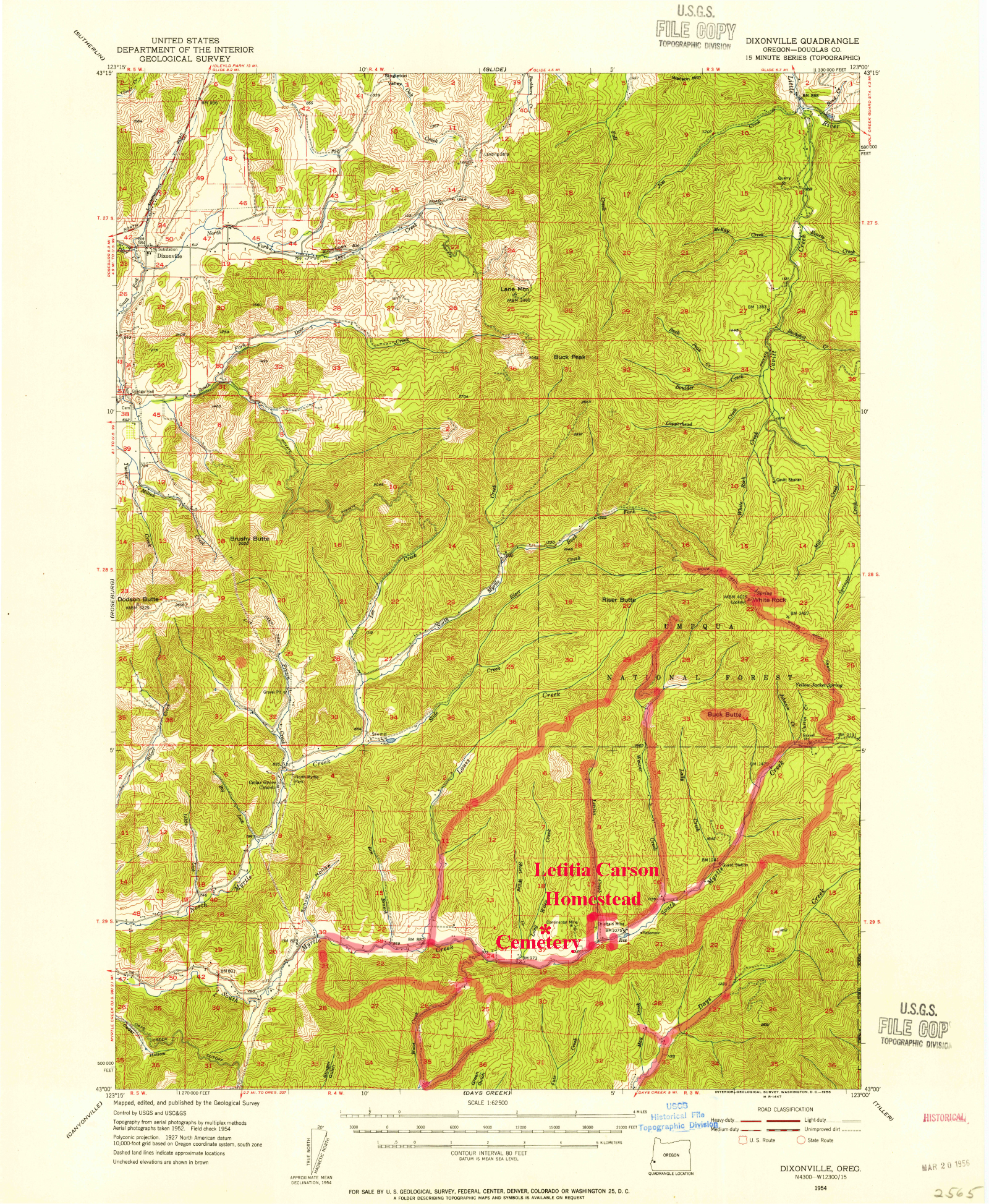
USGS_Dixonville_1954_15'-LC.jpg
United States Geological Survey Dixonville quadrangle, 1954, 15' series.
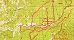
USGS_Dixonville_1954_15'-LCa.jpg
United States Geological Survey Dixonville quadrangle, 1954, 15' series.

South Umpqua 1
The 1954 USGS Days Creek quadrangle.
USGS_Days_Creek_1954_15'-LCa.jpg
United States Geological Survey Days Creek quadrangle, 1954, 15' series.
Umatilla 2
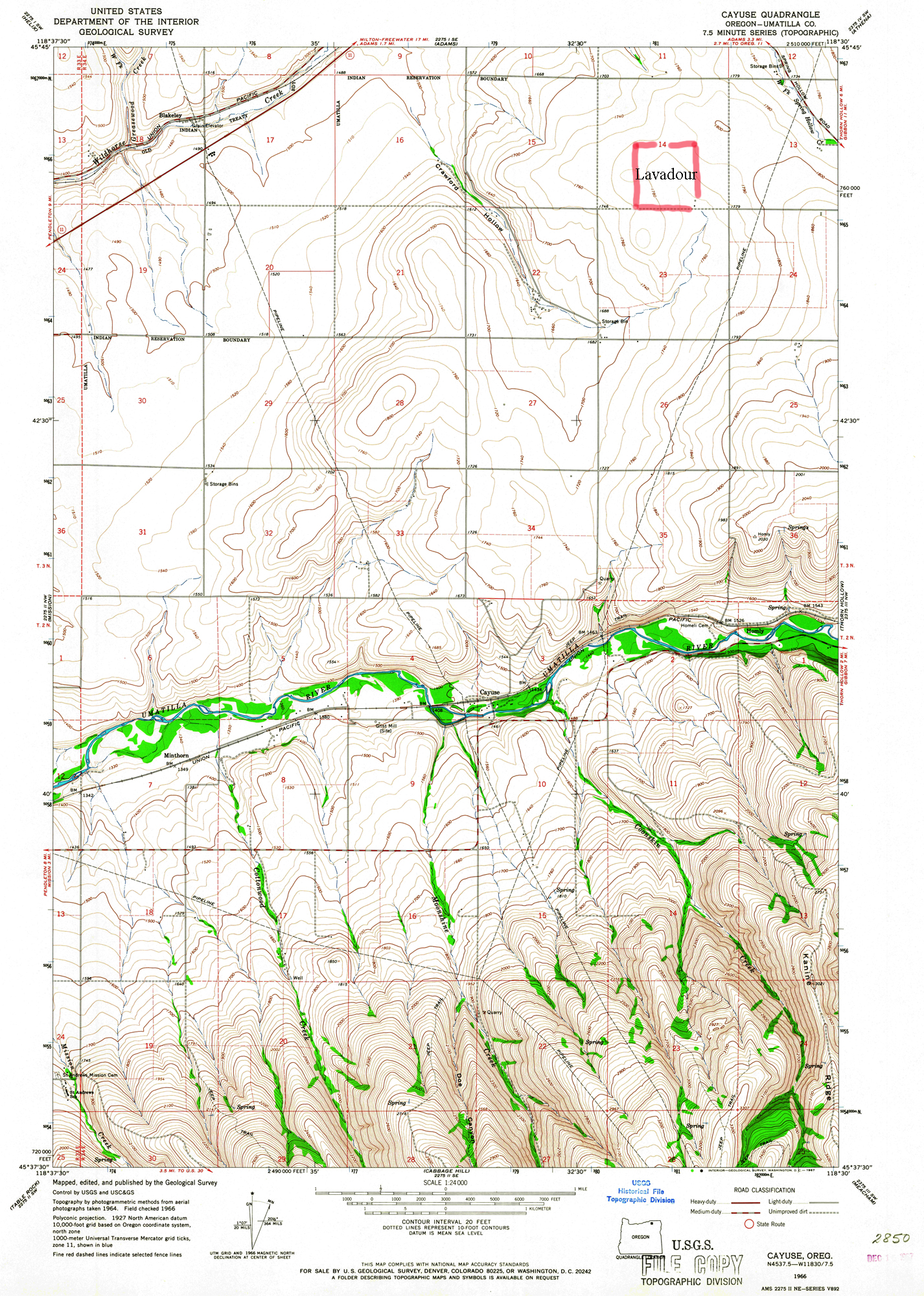
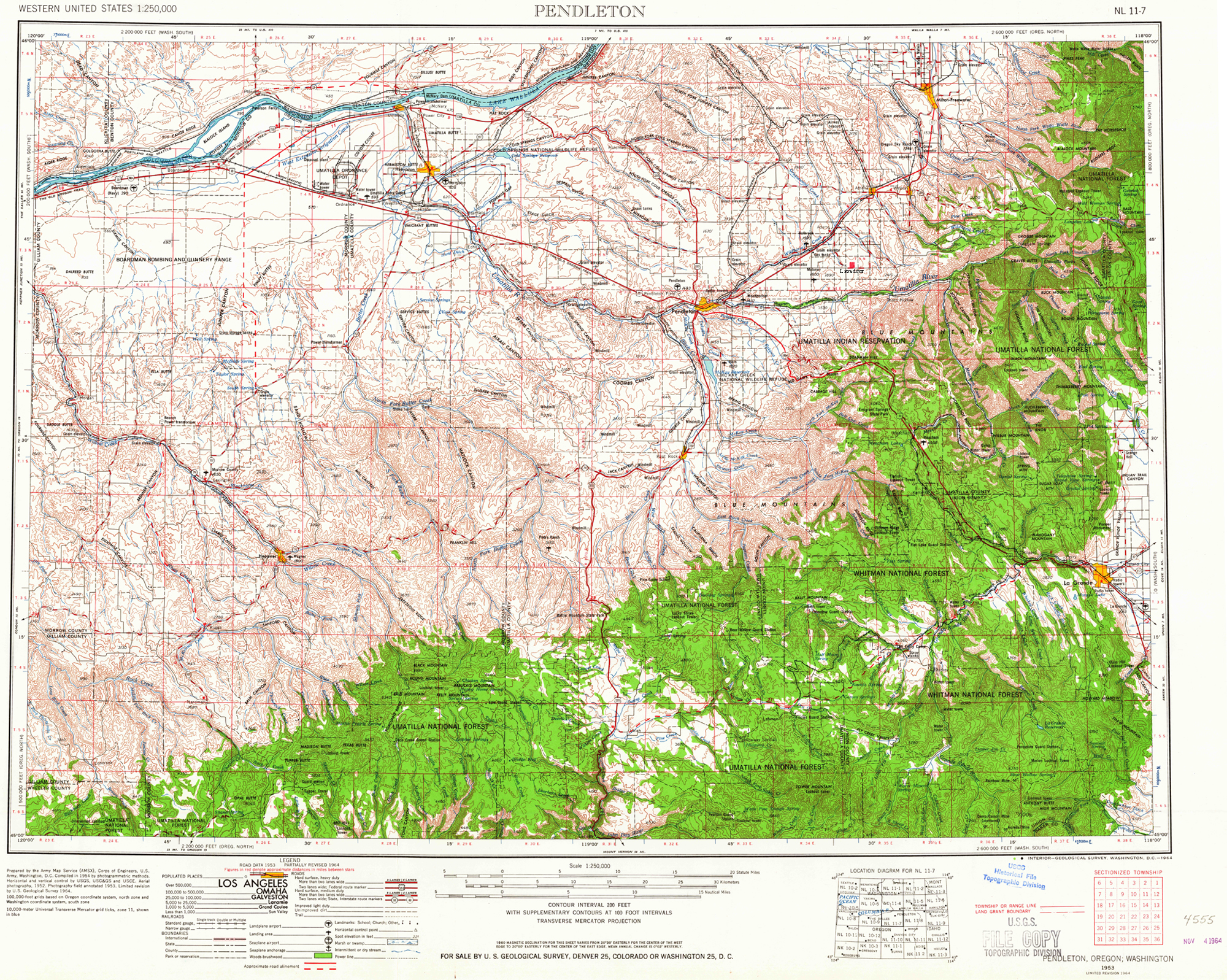
The 1953 Pendleton and 1966 Cayuse USGS sheets, covering the reservation the Lavadour families moved to in 1887.
USGS_Cayuse_1966_7.5'-LC.jpg
United States Geological Survey Cayuse quadrangle, 1966, 7.5' series.
USGS_Pendleton_1953_30'-LC.jpg
United States Geological Survey Pendleton quadrangle, 1953, 30' series.
Folders he has opened but not filled
Ireland, Missouri, North Carolina, US. Recorded because his arrangement says where the Irish, Missouri, North Carolina and national maps are meant to go, and that they are not there yet.
Provenance
- Records
- General Land Office plats and USGS quadrangles — federal maps, not under copyright
- Marked copies and two 2024 sheets
- The creator’s own work
- Published at
- orww.org/History/Letitia_Carson/Maps/
- Counted
- Against the creator’s own directory listings, 4 September 2026