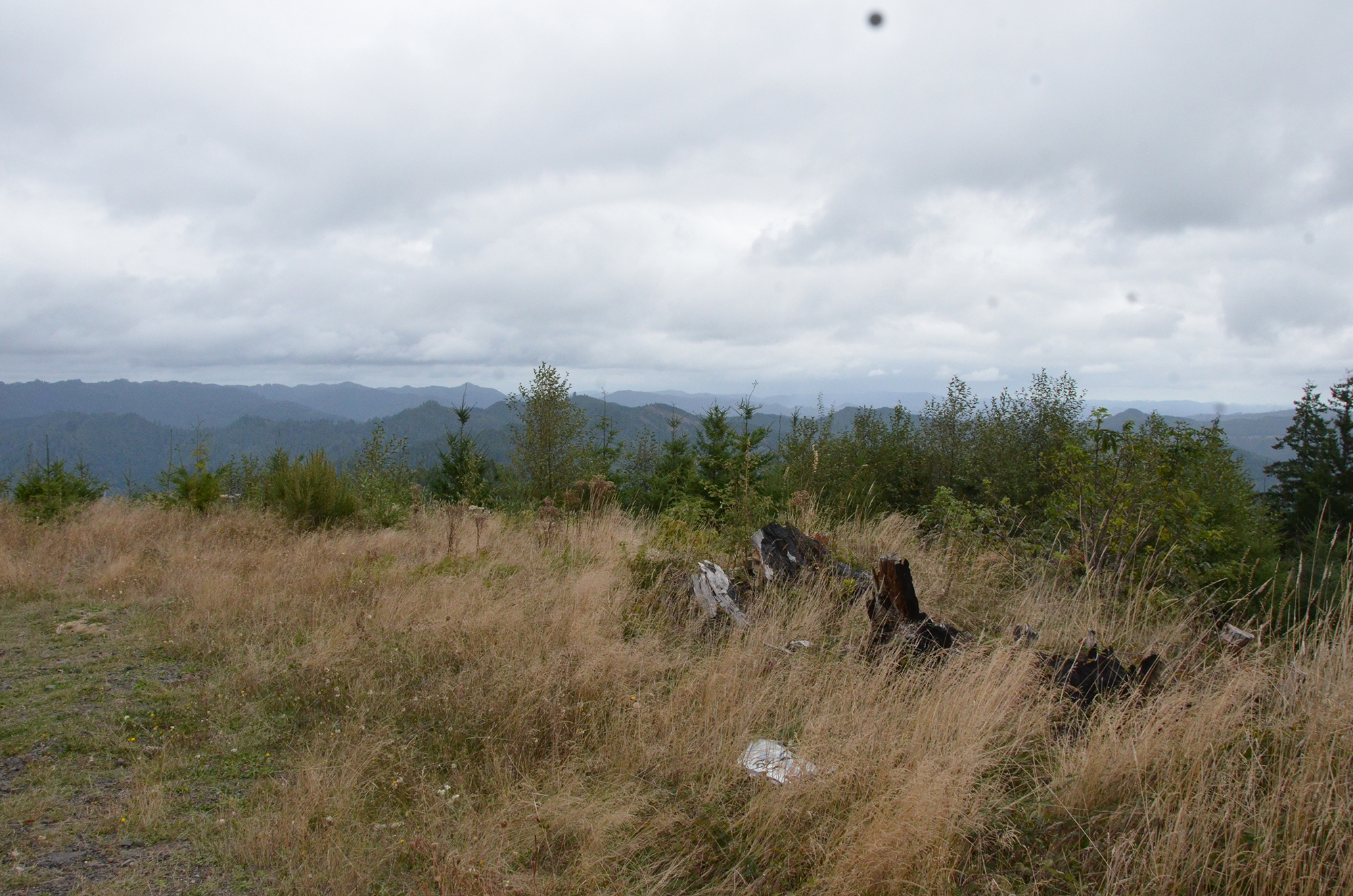
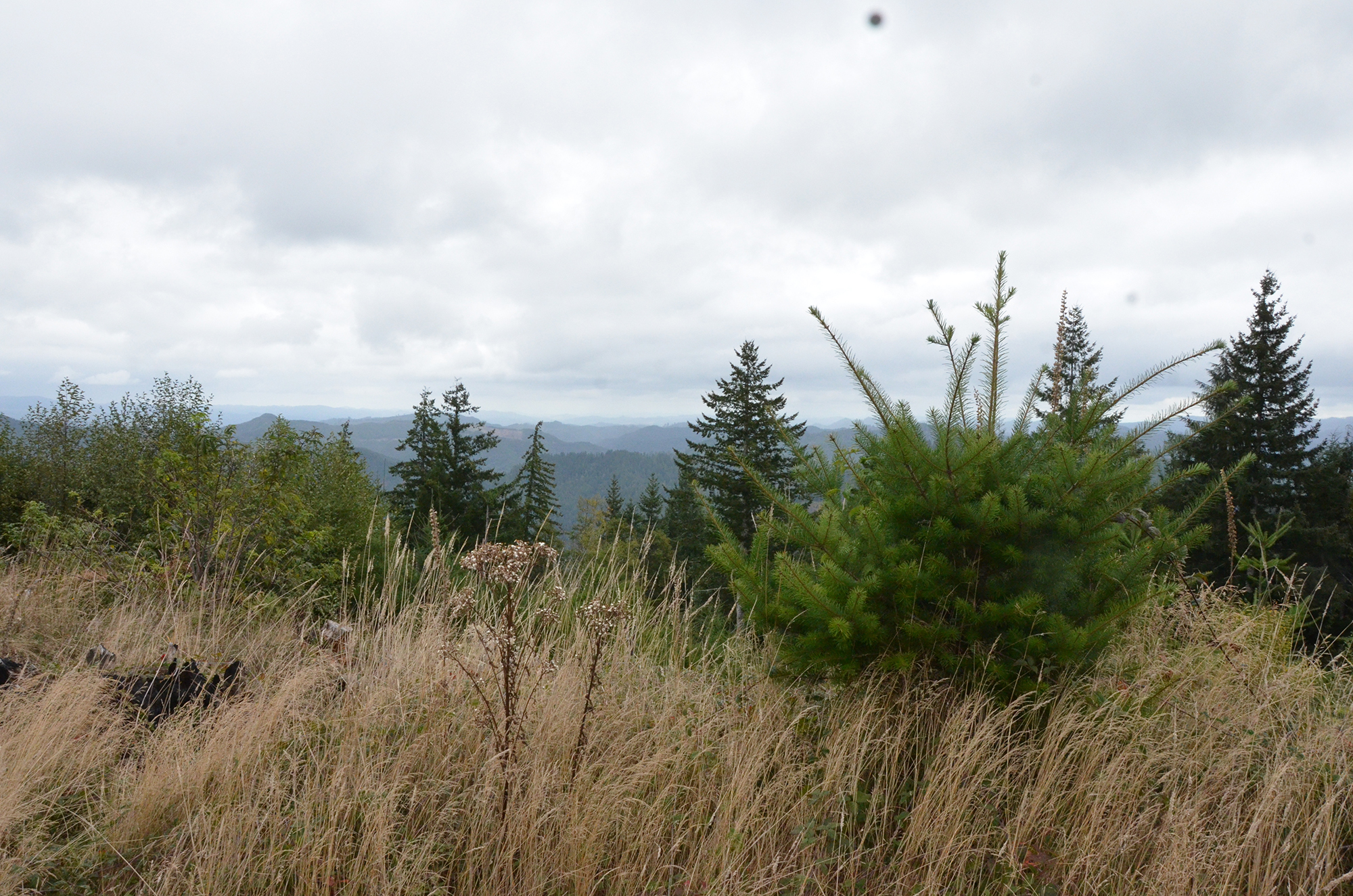
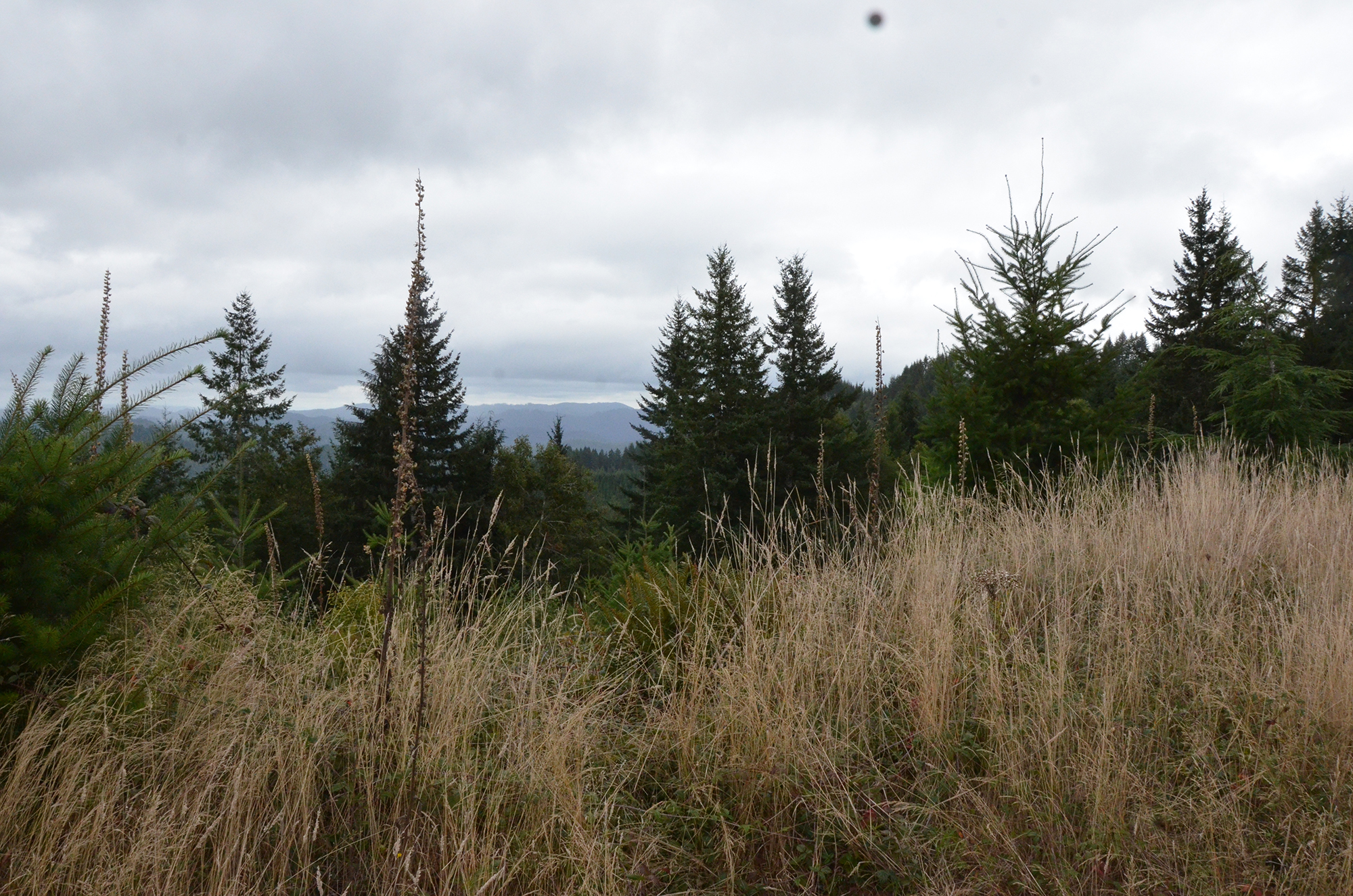
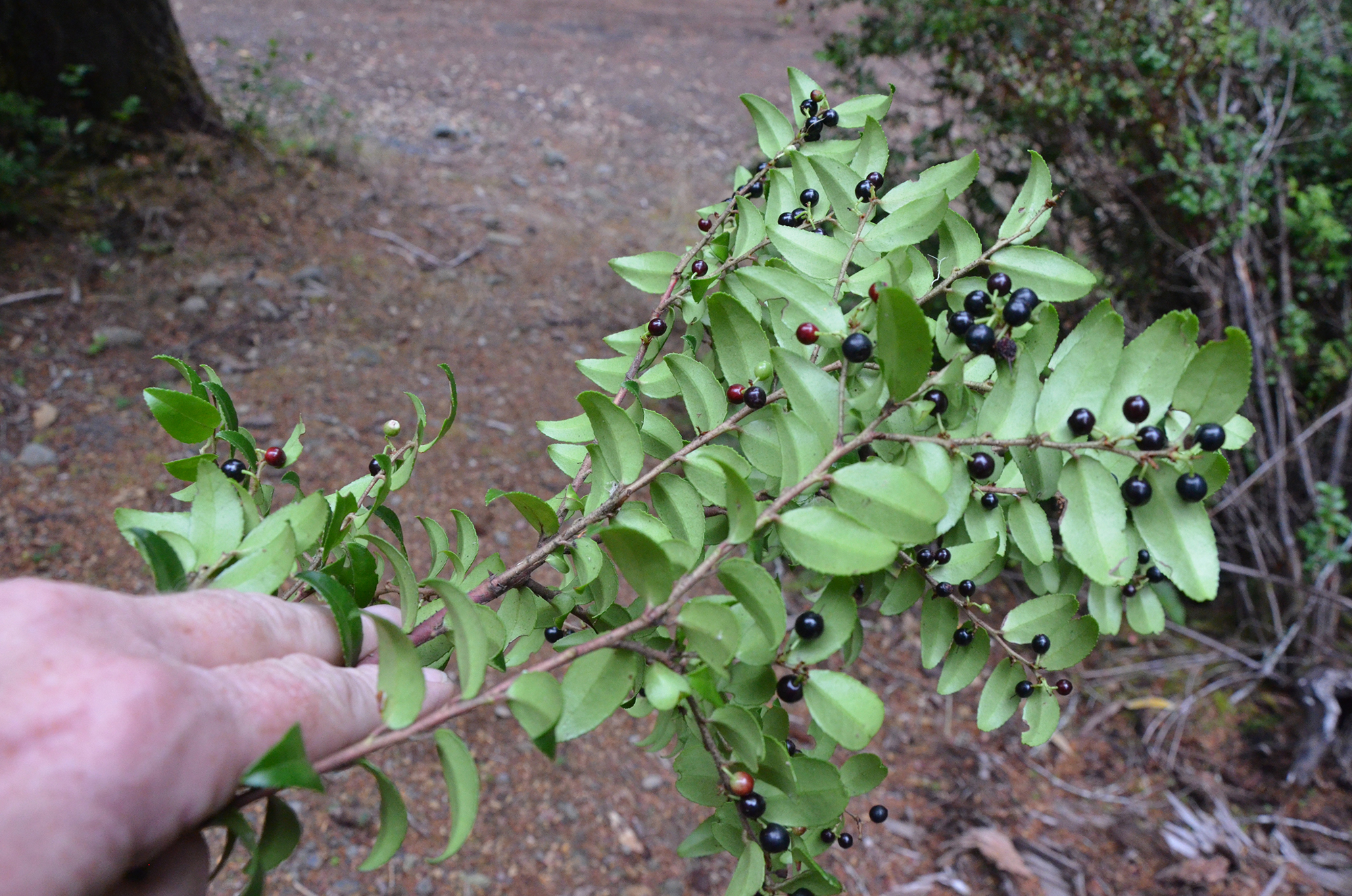
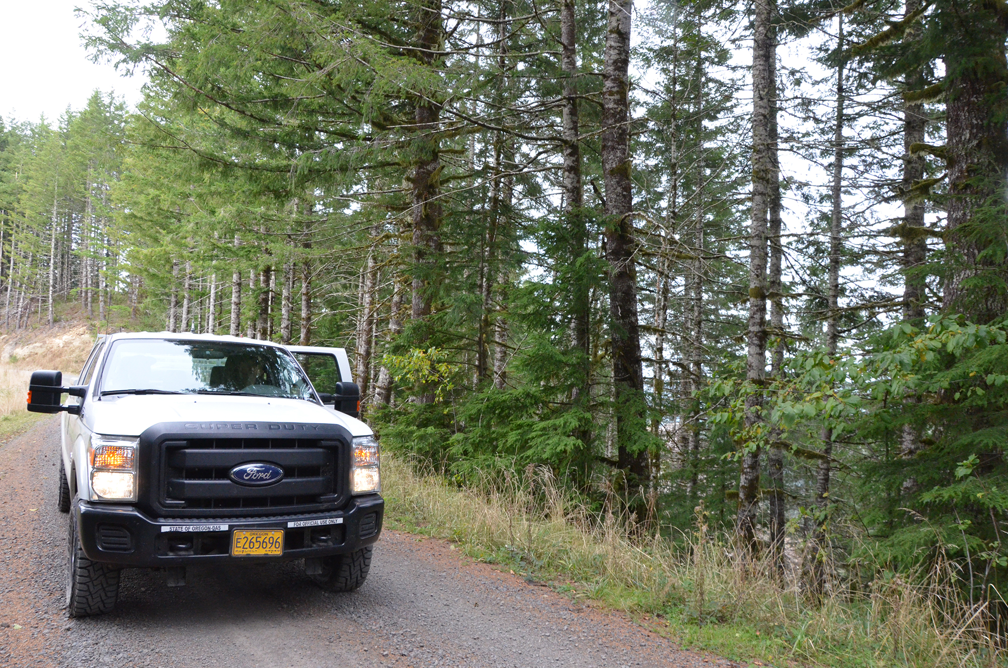
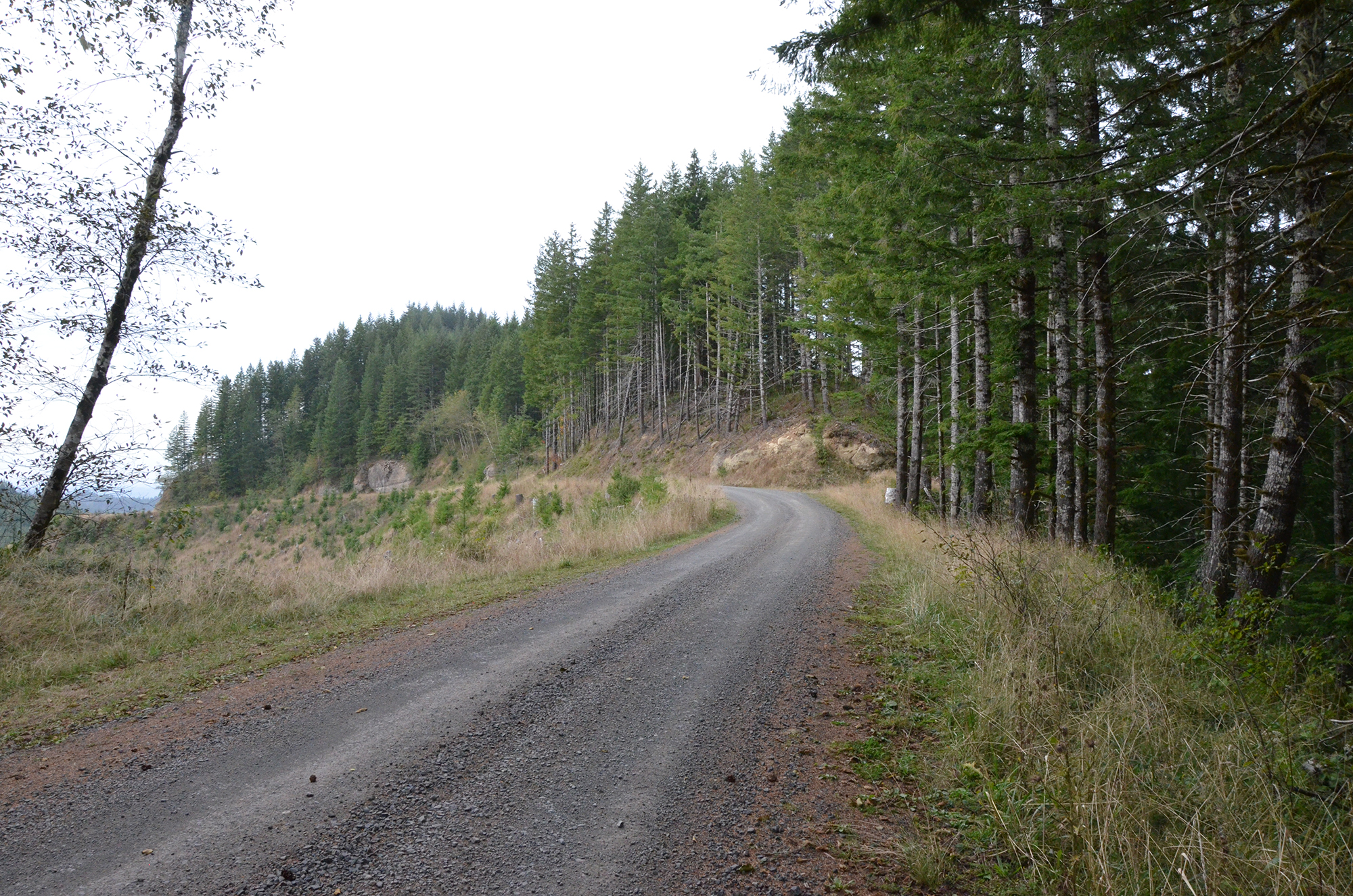
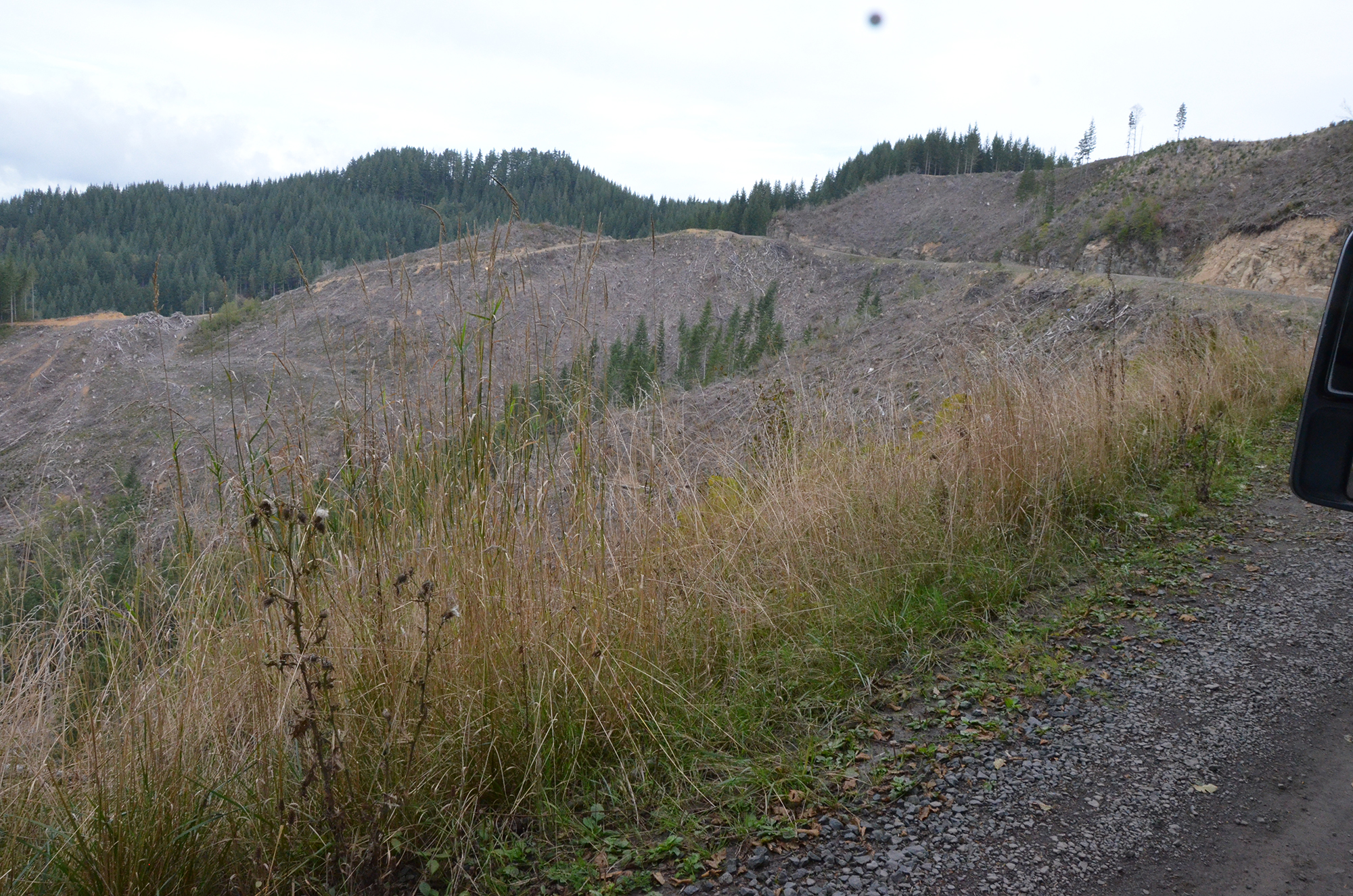
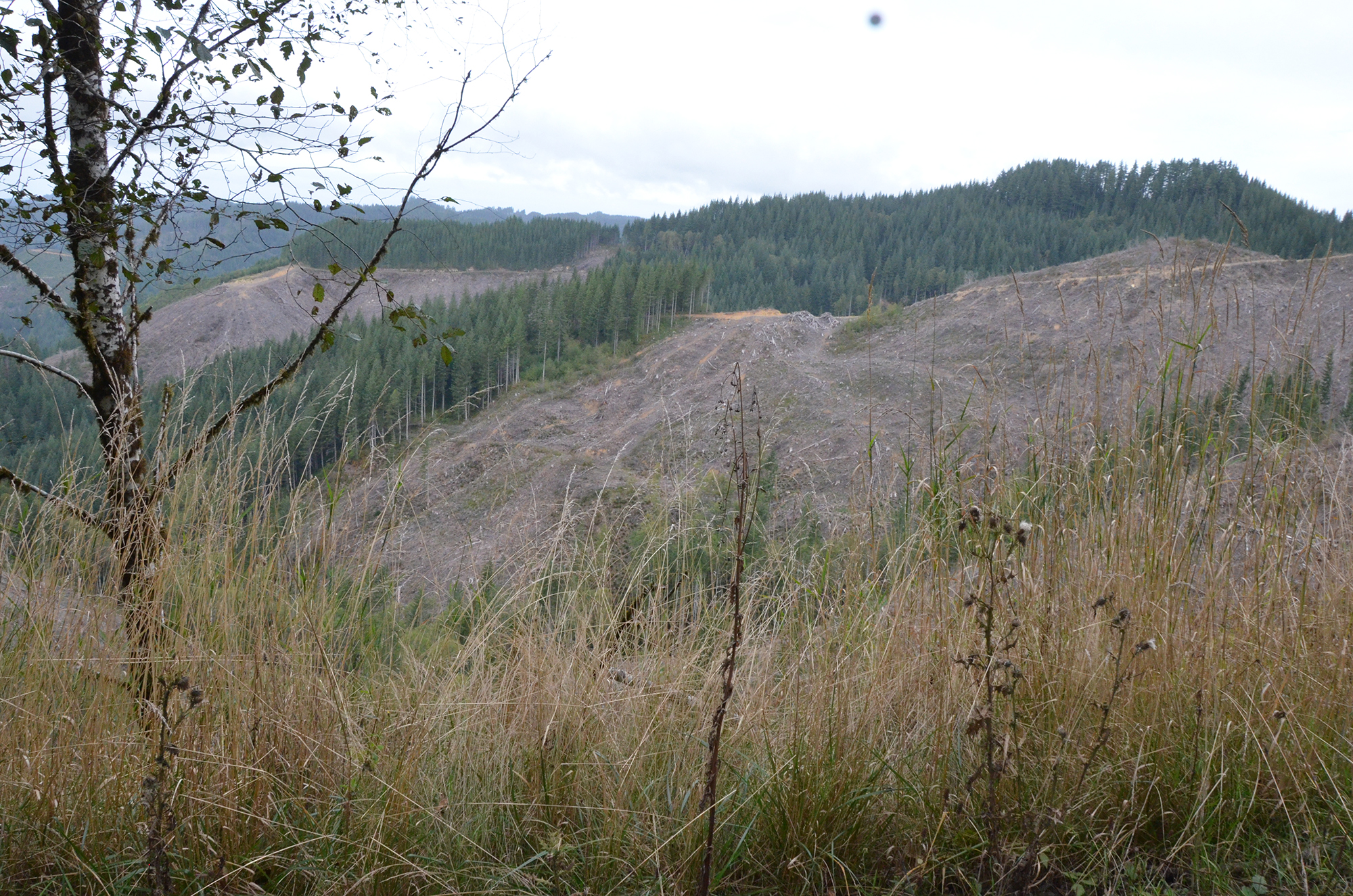
A recorded interview from Bob Zybach's Elliott State Forest oral history project, made October 10, 2017 on 7 tape sides and printed as a 135-page transcript, with his own stop-by-stop index.
Transcript
Pages are numbered as Bob Zybach printed them. Each page number is a
permalink.
printed page N is on PDF page N + 2
Some speaker labels on this transcript were recovered from the typography
of the printed page rather than printed as names; those attributions are
inferred.
p. 1 #A-01 1-B 0:50 Buehner’s Logging Camp
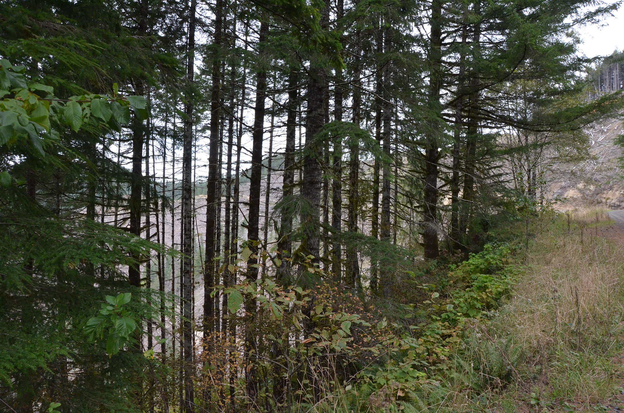
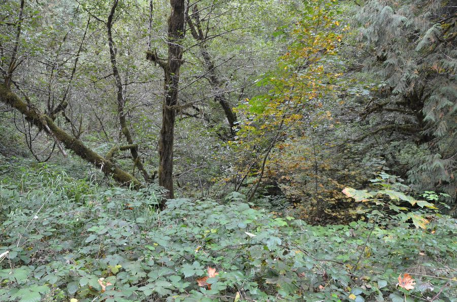
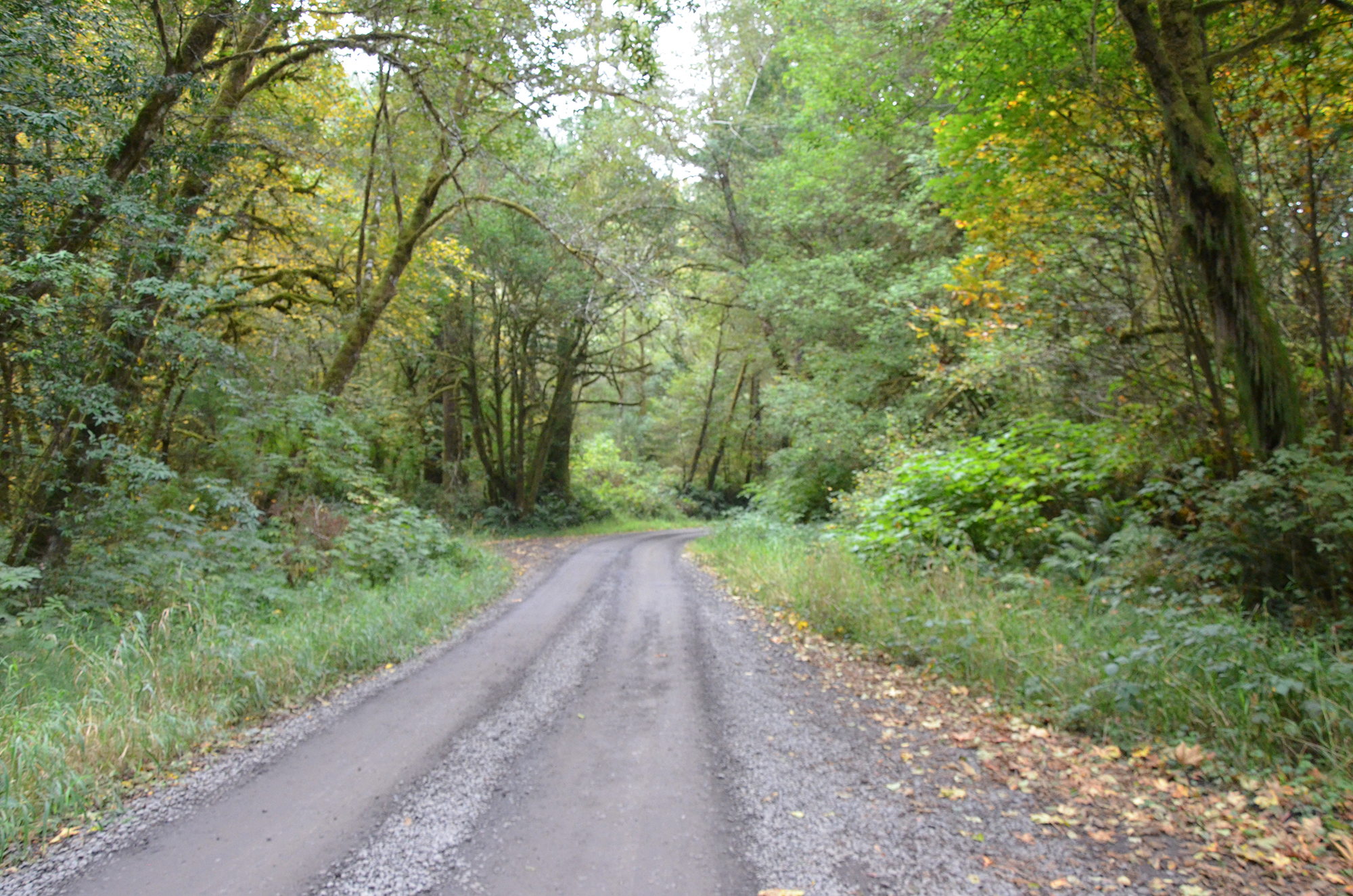
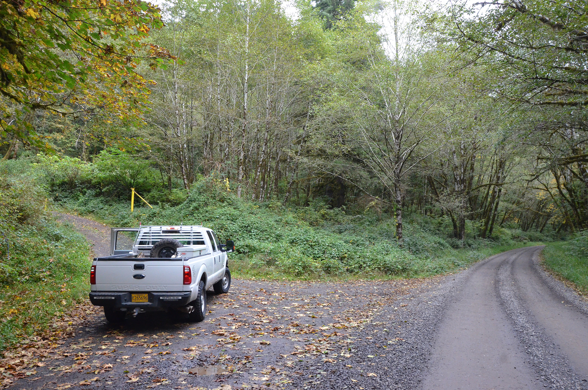
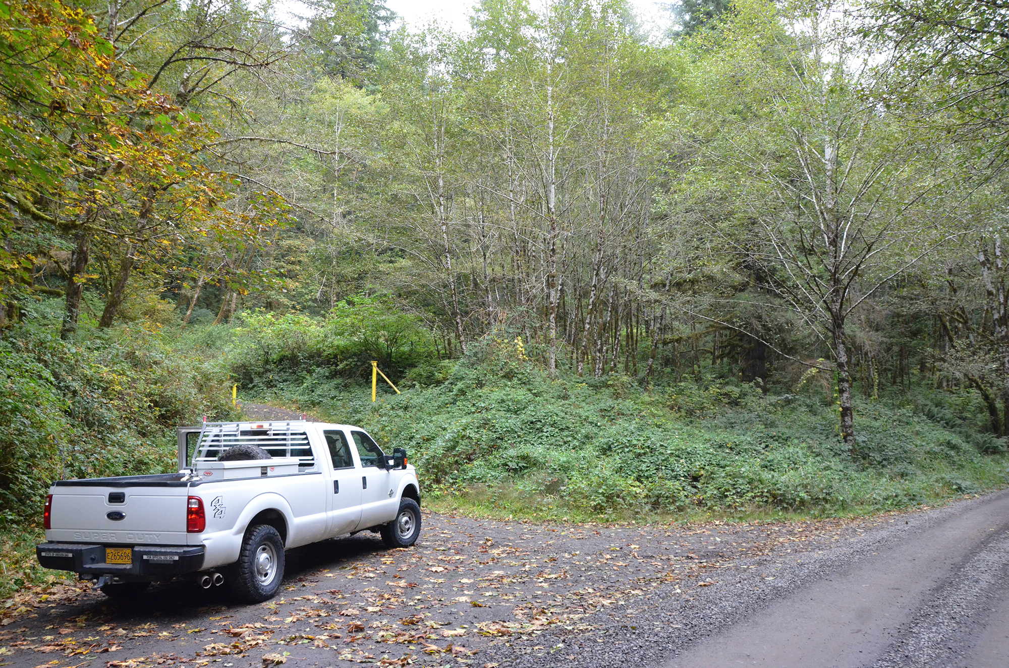
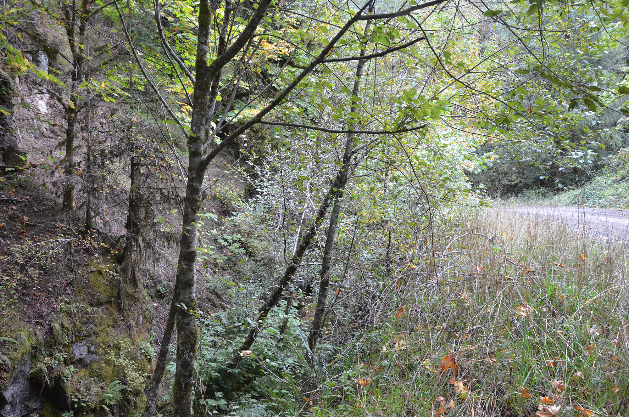
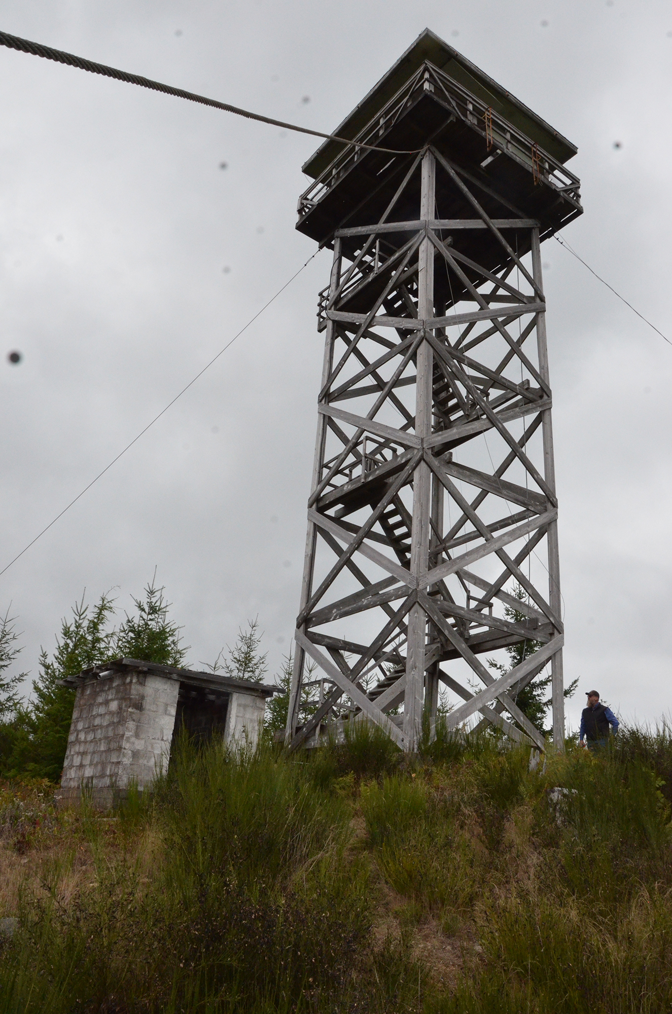
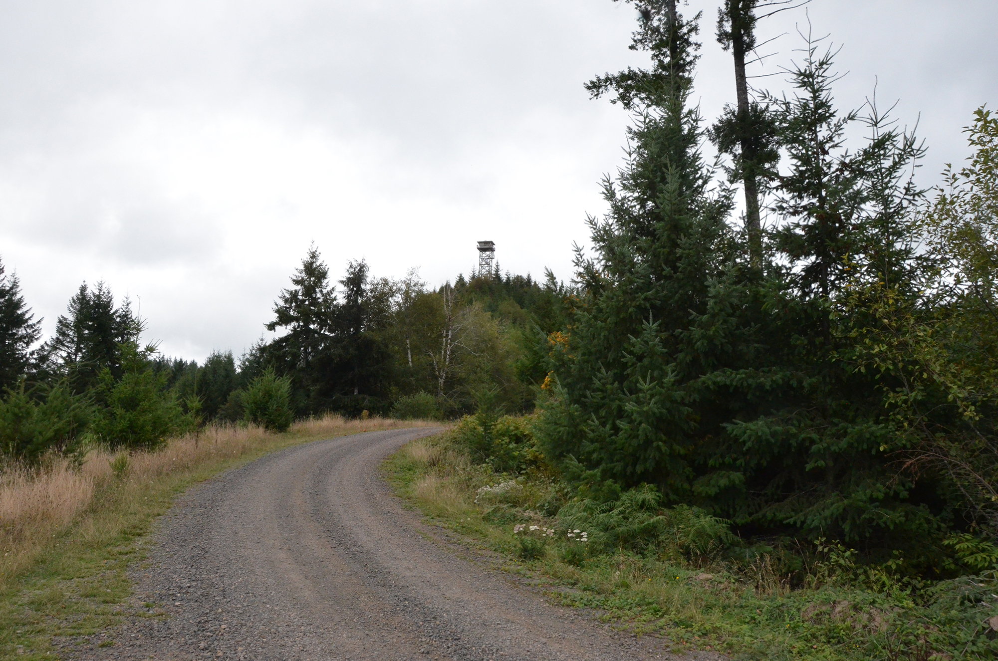
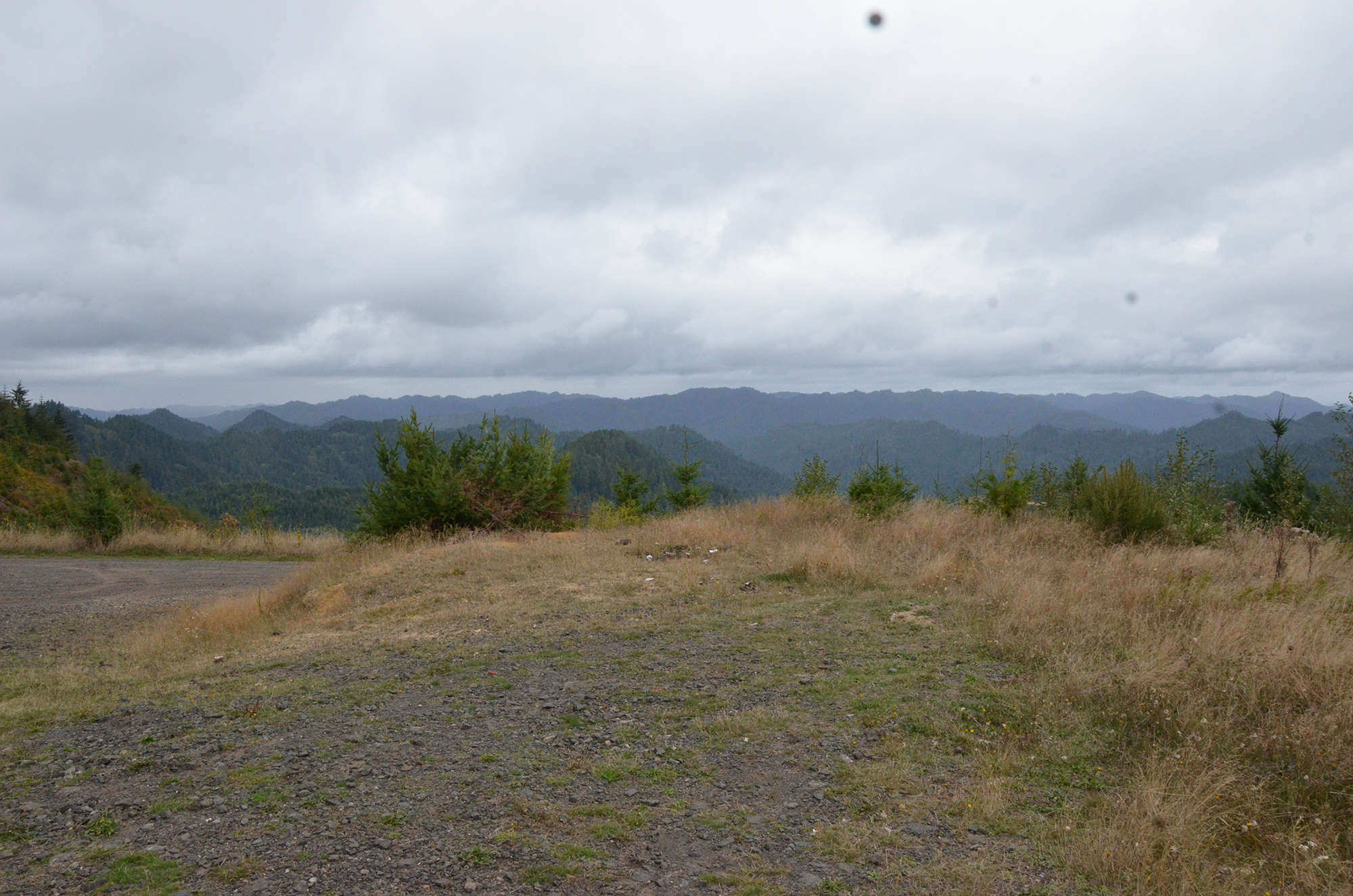
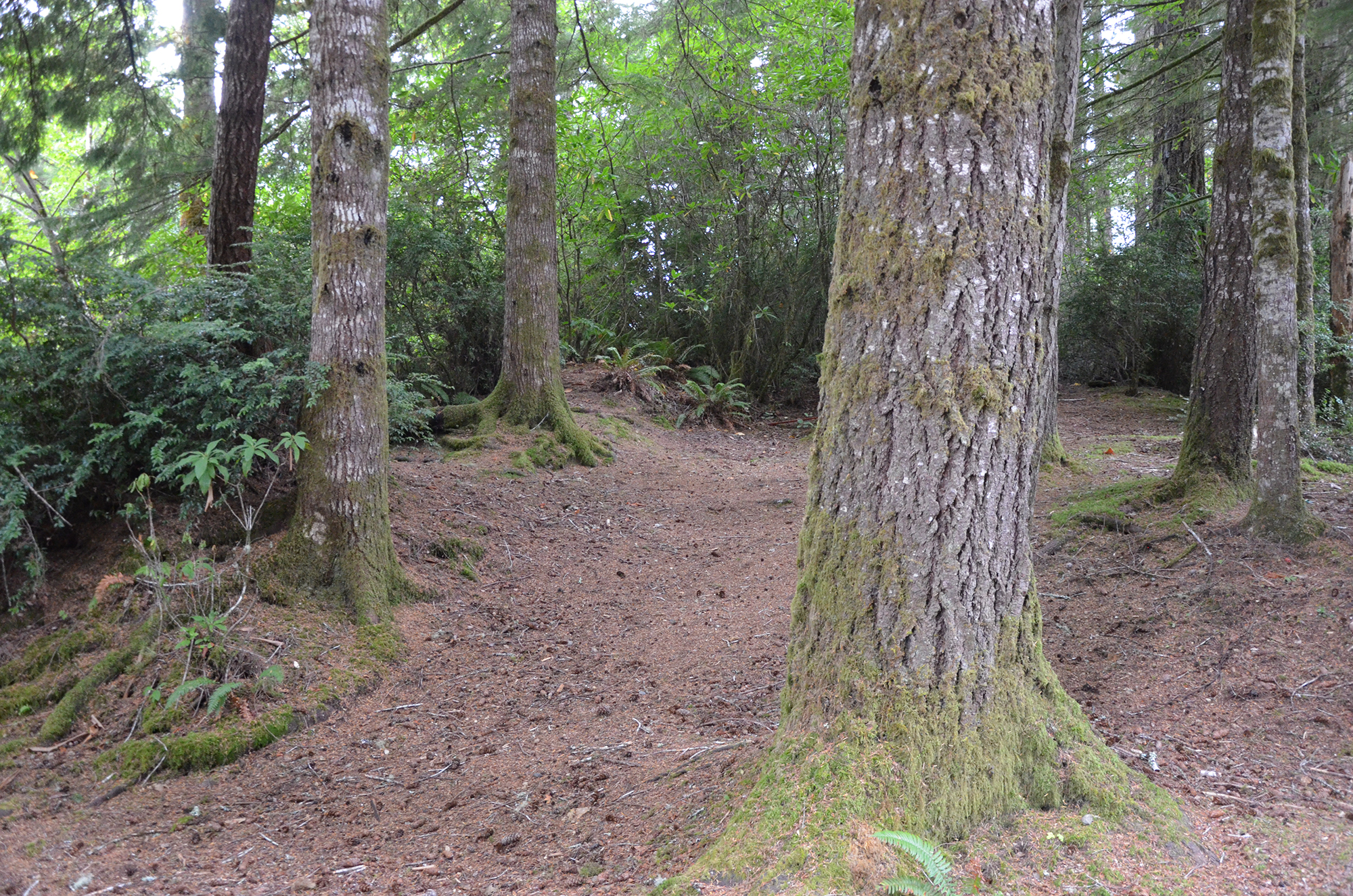
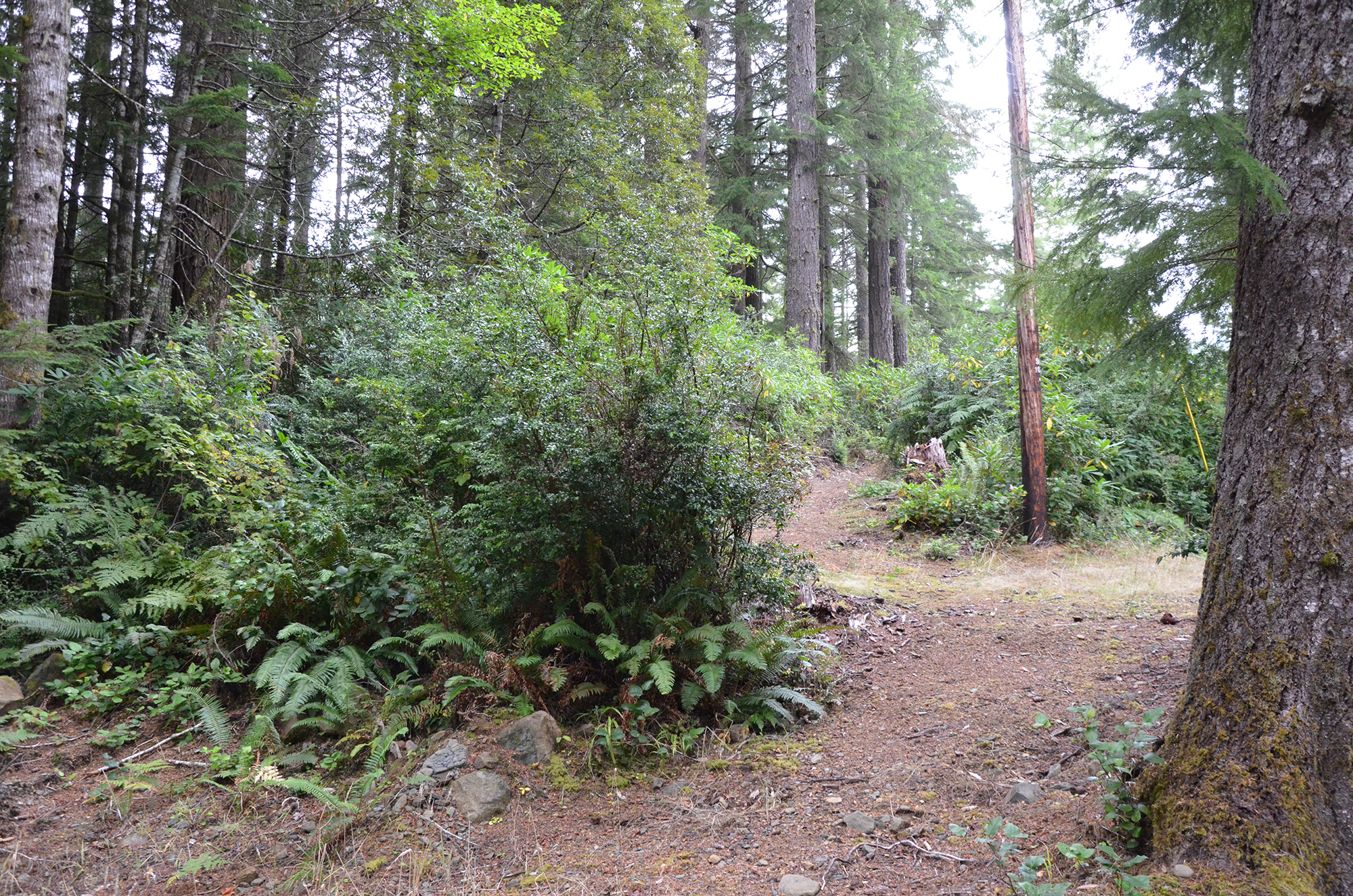
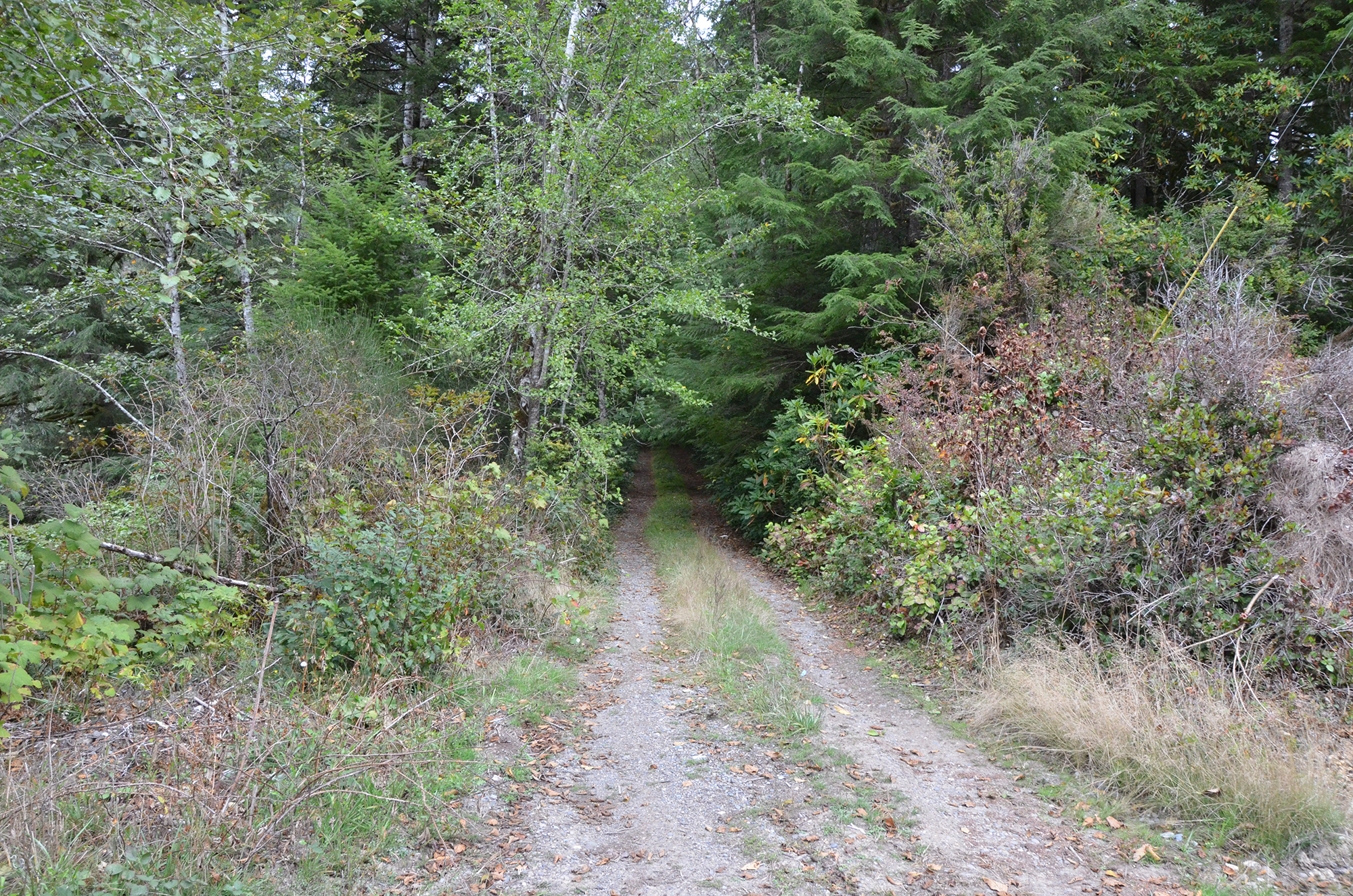
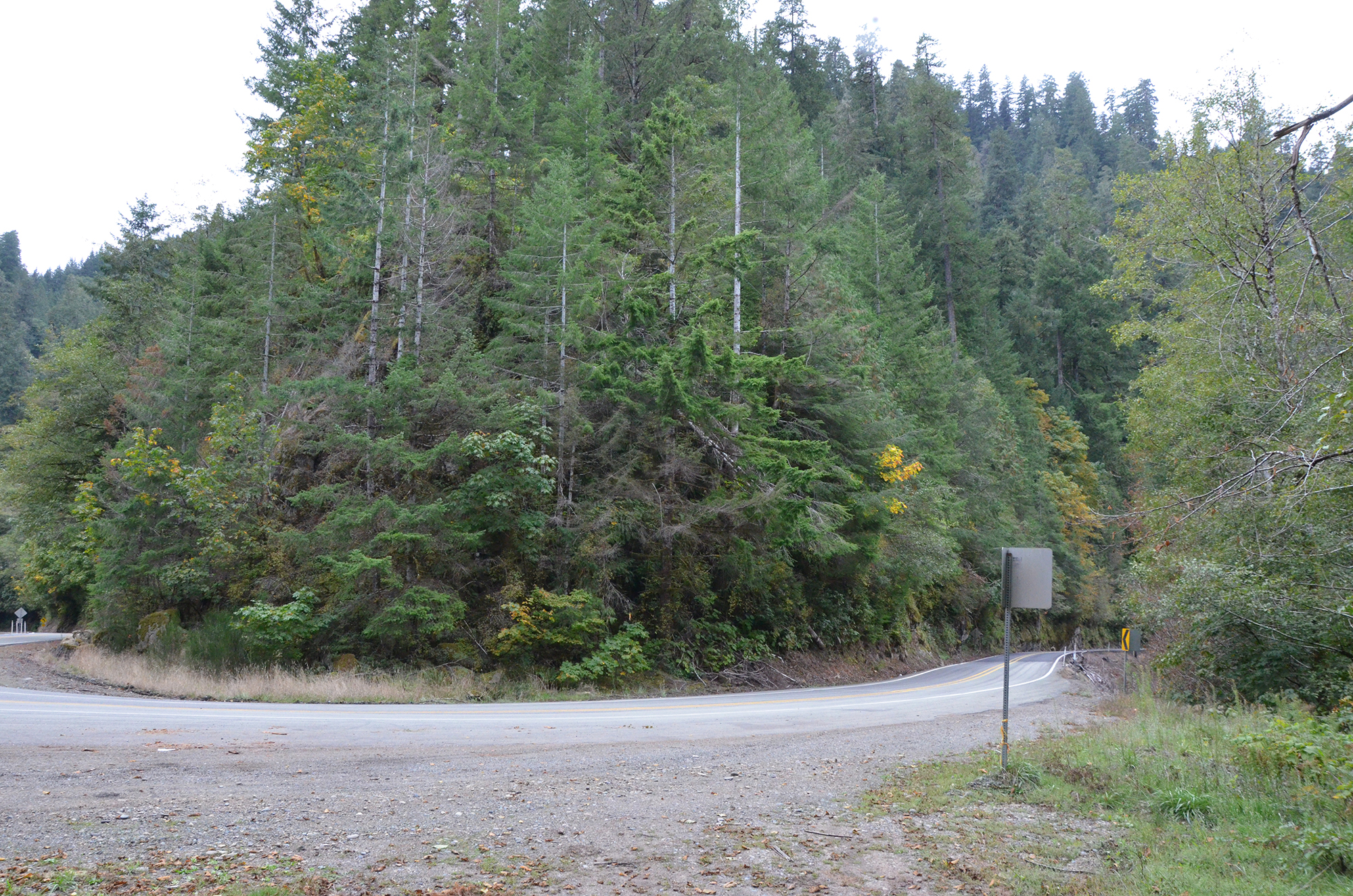
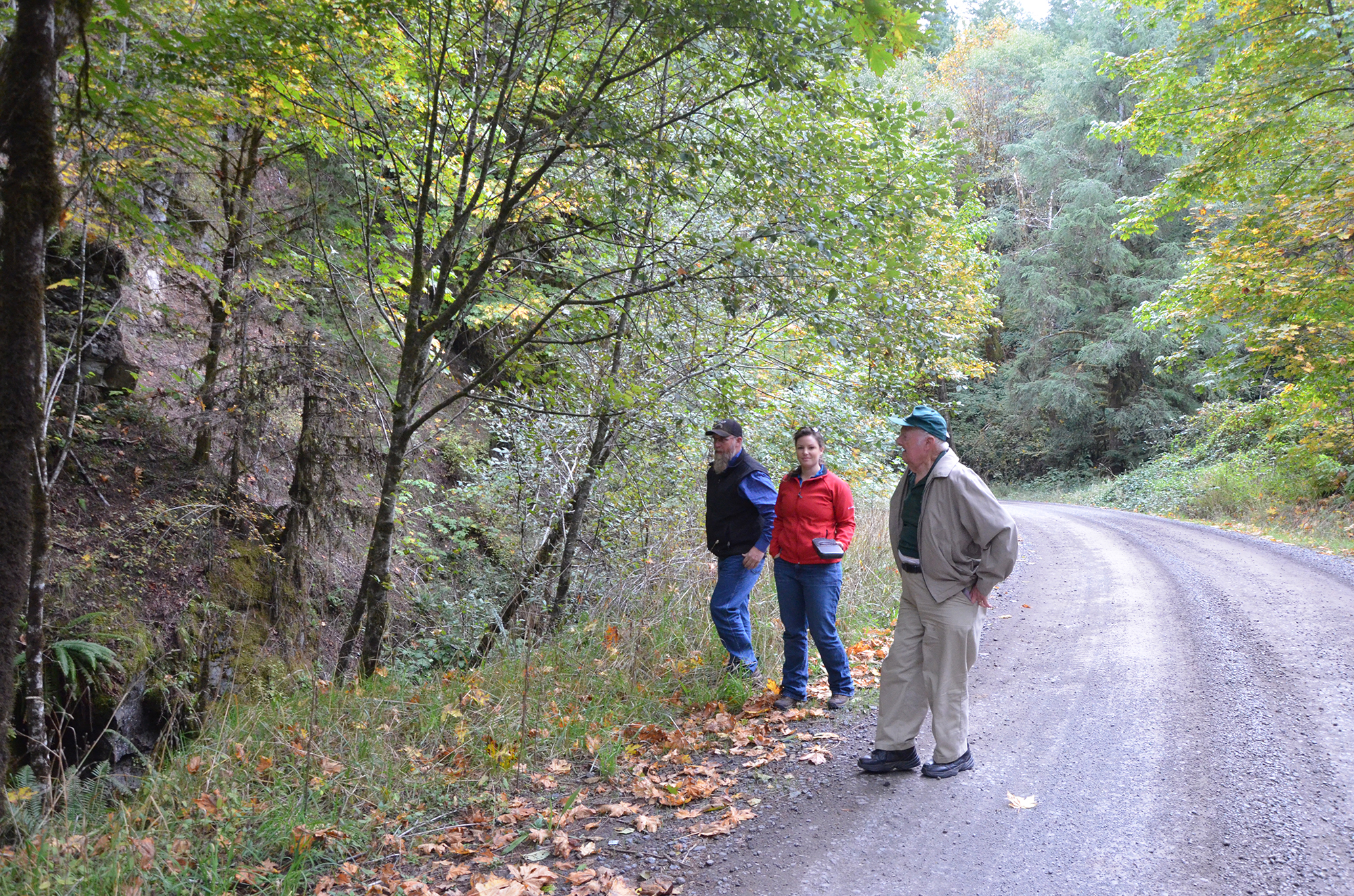
Stop #A-01 1-B 0:50 Buehner’s Logging Camp. Photos (4): 0864; 0865; 0866; 0867
Tape 1-B. Interview with Jerry Phillips by Bob Zybach with Amber Ross and Randy Wiest while touring the Elliott State Forest on October 10, 2017. Part 1. Allegany to the Elliott on Marlow Creek [1000] Road
Bob Zybach:
Okay. This is October 10th [2017], and we're on the 1000 line [Road]. Jerry Phillips, Randy Wiest, Amber Ross, me, Bob Zybach, and we're making an oral history recording and we've all agreed that these words can be used on the Internet and so on. Let's see, Jerry, Randy, do you have anything to say?
Randy Wiest:
I do not.
Bob Zybach:
Okay, Amber?
Amber Ross:
No.
Stop #A-01. 0:50 Buehner’s Logging Camp. Photos (4): 0864; 0865; 0866; 0867
Bob Zybach:
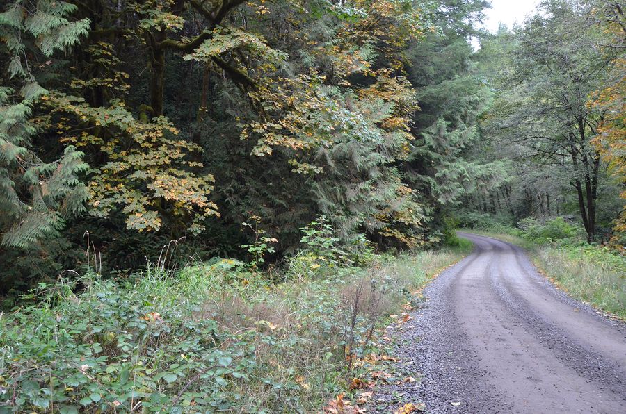
Okay. Jerry, we're on the 1000 Road, it used to be a railroad grade, and we're by the old logging camp. Can you say the history of this road, kind of tell us what happened here?
Jerry Phillips:
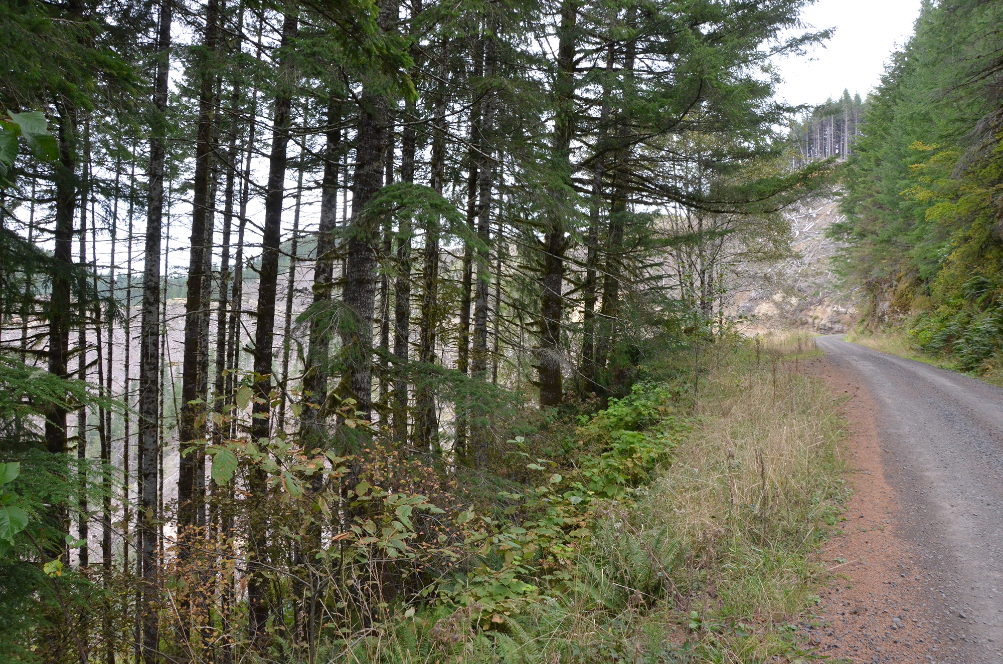
Well this was all privately owned land, where we are, until the 1920s. I met the man who had worked for the Buehner & Stout Logging Company. They were the ones who built the railroad. And his job was to go out ahead, up the canyon here, and to decide which land they should buy for logging.
Jerry Phillips:
This railroad had 7 bridges across Marlow Creek, and includes inclines up some of the steep ridge ground, to harvest there. The logs were all moved out of here by railroad and splashed in the Millacoma River, down by Allegany, down to their mill in the Coos Bay-North Bend area. When we came in here in 1955, when the Elliott forest became under management by the State Department of Forestry, we decided that bridges are difficult and expensive to maintain, so we tried to relocate this road in many places so it wouldn't have bridges.
Bob Zybach:
Was it still a railroad grade at that time or were they using it for automobiles?
Jerry Phillips:
It had been abandoned. I'm going to guess in the mid '40s, it was abandoned for use. And the fire patrol, Coos Fire Patrol, tried to maintain it for a while because it was considered a high hazard area for fire possibility. So they just kept it marginally open for that.
p. 2 Bob Zybach:
What was the reason for the fire? Was it old buildings and logging debris?
Jerry Phillips:
It's because of the old logging debris from the railroad days. So there were a lot of snags and unburned slash in here that was a possible fire area.
Bob Zybach:
So when you opened this up in '55 for logging and you're realigning the railroad, was there still any of the old railroad shacks or any of the logging equipment or anything here?
Jerry Phillips:
Just upstream of where we are now, maybe another two miles up from here, there was a blacksmith shop.
Bob Zybach:
That's where we want to stop next.
Jerry Phillips:
Because of course the railroad itself had engines and log cars, so that called for a lot of maintenance, including blacksmith work. It became kind of a land mark, where someone was above or below the blacksmith shop.
Bob Zybach:
Well this spur right here, where did this go?
Jerry Phillips:
This spur took the place of an old incline where it was too steep for a road, and besides what they were doing was railroad logging, so they would put an incline up some area. It was just a little bit upstream from here. And with a donkey up on top, they'd lower these loaded cars down to the bottom, where the railroad mainline was.
Jerry Phillips:
So we converted this into a road. It was a long corner of old-growth, mostly red cedar, clear up at the end of this two-mile road to the left, and in those days it was considered you could spend $10 a thousand [board feet, or MBF] on building an access road. That was a kind of Board [of Forestry] imposed limit. So that gave us $20,000 to build this two miles of road. And since it was all dirt it was possible. There was no rock to be blown in building this right here. Our engineer was brand new, George Shore, it was part of his original job was to lay out this two miles of dirt road to reach that long corner of old-growth.
Bob Zybach:
If I wanted to take a photo that approximates the photo of the logging camp, would it be from this location?
Jerry Phillips:
I'd say just probably a hundred feet up here.
Bob Zybach:
Oh, okay. And then this incline here, this was built to go back to old- growth cedar?
Jerry Phillips:
The incline was a little further upstream. So this is where our engineer decided to put the road, so this would be all dirt here.
p. 3 Bob Zybach:
But where did this road go?
Jerry Phillips:
It goes up onto South Marlow Ridge, that's the name we gave it, South Marlow Ridge Road. It goes and it dead-ends maybe four miles up here on the ridge top.
Bob Zybach:
Is there any reason to drive this road?
Jerry Phillips:
I don't think so.
Bob Zybach:
Okay, it just goes up to an old cedar . . .
Jerry Phillips:
Well to a number of old harvest areas. We did quite a bit of harvesting on this road. A lot of hardwoods, a lot of it red alder. Some hemlock. Not fir because that was all harvested in the railroad days. So all you'd see is young fir and alder up the ridge.
Bob Zybach:
So the alder followed the original logging, it wasn't an understory or anything.
Jerry Phillips:
Yes, that's right. And as you can see, as we go up this road, all this alder and maple is from that railroad logging days.
Bob Zybach:
But when the railroad logged it was old-growth Doug fir?
Jerry Phillips:
It was. Well, fir and cedar, of course red cedar. And then some hemlock. Now I don't know if they actually hauled the hemlock out or not. Hemlock's been considered to be a very, very low value species, so they might not have hauled it out.
Bob Zybach:
So let's say about where that elderberry is, about where the photo would be?
Jerry Phillips:
Where the patch of alder is right here.
Bob Zybach:
Oh, okay, I'm not gonna wade through the blackberry. I'll take a picture of it, of the location.
Jerry Phillips:
Yeah. The picture was taken back this way.
Bob Zybach:
Okay, I'm gonna take a quick picture, I can leave that [recorder] running.
Amber Ross:
Okay.
p. 4 Jerry Phillips:
Today this is considered part of a fishery stream. The biologists really like it. It has three or four species of fish that they use. I think steelhead and coho and of course trout.
Bob Zybach:
How do you pronounce the name of the town that was here, or the logging site?
Jerry Phillips:
It was Buehner & Stout Logging Company.
Bob Zybach:
Buehner & Stout?
Jerry Phillips:
I think it was B-U-E-H-N-E-R.
Bob Zybach:
Can either of you think of anything to add Jerry, right here?
Bob Zybach:
Oh, what was the original name? Was it just called the railroad grade or when you made it into a road what did you called it?
Jerry Phillips:
Just Marlow Creek road.
Bob Zybach:
Marlow Creek road?
Jerry Phillips:
Mm-hmm (affirmative).
Bob Zybach:
Oh, okay.
Jerry Phillips:
They got a number assigned later on, but that was originally just called Marlow Creek Road.
Bob Zybach:
Oh, okay, and then it became the 1000.
Jerry Phillips:
Mm-hmm (affirmative). And one of the reasons it became a main road is because the land is commingled up here between Weyerhaeuser and the State. And Weyerhaeuser's done a lot of logging. One of the first things we did here was enter into a mutual agreement with Weyerhaeuser, so that they would pay for their share of the maintenance every year. So we got to be able to calculate how much volume we hauled over the road and how much that Weyerhaeuser hauled over the road, and then they would pay their proportionate percentage.
Jerry Phillips:
We simply used their contribution . . . Not really contribution, but their share, for maintenance. Including the lower end down here where we were on pavement there for a while. We used their share to cover some of the maintenance. It worked out very well.
p. 5 #A-03 1-B 12:23 Marlow Creek Channel Bypass
Stop #A-03 1-B 12:23 Marlow Creek Channel Bypass. Photos (3): 0869; 0870; 0871
Bob Zybach:
Is there anything between the old logging camp here and the blacksmith shop that you can think of to stop or look at or consider?
Jerry Phillips:
Well, we'll come to Y Creek, and that is where the incline came down the hill.
Bob Zybach:
Okay.
Jerry Phillips:
Nothing else I can think of.
Bob Zybach:
Okay, let's see.
Stop #A-03. 12:23 Marlow Creek Channel Bypass. Photos (3): 0869; 0870; 0871
Jerry Phillips:
We can see if maybe if we can stop briefly and look at where the two stream crosses were that we filled in and built a bypass for the creek.
Bob Zybach:
Is that where you rerouted the creek?
Jerry Phillips:
The channel change.
Bob Zybach:
I was really interested in that, that was one of the things I got listed. Okay, let's stop there next.
Bob Zybach:
And that's before Y Creek?
Jerry Phillips:
It is.
Bob Zybach:
Okay.
Jerry Phillips:
There were almost simultaneously three of these channel changes that were made. One is the one here on State land, one on Weyerhaeuser, and one on BLM up at Loon Lake.
Jerry Phillips:
And the one at Weyerhaeuser was at the request of Fish and Wildlife. I don't really know now how it was financed. There are these watershed organizations today that I know nothing about. They may have helped finance this channel change reconversion.
Bob Zybach:
So this is one of three channel changes.
Jerry Phillips:
One of three.
Bob Zybach:
But it's the only one on State ground?
Jerry Phillips:
That's right.
p. 6 Bob Zybach:
Okay.
Jerry Phillips:
Now that was to eliminate two bridges. You have seven bridges. Like the Eagles song, Seven Bridges Road. Kind of like that.
Bob Zybach:
Are you an Eagles fan?
Jerry Phillips:
I am. Statler Brothers and Eagles and Neil Diamond.
Jerry Phillips:
So this road's had a lot of rock poured on over all the years. Of course the Elliott Forest has no good road rock, so it's all been purchased and brought in.
Jerry Phillips:
We always thought that someday we'd find some good road rock 'cause it's around us in two different places, but it's not in our ownership.
Jerry Phillips:
And of course this road was originally a dirt road. It wasn't rock until later because we couldn't afford to put rock on it initially.
Bob Zybach:
So does that just mean it was seasonal?
Jerry Phillips:
Pretty much, yeah.
Bob Zybach:
There's a lot of elderberry through here. Are there any pure patches of elderberry?
Jerry Phillips:
I don't think so.
Bob Zybach:
Okay, so they're scattered.
Randy Wiest:
Hello (sudden traffic).
Jerry Phillips:
Everybody around here kind of understands that all the roads back here are single-lane with turnouts.
Randy Wiest:
Right.
Jerry Phillips:
Amy, we have a road maintenance contractor. We've used every way I think it was ever devised to maintain the roads or the systems. Except for owning equipment, we never wanted to own any road maintenance equipment. We had all different systems, with maintenance sharing.
Bob Zybach:
There we go.
p. 7 Jerry Phillips:
That's why I was kind of terrified of these meaty rock trucks, that's one of the big worries. Those rock truck drivers tend to drive too fast. They're being paid by the load, so they do it fast.
Amber Ross:
If you see one of those markers, that's the edge of the road.
Randy Wiest:
Yeah, I know. I was just wondering if I could get . . .
Amber Ross:
Inside him?
Bob Zybach:
Yeah, he's got a little bit of a pullout.
Randy Wiest:
He's got a little more of a shoulder here than . . .
Bob Zybach:
Alright, looks good.
Jerry Phillips:
That's Dave Gould's company.
Bob Zybach:
Most of the rock on here is from Gould's, isn't it?
Jerry Phillips:
Yes, it is.
Bob Zybach:
And on Weyerhaeuser.
Jerry Phillips:
Because it was the closest quarry.
Jerry Phillips:
The rock that it imports, it's all part of the Umpqua River.
Jerry Phillips:
It's all river rock. Which is very hard, and very good rock, but you have to crack it.
Jerry Phillips:
This is where that channel change is right here.
Bob Zybach:
Okay.
Randy Wiest:
We're stopping here.
Bob Zybach:
Yep, we have a pull of there?
Randy Wiest:
Yep, we're good.
Bob Zybach:
Okay. I wanna get a photo of that, too. We got a photo in the book. That's one of the good advantages with Jerry, is not very many people write their whole history out ahead of time. You have to kind of make up things as you go, but with Jerry it's all lined out.
p. 8 Bob Zybach:
Jerry, while I'm taking a photo here, where does the channel change at specifically? Is it right up here against this rock wall here?
Jerry Phillips:
Yeah, it starts right up here, about 100 feet here. The old channel --
Bob Zybach:
The old channel's off to our left?
Jerry Phillips:
Yeah, which is now being used again. But when we tried to bypass it, put a bypass right here, of course Fish and Wildlife originally said "No, that's good, it's okay." Then later, maybe, what, five years ago? Six years ago? They decided they did not like it anymore, they wanted to use the original channel. So all three, Weyerhaeuser and BLM and here. So that's what happened.
Bob Zybach:
So they put in culverts instead of bridges as . . .
Jerry Phillips:
Yep, mm-hmm (affirmative).
Bob Zybach:
Oh, okay.
Randy Wiest:
Undo your seatbelt there.
Randy Wiest:
There it is, yep, I see.
Bob Zybach:
Wow. There's a picture in the book where they're cutting through right through here. Can we take a picture of all three of you together here?
Amber Ross:
Oh.
Randy Wiest:
Oh, okay.
Bob Zybach:
Then we'll know who the voices are. Amber, you've got the recorder, right?
Amber Ross:
Mm-hmm (affirmative)
Jerry Phillips:
There were two railroad bridges here.
Bob Zybach:
So the railroad bridges would have been . . .
Jerry Phillips:
Right here.
Bob Zybach:
Right here?
Jerry Phillips:
Mm-hmm (affirmative), and one down here.
p. 9 Bob Zybach:
Okay. And so this stream runs up this way?
Jerry Phillips:
Yep, it comes down here.
Bob Zybach:
And this is the feed stream?
Jerry Phillips:
Then it runs this way, then it runs back into the main stream.
Bob Zybach:
It looks there's a feeder.
Jerry Phillips:
Well there'd be a little one there, yeah. Would be a little one.
Bob Zybach:
Amber, since you're in GIS, will you be able to test these and see where they're located?
Amber Ross:
Yeah, I've been taking points.
Bob Zybach:
Oh, good, good. I want to be able to find my way back to them.
Amber Ross:
Yep.
Bob Zybach:
I think we're getting things located pretty well.
Amber Ross:
It's incredible how much that man can change the landscape.
Bob Zybach:
Probably a lot of dynamite through here, wasn’t there Jerry, when they were ready to get this cut through here?
Jerry Phillips:
There sure was.
Bob Zybach:
Right down to bedrock. I guess the creek would've done that. They would never allow that now.
Bob Zybach:
Man, that's some major engineering.
Jerry Phillips:
Well originally Fish and Wildlife figured that fish passage was not a problem. The degree with which it would inhibit fish passage.
Bob Zybach:
Why'd they decide to take it back to the other side? Any ideas?
Jerry Phillips:
I never heard the argument. They're trying hard to cooperate with Fish and Wildlife. Brother agency there. So okay.
Jerry Phillips:
I think there was some cause sharing. I don't think this was . . .
Bob Zybach:
So this was busy work? Or was this some . . . What was rationale for it?
p. 10 Jerry Phillips:
Originally it was to eliminate the two river bridges.
Bob Zybach:
No, I know that, but why did they go to the expense of putting it back after this was already in place.
Jerry Phillips:
Have to talk to the Fish biologists.
Bob Zybach:
Okay.
Bob Zybach:
Another question, all that second growth through there, is that since it was logged last time, or was that-
Jerry Phillips:
That's the result of the railroad logging.
Bob Zybach:
Was that aerial seeded?
Jerry Phillips:
This site is natural, they didn't do anything.
Jerry Phillips:
Yeah, the reforestation laws didn't start in until . . . 1958, something like that?
Bob Zybach:
So these would go back to the '20s and '30s?
Jerry Phillips:
Mm-hmm (affirmative)
Bob Zybach:
Okay, so about 80, 90 year old stand. Okay.
Jerry Phillips:
I don't know of any fire history to this canyon. You'd think there would be. I would say there was, but just that whole thing was probably just a few incidental places accidentally burned.
Bob Zybach:
Did the railroad company, didn't they burn up land on purpose? Slash?
Jerry Phillips:
I don't know they did. I never heard they did.
Bob Zybach:
Maybe that's why it's high fire danger, because they didn't?
Jerry Phillips:
There was a law in Oregon back in the '40s that required the burning of slash. That went okay until the Silver Falls fire of . . . I don't know what year that was. Up by Silverton in Oregon. Now that's where the Silver Falls State Park is. They've burned, as they were required by law to burn, and it got away and it burned the whole park up there.
Amber Ross:
Oh, wow.
Jerry Phillips:
Of course it wasn't a park in those days.
p. 11 Jerry Phillips:
There was a big huge lawsuit from people who were damaged by that fire. That was the end of the law right there, the law stopped. You could burn, but were no longer required to. So of course they were happy to not do it, because it was a cost to doing it.
Bob Zybach:
So here they probably figured it was wet enough and close enough to the coast. But they had a railroad, they'd need a lot of firewood for that, but no fire history. This is outside the . . . Would these have been 200 year old trees approximately when they logged them?
Jerry Phillips:
I'd say 160.
Bob Zybach:
Same as Weyerhaeuser and Millacoma? Okay.
Bob Zybach:
So they may have burned about 1750 or 1770, but nothing since then?
Jerry Phillips:
Yeah.
Bob Zybach:
Okay.
Bob Zybach:
Well, let's see, the next stop is --
Jerry Phillips:
So this ownership, this plot ownership, which then became as a tax default, became Board of Forestry property, and goes to the main ridgeline up here. And that's what hit the reprod, that was the Elliott Forest.
Amber Ross:
Mm-hmm (affirmative)
Jerry Phillips:
That ownership, just right along the ridge top. The fire of 1868 hit the young Weyerhaeuser timber, and went out. No doubt the weather was a factor too.
Bob Zybach:
So the ridge line up there is the boundary of the 1868 fire?
Jerry Phillips:
Pretty much, yep.
Bob Zybach:
Okay, so they would've been inside of that, they would have had like say about 180, 190 year old stand on the earlier fire, or deforestation, whatever happened?
Jerry Phillips:
Yep.
Bob Zybach:
Okay. Well, that sure is interesting. You don't see that very often, where they put in a whole new channel like that. That wouldn't happen in the last 30 years I don't think.
p. 12 #A-04 1-B 27:40 Y Creek
Stop #A-04 1-B 27:40 Y Creek. No photos.
Jerry Phillips:
So that was one then, on Weyerhaeuser land, and then BLM up by Loon Lake. Another channel put in to . . . too many bridges.
Bob Zybach:
Well that fishing thing says that they were blowing holes in some of the waterfalls to make a better incline for the coho. So that's where they weren't even spawning before. So those are pretty major changes.
Bob Zybach:
Well, Y Creek, is that the next stop?
Jerry Phillips:
Yeah.
Bob Zybach:
Okay.
Jerry Phillips:
I don't think we'll be needing to stop there.
Bob Zybach:
Okay, kind of just slow down and point it out, take a reading or something.
Randy Wiest:
That's an engineering feat right there.
Amber Ross:
Mm-hmm (affirmative)
Bob Zybach:
Take out two bridges . . . two bridges.
Jerry Phillips:
Seven Bridges Road.
Amber Ross:
Seven Bridges Road. Wow.
Stop #A-04. 27:40 Y Creek. No photos.
Bob Zybach:
(Seat belt warning chime) I got a ticket the other day for not having a seat belt. In Coos Bay they had a Click-It-or-Ticket day.
Jerry Phillips:
Oh boy!
Amber Ross:
So I'm just recording points. Stop one, stop two, and then identifying logging from that.
Bob Zybach:
Then I think I got a lot of these pre-identified because of the book.
Bob Zybach:
That logging camp one was amazing, talk about an archeological site.
Amber Ross:
Yeah, it's hard to picture without the vegetation in the way of the view.
Bob Zybach:
I think people don't realize how dynamic and resilient forest land is.
p. 13 Jerry Phillips:
There's virtually nothing . . .
Bob Zybach:
Is this Y Creek here?
Jerry Phillips:
Yeah.
Bob Zybach:
Okay.
Jerry Phillips:
Yeah this is Y Creek.
Bob Zybach:
So this is where the incline was that they loaded the logs?
Jerry Phillips:
Came down the Elliott, right there.
Bob Zybach:
And then the other road that we first stopped at, that curves around up to there?
Jerry Phillips:
Yep, and past.
Bob Zybach:
Yep, okay.
Jerry Phillips:
This is just a curiosity here. Right here, in the creek, stood a black cottonwood tree.
Bob Zybach:
Yeah?
Jerry Phillips:
We used it as a reference point. Which apparently had been brought in by the railroad.
Bob Zybach:
The black cottonwood?
Jerry Phillips:
Mm-hmm (affirmative)
Bob Zybach:
Why?
Jerry Phillips:
I don't think they intentionally did, but it must of caught in on some of the railroad activity. There stood a probably 24-inch black cottonwood tree, which is of course totally out of its natural range. Finally the beavers killed it.
Bob Zybach:
So that's when the first invasive . . . Well, they've got the blackberries now. Were there any thick patches of thimble berries through here?
Jerry Phillips:
I don't recall any.
p. 14 #A-06 1-B 31:28 Piledriver Creek & Blacksmith Shop
Stop #A-06 1-B 31:28 Piledriver Creek and Blacksmith Shop. Photos (2): 0872; 0873
Bob Zybach:
Okay, and having logged through it before like they did, that would kind of tear any of that apart anyhow, I think.
Jerry Phillips:
You know, there really weren't any brush fields. Except the one big salmonberry patch on the Tenmile Butte road.
Bob Zybach:
Salmonberry on what road?
Jerry Phillips:
Tenmile Butte.
Bob Zybach:
Oh, okay.
Jerry Phillips:
That were just impenetrable patches. We tried to drag those logs through it to kind of scarify it.
Bob Zybach:
I wonder what I did with my . . . Oh, there it is.
Randy Wiest:
I thought I heard a log truck coming.
Jerry Phillips:
More rock.
Randy Wiest:
More rock.
Amber Ross:
We shouldn't be to the log trucks yet, and the log trucks should be going out the North. From about the 7-mile.
Randy Wiest:
Going out the North?
Amber Ross:
That's what I was told.
Jerry Phillips:
Well this is probably Weyerhaeuser logs coming down here.
Amber Ross:
Yes, yep.
Bob Zybach:
Where's the salmonberry patch at? Tenmile . . .
Jerry Phillips:
Tenmile Butte Road.
Stop #A-06. 31:28 Piledriver Creek and Blacksmith Shop. Photos (2): 0872; 0873
Randy Wiest:
Continue on?
Jerry Phillips:
Yeah.
Bob Zybach:
Yep, okay. The next stop is the blacksmith shop?
p. 15 Jerry Phillips:
Yes, now I'm gonna have to look hard to remember where, because now there's nothing to see. It's just to the right hand side, and I'm gonna have to use my memory to try and identify where it was.
Jerry Phillips:
It's just a wide spot in the road.
Jerry Phillips:
If we go through a railroad that branches up all these main tributary creeks.
Bob Zybach:
So there's old railroad grades up each of the tributaries?
Jerry Phillips:
Yep, correct.
Bob Zybach:
Did those get kept open as trails or used for logging again, or is it just all been bypassed?
Jerry Phillips:
Yep, except the dead alders.
Jerry Phillips:
Several years ago, one of our folks went back to the office with a piece of that railroad steel from one of these canyons.
Bob Zybach:
So was the blacksmith shop actually still standing? Is that why it was a landmark?
Jerry Phillips:
It was.
Jerry Phillips:
Two big red cedars, that was the other . . . kind of landmark.
Jerry Phillips:
This up here to the left is called Piledriver Creek.
Bob Zybach:
Piledriver Creek, right here.
Jerry Phillips:
Which we always assumed, see we always tried to use old names if we could, and we assumed that name was given because they must have used . . . The fir must have been just the right diameter for getting piling to maintain the railroad. So when we sold that timber up here we called it the Piledriver Alder sale and people at our sales office were quite amused by that. Those two words didn't go together. Piledriver Alder.
Jerry Phillips:
Just cause it was an alder sale on Piledriver Creek.
Bob Zybach:
Was the sale from down here or up along the ridge off that road that we looked at?
Jerry Phillips:
Little spur road from here right up the hill.
p. 16 Bob Zybach:
Oh, okay. What's that pile of stuff right there? Is that an old . . .
Jerry Phillips:
I don't know what that is.
Bob Zybach:
Huh. It doesn't look very normal.
Jerry Phillips:
Nope, this is artificial.
Bob Zybach:
Ah-ha.
Randy Wiest:
Good?
Jerry Phillips:
There is a little bit of cedar still in the canyon here. The elk love to eat it, so it's hard to grow it here.
Bob Zybach:
What's your idea on this land through here? Do you think eventually the alder should be logged off and reforested to a an earlier condition?
Jerry Phillips:
It's probably right in here somewhere that blacksmith shop was.
Jerry Phillips:
I've tried to identify it in later years myself, but it's hard anymore to see it. There's someplace where you can see the railroad piling in the creek. That section . . .
Bob Zybach:
There's a shop on the other side of the creek?
Jerry Phillips:
No, it's on the right-hand side.
Bob Zybach:
Ah-ha.
Bob Zybach:
Looks like there's a bench up there.
Randy Wiest:
Yeah.
Randy Wiest:
A little flat part down in here.
Jerry Phillips:
It's just a little wide spot in the road.
Bob Zybach:
I need Velcro for that recorder.
Amber Ross:
I know, we'll have to . . .
Randy Wiest:
There's some bungee cord, we can zip it tight.
Amber Ross:
See if we can rig it with something.
p. 17 Randy Wiest:
I can pull up here, off the road better.
Bob Zybach:
When I got my degree I did historical archeology so things like the blacksmith shop and railroad trestles and things like that were what we were looking for.
Amber Ross:
Okay, let's see if we can't rig this with a bungee.
Randy Wiest:
I think we can.
Randy Wiest:
That'll help. I fastened the laptop down, just kind of squeeze it in right next to you there.
Amber Ross:
There's a handle back here.
Randy Wiest:
Okay.
Randy Wiest:
At least keep it reasonably stable.
Amber Ross:
Is there a second one?
Randy Wiest:
Yeah, there is.
Jerry Phillips:
Now, Coos County has been angry with us for a number of years for not doing more harvesting in here. 'Cause of course the income goes to the county. But the fact is that the county can’t appreciate that it is almost all controlled by the riparian vegetation rules. So virtually everything in here that you see is restricted to harvest due to the riparian laws.
Jerry Phillips:
They don't appreciate that because on the county forest that rule doesn't ever get used. It should, but the county and the state just choose to ignore it along the county forest.
Bob Zybach:
So it's just the Elliott or the school lands?
Jerry Phillips:
Well, right, this is where it's in forest.
Amber Ross:
We're in the private land that the Forest Practices Act applies.
Jerry Phillips:
Right. It was supposed to be everywhere, but law enforcement is that way. Of any kind, by the highway department or whoever it is. Any law is kind of selective. As grown-ups, we all kind of understand that. And I'm kind of glad they say you can't drive from where you work to your home without breaking a law of some kind, some traffic rule. You're going too slow, too fast, you touched the center line, you didn't get in the turn lane
p. 18 Jerry Phillips:
quite soon enough. Thankfully they don't call all the laws or we'd all be in jail.
Bob Zybach:
So this is private land right through here?
Jerry Phillips:
This is county, but it's State Board of Forestry.
Bob Zybach:
Managed by the county.
Jerry Phillips:
Right, managed by the Department of Forestry, but because of that, the old law applies here that three-quarters of all the revenue goes to the county.
Amber Ross:
Is it three-quarters or two-thirds?
Jerry Phillips:
About two-thirds. It started out being about three-quarters, but it finally changed to about two-thirds.
Bob Zybach:
Okay, well I guess the only question I've got on the blacksmith shop, it's gone, something happened to it. But they've got a lot of fire, a lot of charcoal and a lot of metal, it seems like there'd be some kind of traces of it.
Jerry Phillips:
There probably would be, but I've tried for several years to pick out where it was. I have trouble myself doing that.
Randy Wiest:
Continue on?
Jerry Phillips:
Yep.
Bob Zybach:
Let's see, what's the next stop then?
Jerry Phillips:
Well it would be where . . . We don't need to stop, but up here ahead of us is the end of the old railroad bridge.
Jerry Phillips:
I'm pretty sure when we were working here originally, we had to walk from where the state highway started . . . Or we left state highway. So often we drove for three hours, we walked for three hours and then we worked for three hours. Typical day.
Jerry Phillips:
A lot of caulked boots got worn out.
Amber Ross:
This was the blacksmith shop or just old wood pilings?
Jerry Phillips:
Pardon?
Amber Ross:
Are those old pilings down there?
p. 19 #A-07 1-B 41:59 Old Railroad Grade
Stop #A-07 1-B 41:59 Old Railroad Grade. No photos.
Jerry Phillips:
They are.
Amber Ross:
Could that be . . .
Bob Zybach:
Wow. So that would be from the trestle?
Jerry Phillips:
Yeah. A lot of what was elevated trestles at that time was probably a part of this.
Bob Zybach:
Now they're all up the same height. They probably came from Piledriver Creek.
Jerry Phillips:
Probably did.
Jerry Phillips:
Which means that that timber was a little bit younger.
Stop #A-07. 41:59 Old Railroad Grade. No photos.
Bob Zybach:
Look at this rock right over here, Jerry. That's similar in certain ways with the vegetation with that pile we saw back there that was definitely artificial, but this is likely-
Jerry Phillips:
Well, that's just bedrock there.
Randy Wiest:
This is solid rock, yep.
Bob Zybach:
Wow.
Jerry Phillips:
Ordinary Tyee sandstone.
Bob Zybach:
So you said the next point of interest was the end of the railroad grade?
Jerry Phillips:
I'm not sure it's a point of interest, but it's the next thing that I just comment out there.
Bob Zybach:
Okay.
Jerry Phillips:
Coming to.
Bob Zybach:
What draw is this right here?
Jerry Phillips:
Well a lot of these don't have names.
Bob Zybach:
Okay, just a tributary.
Bob Zybach:
What do you know about Chief Marlow? Anything about him?
p. 20 Jerry Phillips:
Really nothing that I really know. It may be that the Coos or Coquille Indians have something, but I don't know that.
Jerry Phillips:
And we don't know that the Indians spent any time up in this country at all. There'd be no reason to, they had all the fish and shellfish and deer and some other things right down where they lived. So they probably didn't spend any . . .
Jerry Phillips:
This is where the old railroad grade went on up the right hand fork.
Bob Zybach:
So the old railroad grade goes from this point . . .
Jerry Phillips:
Up there. Just a short distance. Maybe a quarter mile and stops.
Bob Zybach:
Did they log all the way up to the ridge line up there?
Jerry Phillips:
Probably did, yeah.
Bob Zybach:
Okay. So it was a pretty big operation.
Jerry Phillips:
Oh yeah, it was. They were down through here for probably three or four years.
Jerry Phillips:
So this is all truck road. Built for trucks.
Bob Zybach:
So this is where, when you were logging off old-growth in the '50s, it was to build this road right through here?
Jerry Phillips:
Right, our first sale was here in '58, and the purchaser was required to build this road. Eight and a third miles of roads.
Bob Zybach:
So this is the first road sale on the Elliott?
Jerry Phillips:
Well, no, the one at Cougar Pass was before that.
Bob Zybach:
Ah.
Jerry Phillips:
Again, that was a patch of old-growth up there. That's what the Board policy was, cut the old-growth first.
Bob Zybach:
Well with Cougar Pass, was that from a sale in the '40s?
Jerry Phillips:
This was the first sale in the south end of the forest.
Bob Zybach:
Oh, okay, got it.
p. 21 Tape 1-B End 1-B 47:14
Jerry Phillips:
That there was in about a year earlier, about '57.
Bob Zybach:
So where was Marlow Creek No. 1 sale at?
Jerry Phillips:
Top of the ridge.
Bob Zybach:
Oh, okay. And then over, or just along the ridge?
Jerry Phillips:
We'll see when we get to it here.
Bob Zybach:
Oh, okay.
Jerry Phillips:
So now this is on Weyerhaeuser right here.
Bob Zybach:
It kind of looks like it. I did a cultural inventory for the Coquelles a few years ago, and we had a lot of fresh clear cuts. I've probably planted trees on a lot of this land out here in the 60s.
Jerry Phillips:
This is all been planted, but it takes a few years for it to be visible. And then that truck road . . .
Jerry Phillips:
Well . . . There was a kind of a very low standard truck road that went up this ravine. We didn't do that. It was a Weyerhaeuser predecessor that did that.
Bob Zybach:
Oh, before Weyerhaeuser?
Jerry Phillips:
Yeah.
Bob Zybach:
And it was a truck road, though?
Jerry Phillips:
It was trucks. We knew nothing about that. It was a small job, and it was some old-growth . . .
Tape 1-B End. 47:14
p. 22 #A-10 2-A 0:14 Logging Road Switchbacks, Fire & Wind History
Stop #A-10 2-A 0:14 Logging Road Switchbacks, Fire & Wind History. No photos.
Tape 2-A. Interview with Jerry Phillips by Bob Zybach with Amber Ross and Randy Wiest while touring the Elliott State Forest on October 10, 2017. Part 2. North Marlow Ridge Clearcut to Jerry Phillips Reserve
Jerry Phillips:
It is.
Bob Zybach:
We should be passing. We should be recording by now so.
Stop #A-10. 0:14 Logging Road Switchbacks, Fire & Wind History. No photos.
Jerry Phillips:
Well after we built this and they logged about fourteen million feet, that fir sale here, we realized that they couldn't haul poles or pilings through here, the curves and switchback were too sharp.
Bob Zybach:
Yeah.
Jerry Phillips:
So we had to come back with another timber sale and then widen it, the curves and the switchbacks.
Bob Zybach:
What were the length of the pilings they were pulling out of here?
Jerry Phillips:
They widened it here to make a better turn. Oh, they were forty feet and some may have been some were longer than that. We didn't require any length. They told us, "Oh, we couldn't bring ‘em out here." So, we had to come back and widen it.
Bob Zybach:
So, that rock face there is where the widening happened?
Jerry Phillips:
Yeah. Yeah. Mainly. So this is all Weyerhaeuser around in here.
Bob Zybach:
But you had to widen it because it was your sale?
Jerry Phillips:
Right.
Bob Zybach:
Okay. Got it.
Jerry Phillips:
Well because . . . It was a sale that involved poles and pilings. Now that's not the first sale. That was later on. There was a good market for barkies at that time. You know, the fully-barked pilings . . . So when we started to work in here, this was all Christmas trees.
Bob Zybach:
This was a Christmas tree plantation?
Jerry Phillips:
No. Not a plantation. Just how it grew back.
p. 23 Bob Zybach:
Oh, okay.
Jerry Phillips:
After the original logging, how it grew back. And then that was all logged a few years ago, and then that's gonna be it. That's the third stand on it. All Weyerhaeuser.
Jerry Phillips:
I'm sure there's been a hundred million feet all on this road here.
Bob Zybach:
All old growth?
Jerry Phillips:
Yeah old growth. Almost all.
Amber Ross:
So, when you say old growth, you mean trees that lasted through the 1800's fire. Regenerated after that?
Jerry Phillips:
Ones that were . . .Yeah pretty much that.
Bob Zybach:
The 1750 or 1770 fire?
Jerry Phillips:
When that fire in 1868 burned, they were too young to be commercial.
Bob Zybach:
They would've been 90 or 100 years old then?
Jerry Phillips:
They were ones that the fire didn't want to burn. Fires like to burn second growth. Course here you call it third growth, in Coos County. But the fire only took lengths. On a south slope with some wind, it'll climb over anything. It'll burn solid maple. A fire burn on an ordinary flat or gentle ground, it doesn't want to burn the new growth. So this whole area is Weyerhaeuser tree farm, we're still inside the Weyerhaeuser tree farm.
Bob Zybach:
When you're saying old growth on the trees that escaped the 1868 fire, are you saying like 200 year old trees or how old?
Jerry Phillips:
No, in 1868 they would've been . . . to the left.
Randy Wiest:
Left?
Jerry Phillips:
Weyerhaeuser spur there. Everything you see here is Weyerhaeuser. And it was all logged after the Columbus Day windstorm because it had all blown down and it all grew up again and it was also harvested again. So this is the third stand for this.
Bob Zybach:
The trees that were old growth, that you're referring to as old growth, were those trees that were like 200 years old ones that survived the 1868 fire?
p. 24 Jerry Phillips:
No, they were real young. They were about this size right here, something like that.
Bob Zybach:
In 1868 they were, but when you logged it how old were they?
Jerry Phillips:
You’re talking about Weyerhaeuser here. Weyerhaeuser logged this after the Columbus Day windstorm in 1962. Everything you see here clear in the distance, it's all Weyerhaeuser.
Bob Zybach:
But the Weyerhaeuser trees were 1750 to 1770 so, the hundred million feet your talking about, that was Weyerhaeuser timber?
Jerry Phillips:
Well, the hundred million, I just threw that figure out.
Bob Zybach:
Okay.
Jerry Phillips:
It was a combination: state timber and Weyerhaeuser.
Bob Zybach:
Okay.
Jerry Phillips:
That's what's went all over this road.
Bob Zybach:
But were those the ones dated to 1750 or 1770?
Jerry Phillips:
Yeah, they would be.
Bob Zybach:
Okay, so they would've been about 200 years old in 1962 during the Columbus Day storm?
Jerry Phillips:
That's right.
Bob Zybach:
Okay.
Amber Ross:
Wow. That was a big tree.
Jerry Phillips:
Well, the “Big W” here.
Bob Zybach:
I remember that day really clearly. Columbus Day storm. I think every older person in Oregon can.
Jerry Phillips:
That’s right. Here is where we enter the Elliott Forest. I'm not sure if it's called the Elliott Forest anymore but this is where you enter state property. Right around here. And the picture on the cover of my book was taken right here.
p. 25 #A-12 2-A 7:08 1958 North Marlow Ridge Clearcut
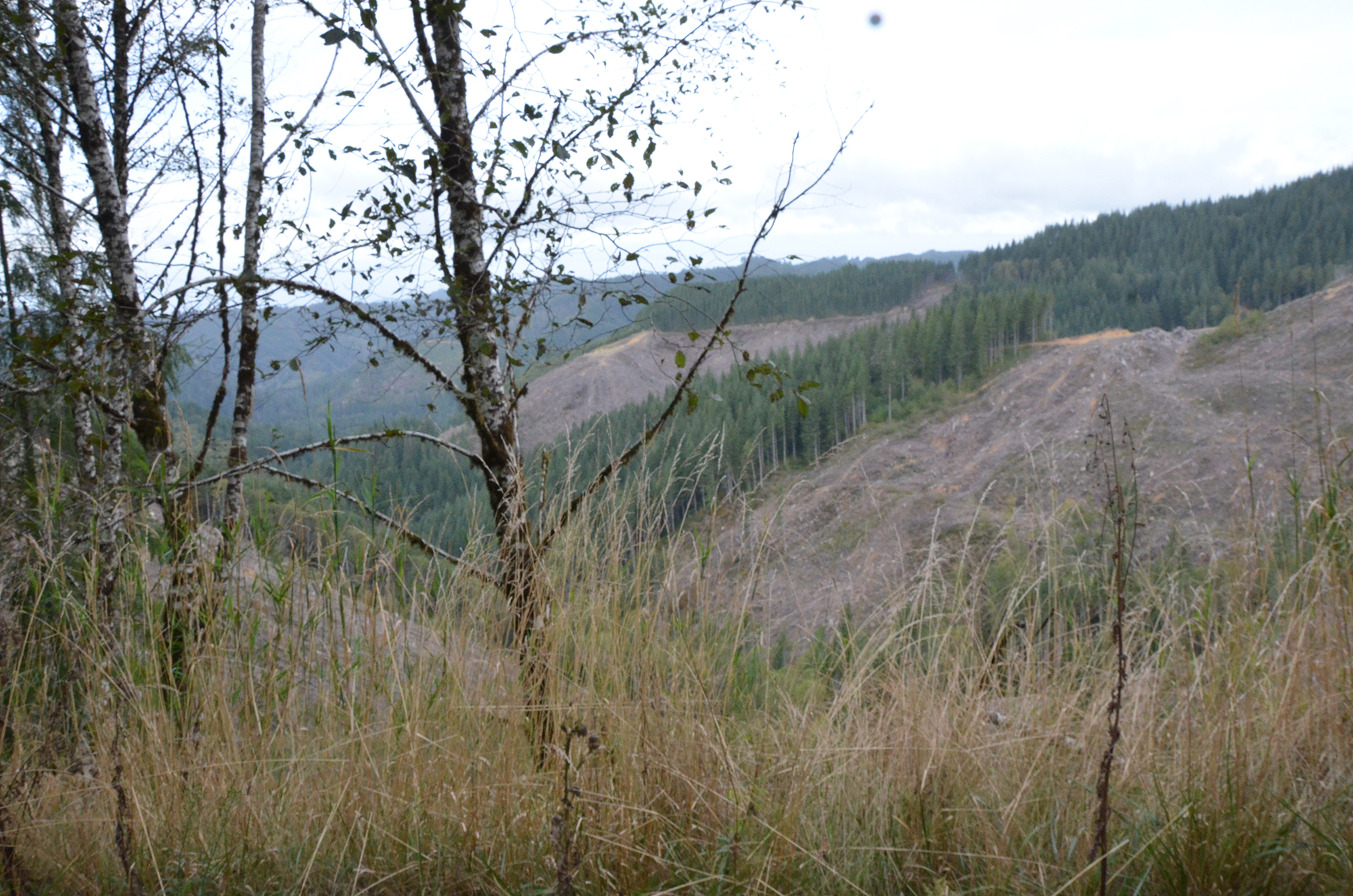
Stop #A-12 2-A 7:08 1958 North Marlow Ridge Clearcut. Photos (9 photos): 0874; 0875; 0876; 0877; 0878; 0879; 0880; 0881; 0882
Stop #A-12. 7:08 1958 North Marlow Ridge Clearcut. Photos (9 photos): 0874; 0875; 0876; 0877; 0878; 0879; 0880; 0881; 0882
Bob Zybach:
So this is the first logging sale on the south end?
Jerry Phillips:
1958 this was sold, about fourteen million feet. This is called Eleven Creek down here to the left and that was . . .
Jerry Phillips:
That sale was called . . .
Amber Ross:
The Eleven Creek Headwaters?
Jerry Phillips:
I think it was called Marlow Ridge, was what it was called.
Bob Zybach:
The sale?
Jerry Phillips:
And, as I said earlier, Board of Forestry policy was cut the old growth first. Well, after any salvage. So, this was a block here of old growth timber, maybe 170 years old, something like that. So, this was about 218 acres in this sale area, 218 and there's a few acres in the far distance here, a few acres in there of third growth. You know, 80 years old, maybe 70 to 80 years old, or so. But as our manager at the time, our first manager, said, "Well, what you're doing when you harvest any block, is you're creating the future block boundaries, the next crop. So you should cut to a natural geographic boundary. Don't just follow the age bracket. You're creating the future harvest boundaries."
Jerry Phillips:
So that's how they cleared to the ridge top over there.
Bob Zybach:
So this on the left, is this regenerated since the sale?
Jerry Phillips:
Yes, see after the 1958 timber sale . . .
Bob Zybach:
So this would be 60 years old?
Jerry Phillips:
First of all it was all aerial seeded with bad seed from the -- I finally thought of the name of where that . . .
Bob Zybach:
So this is the one we were talking about?
Jerry Phillips:
That's right.
Bob Zybach:
Oh. Okay.
Jerry Phillips:
That’s right. It’s the Steilacoom area by Fort Lewis and it was simply off- site seed. In those days there were no seed zones. So this was all aerial
p. 26 Jerry Phillips:
seeded and this was back when we were so naive, it appeared all we had to do was harvest the old growth and you burn the slash and you aerial seed it with a helicopter, and you just stand back and watch it all grow up. It's so simple, we thought.
Bob Zybach:
Yeah.
Jerry Phillips:
Because we were surrounded by a million acres of 70 year old timber, the south end of the Siuslaw and this, that it looks like you couldn't go wrong with those three things. Harvest, burn, aerial seed and you’re done.
Bob Zybach:
Yeah.
Jerry Phillips:
Ten dollars an acre to do that. Then, oh . . . then we begin to realize it's not that simple. It's full of mountain beavers and brush and you gotta cope with mountain beavers and brush and plant. So, it was way more expensive than we realized to manage a tree farm in this country here.
Bob Zybach:
Did you have mountain beaver right here?
Jerry Phillips:
No.
Bob Zybach:
Okay and then those small spindly trees that are growing up with the larger trees, would that be part of the aerial seeding? That they just haven't touched back into or would those be 60 year old stand with off-site seed maybe?
Jerry Phillips:
Yeah.
Bob Zybach:
And then you were saying, a 170 years old, you were calling them old growth. Did you call them old growth in the 50's?
Jerry Phillips:
We did. Yeah. We just recognized. We had the 70 year old third growth and the next age class, which was 170 some.
Bob Zybach:
Was that called mature second growth?
Jerry Phillips:
We all called it old growth because the loggers did. Loggers called it that. So we did too.
Bob Zybach:
Did you have any yellow fir up through here?
Jerry Phillips:
No. No. This is only a handful of that on the whole forest. That stuff is 300 years old. The yellow fir.
Bob Zybach:
Yeah.
p. 27 Jerry Phillips:
So there's almost none of that. Along Glenn Creek. There's a little bit along Glenn Creek. Maybe a few up around Loon Lake, in that canyon there . . .
Bob Zybach:
Mill Creek canyon.
Amber Ross:
Did you want to retake this photo?
Bob Zybach:
Yeah, I should. Thank you.
Randy Wiest:
We're at the right spot?
Jerry Phillips:
This is here . . .
Bob Zybach:
I want to get the reprod here and I can get the clearcut easy enough. The clearcut is the old . . .
Jerry Phillips:
That's the 1958 sale.
Bob Zybach:
But that was originally the 1958 sale, but then they've logged all that off recently again.
Jerry Phillips:
I said this is the ownership line so it must be just on the . . .
Randy Wiest:
So it must just be coming right up.
Jerry Phillips:
Yeah, it’s coming right up.
Bob Zybach:
I'm not sure. Is this reprod from the aerial seeding?
Jerry Phillips:
Yeah.
Bob Zybach:
Okay.
Jerry Phillips:
Of course, this timber right here is Weyerhaeuser, the actual standing timber right here is Weyerhaeuser. I'm sure this last time they cut right to the ownership line.
Randy Wiest:
So it's probably up there.
Jerry Phillips:
Another hundred feet.
Randy Wiest:
Yeah.
Amber Ross:
I'll be right back Randy.
p. 28 Randy Wiest:
Okay.
Randy Wiest:
Smile.
Jerry Phillips:
So I don't know for sure whose trees these are. The ownership line is right through here. Arch of the saddle.
Bob Zybach:
I went back through the book and I was looking for where the off-site seed was, and I didn't go back far enough. I didn't realize it was on the first timber sale.
Jerry Phillips:
Yeah.
Bob Zybach:
From Steilacoom, that's kinda interesting.
Jerry Phillips:
Yeah, that's where . . . Well, we believe that. There's no proof.
Bob Zybach:
Yeah.
Jerry Phillips:
Because the seed processors, they had just bought sacks of seed, sacks of cones.
Bob Zybach:
Yeah.
Jerry Phillips:
And the easy place to pick was the Steilacoom Plains up there. The trees were short, stubby, limby, easy to pick from.
Bob Zybach:
So this clearcut up here that we're looking at now, that was pretty much the same footprint as the '58 sale?
Jerry Phillips:
Yes it is.
Bob Zybach:
Okay. And then they seeded it in, we gotta couple of corners here of the old . . .
Jerry Phillips:
And then we came back and replanted some parts of it.
Bob Zybach:
Okay.
Jerry Phillips:
Because aerial seeding doesn't always work. So they had to come back a little later and interplant. You know it's interesting. This is back in '58 so, we were very willing to let the logging operators do what they wanted to do. This is probably where the actual state line is . . .
Randy Wiest:
State line is.
p. 29 Jerry Phillips:
Ownership line is right here.
Bob Zybach:
Randy can you stop? I want to take a picture right out the window right here. I want to get that buffer.
Jerry Phillips:
So they actually, today it seems kinda incredible, we actually let them cat log this.
Bob Zybach:
Wow.
Jerry Phillips:
I've got a good picture after they got done, and they slash burned the concentrations of slash. Actually cat logged almost all of this.
Bob Zybach:
That landing over there, is that state land too?
Jerry Phillips:
Yep.
Amber Ross:
Yep. Everything you can see in front of us.
Bob Zybach:
Wow. And so, that plantation up there on the ridge line, that's an older sale?
Jerry Phillips:
Everything you see here is Elliott.
Bob Zybach:
Maybe you can't see it where you're at. Right up on the ridge there it looks like about ten or twelve year old reprod and down below us here, it looks like three or five years old. That's the picture you've got in your book isn't it? Of the cat logging?
Jerry Phillips:
Yeah.
Bob Zybach:
Oh. Okay. Wow.
Jerry Phillips:
Now of course, the green timber in the draw, that's riparian zone stuff.
Bob Zybach:
Yeah, but you didn't have that in '58?
Jerry Phillips:
No, no.
Bob Zybach:
Wow. That's some of the steepest cat logging I've ever seen.
Jerry Phillips:
It shouldn't been allowed but what we were trying to do was establish a customer base.
Bob Zybach:
Yeah.
p. 30 Jerry Phillips:
And the logging operators, they knew BLM. They knew how BLM would react to it and the Forest Service. They didn't know anything about state and we weren't quite sure what to do either. We were just learning also. So we let ‘em cat log this even though we shouldn't have. I'm not sure any damage was done, it's just that today we wouldn't have allowed it.
Bob Zybach:
I wonder, could there have been compaction that caused the off-site seed in the cat logging to . . .
Jerry Phillips:
I don't think we'll ever know that.
Bob Zybach:
That was one thing that I was kinda interested in finding out, where they cat logged it like that. Well, that would be interesting to see what that looks like now years later, but then I didn't realize that was the same area that they hit with off-site seed so . . .
Bob Zybach:
Now the big bank of alder over on the far hill over there. And maple. That's gotta be state land, too.
Jerry Phillips:
That's state land. That's probably picked up through a land exchange. It was an 80 acre piece that we picked up through a land trade.
Bob Zybach:
Okay. So that's why it's got the alder on it. They've been using it for grazing land maybe or something.
Jerry Phillips:
I don't think so.
Bob Zybach:
Just logged it off.
Jerry Phillips:
It was gyppo logged, back in the early 50's.
Bob Zybach:
Do you remember who the exchange was with?
Jerry Phillips:
Oh, let's see. I think it was Al Pierce.
Bob Zybach:
Oh, Al Pierce. Okay. So he probably had several parcels?
Jerry Phillips:
Oh he did. We tried to pick up all the in-holdings.
Bob Zybach:
Amber, what's the plan on all those old alder stands that you've inherited? Or traded for?
Amber Ross:
You would have to ask Roger. I haven't noticed a lot of conversion.
Bob Zybach:
I used to do a lot of conversion on these old logging units where we'd slash it, burn it, plant it with fir.
p. 31 #A-14 2-A 20:20 Jerry Phillips Private Reserve
Stop #A-14 2-A 20:20 Jerry Phillips Private Reserve. Photos (5): 0883; 0884; 0885; 0886; 088
Amber Ross:
Really?
Jerry Phillips:
See today alder is a commercial species, so that would have value now.
Amber Ross:
Right.
Jerry Phillips:
Of course it didn't originally. So this was . . . to the left now, this was in the original sale in '58 that when they started to sell it again a few years ago, someone found a bird in here.
Bob Zybach:
Right in here?
Jerry Phillips:
Right in here. They found a bird so that eliminated that timber.
Bob Zybach:
Wow.
Jerry Phillips:
For the sale.
Bob Zybach:
A spotted owl?
Jerry Phillips:
I guess so, I'm not sure.
Bob Zybach:
Well some bird.
Jerry Phillips:
Could of been . . .
Bob Zybach:
They only left like a couple acres then?
Jerry Phillips:
Well no, the area that got impacted by the bird, it came further over here.
Bob Zybach:
Oh I see. Okay.
Jerry Phillips:
It was just that part . . .
Stop #A-14. 20:20 Jerry Phillips Private Reserve. Photos (5): 0883; 0884; 0885; 0886; 088
Randy Wiest:
So now we want to go right?
Jerry Phillips:
Yeah. Right. This was a sandstone rock quarry. It was used to put the initial rock on the road. Blasted all this off.
Bob Zybach:
So what did they do with that, they scraped it off the original road?
Jerry Phillips:
It was blasted for base rock. This is the 1440 spur that goes down to our 50 acres of old growth down here.
p. 32 Bob Zybach:
Oh let's take that. The other spur that went off to the left, was that just a ridge line logging road?
Jerry Phillips:
Yeah.
Bob Zybach:
It doesn't go anywhere?
Jerry Phillips:
No.
Bob Zybach:
Okay.
Jerry Phillips:
No this has all been thinned twice in here . . . To the left.
Randy Wiest:
To the left? Oops.
Jerry Phillips:
First we took all of the smaller hemlock out of here. Then we came back later and had an actual thinning sale. The rest of it . . . So we actually have a few acres of cat ground . . . To the left.
Randy Wiest:
Okay.
Jerry Phillips:
It's kinda fun to actually do some partial cutting where you have some choices.
Bob Zybach:
Yeah. Well there's some old growth stumps through there and a lot of younger stumps too. So the younger stumps would be from the thinning and the old growth would be from the earlier sale?
Jerry Phillips:
See, I don't know what that cutting was.
Amber Ross:
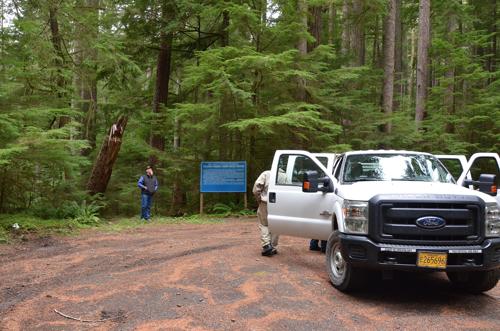
The road we're heading in is to the Heritage Site so all these survivors . . .
Jerry Phillips:
Might be stags.
Amber Ross:
Survive the 1800's fire.
Bob Zybach:
The 1868 fire, it would bypass that, but I think there'd be the 1750-1770 Millicoma fire. Jerry, David called this, "Jerry Phillip's Private Reserve."
Jerry Phillips:
Well.
Bob Zybach:
He said it like an admiring thing, not a mocking thing. He thought that should be the name.
Jerry Phillips:
Well it's just that we had about ten acres here, right near our property line.
p. 33 Jerry Phillips:
We had about ten acres just ahead of us up here.
Bob Zybach:
Yeah.
Jerry Phillips:
Of old stuff that was ours.
Bob Zybach:
Yeah.
Jerry Phillips:
And in the ownership line there was a jog, a 40 acre jog, of Weyerhaeuser stuff that jutted into the Elliott Forest.
Bob Zybach:
Yeah.
Jerry Phillips:
I thought I'd be really good to just draw a straight line there and persuade Weyerhaeuser to trade that 40 acres of their tree farm to us so we'd have a 50 acre block of old growth.
Bob Zybach:
Yeah.
Jerry Phillips:
And they didn't want to do it. “No, we've traded several thousand acres but we don't want to trade that, those logs belong to our mill.” I said, "But, this'll probably be the last piece of the whole Coos River old growth stand that would remain when everybody's through, so we really want to pick that forty acres." So they said, "okay."
Jerry Phillips:
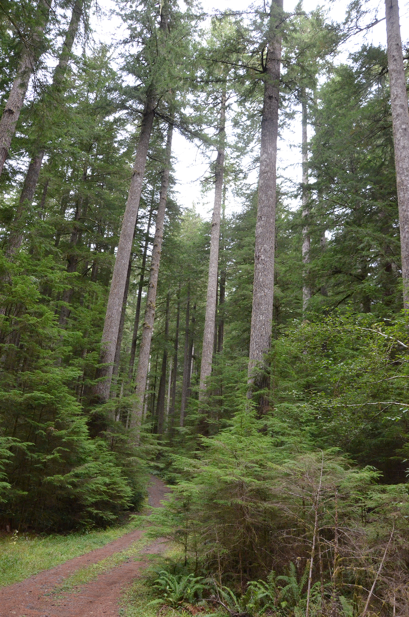
The other 40 acres here was acquired through a trade. So there's about 50 acres over here. It's been through a lot. That 50 acres of timber has been through many big windstorms, and it's still here. We're just getting here now.
Bob Zybach:
These trees are about 220 years old, the oldest ones?
Jerry Phillips:
It's a mixture, but yeah.
Amber Ross:
So this square [on map] is probably the 40 acres he's talking about.
Jerry Phillips:
So, of course, what's happening now is a plant succession. Young hemlock is coming in and some day if nothing gets done to it, it'll be virtually . . . it will appear to be a hemlock stand.
Bob Zybach:
Yeah. Well that's always the theory but have you ever actually seen hemlock succeed Douglas fir anywhere?
Jerry Phillips:
Yes I have. Smith River.
Bob Zybach:
Smith River? On just a natural basis?
p. 34 Jerry Phillips:
Yeah.
Bob Zybach:
An old growth fir stand converted to hemlock?
Jerry Phillips:
The fir just start falling down in there, that's the BLM land now, falling down and falling down and now it’s virtually entirely hemlock.
Bob Zybach:
I don't think I've ever seen anything like that. Maybe on the Olympic Peninsula.
Jerry Phillips:
That's the only place I can think of.
Bob Zybach:
Yeah. It's not very common.
Bob Zybach:
Well these trees could be about 250 years old or so. Does that sound right?
Jerry Phillips:
Yep.
Bob Zybach:
A lot of cat faces on some of them but is that from road building or old fire?
Jerry Phillips:
I'd say probably road building. This spur road was built by Weyerhaeuser to harvest Columbus Day blowdown trees from their timber in here. So when we acquired their 40 acres of timber here, we just inherited this road, and Dave Gould has done a little bit of maintenance on it too.
Bob Zybach:
David said he did maintenance on it and didn't even charge.
Jerry Phillips:
That's right.
Bob Zybach:
He just put it in there to get school kids in.
Amber Ross:
So this is the one sign that we left on the forest.
Bob Zybach:
How come you took all the signs down?
Amber Ross:
'Cause they were all ODF logos and ODF was no longer the manager, so.
Bob Zybach:
Wow.
Amber Ross:
And this one we just painted over the logo and left the other information.
Jerry Phillips:
Very true. So these trees that have some butt damage to them like this, it's a result of Weyerhaeuser’s landing . . . picking up through the blowdown in here.
p. 35 Bob Zybach:
Yeah. Almost all the trees on the left that were level with the road coming down are almost all scarred. They all got cat faces but some of ‘em look like they've been burnt too.
Amber Ross:
Yep.
Jerry Phillips:
Of course, they intended to come back and clearcut this if it had stayed in company hands.
Bob Zybach:
Amber how come you decided to leave this one sign here?
Amber Ross:
Because of the historical information.
Bob Zybach:
Have you ever heard it called the, "Jerry Phillip's Private Reserve" before?
Amber Ross:
No.
Jerry Phillips:
That's a joke! [28:30 Tape begins recording odd beeping noise]
Amber Ross:
And I think the sign had a really old logo on it, I think goes back to the 60's. So if you extrapolate the board feet and the value from then . . .
Bob Zybach:
Jerry, you've got all this understory here and it looks to me a lot of this came in because of the landing put in here.
Jerry Phillips:
Oh I'm sure some did.
Bob Zybach:
Yeah. What would be your recommendation on this? Should they just leave it, let it go and see what happens? Or should they cut the understory away to get rid of competition latter fuels?
Jerry Phillips:
There's no answer to that really.
Bob Zybach:
Just aesthetics?
Jerry Phillips:
You'd have to decide what is the goal? The goal of the landowner. That's true forestry in general.
Bob Zybach:
Yep.
Jerry Phillips:
Whoever the owner is they have a policy.
p. 36 Bob Zybach:
A lot of the landowners I've dealt with, I would ask them what their goal was and they were just mystified. They just thought you just planted it, and didn't know they had options.
Jerry Phillips:
I think you’re right!
Bob Zybach:
Amber what are the plans in through here? Are there any in particular?
Amber Ross:
No plans, I imagine. So the direction right now is to figure out what the new ownership might be.
Bob Zybach:
So ODF won't come back into the picture?
Amber Ross:
I don't know. I think they would but, I don’t know right now because we don’t know who that might be.
Bob Zybach:
Okay. Could this theoretically be cleared out just to emphasize the size and appearance of the older trees, or just kinda, no touch and see what happens?
Amber Ross:
That was up to ODF, and you can see what they have done.
Bob Zybach:
That's the reason right there, they just left them alone.
Amber Ross:
I came down here once in the summer and took that trail that goes to the headwaters.
Bob Zybach:
Yeah. I was gonna ask that question. If anybody built it, cause we're so close to the headwaters of Silver Creek. [28:30 Tape resumes odd beeping noise, conversation muffled]
Amber Ross:
Yeah.
Jerry Phillips:
Yeah, that’s the reason we have more old growth on the Forest, and mainly in the Mill Creek Canyon . . . but the thing is, it's all hidden by reseeded ground and it just isn't accessible, so that's why.
Bob Zybach:
That's what I was wondering, right here. Seems like the main reason we can't see it is because they built the landing, all the light came in, all the trees that came in, seemed like you could make it into a park because a couple guys and chainsaws in about four hours and it would just really . . .
Jerry Phillips:
There isn't any water here. The landlord always said don't spend one dollar on anything resembling recreation. You put in a garbage can or a picnic table, now you're stuck. One time I had a load of rock to dump on a real
p. 37 #A-14 2-A 35:08 Elk’s Peak Lookout
Stop #A-14 2-A 35:08 Elk’s Peak Lookout. No photos.
Jerry Phillips:
wide spot in the road, where elk hunters got stuck in the mud. They yelled at me, "Don't spend one nickel on recreation." The other 600,000 acre state timber land Astoria-Tillamook. Oh yeah! The recreation areas are developing there. But not here. Do not do it here. Every dollar of it belongs to schools.
Bob Zybach:
Is that the reason David had to come in here and haul free rock?
Jerry Phillips:
No one made him do it, he just likes to help.
Bob Zybach:
Yep. So they wouldn't have paid for it anyhow?
Jerry Phillips:
No. Certainly not!
Bob Zybach:
So he had the option of doing it for nothing, or . . .
Jerry Phillips:
We tried to always honor that. Kind of smiled a little bit when we got our first deliberate riparian zone of timber and stuff, but the Land Board didn't like that.
Bob Zybach:
Because?
Jerry Phillips:
Because it was their trees and Fish and Wildlife should pay them, for the riparian area, too. So, it is what it is. Then there's birds in here.
Bob Zybach:
You know what though, you don't hear ‘em too often.
Jerry Phillips:
There's a place at the mouth of Joe's Creek, I remember that I saw my first pileated woodpecker. I never before seen one, and oh there it was there . . .
Bob Zybach:
I've been around them, but I've never seen a spotted owl. And probably I've seen marbled murrelets, but I don’t know.
Jerry Phillips:
I had to laugh one time. One of them by Oak Ridge got run over by a train, I saw it on the railroad track, I guess.
Stop #A-14. 35:08 Elk’s Peak Lookout. No photos.
Bob Zybach:
Well, what's the next stop?
Jerry Phillips:
Well, now it's whatever you'd like to see.
Bob Zybach:
I think if we stay to the south and eastern boundaries then that'll line things up better for the next trip. We just kinda gotta stay to the outer boundary line so there'd be . . .
p. 38 Jerry Phillips:
So the next main choice would be the head of Elk Ridge.
Bob Zybach:
How about Elk’s Peak Lookout?
Jerry Phillips:
It's interesting how we use words. There are no peaks where we are. Peaks and mountains are big things. There's no peaks here. Elk Peak. Geographers hate apostrophe S. They just hate that. So it's not Dean's Creek, it's Dean Creek. That's just an example. There's certain mantras that they have. So Elk's Peak, it's not true. It's just a little mound.
Bob Zybach:
But they've actually had a structure there?
Jerry Phillips:
They did.
Bob Zybach:
Okay.
Amber Ross:
I don't think it's still there.
Bob Zybach:
But there'd be signs of it there.
Jerry Phillips:
Maybe a chance.
Amber Ross:
And that gate has a lock on it, so.
Bob Zybach:
Oh, that's the one you said . . . Okay. Okay. So we can't go there anyhow.
Jerry Phillips:
There’s nothing to see there.
Bob Zybach:
Well I'd just like to be on the spot where something's happened. "George Washington slept here." And there's probably archaeological remains. Do you know where they got their water for that? Is there a spring there or did they haul it?
Jerry Phillips:
It was through the Forest Service. The U.S. Forest Service. See it was used for looking north on to Siuslaw National Forest Land and then you come to the South and its private forest. Coos Fire Patrol never used it or maintained it.
Bob Zybach:
Is that one of the lookouts they used during the war?
Jerry Phillips:
No. They used Trail Butte. That was used during that time. The phone line and structure was on Trail Butte. Flags Peak. But Cougar Pass and Dean's Mountain are the two that are used most.
Bob Zybach:
Okay. So we're not going to Elk Peak Lookout, which is the ridge line or whatever.
p. 39 Tape 2-A End 2-A 50:32
Jerry Phillips:
Yeah. That's kind of a non- . . .
Bob Zybach:
How far away are we from Ash Valley? Are we still over the hill from that?
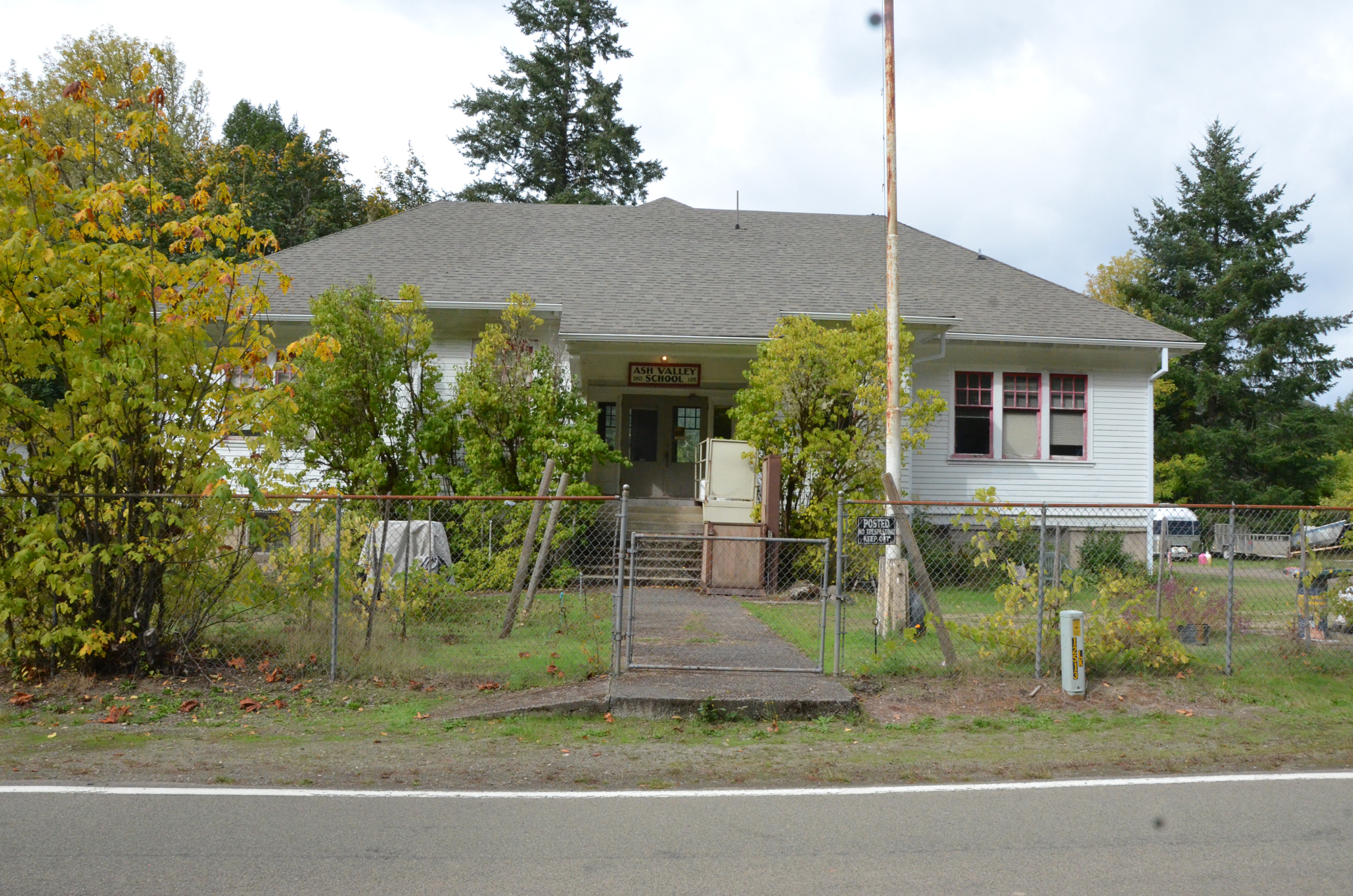
Jerry Phillips:
Yeah we are. We are heading right to it.
Bob Zybach:
What's the next thing we should be angling towards?
Jerry Phillips:
Well, the Elk Ridge Junction where the 9000 road is, then you have a choice: you go straight ahead to Ash Valley or turn left and go down Elk Creek. [39:32 Distant talking while consulting a map]
Bob Zybach:
[46:20] Jerry, do you know how some of these . . . I remember seeing a tree over here somewhere . . . It looks like a survey marker, but it has a large cat face, like about 8 or 10 feet up, would they have some kind of equipment in there or something?
Jerry Phillips:
. . . the hemlock might have killed it . . . [47:20 No sound]
Tape 2-A End. 50:32
p. 40 Tape 2-B. Interview with Jerry Phillips by Bob Zybach with Amber Ross and Randy Wiest while systematically touring the Elliott State Forest on October 10, 2017. Part 3. Indian Trail Spring to CCC Umpcoos Ridge Road
Jerry Phillips:
[Unintelligible]
Amber Ross:
Right. I'm used to it.
Jerry Phillips:
Does she have her seatbelt? You'll have to deal with it.
Jerry Phillips:
His dad was in Nebraska [?]. They have a little bit of Indian [?], but not too much. But his dad was . . . he called me 3 o'clock in the morning: “I’m out here on Larson Ridge, I got three flat tires, it's all your fault.” [laughter, tape beeping] and he lived with pain, most of his life. You can see down there. But we had to respect him, he did have some knowledge that I didn’t . . . [tape beeping]
Bob Zybach:
Are you talking about Glae?
Amber Ross:
Dave Gould.
Bob Zybach:
Are you talking about Glae Gould, or --
Jerry Phillips:
His son, Dave.
Bob Zybach:
Oh, oh.
Amber Ross:
Yeah, Dave still puts rock down.
Bob Zybach:
You get it?
Jerry Phillips:
Yeah there you go.
Bob Zybach:
Do you know Dave?
Amber Ross:
I've not met him, but I've seen his piles of rocks and potholes.
Bob Zybach:
Kind of interesting seeing these places after reading about them and putting them on a map, but not ever having . . . well I've been to this place once, but the other places we've been stopping at, haven't been there since the 60s.
Amber Ross:
Oh wow.
p. 41 #A-15 2-B 3:55 Indian Trail Spring
Stop #A-15 2-B 3:55 Indian Trail Spring. Photos (2): 0888; 0889
Bob Zybach:
Now, who'd you say, what group, the watershed council . . . is that who built the trail?
Amber Ross:
The Coos Watershed Association.
Bob Zybach:
Oh, the Watershed Association. Are they also a watershed council other than a state organization?
Amber Ross:
I'm not positive on that.
Jerry Phillips:
I'm not neither. It all came about after I retired, so --
Amber Ross:
I know that they wanted to do work on the Marlow Creek portion of the road.
Jerry Phillips:
They really liked that.
Amber Ross:
Yeah, they wanted to pave it. But it never went through.
Bob Zybach:
So they're more of a development kind of organization than a preservation?
Amber Ross:
No, they wanted to stop the sediment input into the stream, but there's so much log hauling [tape beeping] and that would allow hauling year-round [tape beeping].
Stop #A-15. 3:55 Indian Trail Spring. Photos (2): 0888; 0889
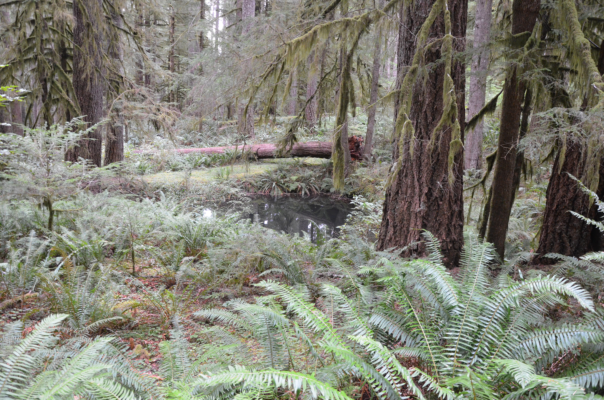
Bob Zybach:
There's a pool right there.
Randy Wiest:
That's interesting.
Amber Ross:
That's a water hole.
Jerry Phillips:
It is and see this, now right here, this is on the old Indian trail.
Bob Zybach:
Okay.
Jerry Phillips:
The old Indian trail came from Alleghany.
Bob Zybach:
So this would be a water source?
Jerry Phillips:
Yes.
Bob Zybach:
I'm gonna take [a photo of] that.
p. 42 Randy Wiest:
You have a good spot there? There's a better view . . .
Bob Zybach:
Uh huh. This spot, Randy?
Jerry Phillips:
See there's an old Indian trail on the Alleghany clear through to Ash Valley, and this is right on it right here.
Bob Zybach:
Ah-ha. That's the part that I'm interested in, that's why I'm interested in the springs.
Jerry Phillips:
Now we did a little bit of work here to tie into a water hole to provide for fire access, but it's always been there. [tape beeping] Probably some very thirsty Indians used that.
Randy Wiest:
I was going to say, that's pretty important.
Bob Zybach:
Jerry, that old roadbed, does that follow the Indian trail, pretty much?
Jerry Phillips:
It was never meant to. If it does, it's just because it's --
Bob Zybach:
Oh, it's just coincidental?
Jerry Phillips:
Yeah.
Bob Zybach:
Okay. When you get old, your hips and your knees go. So that's on the Indian trail from Alleghany to Scottsburg?
Amber Ross:
Ash Valley.
Jerry Phillips:
Yeah, to Ash Valley.
Bob Zybach:
Okay. Wow. And there's a water source right there.
Jerry Phillips:
Yep, there is.
Bob Zybach:
Okay. I'll be darned.
Amber Ross:
And then the Silver Creek's just --
Bob Zybach:
Uh huh. And the falls are just down below, aren't they?
Jerry Phillips:
Well, they --
Bob Zybach:
Silver and Golden Falls maybe a mile? Mile and a half?
Amber Ross:
Not positive.
p. 43 Jerry Phillips:
Well, it's on that side anyway.
Bob Zybach:
Uh huh. Oh, it's that way.
Jerry Phillips:
Yeah, Silver Creek has a lot of sources.
Bob Zybach:
Uh huh. Well, that would seem to be a potential archeological site right there.
Jerry Phillips:
I think it is.
Bob Zybach:
Right. Yeah, when you find another trail intersecting, that's pretty good. Pretty likely.
Jerry Phillips:
We did use a tractor, though, to improve it to be a fire water hole, so it's been disturbed a little bit. But it might still be.
Bob Zybach:
Why do you think it's an Indian trail?
Jerry Phillips:
Because it's a ridge top.
Bob Zybach:
Uh huh.
Jerry Phillips:
So it's a ridge top from Allegany to Ash Valley.
Bob Zybach:
Okay. But it wasn't like somebody told you that or anything. You just figured it out on your own?
Jerry Phillips:
It's in the . . . some history book that I read.
Bob Zybach:
Okay.
Jerry Phillips:
That was a trail starting at the mouth of Marlow Creek . . .
Bob Zybach:
Yep
Jerry Phillips:
. . . where the midden is, and it just went right up the ridge on the east side of Marlow Creek, went closer to here and back to Loon Lake . . . well to Ash Valley.
Bob Zybach:
Don't know why I'm ducking.
Jerry Phillips:
It makes total sense that's where it would be.
Amber Ross:
Natural reaction.
p. 44 #A-15 2-B 8:15 Jerry’s Memories of Stayton
Stop #A-15 2-B 8:15 Jerry’s Memories of Stayton. No photos.
Bob Zybach:
Yeah. Jerry, has there been anybody . . . has there been a botanist or ethnobotanist, anybody like that that's looked at the plants in the forest?
Jerry Phillips:
Not to my knowledge.
Amber Ross:
The tribes . . . the confederated tribes of Coos, Siuslaw, and Umpqua, they've always had a special use permit for gathering plants. And I have a whole list of plants that they have interest in.
Bob Zybach:
Ah-ha. But no specific locations?
Amber Ross:
I wouldn't say there's specific locations, but the tribes will probably tell you.
Bob Zybach:
Oh, okay. I did Indian trail research with the Coquilles south of here, about a million acres; with all this terrain, with all the ridgeline trails, that just fits right into that.
Amber Ross:
Wow, that'd be really neat.
Stop #A-15. 8:15 Jerry’s Memories of Stayton. No photos.
Jerry Phillips:
Amber, where is your home?
Amber Ross:
Stayton.
Jerry Phillips:
Stayton. Alright. You're a western Oregon girl.
Amber Ross:
Yep.
Jerry Phillips:
Alright.
Amber Ross:
Yeah, so I'm used to the trees and the rain. Did you need to move your seat up? I think you accidentally --
Jerry Phillips:
I did. I don't know how to do that.
Amber Ross:
There's a handle on the bottom right. Below you to your right. If you can find the lever.
Randy Wiest:
It should be right in the middle of the seat.
Jerry Phillips:
This one down here works.
Randy Wiest:
That will slide up.
p. 45 Amber Ross:
I think I got it.
Jerry Phillips:
Yep. That's what I was trying to do right there.
Randy Wiest:
Oh, gotcha.
Jerry Phillips:
I could never find that one.
Randy Wiest:
Every year they . . . pickups put them in a different spot.
Jerry Phillips:
Amber, Stayton was a road memory place for me.
Amber Ross:
Mm-hmm (affirmative).
Jerry Phillips:
30 years ago, on a little vacation trip, my wife and I went over to central Oregon . . .
Amber Ross:
Mm-hmm (affirmative).
Jerry Phillips:
. . . and we're on our way home, and up the street from Stayton . . . trying to think of that little town that's hardly even a town up the street from Stayton --
Amber Ross:
Lyons?
Jerry Phillips:
Yeah. I started feeling sick.
Amber Ross:
Oh no.
Jerry Phillips:
And I parked the car, got out, and I told my wife I was just going to walk around and get some fresh air. I'd be okay. And I never got back in.
Amber Ross:
Uh oh.
Jerry Phillips:
I started feeling more sick, and I lay down on the edge of the highway. This was on a Sunday afternoon, and that's the last thing I remember.
Amber Ross:
Oh geez!
Jerry Phillips:
I woke up in the hospital in Portland. As I lay down on the highway, the Lord God sent a couple of EMTs down the highway, and I'm sure my wife was standing there waving her arms frantically. And these two guys picked me up and took me to the hospital down in Stayton.
Jerry Phillips:
And the doctor down there, took a blood sample, and he said . . . see, I have no memory of this . . . and he said, "Well, you have amylase in his
p. 46 Jerry Phillips:
blood . . . is way too high and that's bad news. So put him back in the ambulance and take him to Providence Hospital in Portland." And that's where I woke up.
Amber Ross:
Oh my goodness!
Jerry Phillips:
I was in there in that hospital for two and a half months.
Amber Ross:
Whoa!
Jerry Phillips:
So I probably owe my life, probably, to that doctor in the Stayton hospital for recognizing that it was a very serious matter.
Amber Ross:
Yeah.
Jerry Phillips:
I had a pancreas infection that's called acute pancreatitis, and that can kill you real easy. But due to good medical care, I survived it.
Amber Ross:
Oh wow!
Jerry Phillips:
So whenever I hear the word "Stayton," it reminds me of that event.
Amber Ross:
I'm thankful that he helped you out.
Jerry Phillips:
Thank you for saying that. It's sure . . . important to my life.
Bob Zybach:
Did you go to high school in Stayton, too?
Amber Ross:
Yep.
Bob Zybach:
So you know Freres Lumber Company and all those people?
Amber Ross:
Mm-hmm (affirmative).
Jerry Phillips:
Freres and Frank.
Amber Ross:
Freres and Frank.
Bob Zybach:
How about you, Randy? Where'd you go to high school?
Randy Wiest:
Crescent Valley High School in Corvallis.
Bob Zybach:
Oh wow!
Randy Wiest:
Yep.
p. 47 #A-16 2-B 13:15 Big Saddle (1), Birds & Old Growth
Stop #A-16 2-B 13:15 Big Saddle (1), Birds & Old Growth. No photos.
Randy Wiest:
Grew up on the E.E. Wilson Wildlife Refuge.
Bob Zybach:
My youngest son went there for about three months.
Randy Wiest:
Oh, is that right?
Bob Zybach:
So we got all locals in here.
Amber Ross:
Yep. We're all [Willamette] Valley folk.
Randy Wiest:
I assume straight still?
Amber Ross:
Yep.
Stop #A-16. 13:15 Big Saddle (1), Birds & Old Growth. No photos.
Jerry Phillips:
Do we have anything right here, Jerry?
Jerry Phillips:
This is Big Saddle, and there really is nothing especially here.
Bob Zybach:
It's called Big Saddle, though? It's got a name?
Jerry Phillips:
Big Saddle, that's right. And then there's a half square mile of North Fork [?] timber to the right.
Bob Zybach:
So --
Jerry Phillips:
We logged the whole half section.
Bob Zybach:
Uh huh.
Jerry Phillips:
And they were ready to do it again a year or two ago . . .
Bob Zybach:
Yup.
Jerry Phillips:
. . . until they found a bird in there.
Bob Zybach:
Ah-ha!
Jerry Phillips:
So one bird there, and it never happened. Half section of --
Bob Zybach:
320 acres. Wow.
Amber Ross:
Cougar Creek. That's the 2300 road.
Randy Wiest:
That one right there?
p. 48 Amber Ross:
Yep.
Bob Zybach:
How many birds are in the forest? Do you know?
Jerry Phillips:
How many birds. I like it.
Bob Zybach:
I mean how many birds that affect --
Amber Ross:
Of concern?
Bob Zybach:
Yeah.
Amber Ross:
The murrelet and the spotted owl.
Jerry Phillips:
Just those two.
Bob Zybach:
Yeah, I know the two species, but how many actual birds?
Amber Ross:
Oh, I have no idea.
Bob Zybach:
Uh huh.
Jerry Phillips:
And no one does.
Bob Zybach:
I don't think they've ever actually found a murrelet nest or anything have they?
Jerry Phillips:
It's called occupying behavior.
Bob Zybach:
Yeah.
Jerry Phillips:
See, they go out there at dawn or dusk, one of the two, and they observe a bird flying 100 miles an hour through the treetops, and they call that occupying behavior. Then that goes on a map.
Amber Ross:
Have you seen a mile marker in awhile, Randy?
Randy Wiest:
I have. I didn't pay attention to what it was.
Amber Ross:
I was just curious.
Randy Wiest:
I'll let you know when I see one.
Bob Zybach:
How are we doing on time?
Amber Ross:
It's 11:30, so I would say 2 hours, and we'll make the exit plan.
p. 49 Bob Zybach:
Okay. That sounds good.
Amber Ross:
And if we're going to be on Loon Lake Road, then we'll probably take the highway back, so we'll go through Reedsport back to Coos Bay.
Bob Zybach:
That's probably the quickest depending on where we end up. Don't you? We're making pretty good time.
Amber Ross:
Yeah.
Jerry Phillips:
This is the head of Elk Creek right here.
Bob Zybach:
This draw right down here on the left?
Jerry Phillips:
Yeah.
Bob Zybach:
Okay.
Jerry Phillips:
This timber on the left, we always thought was so beautiful we didn't want log it. And now, you can't.
Bob Zybach:
Yeah, it's a nice stand.
Jerry Phillips:
There's about 100 acres of beautiful third growth.
Bob Zybach:
Where do we go?
Jerry Phillips:
To the right.
Bob Zybach:
To the right.
Amber Ross:
To the right. And that's the 9000 there?
Jerry Phillips:
This is one of those especially wonderful stands of high value fir there.
Bob Zybach:
Wow. That road that went off to the left, what was that?
Jerry Phillips:
The tail of Elk Creek Road.
Amber Ross:
9000.
Jerry Phillips:
Elk Creek Road.
Bob Zybach:
Does it go anyplace in particular?
Jerry Phillips:
Pardon?
p. 50 Bob Zybach:
Does it go anyplace in particular?
Jerry Phillips:
Down to the West Fork, down to the river.
Bob Zybach:
So it connects up to the . . . I can't remember the number . . . but it connects up to the main road.
Jerry Phillips:
Connects to everything else.
Bob Zybach:
Okay.
Amber Ross:
2000.
Bob Zybach:
So we'll be heading there on the other side . . . on another section.
Jerry Phillips:
Yes.
Amber Ross:
The 9000 follows Elk Creek, runs into the 8000, which is the West Fork.
Bob Zybach:
One of the problems I have with the book is it just gives the names of everything, but it doesn't always . . . doesn't always have the legal description or I could track it out real quick or work it with the actual map.
Bob Zybach:
Jerry, has there been a biologist that has operated here in the last 20 or 30 years that you know of that helped with deer or elk or coho or eels or whether riparian or upland animals? Who'd be the person to talk to?
Jerry Phillips:
You know, I really know the answer to that. Roger Johnson might know.
Bob Zybach:
Roger Johnson? And that's the person you said to talk to about reforestation?
Jerry Phillips:
Well, he's the only employee out here now.
Bob Zybach:
Uh huh.
Jerry Phillips:
And I'm not even sure who it is who he works for.
Bob Zybach:
Uh huh.
Amber Ross:
He works for the contractor Titan-Kelly.
Jerry Phillips:
Okay. So whatever's happening out here, he's involved in it.
Bob Zybach:
Is this Elliott land here on the right here or is this Weyerhaeuser?
p. 51 Amber Ross:
It's private.
Bob Zybach:
Uh huh.
Amber Ross:
Randy Smith is the biologist.
Bob Zybach:
Oh, okay. So he'd be the person to talk to? And who's he work for?
Amber Ross:
I think he's still . . . I don't know if he's ODFW or ODF, but he's the regional biologist.
Jerry Phillips:
Everything in the distance here is Weyerhaeuser.
Bob Zybach:
Wow.
Amber Ross:
They are aggressive.
Bob Zybach:
Yep.
Jerry Phillips:
They're doing just what their habitat conservation plan says they should do.
Amber Ross:
Is that right?
Jerry Phillips:
It demands that they clearcut to provide elk habitat.
Amber Ross:
Oh. Isn't that interesting.
Bob Zybach:
Would you say the name of the biologist again?
Amber Ross:
Randy Smith.
Bob Zybach:
Okay. That's what I thought. Oh wait. I've got the wrong Randy here. Are you familiar with the Weyerhaeuser growth and yield study they did in 1945?
Amber Ross:
Hm-mmm (negative).
Bob Zybach:
They did the whole Millicoma tract, and that was all old growth just like what we were first examining and they measured trees all the way across and measured their age, their species, location, disease.
Bob Zybach:
Jerry, that is one thing I wanted to talk about, too. In your book you mentioned that as the trees get increasingly older, they become more susceptible to bugs and disease, rot and that type of thing, deterioration.
p. 52 Bob Zybach:
And then you also had some diameters, approximate. So when you're . . . are we . . . we're near-
Amber Ross:
Yeah, we're on state-owned land again.
Bob Zybach:
Is there anything here particular, Jerry?
Jerry Phillips:
No, not really.
Bob Zybach:
When you got the diameters, like we're looking at those trees down there, some of them are pushing five foot maybe at the most or four foot . . .
Jerry Phillips:
Yep.
Bob Zybach:
. . . and they're about 250 years old. When you were looking at snags and that, because you were looking at the ages of the trees, you've got those all through your book, but when you were looking at snags, could you tell approximately where the old growth was that burned and could you tell approximately how old those trees were that were . . .
Jerry Phillips:
Yeah.
Bob Zybach:
. . . were burnt up?
Jerry Phillips:
I recall doing several ring counts on a tree, age about 330.
Bob Zybach:
330?
Jerry Phillips:
Mm-hmm (affirmative)
Bob Zybach:
Wow! Okay. So those are the largest trees. Are those like five and six foot in diameter maybe?
Jerry Phillips:
Yeah. Mm-hmm (affirmative)
Bob Zybach:
And then --
Jerry Phillips:
Close to . . . probably closer to five.
Bob Zybach:
What portion of the forest did those cover?
Jerry Phillips:
Oh, the northern 90%.
Bob Zybach:
90% were 330-year-old trees that burned up in the 1868 fire?
Jerry Phillips:
Well, yeah, approximately.
p. 53 Bob Zybach:
Wow!
Jerry Phillips:
Approximately.
Bob Zybach:
So the reason that Weyerhaeuser’s didn't burn again is they were the young ones. They probably weren’t flammable.
Jerry Phillips:
That's right.
Bob Zybach:
Oh. Wow.
Jerry Phillips:
And then on the western edge, what that fire did is it ran into hemlock and spruce stands.
Bob Zybach:
Yep.
Jerry Phillips:
And they don't like to burn.
Bob Zybach:
Were they a similar age?
Jerry Phillips:
I don't know that, but quite possibly.
Bob Zybach:
Ah-ha.
Jerry Phillips:
They don't burn very well.
Bob Zybach:
I didn't realize the stand was that old when it burned. I think you got it in the notes on the map you gave me years ago, but I didn't recall that.
Jerry Phillips:
When we started the work on the forest here . . .
Bob Zybach:
Uh huh.
Jerry Phillips:
It was full of snags.
Bob Zybach:
Yeah.
Jerry Phillips:
The Knife Creek, Knife Ridge, timber sale, was one of our high quality timber sales. When they got through, the company, that was Elkside, decided to pay their fallers and buckers based on tree measurements, on square feet of wood they cut. And they had a higher total of snag volume than live trees on Knife Ridge.
Bob Zybach:
And it was still merchantable?
p. 54 Jerry Phillips:
No. No, those were all dead. Those were all old, rotten trees. But now they're all gone.
Bob Zybach:
So they weren't cutting them; they were just cruising them?
Jerry Phillips:
Oh, they're were cutting them because they were required by law.
Bob Zybach:
Oh, okay.
Jerry Phillips:
But just showing, over time, all snags will fall.
Bob Zybach:
Yeah.
Jerry Phillips:
The last ones to fall will be a red cedar. But, fir after . . . well, at that time, it would have been --
Bob Zybach:
130 years.
Jerry Phillips:
Yeah, about that. Of course, they were just all over the place, and then suddenly they were all gone.
Bob Zybach:
Wow.
Jerry Phillips:
Well, you can still see one or two. But no longer is . . . fortunately, a stand of snags.
Bob Zybach:
Uh huh.
Bob Zybach:
If the snags that were remaining from the 1868 fire, and a lot of them 90, 100, 120 years . . .
Jerry Phillips:
Yep.
Bob Zybach:
. . . and you could still see stobs and things, how about the Weyerhaeuser Millicoma tract? When that burned in 1750 or 1780. Was there any evidence of an older stand there? Any snags seen at the --
Jerry Phillips:
I don't really know that. I shouldn't even venture to guess.
Bob Zybach:
Uh huh. It looks like one of the areas in the Coast Range afforested after about 1500. Was there any evidence of trees there before?
Jerry Phillips:
I really think at one time the oldest trees that we saw were, mostly along Glenn Creek, would have been . . . started around 1440.
Bob Zybach:
Wow.
p. 55 #A-17 2-B 27:01 Elk’s Peak Landslides
Stop #A-17 2-B 27:01 Elk’s Peak Landslides. No photos.
Jerry Phillips:
That's just a wild guess.
Bob Zybach:
Yep.
Jerry Phillips:
But if it's a standing tree . . . you're going to do some real estimation in trying to figure ages. There's a system of calculating of ages, but it's just a system.
Bob Zybach:
Yep. It's pretty variable.
Jerry Phillips:
You're assuming "what if" when you do that. Then you gotta get in with almost a microscope if it's a . . . once they're cut down . And there you're looking at some very, very fine grain.
Bob Zybach:
Well, Weyerhaeuser aged their oldest trees in their inventory at about 380 years, and they were highly defective at that age. But that would have been the 1940s. When did they finish logging that, the 1980s?
Jerry Phillips:
Yep. About the end of the 80s.
Bob Zybach:
So, is it possible that some of those trees reached over 400 years of age?
Jerry Phillips:
Oh yes, I think so . . . in what they call the Pillsbury Tract.
Bob Zybach:
Yep.
Jerry Phillips:
Weyerhaeuser ran that in the southeast part of the forest. That was where the oldest stuff was.
Bob Zybach:
I think that's where they had the most defect, and they had lots of burns there, too.
Jerry Phillips:
Yes, yes it is, yes it is.
Bob Zybach:
Lots of burned spots there with just a . . .
Stop #A-17. 27:01 Elk’s Peak Landslides. No photos.
Jerry Phillips:
I had several of these little 40-acre parcels of State Land Board land if you go back in where those trees are.
Bob Zybach:
Uh huh.
Jerry Phillips:
So I spent some time back there trying to find them . . . for land exchange. We got them all exchanged, all traded up.
p. 56 Bob Zybach:
I'm seeing some old landslides off to the left here with alder in them. Is that a pretty typical pattern for the landslides?
Jerry Phillips:
Yeah. They tend to come back to alder.
Amber Ross:
A lot of time, you'll see alders establish in a drainage or the ditch. If the ditch fills in with soil, they'll establish there.
Bob Zybach:
They're pretty aggressive.
Amber Ross:
Yes, very seriously so.
Bob Zybach:
Jerry, there's a 1962 or 61, right before the Columbus Day storm, we had real heavy rains, and you reported quite a few landslides. They were all in green timber. Have you seen any relationship between clear cutting and subsequent landslides?
Jerry Phillips:
It's mainly if you're road building.
Bob Zybach:
Road building. So that --
Jerry Phillips:
All of our original roads . . . let's say almost 500 miles of roads were built in the old cut and fill system. Where you have Point A where it's going to start and Point B where it's going to end.
Jerry Phillips:
What was that?
Amber Ross:
I think that was the Elk.
Bob Zybach:
Was that the intersection back there?
Bob Zybach:
This looks like a commercial thin off to the left or maybe a pre- commercial thin.
Jerry Phillips:
Oh yeah. Virtually all stands that were accessible have been thinned.
Bob Zybach:
And you had some of them pruned. I was interested in that.
Jerry Phillips:
Well, that's only a few acres.
Bob Zybach:
Okay.
Jerry Phillips:
But a . . .
Bob Zybach:
So is --
p. 57 Amber Ross:
Yep. So that's the road that goes up to Elk Peak, but there's a gate.
Bob Zybach:
It's gated.
Amber Ross:
Right there.
Bob Zybach:
Okay. There's a gate on that. And you don't know where the water source is to this, Jerry, to this lookout?
Jerry Phillips:
This Cougar Pass?
Amber Ross:
No, Elk Peak.
Bob Zybach:
Elk Peak.
Jerry Phillips:
Elk Peak. No, we never knew where it was.
Bob Zybach:
Oh, okay.
Jerry Phillips:
We never . . . probably the people who lived down in Glenn Creek, they probably knew where because they had . . . whoever was occupying the lookout then, they communicated back and forth. There were orchards in Glenn Creek, and they would pick apples and --
Bob Zybach:
So this would be in the 20s and 30s?
Jerry Phillips:
Yeah.
Bob Zybach:
Okay.
Jerry Phillips:
They referred to them as Mister Elk's Peak.
Bob Zybach:
Ah-ha.
Jerry Phillips:
And they had a phone line way up there. Mister Elk's Peak.
Bob Zybach:
Who was that?
Jerry Phillips:
I don't know. It’s in the book Lionel Youst wrote "Above the Falls." Good book.
Bob Zybach:
Ah-ha.
Jerry Phillips:
Good book.
p. 58 Bob Zybach:
I was interested in talking to him about that because most of that's up above the falls, Glenn Creek area. Does any of that intersect with the Elliott? Is it any of his book or is it all pretty much Weyerhaeuser land?
Jerry Phillips:
Pretty much all Weyerhaeuser land.
Bob Zybach:
That's what I was thinking.
Jerry Phillips:
Yep. The point is we thinned 15,000 acres around here. So --
Bob Zybach:
Where's that 15,000 acres at?
Jerry Phillips:
Well, it's everywhere.
Bob Zybach:
I mean are we going through it?
Jerry Phillips:
Oh yeah.
Bob Zybach:
Okay. So . . . and you said there's 12,000 acres left when you wrote your book, so this the 15,000 acres that was commercially thinned, the stand management.
Jerry Phillips:
Virtually everywhere. Yep.
Bob Zybach:
Everywhere we're going through it?
Jerry Phillips:
Yep.
Bob Zybach:
Oh, okay. That's what I was wondering. It is looking so open and well spaced.
Jerry Phillips:
In 1975, the folks in our Salem office decided that we were doing a little too much damage to the residual trees, of course, because if you're cable thinning and you're yarding up through steep slopes . . . yarding up through trees that you're leaving, and, of course, you're knocking the bark off some of those trees. So they said, "it’s time to stop." So ‘75 was the end of our thinnings.
Bob Zybach:
Uh huh. But that was along this ridgeline here.
Jerry Phillips:
It wasn't just that. It was everywhere. Everywhere that made sense to . . . we were taking out 10,000 [board feet] to the acre and getting the same prices you would for a clearcut.
Bob Zybach:
Is this road here still the 1000?
p. 59 Amber Ross:
Yes.
Bob Zybach:
Is it still called the Marlow Creek Road?
Amber Ross:
No, this is Elk Ridge.
Bob Zybach:
Elk Ridge Road?
Jerry Phillips:
Yep.
Bob Zybach:
Okay. And when did we hit this, at the intersection back there?
Amber Ross:
It's all the 1000 road.
Amber Ross:
The way this is labeled, the whole thing's labeled Elk Ridge.
Bob Zybach:
Okay.
Amber Ross:
But the littler portion is referred to as Marlow Creek Road.
Bob Zybach:
Oh, okay. That's the trouble with historical documents. You read it and they say it's Marlow Creek or Elk Ridge and you go there and it's 1000 or 9000, and there's no way to . . .
Jerry Phillips:
Well, we had a lot of roads signs, but they've all been stolen or destroyed.
Bob Zybach:
I've been noticing there have been quite a few spurs off the left and right. When you say there's 500 miles that you guys built, does that include those spur roads that have been abandoned?
Jerry Phillips:
Except, well, little stub spurs.
Bob Zybach:
Now where's this go?
Randy Wiest:
1800 road there.
Amber Ross:
1800. That will connect you into the interior. So it's going to go this way.
Bob Zybach:
So it's kind of like the other one there with the earlier one, right, that connected?
Amber Ross:
It's going to connect to the 9500, so I'll show you . . . you wanted to turn at the 9000? So here's the 9000 here.
Bob Zybach:
Yeah.
p. 60 #A-17 2-B 35:28 Umpcoos Ridge CCC Road
Stop #A-17 2-B 35:28 Umpcoos Ridge CCC Road. No photos.
Amber Ross:
It's going to follow Elk Creek.
Bob Zybach:
Oh, and this goes up to Gould's Lake and everything?
Amber Ross:
And then it runs into the 8000 that goes the opposite direction, which is the West Fork Millicoma.
Bob Zybach:
Well, I'm going to go there with Gould, so we want to keep going this way, right?
Amber Ross:
Yeah. We are . . . we're going to exit here. So we're somewhere in here.
Bob Zybach:
Oh okay. Okay. So this is the road . . . which road?
Amber Ross:
We're looking at the 1800, which is just a small spur, but it would connect us up here.
Bob Zybach:
Okay. And that looks like a sale or something. Is that why that's --
Amber Ross:
Yeah.
Bob Zybach:
So this . . . we're going out this way.
Amber Ross:
We're going to follow this.
Bob Zybach:
Is there anything at this intersection you can think of, Jerry, or anything down this road here?
Jerry Phillips:
I really don't.
Bob Zybach:
Okay. We're looking at a lot of tree farm land.
Jerry Phillips:
Mm-hmm (affirmative). Yeah. A lot of this is growth that came back right after a logging.
Bob Zybach:
Ah-ha. So the Elk Ridge Road. Was that built the same time as the Marlow Creek Road? Was this part of the original old growth sales?
Stop #A-17. 35:28 Umpcoos Ridge CCC Road. No photos.
Jerry Phillips:
Once you get back into here at a certain point then you're on the road that the CCs built.
Bob Zybach:
Oh, okay. So when . . . will you know when we hit the 3-Cs road?
Jerry Phillips:
We may be on it now.
p. 61 Bob Zybach:
Oh okay.
Jerry Phillips:
They had a camp down in Glenn Creek, and they built four miles of road. And then they moved the camp up to Scholfield.
Bob Zybach:
There it is. I have a 3-Cs thing I brought for you too, Jerry. This is Camp Arboretum.
Jerry Phillips:
Oh okay.
Bob Zybach:
You know when it was the State Nursery.
Jerry Phillips:
Oh yeah.
Randy Wiest:
I know Camp Arboretum really well.
Bob Zybach:
Ah-hah. It’s called Peavy now.
Jerry Phillips:
That's right.
Bob Zybach:
A lot of similar work to what we're doing right here when I was going to Oregon State, and that was one of my projects was that trifold there for Camp Arboretum. I interviewed a guy named Sekermestrovich who was in the 3-Cs in the mid-30s.
Jerry Phillips:
Thank you.
Bob Zybach:
You can have it if you want.
Jerry Phillips:
Okay.
Bob Zybach:
I've got more.
Jerry Phillips:
I marvel that there were these CC camps everywhere, and these guys, they were young, young kids, mostly like 18 to 20. Although, some of them were called experienced woods workers, they paid them a little more. But most of them were young kids.
Jerry Phillips:
They were out here. They adopted a promise to themselves that they were not going to lose one one day's work due to weather because they were going to work six days a week. They were not going to lose one day due to weather, and they followed that promise.
Randy Wiest:
I'll be darned.
p. 62 Jerry Phillips:
And they never wore hardhats, they had no hardhats, and the tractors had no canopies on them. And they used explosives all the time, and yet they never killed a single man. Isn't that amazing?
Bob Zybach:
Yeah.
Amber Ross:
That's incredible.
Bob Zybach:
What was the reason they were building this road here?
Jerry Phillips:
Well, the plan was to build a road from . . .
Randy Wiest:
1840 something.
Jerry Phillips:
. . . from the south end of Ash Valley through to Scholfield Creek up by Reedsport.
Randy Wiest:
8000.
Amber Ross:
You got about a mile and a half to the 1850.
Randy Wiest:
1850. I'm taking that?
Amber Ross:
Yep.
Jerry Phillips:
So this is just part of that plan.
Bob Zybach:
Ah-ha!
Jerry Phillips:
Follow the main . . . it's also the county line between Coos and Douglas County.
Bob Zybach:
Was their purpose just to open up access for . . . was it --
Jerry Phillips:
For fire.
Bob Zybach:
For fire, okay. So the lookouts and the roads were --
Jerry Phillips:
And the phone lines.
Bob Zybach:
Were all focused on fire.
Jerry Phillips:
Right.
Bob Zybach:
Okay.
p. 63 Jerry Phillips:
We're supposed to have benefited people, so it wasn't like trying to connect remote farms or to help individuals. It was purely for fire protection.
Jerry Phillips:
This was considered the most difficult road building in the entire state of Oregon at the time because a lot of it did involve blasting rock.
Jerry Phillips:
And we have changed only maybe a total of a mile of all that work . . . changed a little bit of alignment . . . maybe a mile altogether.
Bob Zybach:
So this is all 3-C alignment?
Jerry Phillips:
Most of it is. They built 28 miles of roads, of course, all dirt. Well, dirt and --
Bob Zybach:
Was this dirt when you took it over in 55?
Jerry Phillips:
It was.
Bob Zybach:
Okay. So when'd they rock it? When they started doing the sales in the late 50s?
Jerry Phillips:
Well, we spread the rock then because otherwise you'd never sell mud holes. You'd get totally stuck when you're driving. So we had to make little mud holes passable.
Bob Zybach:
Do I have a packet up there with the map on it and all of the building sites on it? Or was that put somewhere else maybe?
Amber Ross:
We had it right here.
Bob Zybach:
I was probably looking right at it. There's probably. . . there was two of these. One . . . this one had the names. The other one had the roads on it. Yeah.
Amber Ross:
I haven't seen that in a bit.
Bob Zybach:
I can't imagine taking it outside and leaving it on the tailgate or anything.
Jerry Phillips:
Our first manager here . . . who was here for the first seven years was unhappy because he wanted to be a forest manager, but it was really young timber. So he spent all of his time dealing with the old growth, how to get rid of it. That's what the Board policy was.
p. 64 Jerry Phillips:
He said it's more of an engineering job. You're trying to move X number of tons of wood from one place to another. It wasn't . . . you weren't managing anything.
Amber Ross:
This doesn't look right. This is going to be --
Bob Zybach:
Stop, here, just a second. So, Jerry, this intersection here, is this both CC’s going both ways here?
Jerry Phillips:
Actually, I don't know where we are right now.
Bob Zybach:
Oh okay. Let's find out.
Amber Ross:
This is the 1850 road. To the right is going to take us down to the county road.
Bob Zybach:
So this is the connector to the county road to the right? And to the left?
Amber Ross:
Is the 1000, Elk Ridge.
Bob Zybach:
So that's Elk Ridge.
Jerry Phillips:
Well, we call it the Umpcoos Ridge. It separates the Umpqua River watershed and Coos River watershed.
Bob Zybach:
So that's the one we just come across?
Jerry Phillips:
Just entering it here now.
Bob Zybach:
Oh. This is where it comes in.
Jerry Phillips:
Ump-Coos. That's what Weyerhaeuser calls it also.
Bob Zybach:
And that's what the 3-Cs called it.
Jerry Phillips:
Probably.
Bob Zybach:
Yeah. I think they had Umpcoos Road. So this is it that we're coming in to right now.
Amber Ross:
Umpcoos Ridge is labeled as the 7000. And then Elk Ridge so . . .
Jerry Phillips:
The 1000 then drops down into Ash Valley.
Amber Ross:
Yeah.
p. 65 Bob Zybach:
Okay.
Amber Ross:
And the 1850 hits Ash Valley before the 1000 road does. So we're here.
Bob Zybach:
Ah-ha.
Amber Ross:
So, yeah. Jerry's right. The 7000 takes off just in front of us a little bit.
Bob Zybach:
Okay.
Amber Ross:
And that's the Umpcoos Ridge.
Bob Zybach:
Oh, okay. And that's the one that follows the county line there?
Amber Ross:
Yes.
Bob Zybach:
Okay. Well, that's the Umpcoos Ridge Road, they put that in out of nowhere basically. Well, that was an old Indian trail as well. So they were just following that in the 30s.
Jerry Phillips:
I'm sure very few Indians ever went on that.
Bob Zybach:
I don't think very many --
Jerry Phillips:
They'd have no reason to.
Bob Zybach:
Well, except it's the shortest route between Allegany and Loon Lake.
Jerry Phillips:
Well, that's to this right here.
Bob Zybach:
Yep.
Jerry Phillips:
I think-
Bob Zybach:
You mean to this point?
Jerry Phillips:
This way. They would have had no reason to use that.
Bob Zybach:
Up to the Umpqua-
Jerry Phillips:
It was around Cougar Pass.
Bob Zybach:
Yep.
Jerry Phillips:
Over Dean's Mountain and on down.
p. 66 Bob Zybach:
Yeah. So would this would connect with that, wouldn't it?
Jerry Phillips:
It would, yeah. It does.
Bob Zybach:
Okay.
Jerry Phillips:
It's a main watershed divide.
Bob Zybach:
Okay. So this is the Umpqua, Coos, just right --
Jerry Phillips:
Well, yeah.
Bob Zybach:
Okay.
Jerry Phillips:
Well, of course, everything we see here is Umpqua watershed.
Bob Zybach:
Okay.
Jerry Phillips:
Everything here.
Bob Zybach:
Okay. But the Coos watershed-
Jerry Phillips:
That's all that.
Bob Zybach:
That way? Yep. Okay.
Jerry Phillips:
See, if you went down here and then just keep going to the right, you're going over to Golden and Silver Falls.
Bob Zybach:
Oh, so that comes up from Glenn Creek. That's --
Jerry Phillips:
Yeah.
Bob Zybach:
Okay. Got it. Randy, are you totally lost?
Randy Wiest:
I'm just, yeah. I'm just getting my bearings.
Amber Ross:
You're going to head towards Loon Lake. We are exiting the eastern edge of the forest.
Randy Wiest:
We're still in Oregon, right?
Amber Ross:
We're still surrounded by Common School Fund land.
Jerry Phillips:
That's right.
p. 67 Tape 2-B End 2-B 47:33
Randy Wiest:
Blue dirt or pink dirt, based on the map.
Bob Zybach:
First scotch broom I've seen since we've been . . .
Randy Wiest:
Yeah, there's a bunch of it right in there. First I've seen it.
Jerry Phillips:
Well, we tried to get rid of it.
Randy Wiest:
Yeah.
Jerry Phillips:
You can't.
Randy Wiest:
It's a tough thing to get rid of.
Jerry Phillips:
Roger Johnson would echo that.
Jerry Phillips:
Now see everything over here on the left was part of this big 1945 Land Board sale.
Bob Zybach:
Okay. That's another interesting area. So this on the left is the 1945 sale.
Jerry Phillips:
About 1,000 acres that was sold by the Land Board. They sold all the old growth fir, and left all the third-growth fir standing and any hemlock. But never marked the boundary. There was no boundaries marked, no permanent rights of way acquired, no reforestation. It was all just kind of a no, no, no, no.
Jerry Phillips:
This . . . prior to management, it was about the end of World War II and the old logs, the old growth logs . . .
Tape 2-B End. 47:33
p. 68 Tape 3-A. Interview with Jerry Phillips by Bob Zybach, with Amber Ross and Randy Wiest while touring the Elliott State Forest on October 10, 2017. Part 4. 1945 Logging Sale to Ash Valley School
Jerry Phillips:
And whoever lucked out by being the . . . he had the easy job because this round, you can actually walk around on it.
Randy Wiest:
Pretty much.
Jerry Phillips:
The other two are very steep.
Randy Wiest:
Very good job.
Bob Zybach:
Ready to roll?
Randy Wiest:
Yep.
Bob Zybach:
Okay.
Jerry Phillips:
This is Howell Creek over here.
Bob Zybach:
Are we still on state land or are we down in the county land?
Jerry Phillips:
You're still on state land.
Amber Ross:
We are on state land.
Bob Zybach:
Oh, okay.
Amber Ross:
Another mile or so out in this direction and we’ll hit the county road.
Jerry Phillips:
The county has the land.
Bob Zybach:
A ha.
Amber Ross:
And then this is the common road, so it will dip out, and come back in and out. 44th street is out at the bottom, when you get to the county road.
Bob Zybach:
Hope I didn't lose that or leave it behind somewhere.
Amber Ross:
It'll turn up. Trips like this, you always lose something.
Jerry Phillips:
It's really ironic that we hire all of the best timber . . . [Tape blank from 01:08 until 01:28]
p. 69 #A-18 3-A 2:23 The 1850 Road to Ash Valley
Stop #A-18 3-A 2:23 The 1850 Road to Ash Valley. No photos.
Jerry Phillips:
. . . timber sales. Can't just be where you want to have a road.
Bob Zybach:
So the 3-C roads, those are basically connecting up the lookouts.
Jerry Phillips:
Pretty much. Now the people who planned the forest, from the Forest Service, they had two lookouts. They had Dean’s Mountain and Elk’s Peak. And they, after they built this road here, then they built Cougar Pass.
Bob Zybach:
The 3-C's?
Jerry Phillips:
Yep. They built it.
Bob Zybach:
Cougar Pass, the road up to . . . Well, they didn't build the road up to Elk’s Peak, right?
Amber Ross:
We're gonna go left.
Jerry Phillips:
No. That was built by the Fire Patrol.
Amber Ross:
Left.
Randy Wiest:
Okay.
Stop #A-18. 2:23 The 1850 Road to Ash Valley. No photos.
Bob Zybach:
Is this state land out here, that we're looking at, these clearcuts?
Amber Ross:
Right now, immediately in front of us, yes.
Bob Zybach:
Scotch broom.
Amber Ross:
Yeah, it seems to be on this side of the forest.
Jerry Phillips:
Yeah.
Bob Zybach:
That, and along with the beer cans.
Amber Ross:
Yep. This is heavily traveled road.
Bob Zybach:
Well, there's still some fairly big recent clearcuts on state land there. There's hardly expected.
Amber Ross:
Yeah, they were selling land last year. They're selling trees to harvest.
Jerry Phillips:
After they surveyed for birds!
p. 70 Amber Ross:
Right.
Jerry Phillips:
All of these, all this stuff here, these are all stands that we've established.
Bob Zybach:
And those are ones, we've been going through thinned stands again, haven't we? What you call SM [Stand Management] stands?
Jerry Phillips:
And then, this was all clearcut stuff.
Randy Wiest:
There’s a lot of Scotch broom here.
Bob Zybach:
The best biological control for Scotch broom is Douglas fir.
Jerry Phillips:
It works.
Bob Zybach:
It does. It's effective.
Jerry Phillips:
But, when the seeds are still in the ground, and a hundred years later when you log next time, they're gonna come up again.
Bob Zybach:
Yep.
Amber Ross:
This is private here. We're gonna be on private for a bit. Then back into state.
Bob Zybach:
This looks like Weyerhaeuser.
Amber Ross:
Yep.
Bob Zybach:
Well, one of the things, Jerry, you said in your book, was that a couple of the stands that you tried to regenerate, you had problems with. And then it turned out to be just fine as a diverse habitat, or something.
Jerry Phillips:
Well, there were some. By the time we finally figured out how to be successful, and do forestry on the west side of the forest over there, they were growing back to alder, and the decision was made to just go ahead and grow it to be commercial -- alder being at that time to have value to it, just to let it grow out and convert species next time.
Jerry Phillips:
Those are all judgment calls, 'cause you're planning for several decades ahead.
Amber Ross:
This is Common School Fund, and then very soon we'll be back in a private forest.
Bob Zybach:
Is this School Fund or private?
p. 71 Amber Ross:
Nope. We're on private now.
Bob Zybach:
Okay.
Amber Ross:
We have left the Elliott State Forest.
Bob Zybach:
That doesn't look like Weyerhaeuser private, although it probably is. They've sure got a lot of open spaces in it.
Amber Ross:
Are we walking?
Randy Wiest:
Yep.
Amber Ross:
But, judging by the oldest stumps . . .
Jerry Phillips:
And I don't know who the hell brought in all those seeds on the private.
Bob Zybach:
It looks like in the trails.
Jerry Phillips:
Yeah, they did. That's why all the Scotch broom was there.
Bob Zybach:
Usually Weyerhaeuser is a little bit more adamant about filling in all the blank spots.
Jerry Phillips:
Much more. They wouldn't tolerate this, with this.
Bob Zybach:
Nope. Unless they've changed their policies. They might be changing the policies the same way and just writing it off as habitat. There's a lot of places where boomer, or not Scotch broom, but alder and stuff grew that in the last few years they've started just living with it, instead of putting a lot of money into converting it.
Jerry Phillips:
Those are all judgment calls and the bottom line is a big factor. And the law.
Bob Zybach:
Now is this still a 3-C's road, or did we --
Jerry Phillips:
No. We're off of that.
Bob Zybach:
Okay. Then we're on a county road, or?
Amber Ross:
Yes.
Bob Zybach:
Okay.
Bob Zybach:
Jerry, you call this CC's road, don't you?
p. 72 #A-19 3-A 11:00 Ash Valley School, State Prison Camp & Lunch
Stop #A-19 3-A 11:00 Ash Valley School, State Prison Camp & Lunch. Photos (4): 0890; 0891; 0892; 0893
Jerry Phillips:
Yep.
Bob Zybach:
Not 3-C's?
Jerry Phillips:
It's a slang term.
Bob Zybach:
How old are the spruces in here?
Jerry Phillips:
Don’t know.
Bob Zybach:
It’s hard to tell by its growth.
Jerry Phillips:
That spruce is almost always within about a 10 mile band. It’s a fog belt species.
Bob Zybach:
It'll grow inland in certain places, like in Lincoln County.
Jerry Phillips:
What hole is that?
Randy Wiest:
Back up in the spring? What's that?
Amber Ross:
It could be a waterhole, maybe.
Randy Wiest:
Where's that at?
Amber Ross:
We're on a private now.
Randy Wiest:
We are?
Amber Ross:
Yeah.
Randy Wiest:
This is intriguing.
Bob Zybach:
Yeah. A spring.
Amber Ross:
Oh, must be.
Bob Zybach:
Not a major one.
Randy Wiest:
No.
Stop #A-19. 11:00 Ash Valley School, State Prison Camp & Lunch. Photos (4): 0890; 0891; 0892; 0893
Bob Zybach:
Jerry, the other day you were saying that Ash Valley was part of the old Loon Lake, that it just filled in with sediment.
p. 73 Jerry Phillips:
Yeah. Go back, several thousand years, the lake went back to the head of the pasture land here. And that right there, we just passed it, that's where the road goes back into Weyerhaeuser's. It's a Weyerhaeuser access.
Bob Zybach:
This is Ash Valley here?
Jerry Phillips:
Yeah, and this would have been about the end of the lake, back a thousand years ago. And just through silt, over a thousand years it's all filled in to deer pasture.
Bob Zybach:
Then the next stop will be Ash Valley School? Is that right?
Jerry Phillips:
Yep.
Amber Ross:
Yep.
Bob Zybach:
Okay.
Amber Ross:
It's about . . . Less than a mile. There'll be a Carson Road on the right, and that's kind of the south boundary to that piece.
Bob Zybach:
Well, the story is definitely local Indian lore that there's grizzly bears in here and camas.
Amber Ross:
There's definitely bears. I don't know about grizzly.
Bob Zybach:
Yeah, well --
Jerry Phillips:
We have bears, they're not grizzlies.
Bob Zybach:
That was gonna be the question. I guess I gotta go to the biologist on that, if there's ever been any record of a grizzly here. I think we've got records of condors from the 1880's through the Goulds. They talk about a vulture they killed with a nine foot wing span. That had to be a condor.
Randy Wiest:
Yeah.
Bob Zybach:
And then they talked about a hoot owl in 1914. That'd be the earliest evidence of a spotted owl in Oregon.
Bob Zybach:
I'm really interested in camas and I think this is the place to look for it, is through here, if they've got it.
Bob Zybach:
Jerry, who's a long time resident of Ash Valley, somebody that would be real familiar with this area?
p. 74 Jerry Phillips:
All the ones that I knew, I think have died.
Amber Ross:
This road here, everything north of it, I think, is part of this piece.
Jerry Phillips:
Oh, okay. We're coming up into this right now.
Amber Ross:
So, yeah. We're right at that road.
Jerry Phillips:
Okay.
Randy Wiest:
Continue on.
Bob Zybach:
Everything on the right now is state land?
Amber Ross:
Board of Forestry.
Bob Zybach:
Was this all part of the school sale or trade?
Amber Ross:
Go slow through here, Randy. It's not very big.
Jerry Phillips:
No.
Randy Wiest:
What's that?
Amber Ross:
Said go slow through here, it's not very big.
Randy Wiest:
Oh, okay. Sorry.
Jerry Phillips:
This was one of our many land exchanges.
Amber Ross:
It probably ends right here.
Jerry Phillips:
Some of them were for forestry and most of them are State Land Board exchanges.
Bob Zybach:
There's nothing remarkable about the little piece we just went through?
Jerry Phillips:
Not really.
Amber Ross:
Yeah, so we've probably reached the end of the property right here [on map].
Bob Zybach:
Oh. Where's the school in relation to this?
Jerry Phillips:
It's up ahead.
p. 75 Bob Zybach:
Oh, okay.
Amber Ross:
All right. You can . . .
Jerry Phillips:
Well this Board of Forestry quarter section of the right, was just simply, is a good looking forest land, so we acquired it. This is really nearby.
Bob Zybach:
It's kind of unusual to get, well, it's almost blocked off with the other land.
Jerry Phillips:
Yeah, almost. The school is right here, to the left.
Bob Zybach:
Oh, okay.
Jerry Phillips:
And that's the acre we sold to the fire department here.
Bob Zybach:
Can we pull over here?
Randy Wiest:
Sure can. Yeah.
Bob Zybach:
Get a couple of photos and . . . I should have planned ahead a little bit better. Is this cabin here, is this, or house, is this on . . .
Jerry Phillips:
They built on the acre that we . . .
Bob Zybach:
That's not state land?
Jerry Phillips:
That we sold. No.
Bob Zybach:
Okay.
Jerry Phillips:
It's ours up above that. A quarter section there.
Randy Wiest:
Now a private residence?
Jerry Phillips:
Well, no, it's a community building. They have community meetings there.
Randy Wiest:
Oh, gotcha.
Jerry Phillips:
Yeah. Clubs or groups meet there.
Amber Ross:
We are missing . . .
Bob Zybach:
Did we lose something?
Amber Ross:
The group of papers that had the map on the front, with the highlighted --
p. 76 Randy Wiest:
This was handed to me earlier.
Amber Ross:
Oh, yeah.
Randy Wiest:
Is that it?
Amber Ross:
That's --
Randy Wiest:
I've been hoarding it.
Amber Ross:
Yep. Now I'm holding it. All right. I'm gonna grab a sandwich.
Randy Wiest:
Go ahead and grab mine out, too, if you want.
Amber Ross:
You locked it?
Randy Wiest:
No. It should, it'll open hard.
Amber Ross:
Oh, got it.
Bob Zybach:
There's some nice timber up on the hill up there.
Jerry Phillips:
There is. All BLM.
Bob Zybach:
All of that's up above the house here? That's all BLM?
Jerry Phillips:
Yeah, it is.
Bob Zybach:
Okay.
Amber Ross:
Are you hungry? You want your lunch?
Bob Zybach:
Not yet. I'm not too hungry. I ate breakfast this morning, I usually don't do that.
Randy Wiest:
How far a drive is it from Cottage Grove?
Bob Zybach:
It's close to two hours.
Randy Wiest:
Two hours?
Bob Zybach:
Yep.
Bob Zybach:
The problem is, I work nights. So, it's not the length of the drive, it's the time of it.
p. 77 Randy Wiest:
The time of the day.
Bob Zybach:
Are you hungry, Jerry? I brought a double sandwich --
Jerry Phillips:
I have a sandwich here.
Bob Zybach:
Oh, you got one. Okay.
Amber Ross:
I found your, Randy had your --
Bob Zybach:
Oh, okay.
Randy Wiest:
I had it. It was up here. You handed it to me earlier in the trip and I --
Bob Zybach:
Oh, and you didn't think to give it back.
Randy Wiest:
I didn't know what I had.
Bob Zybach:
That's why I don't have laptops. I forget where I put them.
Amber Ross:
You've got Cougar Pass on your list. And then you've got a couple others up the . . . The exit is the highway. That's the Millicoma.
Bob Zybach:
The other list, I've got --
Amber Ross:
Mill Creek, that's where that is.
Bob Zybach:
That list there is just the buildings on the forest that Jerry put together. And then, my other list is this one here, which . . . And we've been getting a lot of them, like the E.K. Wood logging site, and the CCC roads. A lot of these we're hitting as we're going, I just didn't know where they were located.
Amber Ross:
All right. Well, that's successful.
Bob Zybach:
And I think these are all west side. Tenmile, that's all west side, isn't it? Tenmile Road and . . .
Jerry Phillips:
Yep. It is.
Bob Zybach:
Salmonberry and all that.
Jerry Phillips:
Yep.
p. 78 Amber Ross:
Okay. Well this Loon Lake Road's gonna exit us, gonna take us to Mill Creek. If you want, it's 12:20 right now, I would say in the next hour we need to start heading back.
Bob Zybach:
Okay. The State Camp . . . Jerry, have we hit that yet? Or did we miss it?
Jerry Phillips:
Neither. On Glenn Creek?
Bob Zybach:
Yeah. It looks like it'd be on Glenn Creek. Yeah.
Jerry Phillips:
Yeah. That's way back here.
Bob Zybach:
Oh, okay. We missed that one. What was the State Camp land like right now, that we we're missing it?
Amber Ross:
We're like here [on map].
Jerry Phillips:
Nothing remarkable at all. It's just young timber.
Bob Zybach:
There wouldn't have been a photograph there, or any --
Jerry Phillips:
No.
Bob Zybach:
Remnants, or any . . .
Jerry Phillips:
If you look hard and you search through the brush, is a concrete foundation. It's the main building.
Bob Zybach:
Yep.
Jerry Phillips:
That's it.
Bob Zybach:
Oh, okay.
Bob Zybach:
Well, we got to talk about it, but we drove past it. Can you figure out where that is on your map? Or do you have it marked, or do you have a record of it?
Amber Ross:
You have the location?
Bob Zybach:
I don't even know how that . . . Well, it looks like it's right there. Right in here is where he's . . . let's see. That's gotta be that. Coming back to . . .
Amber Ross:
We're here.
Bob Zybach:
Yeah.
p. 79 Amber Ross:
Below this.
Bob Zybach:
Right off into here.
Amber Ross:
Right here.
Bob Zybach:
It would be off in here.
Amber Ross:
Right in there somewhere.
Bob Zybach:
And we've gone through there on the road?
Amber Ross:
No. That would be many spur roads deep.
Bob Zybach:
Okay. We didn't actually drive through it, then, Jerry?
Jerry Phillips:
No.
Bob Zybach:
Oh, okay. We just drove past the cut-off road that would've gone to it.
Jerry Phillips:
Mm-hmm (affirmative).
Bob Zybach:
Oh, okay. Okay.
Jerry Phillips:
That's as we were talking about where the watersheds divided up there.
Bob Zybach:
Yep.
Jerry Phillips:
To the right, if we'd gone that way out to the camp.
Bob Zybach:
Okay. But that looks like that would've been the only thing on that spur.
Jerry Phillips:
It is.
Bob Zybach:
Okay. And there's not much there?
Amber Ross:
Do you know what --
Jerry Phillips:
Nothing.
Amber Ross:
What the spur's called?
Jerry Phillips:
Well, it's just, that's the county road down there.
Amber Ross:
Oh, okay.
p. 80 Bob Zybach:
If we'd turn right on the county road.
Jerry Phillips:
Mm-hmm (affirmative). Right.
Bob Zybach:
And then we would've gone to it.
Jerry Phillips:
Went down, right down to it.
Bob Zybach:
Okay. Okay.
Jerry Phillips:
But it's absolutely nothing there.
Bob Zybach:
Oh, there's got to be, like you said, concrete foundations. There's got to be outhouse holes-
Jerry Phillips:
That's all.
Bob Zybach:
There's got to be . . . Yep. Compaction.
Jerry Phillips:
That's all I know of anyway.
Jerry Phillips:
I talked to that guy there who used to work out of that camp.
Bob Zybach:
Yep.
Jerry Phillips:
And we couldn't . . . All you can recognize was that piece of concrete foundation.
Bob Zybach:
Ah ha. Ah ha.
Bob Zybach:
Are you familiar with this state camp history?
Amber Ross:
I am not.
Bob Zybach:
Oh.
Jerry Phillips:
Here's the history to that.
Bob Zybach:
Yep. It's in Jerry's book. It's a 1930's prisoner --
Amber Ross:
Oh.
Bob Zybach:
Prison camp. Work camp.
Amber Ross:
Interesting.
p. 81 Bob Zybach:
Yeah. It makes it the, I think it's the first prison work camp in the forests of Oregon.
Jerry Phillips:
I think so. And then, they never made another one, either.
Amber Ross:
Oh, wow.
Bob Zybach:
They've got work camps for people, but they're not prisoners. They're Job Corps center type things. I think for kids on probation, or something. When you were doing archeological sites, you weren't looking for a historical archeological sites, just precontact type-like sites? Is that what you were looking for? 'Cause it seems --
Amber Ross:
No, we were looking for both.
Bob Zybach:
Okay. So that'd be definitely a historical site right there.
Amber Ross:
Yeah. But whether or not it was on Common School Fund land is the question.
Bob Zybach:
Oh, I see. 'cause it could be on state land, and then it would --
Amber Ross:
Be on Board of Forestry --
Bob Zybach:
Board of Forestry land, then it wouldn't matter then. Oh. You were just looking at school lands. Oh, okay.
Amber Ross:
Yep. Simply Common School Fund lands.
Jerry Phillips:
The State Camp down there was a special classification because it was purchased by the State Forester.
Bob Zybach:
Yep.
Amber Ross:
That'd be Board of Forestry.
Jerry Phillips:
First of all, they built the camp. And then they realized they built it on Weyerhaeuser land.
Bob Zybach:
Yeah.
Jerry Phillips:
Then they had to go, hat in hand, to Weyerhaeuser. Asked to please sell a couple acres there.
Amber Ross:
The question is, do you just want to exit out Mill Creek and get up to these spots?
p. 82 Bob Zybach:
That probably works out the best time-wise, doesn't it?
Amber Ross:
Depending on how much time you want to spend.
Bob Zybach:
Well, we got to be back by three.
Amber Ross:
Right.
Bob Zybach:
And there's, right up towards the front, there's Mill Creek where they had the sawmill in the 1850's. And then there’s Indian Point. Along the lake is Huckleberry Point.
Amber Ross:
I don't think that you can get to Indian Point. I think we tried to find it and . . . you have to walk.
Jerry Phillips:
The county road goes to it.
Amber Ross:
Does it? Oh, okay.
Jerry Phillips:
Mm-hmm (affirmative).
Bob Zybach:
There's a log dump somewhere in that neighborhood as well, right at the head of tidewater.
Jerry Phillips:
Well, yeah. This is a wide spot in the county road.
Bob Zybach:
But it is the head of tidewater?
Jerry Phillips:
Mm-hmm (affirmative).
Bob Zybach:
Okay. That's just a pretty important location. That's got to be around Indian Point somewhere, I would think.
Jerry Phillips:
Downstream.
Bob Zybach:
Downstream. Okay. Indian Point is just up above tidewater?
Jerry Phillips:
Pretty much.
Bob Zybach:
Okay.
Bob Zybach:
Well, how much time we got left? About an hour?
Amber Ross:
An hour.
Randy Wiest:
It's 12:30.
p. 83 Amber Ross:
Would put us at 1:30. And then it's gonna take an hour back.
Bob Zybach:
Yeah. Or a little bit less. But about an hour, yeah. And that gets Jerry --
Amber Ross:
45 to an hour.
Bob Zybach:
Yeah. Gets Jerry there in time.
Randy Wiest:
We'll come out at the Loon Lake Road.
Amber Ross:
We're on Loon Lake Road.
Randy Wiest:
Oh, we are?
Amber Ross:
Yep.
Randy Wiest:
Okay.
Amber Ross:
This will take us all the way, the highway.
Randy Wiest:
The highway.
Amber Ross:
38. I was wondering if you wanted to try to get to Cougar Lookout?
Bob Zybach:
We probably got time, don't we? Except we'd go up and then we'd want to back down.
Amber Ross:
Right.
Bob Zybach:
To come out.
Amber Ross:
So we just go up and . . .
Bob Zybach:
Now, the Old Maid's cabin, that is . . .
Jerry Phillips:
Now, again, there's nothing there.
Bob Zybach:
No, but the location there. And you said you found a fence there, and was there apple trees there?
Jerry Phillips:
Well, there's no apples there. Not that I know of. There is, where the fence would have been . . . There's actually . . . I was trying . . . I found it interesting. It's actually documented in Bert Gould's [GLO] survey, when they cross the fence.
p. 84 Bob Zybach:
Well, I got his survey notes right here. He talks about the fires and the boomer, and I think that's one of the very few places he'll . . . he mentioned a couple of trail places, but he hardly ever mentioned any owners. And I'm figuring out why was, he did that in 1905 and 1910, and they [the Goulds] hadn't proved up on their claims, yet.
Jerry Phillips:
That's right.
Bob Zybach:
And I think that's why . . .
Jerry Phillips:
And most of them never did.
Bob Zybach:
Nope. But he talks about people burning, and that's got to be in those six different sections where people were, including his own family.
Jerry Phillips:
In fact, even the main Elkhorn Ranch, he never, while they were losing it, they never owned it. Never owned it. They moved to Allegany and someone said, "George, you really ought to file up there, because that might be some day worth something."
Jerry Phillips:
He filed after he moved away.
Bob Zybach:
Yep. I saw that they filed in 1913 and sold it immediately. He filed just in order to sell, so there's a lot of people living up here that were doing regular burning in the 1890's and early 1900's. And they were all squatters.
Jerry Phillips:
That's right.
Bob Zybach:
And then he surveyed. I'm going, "Why isn't he mentioning these cabins, and these orchards and all of this stuff?" Well, this is all family and they don't own the land.
Amber Ross:
Oh my gosh.
Bob Zybach:
He just described them as being in a section without any names.
Jerry Phillips:
In fact, I've got a picture of one of those cabins. I've got a picture of them. Someone gave me this picture, I don't know who it was. But, it says this is the mouth of Joe's Creek. I think it's the mouth of Deer Creek.
Bob Zybach:
Well, Jerry, you were gonna look for those pictures 'cause you wanted to do repeat photographs on them and also scan the ones that went in the book.
Jerry Phillips:
And I cannot find a thing that would be helpful.
p. 85 Bob Zybach:
But what happened to the originals that were used in the book?
Jerry Phillips:
I tried to find those, too. So far, I just haven't . . . I found maybe one or two.
Bob Zybach:
You know what, Amber? Between you and Jerry, I had a list of things that, while we're stopped a bit, there's aerial photos from '34, '49, and '52, '55, '62. I think the before and after the storm, and '72 that were made into ortho maps.
Bob Zybach:
Do you have any idea where those are? Then there's . . . There were maps. There's a 1923 veg type map. A 1905 Glae Gould map and a '56, '58 type map -- Jerry worked on that. And a '71 soil map.
Amber Ross:
If they still have records, that would be in ODF's files, possibly.
Bob Zybach:
Then survey notes, there's the '33, '41 boundary survey that had nine journals. All of those would be great to scan and put online. We'll want to develop some curricula out of this, if we can. And having all of those source materials --
Amber Ross:
If it was plat map survey, it might be on the General Land Office website.
Bob Zybach:
No. It was one specific to the Elliot. It's a boundary survey, and they had nine field notebooks. They went back and they remeasured trees so it showed the growth rates, and mortality and that.
Bob Zybach:
Then there's a 1982, '83 stand inventory. So there's some . . . And then there's the annual reports that Hunt started in what, '62 or something. Jerry, you had a complete set of those, didn't you?
Jerry Phillips:
I have. I do have.
Bob Zybach:
All of those, it seems, would be really good to scan. And some of them would be good to make GIS layers out of, I would think.
Amber Ross:
And that might be something that needs to go through a public records request. That's ODF's historical information. I don't know that we have that, as Department of State Lands.
Bob Zybach:
Okay. And then they got, ODF's got the historical museum there in Salem.
Amber Ross:
Mm-hmm (affirmative). They probably have --
Bob Zybach:
They might know where these are.
p. 86 Amber Ross:
And it might be in archives, too, some of that information.
Bob Zybach:
Okay.
Amber Ross:
I think a lot of that would probably need to go through a public records request.
Bob Zybach:
Okay.
Amber Ross:
I don't know that it would be immediately available.
Bob Zybach:
Even if they can be found anywhere, they're one of a kind. That's the point.
Amber Ross:
Right.
Bob Zybach:
Jerry, on the '34 aerials, I noticed that you annotated. Were those all annotated, or did you have copies that you annotated?
Jerry Phillips:
Who are we speaking of there?
Bob Zybach:
The 1934 aerials. There was 65 photos taken in 1934.
Jerry Phillips:
Yes.
Jerry Phillips:
They were flown east-west, north-south.
Bob Zybach:
Yep.
Jerry Phillips:
Just how the plane just kind of flies, how lazy circles here and there.
Bob Zybach:
Yep.
Jerry Phillips:
They're kind of generalities.
Bob Zybach:
Yep.
Jerry Phillips:
They were all in one place in the office. And I have no idea where they are now. I had one or two at home, and that's what I used.
Bob Zybach:
Oh, okay. So that's an annotated one, where somebody's written on it.
Jerry Phillips:
Mm-hmm (affirmative).
Bob Zybach:
Did they write on all of them, or just . . .
p. 87 Jerry Phillips:
I don't know 'cause . . . I'm not sure we ever had all of them. We found out later on that the foresters at Grant's Pass actually had a few from the same flight.
Bob Zybach:
Wow.
Jerry Phillips:
And I probably shouldn't, but I do have two of those field notebooks from the . . .
Bob Zybach:
Two of nine?
Jerry Phillips:
Yeah, right.
Bob Zybach:
From the boundary survey?
Jerry Phillips:
Yeah.
Bob Zybach:
Okay. That's two of them.
Jerry Phillips:
That's two of 'em.
Bob Zybach:
Ah ha.
Jerry Phillips:
And I know where the others were. If they're still there or not . . .
Bob Zybach:
Ah ha. Well, that's where they were in '96, probably.
Amber Ross:
Well, do you want to try and stop at the Cougar Pass? Or do you wanna just head out?
Bob Zybach:
What do you think we've got time for? We --
Amber Ross:
It looks like it's probably three miles up.
Bob Zybach:
Should we go to --
Amber Ross:
Off the county road.
Bob Zybach:
Cougar Pass, then Indian Point and the mill? And Huckleberry Point's along the lake, isn't it?
Jerry Phillips:
Mm-hmm (affirmative). It is.
Randy Wiest:
Okay.
Bob Zybach:
Let's do that, then.
p. 88 #A-20 3-A 34:33 Lake Mountain to Huckleberry Point
Stop #A-20 3-A 34:33 Lake Mountain to Huckleberry Point. Photos (8): 0894; 0895; 0896; 0897; 0898; 0899; 0900; 0901
Jerry Phillips:
Indian Point and Huckleberry Point are on the road.
Amber Ross:
Hour and a half?
Randy Wiest:
I don't . . .
Bob Zybach:
Let's see. We drove down from Cougar Pass before. It's in pretty good shape, but there's no signs on it. That's why I didn't know where it was at. That might be pushing it too much.
Stop #A-20. 34:33 Lake Mountain to Huckleberry Point. Photos (8): 0894; 0895; 0896; 0897; 0898; 0899; 0900; 0901
Amber Ross:
You can go ahead and drive, Randy.
Randy Wiest:
Okay.
Bob Zybach:
That might be pushing it. It might be better to be a little bit early than to --
Amber Ross:
Okay.
Bob Zybach:
This way we've got the whole eastern boundary covered pretty good.
Amber Ross:
Perfect.
Jerry Phillips:
Cougar Pass would be pretty easy to get at.
Amber Ross:
Uh-huh (affirmative).
Jerry Phillips:
Just a straight shot from the county road up to the top and back.
Amber Ross:
Right.
Bob Zybach:
Should we take a quick shot up there, then?
Jerry Phillips:
Well you can actually see something there.
Bob Zybach:
Do you know where the water source is for Cougar Pass?
Jerry Phillips:
Mm-hmm (affirmative). I do.
Bob Zybach:
Okay, good. Well, maybe we should try that, then. And then we can, the other ones are close to the highway, come back on those if we need to. Real easy.
Amber Ross:
Close to the highway.
p. 89 Jerry Phillips:
Where the Old Maid's cabin is, it’s surveyed in front of the cabin and are tied right in with the Gould's, and that's Gould family stuff.
Amber Ross:
Here you go.
Randy Wiest:
Oh, thank you.
Jerry Phillips:
You're double jointed there.
Jerry Phillips:
That's state timber, see it on top of the knob there?
Bob Zybach:
Oh, yeah.
Randy Wiest:
What is that knob?
Jerry Phillips:
It's called Lake Mountain.
Randy Wiest:
Lake Mountain?
Bob Zybach:
Can't see that on the map.
Bob Zybach:
I think for camas we're gonna have to try my tried and true method of looking for wet meadows and knocking on doors. It's pretty effective.
Bob Zybach:
Did you know any of the McClay family through here?
Jerry Phillips:
Mm-hmm (affirmative).
Bob Zybach:
Are there any of them still around? I guess David would be the one to ask about that.
Jerry Phillips:
I'm sure he . . . Well, the one that I knew, he died off.
Jerry Phillips:
He was quite a character.
Bob Zybach:
McClay? Which one?
Jerry Phillips:
It might have been Everett. I'm not sure. He went inside his cabin. Boy, he could, all these things on his wall . . . they were . . . See, that's where our main access road is, right there.
Randy Wiest:
Elk Ridge Road?
Jerry Phillips:
That's the end of the 1000 Road.
Amber Ross:
Yep.
p. 90 Bob Zybach:
We're heading to Cougar Lookout, though, right now. Right?
Amber Ross:
Yep.
Jerry Phillips:
Mm-hmm (affirmative).
Bob Zybach:
Okay.
Bob Zybach:
What about McClay? What was --
Jerry Phillips:
He would get wound up on what a bad man Abraham Lincoln was. McClays came from South Carolina or something. He got right in the Civil War immediately there.
Bob Zybach:
So he was a southern sympathizer?
Jerry Phillips:
He was.
Bob Zybach:
Wow. That doesn't seem like the Gould family was that kind of strain at all, but that was what they married into, the McClays.
Jerry Phillips:
Married into, I guess. That's the point right there.
Bob Zybach:
The old maid's cabin is named after the great-aunt of David Gould, and she was really a remarkable lady.
Jerry Phillips:
She was a school teacher.
Bob Zybach:
Well, she wasn't an official one. She taught the Gould family --
Jerry Phillips:
That's right. Unofficial.
Bob Zybach:
She did a good job.
Jerry Phillips:
Unofficial.
Bob Zybach:
Yeah.
Jerry Phillips:
Did a good job.
Bob Zybach:
But she also, even when she was old, she had really bad arthritis and she'd do things like build a house.
Jerry Phillips:
I'm not sure --
Amber Ross:
Turn right.
p. 91 Jerry Phillips:
I'm not sure who taught the kids to play the organ. Might have been her, too.
Bob Zybach:
Well, it's kind of nice. I've got the [Loon] Lake and Lake Mountain figured out on a map, but I didn't know what they looked like, actually, together.
Bob Zybach:
The last time I was up in here was the late '60s.
Amber Ross:
Oh, wow. I'm sure there's a lot of differences.
Bob Zybach:
I can't remember much. It was mostly like what we've been driving through.
Amber Ross:
Mm-hmm (affirmative).
Bob Zybach:
Now Jerry, Huckleberry Point's along the lake here. Right?
Jerry Phillips:
Right. It's . . .
Bob Zybach:
Okay.
Jerry Phillips:
Ahead of us here.
Bob Zybach:
Okay.
Jerry Phillips:
Slow down here for a bit.
Randy Wiest:
Okay.
Jerry Phillips:
Keep going.
Amber Ross:
Is it a state owned piece, or is it just --
Jerry Phillips:
No, no, it’s state owned. It's definitely, it's Elliot Forest.
Amber Ross:
It's a random little one. I think it's up on the next corner.
Randy Wiest:
Next corner?
Jerry Phillips:
Mm-hmm (affirmative). Keep going.
Bob Zybach:
Randy, have you been here before?
Randy Wiest:
Never been here before.
p. 92 Bob Zybach:
Oh, okay.
Amber Ross:
At the end of this straight away here. Straight in front of us . . .
Jerry Phillips:
Now . . . Huckleberry Point is just right at the end, just after the sign right here. Where the backwards sign is.
Randy Wiest:
Okay.
Jerry Phillips:
Now right in here somewhere, but we didn't ever decide where that somewhere is, it’s just virtually where that [BLM] outhouse is.
Amber Ross:
Where that powerline is?
Jerry Phillips:
There's about two acres right there.
Bob Zybach:
Okay.
Jerry Phillips:
Borders on the lake. The lake goes around it.
Bob Zybach:
It's just kind of a little corner?
Jerry Phillips:
Mm-hmm (affirmative).
Amber Ross:
Yep, just this corner.
Jerry Phillips:
Because it's where the section line goes through.
Bob Zybach:
I'll be darned. Where we’re at? Wow. It's just an isolated little chunk.
Jerry Phillips:
It is. It's --
Bob Zybach:
It's isolated because of the lake, though.
Jerry Phillips:
It's where the section line goes through, right there.
Amber Ross:
Yeah, section line goes through.
Bob Zybach:
Now this is Huckleberry Point?
Jerry Phillips:
It is.
Bob Zybach:
But you don't recall any huckleberries here?
Jerry Phillips:
There probably are some.
p. 93 Bob Zybach:
It looks like they got a little . . . myrtle wood. Randy, would you mind just pulling in there a little bit?
Randy Wiest:
Sure.
Bob Zybach:
I just want to get a location --
Randy Wiest:
On the left here?
Bob Zybach:
Photo of . . . just so I can get that location.
Randy Wiest:
Okay.
Bob Zybach:
The reason there's huckleberry in the name, I'm real curious. There'll be huckleberry patches --
Randy Wiest:
This is a group tent site on state land?
Amber Ross:
No, that's not.
Jerry Phillips:
It's probably right about --
Bob Zybach:
Oh, gotcha.
Jerry Phillips:
Across right here, like this.
Bob Zybach:
Now we're on state land, this part right here.
Jerry Phillips:
Yep. That's right.
Bob Zybach:
And it looks like evergreen huckleberries, so that's not a . . .
Amber Ross:
While we're here, I'm gonna use their port-a-potty.
Randy Wiest:
There you go.
Jerry Phillips:
That's what it was named for, just like that.
Bob Zybach:
Every time I put that on pause, then you start coming up with new information.
Amber Ross:
We were running.
Jerry Phillips:
Right across the lake here is Salander Creek. And John Salander was a Russian sailor. He had a little boat, right in the middle of the lake he
p. 94 Tape 3-A End 3-A 47:18
Jerry Phillips:
dumped the boat over and all his, he had some gold. And all the gold fell out, went to the bottom of the lake there.
Bob Zybach:
That's the story?
Jerry Phillips:
That's the story.
Bob Zybach:
Do you think there's any truth to it?
Jerry Phillips:
Yep. There sure could be. John Salander was . . . he owned the land over there.
Bob Zybach:
(distance) I thought Salander was a Swedish name.
Jerry Phillips:
(coughing)
Bob Zybach:
Huckleberries are ripe.
Randy Wiest:
Are they? Yeah, they are.
Bob Zybach:
[inaudible 00:45:28].
Randy Wiest:
That's right.
Tape 3-A End. 47:18
p. 95 #A-21 3-B 0:13 E.K. Wood’s Loon Lake and Mill Creek Logging
Stop #A-20 3-B 0:13 E.K. Wood’s Loon Lake and Mill Creek Logging. No photos.
Tape 3-B. Interview with Jerry Phillips by Bob Zybach, with Amber Ross and Randy Wiest while touring the Elliott State Forest on October 10, 2017. Part 5. 1850 Mill Creek Sawmill
Bob Zybach:
. . . tape that I had already recorded.
Amber Ross:
Uh oh.
Bob Zybach:
I'm due for a repeat. It's been a lot of years since I've used that machine [see Tape 7-C transcript].
Stop #A-20. 0:13 E.K. Wood’s Loon Lake and Mill Creek Logging. No photos.
Bob Zybach:
Jerry, was that in your book, or . . . the Gould book where they dumped hemlock in here and it turned the water black.
Jerry Phillips:
Brown, yeah.
Bob Zybach:
Brown. A-ha.
Jerry Phillips:
It could've been mine. We used that as an inventory camp doing inventory work. But that's long before there was any kind of a park there, it was just a bunch of brush and swamp. It's where the logs were taken out, and then trucked down to the head of tidewater. He really did a lot of logging in the Ash Valley area. There's a lot of old timber up there.
Bob Zybach:
Was this E.K. Wood down through here too?
Jerry Phillips:
He was.
Bob Zybach:
Okay, so thousand acres, was all this part of it, or was that a separate sale?
Jerry Phillips:
That was private timber. The upper valley area there. And the reason they did that was because this bridge was considered so fragile that they didn't dare try to truck logs or lumber across it.
Bob Zybach:
So they yarded them across the lake and then came in on that road there?
Jerry Phillips:
Dump the logs in the lake, they yarded and rafted them down the lake to right back here where the BLM Park is. Took them out right here to reload all the trucks. It's the E.K. Road that goes back to where the beach is, where today's beach is. Took them out, then hauled them down this gravel road to where they dumped them back into the tidewater.
Bob Zybach:
Boy, that's a lot of handling, isn't it?
p. 96 Jerry Phillips:
A lot of handling.
Bob Zybach:
Now this road through here, who built this?
Jerry Phillips:
County. It’s all county. 1925.
Bob Zybach:
So there wasn't a road before '25 in here?
Jerry Phillips:
No.
Bob Zybach:
How did the McClay's get back to their homestead?
Jerry Phillips:
There was a wagon road that went from the head of the lake up at Tom Fool Creek, to the top, and then on back to the bottom, then back out to the next ridge top, and then down to Scottsburg.
Bob Zybach:
Oh okay. So it was more direct to Scottsburg to the other end of the lake?
Jerry Phillips:
Mm-hmm (affirmative).
Amber Ross:
Is there anywhere this turns left again? Because we're going to be turning up hill.
Bob Zybach:
Okay. A little side road?
Amber Ross:
Yeah. It's on this corner somewhere.
Jerry Phillips:
Just around the corner.
Amber Ross:
Just around the corner.
Jerry Phillips:
[tape speeds up for several seconds] See right here this is part of the 1945 State Land Board sale too. Right here. Both sides the road. All the way down to the bottom here, and then onto the flat, that's part of the 1945 sale. So you see some old stumps in here from the 1945 logging.
Bob Zybach:
What's that?
Jerry Phillips:
The old stumps in here are from the 1945 logging by E.K. Wood on State Land Board land.
Bob Zybach:
And is this road something that he put in or was this something --
Jerry Phillips:
E.K. Wood did, up to the flat. Then we just extended onto the top.
p. 97 #A-23 3-B 4:15 Cougar Pass CCC Fire Lookout
Stop #A-20 3-B 4:15 Cougar Pass Fire Lookout. Photos (15): 0902; 0903; 0904; 0905; 0906; 0907; 0908; 0909; 0910; 0911; 0912; 091e3; 0914; 0915; 0916
Stop #A-20. 4:15 Cougar Pass Fire Lookout. Photos (15): 0902; 0903; 0904; 0905; 0906; 0907; 0908; 0909; 0910; 0911; 0912; 091e3; 0914; 0915; 0916
Bob Zybach:
Oh I see, so the flat’s before the top, and he built it to that point, and then you guys connected it. And then the 3-C's, didn't they have a road to Cougar Pass?
Jerry Phillips:
No they didn't.
Bob Zybach:
Okay.
Jerry Phillips:
They accessed it from Reedsport, in. They built the road on Scholfield Creek to Dean's Mountain, and then all through, and then built through the route we got. About 1937.
Bob Zybach:
'37?
Jerry Phillips:
'37.
Bob Zybach:
Wow.
Jerry Phillips:
And then around 1942, that's when the CC's stopped.
Bob Zybach:
All this through here, is this aerial seeded then?
Jerry Phillips:
This is all natural.
Bob Zybach:
Naturally seeded, okay.
Jerry Phillips:
Lots of seed source. So we built all this road from here on up.
Bob Zybach:
So that was the flat back there?
Jerry Phillips:
Yeah, that was. Well not the flat, but kind of.
Bob Zybach:
Jerry, is that the same kind of huckleberries that's on the Rogers Ridge?
Jerry Phillips:
Well almost all the huckleberries we see our blue huck, like these. Red huckleberries are kind of rare.
Bob Zybach:
Yeah? But these are evergreens.
Jerry Phillips:
Yeah, that's that what we call blue. Blue huckleberries.
p. 98 Amber Ross:
Randy, we don't have to worry about log trucks up here.
Randy Wiest:
Okay.
Amber Ross:
Just so you know.
Randy Wiest:
Okay.
Amber Ross:
The 1000 Road's the only one that we have the agreement on. This is where . . .
Bob Zybach:
[inaudible 00:06:42].
Amber Ross:
Yes.
Jerry Phillips:
This sort of interesting thing happened up here. There was a problem with the road right here, and trying to work on it. Tried to use a steel stem wall.
Bob Zybach:
Oh this is where you wrote about it?
Jerry Phillips:
Right. And this guy who was working on it went over the edge with the tractor, and he ended up in the bucket, and he went clear to the bottom of the cliff down here. And he survived.
Amber Ross:
Whoa.
Jerry Phillips:
That is steep ground.
Bob Zybach:
Kind of nice to be able to piece all these different events together after reading about them and just knowing they're out here somewhere. And seeing where they're occurring.
Jerry Phillips:
Yeah.
Amber Ross:
So this is Cougar Pass.
Bob Zybach:
Jerry, you never worked in any of the lookouts here, you're just down in the Southwest Oregon.
Jerry Phillips:
Right. I spent my first summer when I was 17 years old on the Chetco Peak Lookout. At the south end of the Kalmiopsis. And from then on it was the north end of the Wallowas.
Bob Zybach:
That’s the Blue Mountains.
Jerry Phillips:
Yep.
p. 99 Bob Zybach:
That's pretty young for a fire lookout, 17 years old. That's a pretty isolated lookout too.
Jerry Phillips:
That was really isolated. You had to walk 14 miles back then to get to it.
Bob Zybach:
Wow.
Jerry Phillips:
There's a little place east of Cave Junction called O'Brien, that's where you started walking.
Bob Zybach:
Wow.
Jerry Phillips:
You and the mule.
Bob Zybach:
That's one thing I was curious about here, it seemed like all the work the 3-C's did, I don't see any mention of back horses or mules or anything, but it seems like they must have had . . .
Jerry Phillips:
They must have.
Bob Zybach:
Even though they had cats and stuff, they had a lot of crews.
Jerry Phillips:
Everything that they drove, they referred to as truck roads because that's what they were driving, they were driving these three-quarter ton trucks.
Amber Ross:
There's the lookout.
Bob Zybach:
Wow it's still standing.
Amber Ross:
Yeah, I think this is the only standing lookout in the forest.
Bob Zybach:
Wow.
Amber Ross:
And it should be condemned.
Jerry Phillips:
Absolutely. Right now it's a legal liability.
Amber Ross:
Yeah, it's a legal liability, the wood is starting to rot or is rotten. And we're going to think about putting some signs around it.
Bob Zybach:
At Iron Mountain, they had the lookout there, and it blew over in a wind, so they hauled a lookout from another location and put it up so that people could visit the original lookout. And that fell apart or rotted, so what they did was they built a nice little platform where people could go up with benches and see all the different named peaks. It would be nice if they
p. 100 Bob Zybach:
could do something like that here -- of course that's kind of spendy. I think it was for the same reason though, it was just a liability.
Amber Ross:
Yeah, the protesters climbed up there. Still standing structure, but it's not safe.
Bob Zybach:
When's the last time they had protesters here?
Amber Ross:
20 . . . '13 or '14.
Bob Zybach:
13 or 14 years ago?
Amber Ross:
No 2013, or '14.
Bob Zybach:
Oh 2013 or '14. Oh that's right. Just recently – I read about that. Heading up here?
Amber Ross:
Yes.
Randy Wiest:
To the right, or . . .
Amber Ross:
No. Timeout.
Bob Zybach:
I think that's it. The other one looks like it's just a turnaround there.
Randy Wiest:
Yeah. Like a big . . .
Amber Ross:
Yeah, we want to go this way.
Bob Zybach:
Have you looked at the Osbornes from these lookouts? Osborne photos? About 20 or 25 of them, maybe a few more through the years, I’ve gone up and taken 360s in the same places as the Osborne panoramas.
Amber Ross:
This is a good view.
Bob Zybach:
Yeah.
Amber Ross:
Here's the gate to it.
Bob Zybach:
So we have to hike if we want to go up there?
Amber Ross:
We can drive in a little ways and park, but --
Bob Zybach:
Oh, the gate's not locked?
Amber Ross:
It's locked, but I got a key.
p. 101 Bob Zybach:
Oh. But then we got to back all the way out?
Amber Ross:
No there's a . . .
Randy Wiest:
Oh okay.
Amber Ross:
There's a spur you can back into.
Bob Zybach:
How long a walk is it? I was thinking . . .
Amber Ross:
Couple minutes.
Bob Zybach:
Okay.
Amber Ross:
It's uphill though.
Bob Zybach:
It sounds like it's worth it though.
Amber Ross:
Yeah. If you'd like to see it, for sure.
Amber Ross:
I got to get my key out of the . . . backpack.
Bob Zybach:
Jerry, when you were working here did you have anything to do with the lookout here?
Jerry Phillips:
No.
Bob Zybach:
It was just kind of like a . . .
Jerry Phillips:
There was timber all around it. And then the fire patrol asked us to harvest the timber here so you could see out there better. And we did.
Bob Zybach:
So this is like the fire patrol working on this, and you guys weren't working on it?
Jerry Phillips:
On the building, right. It's all our land here.
Bob Zybach:
Yeah.
Randy Wiest:
We could drive up a little bit.
Bob Zybach:
Did you have any occasion to go up to the lookout at all?
Jerry Phillips:
Oh yeah. A number of times. But I don't know why they don't knock it down. It is a legal liability.
p. 102 Bob Zybach:
Yeah. It sounds like they're going to. Of course there's a whole group of people that really like the lookouts, and they like to visit them.
Jerry Phillips:
They don't take the legal liability though.
Bob Zybach:
Yeah, that's true. There's flowering currant . . . a lot of thimbleberry.
Amber Ross:
You know what, my locks are in the other truck. Someone cut the lock.
Bob Zybach:
They cut the locks?
Amber Ross:
Yeah.
Bob Zybach:
Wow.
Amber Ross:
I had two, what did I do with them?
Bob Zybach:
Got them? Vandalized. Well it is lucky we came this way.
Amber Ross:
That's interesting.
Bob Zybach:
Are you familiar with the Osborne photos?
Amber Ross:
No.
Bob Zybach:
They made 10 or 12 really expensive cameras that had curved backs, so that they didn't have any distortions in the photos, and they went to all the lookout stations and they took three photos, all 360 degrees, and they put gradients on them so that a firefighter would have a named landmark, degrees, and know exactly where it was. It replaced the fire finders. And they did them on all the lookouts. But in the '90s, they were throwing them away, because people didn't use them anymore.
Amber Ross:
So this is where you park.
Randy Wiest:
Okay.
Amber Ross:
You can pull up and back that way. And that's fine.
Bob Zybach:
You want to hike up there, Jerry, or do you want to wait?
Jerry Phillips:
Oh I'll go up.
Bob Zybach:
Okay. I'll bring the recorder then. Jerry, you said that they had to log off around here so they had visibility. Is that these small second-growth
p. 103 Bob Zybach:
stumps? So it's fairly young, it had just grown up, and then they asked you to get rid of them.
Jerry Phillips:
Well they wanted to see out. See, this lookout crosses the Scare Ridge up north of the Umpqua and with Old Blue over here. But now with the aerial surveys they're no longer needed.
Amber Ross:
Jerry, there's --
Bob Zybach:
Salal. They're kind of bland, like you take a handful of them and put them in with apple pie, and it makes a nice color.
Jerry Phillips:
They’re awfully full of worms. You got to ignore the worms.
Bob Zybach:
Now you tell me! Looking for some ripe currants, the thimble berries are gone. Jerry, you said you knew where the water source was for this.
Jerry Phillips:
It's down below.
Bob Zybach:
So they had to haul it up?
Jerry Phillips:
Mm-hmm (affirmative).
Bob Zybach:
This is a spring?
Jerry Phillips:
It is.
Bob Zybach:
Okay. A fairly big one?
Jerry Phillips:
No.
Bob Zybach:
Okay. So it'd be not a major travel route spring or anything like that?
Jerry Phillips:
No, it would not.
Bob Zybach:
Okay. Let me see, I guess that's a . . .
Jerry Phillips:
I’m sure it is. Whoever has the legal responsibility for it --
Bob Zybach:
It looks like you can still climb up there.
Amber Ross:
You could.
Jerry Phillips:
The thing is it has to be declared legally to be a public nuisance for you to have anything like that.
p. 104 Amber Ross:
It's also historic.
Bob Zybach:
I was thinking about that.
Amber Ross:
Yeah. So we can't tear it down without following SHPO's (State Historic Preservation Office) process. It leaves the option to fence it out.
Randy Wiest:
That wouldn’t stop them. They’d climb it anyway.
Bob Zybach:
People that would climb it, they're kind of weird enough out there . . . that like to do buildings.
Bob Zybach:
There's at least one national association and one regional one in which all they focus on are all these old lookouts, and they rent them out, and they visit them like we are doing.
Jerry Phillips:
Those are the ones that are being maintained. They're safe.
Bob Zybach:
But I'm wondering if an organization like that might be one to contract with to where they can . . .
Randy Wiest:
Fix this one up?
Bob Zybach:
Fix it up, or . . .
Jerry Phillips:
They'd just have to rebuild it to be safe.
Amber Ross:
See those boards? They don’t look too safe.
Bob Zybach:
Who built this? Did the 3-Cs?
Jerry Phillips:
Well of course the original one was built by the 3-Cs in 1937. But it's long gone. The fire patrol rebuilt it.
Amber Ross:
It hasn't been managed since like the '80s.
Jerry Phillips:
Something like that. Mm-hmm (affirmative).
Bob Zybach:
Wow.
Randy Wiest:
Well that type of construction isn't uncommon.
Jerry Phillips:
When I retired it was still being used.
Randy Wiest:
That transmission line going up to Enterprise, was made out of two by 12's. They’re all tacked together, going up the side.
p. 105 Bob Zybach:
Well, should we head onto the next?
Amber Ross:
Yeah.
Bob Zybach:
We are almost on the way back out now.
Randy Wiest:
Don't step on any boards. There’s nails in some of them.
Jerry Phillips:
There was a radio repeater here for a long time.
Amber Ross:
In the tower?
Jerry Phillips:
No, it was on the ground.
Bob Zybach:
Jerry, what's that knob over there?
Jerry Phillips:
It doesn't have a name.
Bob Zybach:
Okay. How about that peak over there with the clearcut on it?
Jerry Phillips:
That would be on private tree farm ground over there. It was International Paper. I don't know what it is now.
Bob Zybach:
Where would Dean's Mountain be from here?
Jerry Phillips:
Over there.
Bob Zybach:
Okay so we can't even see it.
Jerry Phillips:
It's not a mountain like this here. It's 1800 feet, and it doesn't stand out.
Bob Zybach:
Would it be like that knob over there?
Jerry Phillips:
About like that.
Bob Zybach:
Or maybe that. But these ones in close don't have any name to them? Okay. Well Randy, would you rather be in ranching country?
Randy Wiest:
Well I grew up in this country.
Bob Zybach:
That's true.
Randy Wiest:
It’s the kind of country I used to run cows through. It's awful nice to not get wet all the time.
Bob Zybach:
I lived in Baker a couple years.
p. 106 #A-24 3-B 23:36 Indian Point, Allotments, Old-Growth & Sawmills
Stop #A-24 3-B 23:36 Indian Point, Allotments, Old-Growth & Sawmills. Photos (4): 0917; 0918; 1019; 0920
Randy Wiest:
Oh did you?
Bob Zybach:
Too hot and dry.
Randy Wiest:
I like them both equally.
Bob Zybach:
That's why I like Oregon. Up to the Cascades, over to the ocean, and out in the desert.
Randy Wiest:
Yeah, right.
Jerry Phillips:
I suppose private land board has leases on almost all that land in eastern Oregon.
Randy Wiest:
Yeah, we do. There's 620,000 acres, and it's all leased.
Jerry Phillips:
I should think so.
Randy Wiest:
150, 135 grazing leases. And there's a big exchange program there too. Started in the ‘30s primarily, but in the '70s it was --
Bob Zybach:
For the same reason, to consolidate land ownership?
Randy Wiest:
Yeah, uh-huh.
Jerry Phillips:
That's good.
Randy Wiest:
It makes better management for everybody.
Bob Zybach:
Well, ready to roll?
Randy Wiest:
Ready to roll.
Amber Ross:
Yep. Just let me get situated.
Stop #A-24. 23:36 Indian Point, Allotments, Old-Growth & Sawmills. Photos (4): 0917; 0918; 1019; 0920
Jerry Phillips:
Just a little bit in the background is a patch of older timber in there. That was one of those Indian allotments.
Amber Ross:
Oh.
Jerry Phillips:
There were three of them in here. That was one of the Indian . . . Just to show how impractical those were when they signed those Dawes Act allotments. That's one.
p. 107 Bob Zybach:
Wow.
Jerry Phillips:
We acquired it from a private owner that bought it from BIA [Bureau of Indian Affairs].
Bob Zybach:
I'm interested in finding out more about those allotments, because I'm just not familiar with any that got assigned in country like this. It seems like a special type of thing they must've done.
Jerry Phillips:
Well I don’t even know nothing about it, virtually.
Bob Zybach:
I know about the Dawes Act, but only in the Umatilla Reservation, and that; where they first started it. And then the coastal areas where they had reservations set up, but they didn't have a reservation here.
Jerry Phillips:
No they didn't.
Bob Zybach:
That's what makes it kind of interesting.
Jerry Phillips:
What I understood was that there was a decision not to create a reservation. That's after they failed to ratify the original one. And so then they just randomly almost assigned these 160s like that one. And the one that actually got lived on is down at Johnson Point. Well we call it Indian Point, but it's . . . and that did get lived on, even though there was really nowhere to live, it got used. It was on the creek. So we had a pretty good size land exchange where we acquired all three of these.
Bob Zybach:
And how big were those, were they half sections?
Jerry Phillips:
Quarters.
Bob Zybach:
Quarters.
Jerry Phillips:
And by now I'll bet that. I bet it's full of birds now, too.
Bob Zybach:
I’m going to take two or three panoramas right here.
Bob Zybach:
Yeah. So one of the allotments is on top of that peak there?
Jerry Phillips:
Yeah, right there.
Bob Zybach:
Who's allotment was that? Any idea?
Jerry Phillips:
I don't know what the Indian family's name was. We know the middle one, Indian Point down there, was Johnson.
p. 108 Bob Zybach:
All the allotments, when they first put the Dawes Act in, all the ones were reservations, and then the Indians got to choose, and the big deal was that the French Canadians were eligible for Donation Land Claims, for Homestead Act claims, and then also for Dawes Act claims, and so that's created real problems, political problems, right up through today. Mostly between families, not between governments.
Jerry Phillips:
Well the only ones that I'm aware of here that had any real value are those that now are the elk pasture down by Reedsport. That was another one there.
Bob Zybach:
At Dean's Creek there?
Jerry Phillips:
Mm-hmm (affirmative). That big pasture there.
Amber Ross:
And there's a couple that border the highway, but they're basically rock outcrops.
Bob Zybach:
Allotments? Wow.
Amber Ross:
Yeah.
Bob Zybach:
That's one of the many things I learned today. I had no idea. Jerry, I think I asked earlier, but I'm not sure we got it recorded right, but there's a lot of landslides in this country and you were saying that the roads exacerbated that.
Jerry Phillips:
Mainly the roads. We pushed a side cast over the edge, and that has caused a few slides.
Bob Zybach:
You ever see any difference between clearcuts, non-clearcuts, and unlogged areas?
Jerry Phillips:
I'd say, this is what I've just observed, yeah, I'd say there's a few more in the harvest areas.
Bob Zybach:
Do those usually occur within a few years of harvest?
Jerry Phillips:
Yeah, they do.
Bob Zybach:
Okay. And could that have been like the method of harvest? Could you go into those areas and say you log by helicopter, instead of high lead and reduce potential for landside?
Jerry Phillips:
Oh yeah. I think so.
p. 109 Bob Zybach:
So it's caused more by roughing up the ground than by removing the trees?
Jerry Phillips:
Well, there's been studies on that. And I shouldn't pretend to really know anything as far as on the ground. After whichever time that was . . .
Bob Zybach:
Yeah, I think '61, and then '82 was years when there were a lot of landslides.
Jerry Phillips:
Maybe '82 there was quite a bit of on the ground surveys in those places. And I never even read a final report of that. They said, "Well there was some question on that," but I would certainly believe that there's some more on the harvest areas. The clearcut areas. They say well, once the vegetation is dead it's root holding capacity decreases. It makes sense to me.
Jerry Phillips:
And there seems to be almost always when you see a large clearcut area, and by large I mean let's say more than 20 acres, you do see almost always some small land movements. Now those that are in a ravine are properly called “debris avalanches.” Because there may be no actual lands moved, but there's a lot of debris that has moved in the water course. (silence)
Bob Zybach:
That's another thing, on steep land where it worked in the past, there's a lot of pistol-butted trees because the soils just keep moving.
Jerry Phillips:
That's right.
Bob Zybach:
I'm guessing that you got the same situation here.
Jerry Phillips:
I think so. I can't say any particular place, but individual trees, yeah. Let me see here.
Bob Zybach:
That patch of old-growth back there, is that part of the Mill Creek watershed old-growth that you're talking about?
Jerry Phillips:
Yeah, it is.
Bob Zybach:
Okay. Just a little patch of them.
Jerry Phillips:
Well we successfully acquired all the private land of this whole ridge. There's still little pieces of BLM at the bottom. But what happened was that many years ago, I mean 45 years ago, something like that, the State Department of Forestry through a lot of effort -- one man spent a whole year working out a land exchange with the BLM, and a BLM man did too, and when they got clear through the whole process, BLM declared, well they weren't going to do it because they put a change in their age classes.
p. 110 Jerry Phillips:
At that point, the State Forestry Department says okay, that's it. Never another one. They wasted all that man-hours of time for nothing.
Bob Zybach:
You were managing this on an age class of 100 years, then it became 90 years . . .
Jerry Phillips:
That's right. 90.
Bob Zybach:
And then in '62, all the 70-year-old trees blew over. What happens to an age class when nature strikes?
Jerry Phillips:
You deal with it. We harvested 300 million feet, all in one clout.
Bob Zybach:
Yeah. After that point, did you try to go back to an age class rotation again?
Jerry Phillips:
No, we just ignored it.
Bob Zybach:
Oh good. Did you just start doing it on volume and acreage at that point?
Jerry Phillips:
You know that was the interesting thing, because we were running on an acreage control with the volume in check. That's what it was declared to be. 500 acres of clearcut a year with a volume of, and of course the volume is going to vary . . .
Bob Zybach:
And in your book, you said the line of demarcation in the management of the forest was before and after the Columbus Day storm, but then it seems to me like another mark might be the spotted owl in 1990, that everything changed at that point as well.
Jerry Phillips:
It did. Although it seems to me that the marbled murrelet has a bigger impact with the owl. That to me was an example of the . . . It's a bad story along that line. There was a declaration by, I don't know who it was, Fish and Wildlife, or that may be who it was, in Oregon, there should be 1000 pairs, breeding pairs, of spotted owls. And they said okay, so BLM said they would take 400 pairs and be responsible for those, Forest Service says they would take 400 pairs, be responsible for those, and they said you on the Elliott Forest will be responsible for four pairs.
Bob Zybach:
Yeah.
Jerry Phillips:
We said, "Good, we know right where they are. Right in this canyon right here. We almost have names for them, we know them so well. These four pairs in here. Good." And later they said, "Well actually you have more than four. And they are in older trees than 70," or whatever the figure was. Clearly they don't have to have old-growth. They said, "But all these other
p. 111 Jerry Phillips:
owls that you have are unhappy owls because they're being forced to live in trees that are not old-growth. They moved from the Weyerhaeuser tree farm over to you. But you got to sympathize, they're not happy owls." Okay.
Bob Zybach:
I hope they didn't put that in print.
Jerry Phillips:
And then that of course I have to remind you immediately of the fact that we spent millions of dollars taking anything that resembled wood out of the creeks. Now we're spending a lot of money putting wood back into the creeks. Just because some biologist says something, doesn't mean a tick in the long run. And they don't ever say they're sorry.
Bob Zybach:
Well that's what's curious about some of that, because the fish biologists here 50 years ago were not only cleaning the creeks, they were blasting away rock to get rid of the waterfalls and things. Or at least recommending it. So that's a 180 in how they manage. And the same with the forest pretty much.
Amber Ross:
Are we looking for Indian Point?
Jerry Phillips:
Yeah. It's coming up.
Bob Zybach:
And you don't happen to know where the mill site was from 1850, do you? Or 1851?
Jerry Phillips:
Roughly.
Bob Zybach:
Okay. That's just right after Indian Point, isn't it?
Jerry Phillips:
It's a little bit more.
Amber Ross:
Isn't it at the confluence? The Umpqua?
Jerry Phillips:
What's that?
Amber Ross:
Isn't it at the mouth?
Jerry Phillips:
It is.
Amber Ross:
Yeah.
Bob Zybach:
But they had to build some kind of impoundment for the . . .
p. 112 Jerry Phillips:
Well you know that to me is a curious thing. If it was a water powered mill, which seems like it must have been, there is no actual cascade of running water down the hillside to use.
Bob Zybach:
Could they have used the tide? That wouldn't be enough power, would it?
Jerry Phillips:
It doesn't seem like it.
Bob Zybach:
I wonder if it was just one of those hand tidewaters like they have in the South. Two guys and a whipsaw.
Jerry Phillips:
As far as I know, nobody knows.
Bob Zybach:
Well they built a couple ships.
Jerry Phillips:
They did. Now I got all that out of [Jerry] Winterbotham’s book [Umpqua – The Lost County of Oregon, 1994].
Amber Ross:
So we are surrounded by state land right now.
Jerry Phillips:
I even went to visit him over in Brownsville. I went over to ask him permission to use that story out of his book in my book. He was a schoolteacher at Elkton. That's what he had been. Jerry Winterbotham.
Bob Zybach:
I wonder if the GLO notes have anything on that.
Jerry Phillips:
Well you're going back a long ways. 1854. So there would've been no survey.
Bob Zybach:
Certainly most of the valley and some of the northern Umpqua in the 1850s. But most of the lines around the coast were a lot later. They had a lot of surveys on the coast though from the, not the US Geological Survey, but . . . Dang, and those started in the 1850s too where they'd come up the Umpqua and Coos Bay and who was it that did those?
Jerry Phillips:
Coastal Geodetic Surveys.
Bob Zybach:
Oh, Coast Geodetic. That's what it was. I wonder if they'd have anything?
Jerry Phillips:
Okay this is Indian Point we are approaching here.
Bob Zybach:
Is there a pull out or anything?
Jerry Phillips:
Yeah, there is. But we sold this timber that's over here. We sold that. I walked down this . . . At that time this was still Menasha’s over there; this was a Indian reservation or an Indian allotment, right over here. And I
p. 113 Jerry Phillips:
walked down, there was a trail, I walked right down here, and that's where the Johnson family lived. Right on the edge of the water down there.
Jerry Phillips:
It was just a little bitty quarter acre of land that you could live on, and I guess they did. I tried one time to go and . . . They even said what house in Reedsport where the Johnson family moved to from here, and I said, "Well is there anybody still living . . ." "Oh yeah. The Johnsons are still living, but she's living up at Siletz.” And she says, "Well I'm going to talk to her." “Okay.” That's the only one that we know of that they lived on in this canyon here.
Bob Zybach:
Now if they lived right there, I'm going to take a picture or two right here, but if the allotment was right down here next to the water . . .
Jerry Phillips:
Down to the right.
Amber Ross:
No, you can walk down that road, it'll take you straight there.
Bob Zybach:
We probably don't have time today, do we? It's easy to come back to.
Amber Ross:
I don't think we would. We are down to about 10 minutes.
Bob Zybach:
Okay.
Jerry Phillips:
Yeah, I want to get back by 3 o'clock.
Bob Zybach:
Yep. So I'll just take a quick shot here or two, but it would seem that they were here in the 1850s or 60s . . .
Jerry Phillips:
Something like that.
Bob Zybach:
Then the way of getting in and out would be canoe. So from there allotment down below, is it pretty easy to reach tidewater? Is there a trail or something along the creek? There must be.
Jerry Phillips:
I don't know that. All I know is that one time this must have been in 1940s the private logging company that logged the hillside out here across the creek, brought in a tractor and they actually ran that tractor up and down Mill Creek to move the big rocks so they could splash logs.
Bob Zybach:
So they ran logs from up here.
Jerry Phillips:
That's back here a ways.
Bob Zybach:
Oh okay, so a canoe would be no problem then.
p. 114 Jerry Phillips:
I guess. Yeah. Of all the things that happened historically, because today it would be unthinkable.
Bob Zybach:
Yeah. What is Indian Point exactly? Is it just the point of land that goes down up in here?
Jerry Phillips:
It's starts right here. It's a little steep, a peninsula, that runs right down here to the creek.
Bob Zybach:
Okay.
Jerry Phillips:
We sold our timber sale here. It was all the way across the creek, and all the hillside there. And they brought in a yarder that sat on this side, and they used a skyline to bring all that wood across, above the water over, to this side to chuck it out. But we did it.
Amber Ross:
That's pretty impressive, all the different methods they've come up with.
Jerry Phillips:
It is. Loggers historically have been very creative. And those all had a name to them, all the different systems.
Bob Zybach:
Well that's nice to know that that road leads right down to the . . .
Jerry Phillips:
It does.
Amber Ross:
It does. I walked down it. There wasn't any structures left that we saw. But you can see kind of a flat area where they probably would've had a house. Some of the brush was pretty thick.
Bob Zybach:
What's that?
Amber Ross:
Some of the brush was pretty thick.
Bob Zybach:
That's why I like the old surveys and vegetation patterns and then you get the aerial photo, so you can really start to . . .
Amber Ross:
You can get all the way to the river, so . . .
Bob Zybach:
Jerry, where was the log dump up here?
Jerry Phillips:
It's down there.
Bob Zybach:
Okay. By you doing that, we got a map of everywhere we've been today.
Amber Ross:
Yeah, I took points at all the stops we made today.
p. 115 Tape 3-B End 3-B 47:16
Bob Zybach:
Oh wonderful.
Amber Ross:
So I can . . .
Bob Zybach:
So I didn't need a USGS map at all.
Amber Ross:
And I can print you the map when we're done.
Bob Zybach:
That's the thing, everything keeps changing and the technology keeps changing, it gets easier and better as long as you keep up with it.
Amber Ross:
Yes.
Bob Zybach:
But . . .
Tape 3-B End. 47:16
p. 116 #A-26 4-A 1:10 1850 Mill Creek Sawmill to Charlotte Creek
Stop #A-26 4-A 1:10 1850 Mill Creek Sawmill to Charlotte Creek. No photos.
Tape 4-A. Interview with Jerry Phillips by Bob Zybach, with Amber Ross and Randy Wiest while touring the Elliott State Forest on October 10, 2017. Part 6. 1850 Mill Creek Sawmill to Scho[l]field Creek
Randy Wiest:
Are we good?
Bob Zybach:
Yep.
Randy Wiest:
Okay.
Bob Zybach:
Thank you. Oh, wow you can just see . . . Well, that will be easy to find.
Amber Ross:
Mm-hmm (affirmative).
Bob Zybach:
. . . That’s what we found in the next fifty miles south of here, too; it’s just up at the edge of tidewater, just above that. I don't know if it's Allegany or the edge of one of the sloughs, South Slough. That's looking like even Mill Creek, that's where the Indians settled [at the head of tidewater]. And the mouths of creeks too, but the sloughs –
Stop #A-26. 1:10 1850 Mill Creek Sawmill to Charlotte Creek. No photos.
Jerry Phillips:
Now, right in here. Here for the next few hundred feet is flat ground. That is where the buildings and the mill had to be. There's no one spot. If you went another few hundred feet here on the right-hand side, there used to be a big crabapple tree. I don't know if it's still there or not. The trees that are here now are all the ones that we planted.
Bob Zybach:
So that's a plantation out there?
Jerry Phillips:
It's a plantation.
Bob Zybach:
Okay. What is that about 40?
Jerry Phillips:
It was a big blackberry patch, and we turned a blackberry patch into a plantation. We acquired all the private land in the whole canyon here, and we did it because we wanted to be responsible for the whole thing. Instead of being blamed if someone did something.
Bob Zybach:
Do you think in retrospect was that a good move?
Jerry Phillips:
I think it was. We tried to maintain good public relations with our neighbors.
Amber Ross:
There's lots of flat area over there, too.
p. 117 Bob Zybach:
Oh, on the other side. Oh yeah.
Amber Ross:
They thought that was the main camp.
Bob Zybach:
Oh, and look at the right down there. It looks like there's an incline coming down just on the other side of the blackberries.
Jerry Phillips:
We built, all above your heads, all the roads. There's a switchback. And it goes clear to the top of the ridge.
Bob Zybach:
There's an old roadway on the other side there.
Jerry Phillips:
Yeah, that's what it is. That's the haul road.
Bob Zybach:
Oh, okay.
Amber Ross:
It might be gated. I'm not positive on that.
Bob Zybach:
Is that BLM over there?
Jerry Phillips:
No, it's Elliott Forest. See we acquired all the private land here.
Amber Ross:
Except for this little chunk straight in front of us is private.
Jerry Phillips:
To the left, there is a little teeny strip of BLM.
Amber Ross:
Ah, this is BLM land. We are right on time.
Bob Zybach:
Perfect.
Amber Ross:
And there's also some pilings under this bridge.
Bob Zybach:
Old ones? Well, it seems like since they were running ships and things that that would be a docking place, a pretty logical one.
Amber Ross:
Jerry thought it might've been part of the old mill.
Jerry Phillips:
The thing back here that always blows my mind is in my source book there. It says this guy who was occupying those grounds has a mill there, and a ship building yard. They were down in San Francisco, and they didn't like the whole country down there, so they looked for a better place than all that country, and they stayed at the Umpqua and chose this. That's kind of hard to believe. There's a whole shipbuilding yard built out there. There's no place that looked good to them, so they came up here.
Bob Zybach:
We're going to go by Luder Creek and Charlotte.
p. 118 Jerry Phillips:
That's right.
Bob Zybach:
And you thought that Charlotte Creek had some kind of association with Indians as well?
Jerry Phillips:
Well I think it did and probably . . . I'm not sure about Luder Creek. Luder Creeks is kind of a canyon.
Bob Zybach:
That sounds more like a German guy.
Jerry Phillips:
But I think Charlotte Creek and Indian Charlie Creek both those probably had Indians.
Bob Zybach:
What's the reason you think that?
Jerry Phillips:
Well, Indian Charlie Creek, I think, because when I came to work here, that's 65 years ago, so that's a long time, but local people said that there was an Indian cemetery up there on Indian Charlie Creek, but a gyppo logger moved up in there in 1951, and had private land there that had a landing, that probably wrecked whatever there was of an Indian cemetery if there ever was one there.
Amber Ross:
Hmm. First couple of miles?
Jerry Phillips:
And Charlotte Creek, because there's quite a little bit of flat land right there.
Bob Zybach:
Luder Creek, does it have any tidal action? I've only stopped by there a couple of times, and it's been pretty dry.
Jerry Phillips:
I kind of doubt that it does . . .
Bob Zybach:
Okay. It looks just like almost a seasonal drainage.
Jerry Phillips:
See all this on the right-hand side would've been part of that Charlotte Creek. It was an Indian allotment or whatever it was.
Bob Zybach:
On the right here?
Jerry Phillips:
I'm just saying this would've connected with the . . . the claim would've been in the mouth of the Charlotte Creek on the left.
Bob Zybach:
So that whole flat right through there, that's all natural?
Jerry Phillips:
Yeah, it is.
p. 119 Hwy 38 4-A 8:35 1945 Logging Report, Tour Maps & Elk Pasture
Highway 38 4-A 8:35 1945 Logging Report, Tour Maps & Elk Pasture. No photos.
Bob Zybach:
Wow. Oh, I see what you're saying.
Jerry Phillips:
I think the Charlotte Creek would've been a land claim right here so . . . It probably has an Indian background.
Bob Zybach:
It would seem like it. It sure looks like the topography would sure fit.
Jerry Phillips:
Yeah.
Bob Zybach:
That's why I was curious about the name. There's still a lot of Johnsons in the Siletz area. Would that be the same family?
Jerry Phillips:
It sure might be. It's a very common North American name. More commonly used than Smith.
Amber Ross:
Oh, wow.
Bob Zybach:
But to have an Indian named Johnson is less common. And then to have a relative with the same name would be . . . But that Charlotte Creek area there, that looks like it really could've been a village site or at least a . . .
Jerry Phillips:
Sure does to me. What Indians seem to do, and African Americans, too, they just adopt a name that they kind of liked that was available. My kinfolks came to Maryland in 1660 or something like that, and they had 12 black slaves on their property list when they died, and those folks got their freedom in Maryland when they turned age 31. So they just adopted the name of the family they were living with and carried on.
Highway 38. 8:35 1945 Logging Report, Tour Maps & Elk Pasture. No photos.
Bob Zybach:
Well, these are going to be interesting to transcribe.
Amber Ross:
Yeah.
Bob Zybach:
You can hear them more on the dot when I'm recording somebody, but we've had a lot of times there where we're traveling through [inaudible 00:08:51] areas, kind of reminiscing about stuff, so that'll be fun to see what that turns out. I think we got a lot of good stuff on the tape, though, so . . . And we got some nice photos and a great map.
Amber Ross:
And some good points.
Bob Zybach:
Jerry can you hand me that oral history for Marv Rowley? I'm going to give it right back. It's yours to keep. I just want to show Amber something --
p. 120 Jerry Phillips:
Thank you for that, too.
Bob Zybach:
Oh, you bet.
Jerry Phillips:
Again.
Amber Ross:
Is this your writing?
Bob Zybach:
What I’m looking for is right up front. Here it is [map of oral history tour]. That's what we ended up doing with that. That's all done with AutoCAD, though. We start with ArcInfo. We put those in layers on ArcInfo, and that's how we did the cultural resource inventory at the [OSU] school forest. That's just the part that Marv Rowley did, though. Him and Jerry went to school together and were pretty close going to school. Marv just died. He was 90. Just a short while ago. Both the dean and the head of school forest, both went into it cold two years ago and said the main thing they learned from was this oral history. So it took like 20 years for it to be worth anything, but . . . The map of the . . . The cultural resources and then the eyewitness account . . . make pretty powerful information . . . just gather a lot of information you can't get any other way.
Amber Ross:
Yeah, this is awesome.
Bob Zybach:
I did about 15 of those for the OSU Research Forests and turned it into my master's.
Amber Ross:
Wow, that's very nice.
Bob Zybach:
That's the other thing is --
Amber Ross:
That map's pretty.
Bob Zybach:
Indexing.
Amber Ross:
Yeah, that's a pretty simple map.
Bob Zybach:
What's that?
Amber Ross:
I said that's a pretty simple map. The Elliott's really big, so it gets cluttered quickly.
Bob Zybach:
Yeah, I think that's 15,000 acres, that map's a little bit short. That's one reason I'm having trouble getting the Elliott on a research scale. Jerry, are you familiar with this report [1945 State Forester’s report, Data on Cutover Lands in Oregon Coming Under the Jurisdiction of the State Board of Forestry, etc.]?
p. 121 Jerry Phillips:
No, I'm not.
Bob Zybach:
That should show some E.K. Wood's logging on it, I would think [Wood is listed under Coos and Douglas counties and Siuslaw National Forest: original report currently on file with OSU Archives].
Jerry Phillips:
I would think so. In '45, it'd be close.
Bob Zybach:
I inherited a bunch of those about 25 years ago. I've given most of them to the archives, but the ones that, like today that I'm still using, I'm holding back on.
Amber Ross:
Wow, that's real neat.
Bob Zybach:
That's all the names of all the wildfires and all the different types of land, all the state and private land.
Amber Ross:
From what year?
Bob Zybach:
1945. That's right when the logging started here. That's why I've been bringing it. I thought that Jerry might be familiar with the data. My interest in this is to get not only oral histories together but all the background data, the GLO surveys, and the vegetation, the aerial photos. That's a lot of work putting that all together, so I assign it to students [laughs]. So they can learn how to do it, and gain some insights.
Bob Zybach:
There was two big [elk] herds out here earlier today. They look to be about 50 animals each. That's the most I've seen out here, I think.
Jerry Phillips:
All the cows in one place and all the bulls in another place.
Randy Wiest:
There's one bull right there, but . . .
Jerry Phillips:
A couple.
Bob Zybach:
Two herds of cows, and then the bulls were all together. 10 or 12 of them.
Jerry Phillips:
There's like 145 of them altogether.
Bob Zybach:
Is that what there is?
Jerry Phillips:
They've got them all counted.
Bob Zybach:
Well, I saw over a hundred of them today going by, so that's the most I've noticed.
p. 122 Jerry Phillips:
Well, they've got a regular harvest plan there. They grow all the hay, and they cut the hay, they burn the fields, fertilize the ground again. And that was one of the Indian allotments.
Bob Zybach:
This was here, too?
Jerry Phillips:
Mm-hmm (affirmative).
Bob Zybach:
That makes sense.
Jerry Phillips:
Yep. Elk pasture. The guy who owned that came to me one day, and he said “I want you guys to take over this. I'm want to have a land trade with you, and you can have this and give me some good state timber somewhere.” I said “well, we do a lot of those trades, thousands and thousands of acres, but we don't want this right here. Our job is to grow wood for the state school fund. It's hard to grow wood out in this pasture out here.” I said “what you ought to do is go down to the BLM office and say the same thing to them. They got two 40s over here that are isolated and offer to take those over. They don't especially care about those and take . . .” and that's exactly what they did. He said “I'm kind of scared of talking, come down with me to talk to them.” I said “Okay, I will.” That's exactly what happened. So today it's a BLM pasture.
Bob Zybach:
Almost all the consolidation here was done under your watch, wasn't it? As far as trades and acquisitions?
Jerry Phillips:
For 21 years.
Bob Zybach:
Wow. One thing I keep forgetting to ask about is the isolated parcels that they sold two or three years ago. Are you familiar with those?
Jerry Phillips:
I know where they are, and you still can't turn a wheel out there. The world of bureaucracy is a terrible, terrible thing. So knowing Roseburg Lumber, they're not going to give up any time soon and neither is . . . that outfit in Eugene, there.
Bob Zybach:
Seneca.
Jerry Phillips:
Kathy Jones at Seneca, yeah.
Amber Ross:
So they're these green . . .
Bob Zybach:
Those are the parcels that sold?
Jerry Phillips:
I appreciate what she said after she bought that ground. She said “we don't need those logs. We have plenty of logs. We don't need that land. We have
p. 123 Hwy 101 4-A 17:10 John McWade, Don Whereat & the Wassons
Highway 101 4-A 17:10 John McWade, Don Whereat & the Wassons. No photos.
Jerry Phillips:
plenty of land.” She said “I bought it as the principle of the thing.” Talking about principle here. They may never touch that ground on Dean’s Creek back there, but she's standing up for principle. I appreciate that very much.
Bob Zybach:
So they're keeping it on the principle.
Jerry Phillips:
That's right.
Bob Zybach:
But they haven't followed up on it, though, I don't think.
Jerry Phillips:
No, I don't think they plan to right away, either.
Bob Zybach:
Just keep it.
Highway 101. 17:10 John McWade, Don Whereat & the Wassons. No photos.
Bob Zybach:
Jerry, I thought you might be familiar with that [1945] report. I didn't know if you had one or generated-
Jerry Phillips:
No, I've never seen anything like this.
Bob Zybach:
A guy named Tanner was the secretary of the East Lane County Fire District or whatever it was from the '30s to about 1952 or '53, and he had all kinds of personal correspondence with the governor and everything else, and he kept excellent records, and then when he died or retired, they threw all his stuff in a dumpster. And then a guy named John McWade went in and snatched it back.
Jerry Phillips:
I knew John.
Bob Zybach:
Yeah, and about 30 years later, he gave it to me, because he didn't know what to do with it.
Amber Ross:
Wow.
Bob Zybach:
So I've been putting it into archives and scanning it and putting it online.
Jerry Phillips:
John had a good map, too. He gave it to state forestry.
Bob Zybach:
The map, I have the . . . one of the things, yeah . . . the 1914 map. McWade got that to me, and I took it to the state, and the state digitized it, and turned into GIS. It took them about two years. That was a real score on McWade's part.
Jerry Phillips:
Yes it was.
p. 124 Bob Zybach:
I also gave them the 1885 Coos Bay Quadrangle and they digitized that. They had prisoners doing it. What I liked about that is they list all the timber buyers, so I've seen names of people that I know, and you'll see names of people you know in there --
Jerry Phillips:
I've already seen them here.
Bob Zybach:
Yep.
Jerry Phillips:
One thing I like here is showing you how that stuff was handled by horse or tractor.
Bob Zybach:
Yep. No helicopter logging.
Jerry Phillips:
Or gas.
Bob Zybach:
It's a detailed, thorough report.
Jerry Phillips:
That really is. I've only seen one patch of horse logging ever. And that was up at a place called Black Rock out of Dallas somewhere up there. We got to visit there, and oh, yeah, there was . . . I forgot the guy's name, but there he was with his team of horses pulling out this what looked to me like 40-year-old wood on easy ground, of course. We all envied him and his easy ground.
Bob Zybach:
There was a guy that was doing horse logging out of Burnt Woods and just small parcels. I think a lot of the units that my crews cut, I think he might have logged that. But it was pretty much a lifestyle not a money maker. How come they have Scholfield Creek misspelled on this sign up here?
Jerry Phillips:
You know, that's been debated. When we first made our maps on the state forestry back in 1955, we talked to a lot of people locally, and they all disagreed. Should there be an L or not? To have an L or not.
Bob Zybach:
On the other side of town, they get the L. On this side of town, they don't. But the original name’s got an L in it.
Jerry Phillips:
Well, names are funny that way. A lot of our names, our own names we carry have been spelled differently in the past. My kinfolks came from Denmark, and their name was Thompson. Of course, the way the Danes spell Thompson is T-H-O-M-S-E-N. After my grandpa had been here for, my grandma and my grandpa both, when they married each other, their names were Wilthomsen over in Denmark. But they eventually gave in and changed the spelling to T-H-O-M-P-S-O-N, they anglicized the spelling. During World War I, there were hundreds of German-American
p. 125 Jerry Phillips:
families that changed their names from a German spelling to an anglicized word.
Bob Zybach:
Or the pronunciation in my family, they changed the pronunciation and kept the spelling the same.
Jerry Phillips:
One of the folks in our state forestry family . . . Dan Schultz, worked out of Roseburg over there, and he spelled it S-H-U-L-T-S, which was very anglicized.
Bob Zybach:
That's only changing an S for a Z, isn't it?
Jerry Phillips:
Well, and leaving out the C. I'm sure he spelled it S-C-H-U-L-T-Z.
Bob Zybach:
Oh, they spelled it without a C in it, too.
Jerry Phillips:
And I don't know what year it may have been, what years, if it was back in the middle ages, people started having middle names. My grandparents did not have middle names. Nor did my mother.
Bob Zybach:
I don't think any of my . . . All four grandparents, I don't think none of them had a middle name.
Jerry Phillips:
Now, in England, a lot of people have three or four names.
Bob Zybach:
Yeah, they do. I think that's where that comes from. It was Britain.
Jerry Phillips:
Today, there's quite a few women who don't want to change anything when they get married, so they either keep their maiden name or they incorporate the two. One lady said one time well, she likes her name. She didn't want to change it. I understand that.
Bob Zybach:
Jerry, is. . . Dean Mountain is visible from 101 here, isn't it? Was that part of the visual?
Jerry Phillips:
I have never seen a place where it was. I don't know a place.
Bob Zybach:
Oh, okay.
Jerry Phillips:
You see the coast, see the ocean, and then the beach. But I don't think anywhere in here, anyway.
Bob Zybach:
They have those visual rules where they started at Luder Creek where it was visible from the highway, but wasn't there a stretch or so along 101 where part of the forest is visible where they were keep it for appearance?
p. 126 Jerry Phillips:
It could be.
Bob Zybach:
If you want to borrow that report, you're welcome. The other two you can keep, but that one you can just borrow. I've got it a little bit marked up towards the end of mostly Lincoln County stuff, I think. Or maybe Benton County.
Jerry Phillips:
Well, this is Douglas here.
Bob Zybach:
Well, it's got the whole state. It's only certain parts of it that I marked up that I happened to have been studying at the time. Wasn't Winchester Bay, wasn't there a fairly large Indian town or village here?
Jerry Phillips:
I don't know if there was. There was a logging railroad that came out right here. There was a picture of it crossing the highway. After we moved here, that was still there. The trestle crossed the highway with a train on it.
Bob Zybach:
It seemed like Winchester Bay, Tenmile, Allegany. . .
Jerry Phillips:
Where those are logical places.
Bob Zybach:
Those are all like pre-European type . . .
Jerry Phillips:
I think so.
Bob Zybach:
And all connected. They said they could take a canoe from Tenmile down to Coos Bay.
Jerry Phillips:
See I believe that.
Bob Zybach:
By going along lakes and parallel to the dunes.
Jerry Phillips:
I heard that story first from man named Peterson who lived up behind Tenmile Lakes. And that's the story he told me, is that absolutely. Until the fire of 1868, that was navigable by canoe all that way.
Bob Zybach:
It just had a few portages in it.
Jerry Phillips:
That's right.
Bob Zybach:
That came out of Don Whereat’s's book [Our Culture and History: The Confederated Tribes of the Coos, Lower Umpua and Siuslaw Indians, 2010] and then his daughter [Patricia Whereat Phillips], I know her pretty good. She's done ethnobotany through this area for the tribe. But her dad was mostly a historian, and then she's a linguist.
p. 127 Jerry Phillips:
I knew him a little bit. He and I served together on the historical museum board.
Bob Zybach:
Well, he became pretty knowledgeable. I don't think he had any academic training or anything. I think he was like a carpenter or something.
Jerry Phillips:
That's right.
Bob Zybach:
But he just got very interested in his ancestral history and became an expert at it.
Jerry Phillips:
So he really knew what the whole story of the battle between the Coos and the Coquilles. How that, of course, I think, originally, it was probably the same tribe. Then things happened within the tribe, and one part of it got reorganized and accepted by the federal government as being, that was the Coquilles, as being a tribe again. Oh, and then the bad feelings started right there. That guy, his name was [Bruce] Anderson. He was a very astute individual. And with a little money, I'm sure some BIA money probably, and Lee Iacocca, boy, pretty soon they had a retirement home in Bandon, they had organic cranberry bogs, they had a thousand acres of timberland, they had 6,000 acres of BLM land, they had the Weyerhaeuser mill site, and the Weyerhaeuser office. All because of Anderson's pushing. And then they fired him.
Bob Zybach:
Did you know George Wasson?
Jerry Phillips:
You know, I just know the name.
Bob Zybach:
Oh, okay.
Jerry Phillips:
He had a . . . I think it was an aunt or somebody who was a nurse at the hospital.
Bob Zybach:
I co-authored a report with George Wasson, Jr., but he was kind of alienated from the tribe. I think he was gay and lived over in Eugene, and he got a PhD, and just made himself part of the college there. But he really concentrated on his heritage, too, because his dad was the one that went back to D.C. and fought for tribal rights in the 1930s, and was the one that got the tribes reinstated. I don't think you would've known him, Wasson, Sr. Then Lottie, I think his sister or daughter, was tribal oral historian.
Jerry Phillips:
They got a street name for him in Empire.
Bob Zybach:
Wasson Street?
Jerry Phillips:
Yep.
p. 128 Tape 4-A End 4-A 31:38
Bob Zybach:
They had a burial at the end of South Slough, right above tidewater.
Jerry Phillips:
When I came to work here, there was a sawmill there and a schoolhouse at the same place.
Bob Zybach:
At the end of South Slough?
Jerry Phillips:
Exactly. Right there.
Bob Zybach:
Yeah, that's the old Wasson homestead there. They had an orchard in there, and I think the old house is still there, maybe, but the family burial there, too. You said Don Ivy went to school with your children, didn't you?
Jerry Phillips:
My daughter. They were the class of '69.
Bob Zybach:
He's a first cousin of George Wasson, Jr.
Jerry Phillips:
I like Don very much.
Bob Zybach:
Yeah, he's a good guy.
Jerry Phillips:
He's a gentleman.
Bob Zybach:
Yeah.
Tape 4-A End. 31:38
p. 129 Hwy 101 4-B 0:08 Elliott Streamside Buffers History
Highway 101 4-B 0:08 Streamside Buffers History
Tape 4-B. Interview with Jerry Phillips by Bob Zybach, with Amber Ross and Randy Wiest while touring the Elliott State Forest on October 10, 2017. Part 7. Streamside Buffers & North Bend Library
Highway 101. 0:08 Streamside Buffers History
Jerry Phillips:
Large timber sale right there. Across the river on both sides, and he said, "Well, you know, that's just a bunch of big maples there, that whole flat, and let's just leave them there. Modify the boundary of the tail unit and just leave them there." Okay. Of course the operator didn't care, all of them just took cost of money to have them felled. So, they stayed, and then they became, a de facto riparian buffer for maybe three or 400 feet. Something like that.
Bob Zybach:
A three or 400 foot buffer, or just the length of the creek?
Jerry Phillips:
The length of it. Then in, now that's 1962. . . and then in '68, that was me then. I said, let's actually create one. Everybody talks about them. Let's actually create one on a fork of . . . so Alder Fork, on Big Creek. It was the west side, a tributary to North Tenmile Lake. Kind of a V-shaped canyon, and let's just leave enough room on both sides, and we did. And you look over there, then you got . . .
Bob Zybach:
Where's that buffer located?
Jerry Phillips:
It's on Alder Fork, of Big Creek, tributary to North Tenmile Lake.
Bob Zybach:
Uh huh.
Jerry Phillips:
Back in the forest maybe a mile. And later we had a county dredge. We had a tour by the secretaries to the State Land Board. And we were showing them around the forest there and we pointed that out as something that was just recently done, and they were immediately angry. They said "those are our trees out there!” And they wanted them to stay in the State School Fund. “Who's going to pay us for them? Is Fish and Wildlife going to pay us for those trees you left down there as a buffer?" I said "Well we don't think so".
Jerry Phillips:
Just showing how things change over time. And now I think they're way too wide.
Bob Zybach:
The buffers?
Jerry Phillips:
Yeah.
Bob Zybach:
Yeah. Have you seen Mike Newton's work on buffers?
Jerry Phillips:
No.
Bob Zybach:
He thinks they're detrimental to the fish.
p. 130 Hwy 101 4-B 4:33 North Bend Library Plans for Next Trip
Highway 101 4-B 4:33 North Bend Library Plans for Next Trip
Jerry Phillips:
Well you can sure see it that way
Amber Ross:
Why would that be?
Bob Zybach:
Because by shading it all out instead of having the sunlight you don't have micro- organisms, and then you cut right down to the edge of the stream where they measured it, they did Paired Watershed studies, they had more fish and bigger fish. So they actually speculated that they get more fish with daylight and then they demonstrated that at least in one creek for one of the studies that that's the case.
Amber Ross:
Interesting.
Bob Zybach:
And then the state totally ignored it. They didn't want to be straight with the facts.
Jerry Phillips:
That's right! And that was a private study, see, a terrifying thing. Actually a private study, heaven forbid.
Bob Zybach:
Well then they have a buffer on the north side of the streams, supposedly for cooling, and it's got nothing to do with cooling . . .
Jerry Phillips:
Absolutely not.
Bob Zybach:
. . . it's got evapotranspiration going on, so it's probably contributing to warming. But there's no sun, not on the north side, it doesn't make any sense.
Jerry Phillips:
No. None.
Highway 101. 4:33 North Bend Library Plans for Next Trip
Bob Zybach:
Well Jerry, you're on time to make it to bible class.
Jerry Phillips:
I am so glad.
Bob Zybach:
Now I want to make plans for the next trip and you're good on Mondays and Fridays, is that correct?
Jerry Phillips:
Normally I am, yes.
Bob Zybach:
Okay.
Amber Ross:
Today's a Tuesday?
Bob Zybach:
Yup. While Jerry's here, and before I talk to David, is any of the next Mondays or Fridays in the next two, is that possible to plan a trip for?
Amber Ross:
That'd be a quick turnaround.
p. 131 Bob Zybach:
That'll be something that, David wanted to go today as well, just ride along, and boy that would've been crowded.
Amber Ross:
Right.
Bob Zybach:
Plus a little bit distracting cause we all didn't know each other.
Jerry Phillips:
Yup, that's true.
Jerry Phillips:
Well let’s see here, what you having?
Randy Wiest:
Just looking at my social feed.
Jerry Phillips:
I'm okay on Monday but it's through November.
Bob Zybach:
Through November?
Amber Ross:
Through November.
Bob Zybach:
Okay. I'm good for the next two weeks I know. But I don't have a portable calendar, mine's on the wall. But I think I can find time to fit in with everybody else's schedule if need be. The first Monday in, no I usually have a luncheon on that, but they're going to be in China. So I think I'm pretty good too.
Jerry Phillips:
In fact for the rest of this year.
Bob Zybach:
Wow. So all Mondays and Fridays?
Jerry Phillips:
Mondays and Fridays.
Bob Zybach:
Okay. Does that fit in with your schedule at all?
Amber Ross:
Well, Mondays are pretty hard because it takes five hours to get here.
Bob Zybach:
Oh wow.
Randy Wiest:
We'll have to do a Sunday. Leave Sunday.
Amber Ross:
We could leave on a Sunday.
Randy Wiest:
Fridays make for an awful long week for us.
Bob Zybach:
So where you coming from for five hours?
Randy Wiest:
Bend.
Bob Zybach:
Oh wow.
p. 132 Amber Ross:
Our real property unit, I guess you would call it, our real property unit is based out of the Bend field office.
Amber Ross:
So two weeks out would be the 23rd. I would prefer it not to be the 30th.
Randy Wiest:
30th won't work.
Bob Zybach:
That's Halloween or something isn't it? No, that's the day before Halloween.
Randy Wiest:
I’ve vowed, for the past sixteen years I've been gone on Halloween, I’m going to stay home on Halloween this year.
Amber Ross:
So if we were going to do a Monday, it would be the 23rd or November 6th.
Bob Zybach:
How's the 23rd look for you? Is that a Monday?
Jerry Phillips:
It is. It's good for me.
Bob Zybach:
It works for me.
Randy Wiest:
Well the 23rd is, if I'm going, I gotta be in Salem on the 20th to the 22nd. So I can't come over on Sunday.
Amber Ross:
Okay.
Bob Zybach:
So you'd be coming from Salem?
Randy Wiest:
Well my daughters got a water polo tournament in Salem, so I'm going to be over there until probably late Sunday.
Jerry Phillips:
I understand how that is.
Randy Wiest:
So.
Bob Zybach:
I'm coming from Cottage Grove, my thing is I work nights. So I usually have to plan about a day ahead time to get sleep.
Amber Ross:
Right.
Randy Wiest:
I have to get back to bed, and move, turn the trailer around. I wouldn't be pulling in till three o'clock in the morning.
Amber Ross:
So, if we were to do a Tuesday again, would it be the same thing, Jerry where you need to be back by three?
Jerry Phillips:
My Tuesdays are possibly up in the air because I've been volunteering at the schools, normally Tuesday mornings. So that hasn't began, because I'm going to do it right now, what time is it?
p. 133 Amber Ross:
Alright it's 2:47.
Jerry Phillips:
Alright I'm going to make it on time.
Bob Zybach:
Right on time.
Jerry Phillips:
It's the training session for the school volunteer stuff for this year. So after this week, they'll know what my timing is for Tuesday mornings.
Bob Zybach:
I didn't find out till Friday when I contacted you that you had to be back by three today. So --
Jerry Phillips:
Yeah that's --
Bob Zybach:
That's what I made the plan with the --
Amber Ross:
Yeah
Jerry Phillips:
That's it for today, that's good.
Bob Zybach:
Yeah but we want to take David next time, it'll be a little bit crowded but go to Gould's Lake and Elkhorn Ranch and the Old Maid's Cabin.
Jerry Phillips:
Yeah that's good.
Bob Zybach:
And Fern Cabin and so there's, that's all up right parallel to where we went today.
Jerry Phillips:
Yeah there really is nothing up at Fern Cabin. It's just a stand of young timber.
Bob Zybach:
There's gotta be some ferns there. I'm interested in the ferns.
Jerry Phillips:
Alright. I will go along with you. There's a giant mud hole where you're heading you had to chain up to get through that, on the main road.
Bob Zybach:
There's several patches out there that are cultural but it's hard to get onto the key ones.
Jerry Phillips:
That's true.
Bob Zybach:
Fern patches, salmonberry patches, maybe camas, huckleberry it looks to me like . . . that's not . . . I'm just not familiar with evergreen huckleberries with tribes using them so much. I know they use them, but it might not be as a major crop. Skunk cabbage, Larson drained that whole -- they said the entire area was skunk cabbage.
Jerry Phillips:
It was.
Bob Zybach:
They drained it and converted it to pasture.
p. 134 Tape 4-B End 4-B 11:49
Jerry Phillips:
That's the way it was.
Bob Zybach:
In the 1800s. So there are areas like that, and we saw that spring today along Indian Trail. That's starting to tie it together. Well, should we wait and figure out what fits your guys’ schedule best?
Amber Ross:
Yeah.
Bob Zybach:
I'm going to be flexible, but Jerry's, it looks like Mondays and Fridays, are the better deal.
Jerry Phillips:
That's better! And I hope it'll be Monday or Friday.
Randy Wiest:
Before you get out, let me move over. I realize that --
Jerry Phillips:
This is just a little bit tight.
Randy Wiest:
A little bit tight. This thing doesn't fit in a conventional parking spot very well.
Jerry Phillips:
I can make it, but it's a bit tight.
Randy Wiest:
Yeah.
Jerry Phillips:
Thank you, that's good right there.
Randy Wiest:
Okay.
Jerry Phillips:
Okay guys! Been a good trip.
Randy Wiest:
Yup, thank you!
Bob Zybach:
See you Jerry!
Tape 4-B End. 11:49
Bob Zybach did not print a citation string for the Elliott interviews. The
form above is assembled from his own project title and the title he gave
this interview; the short form is this library's, citing the printed page.