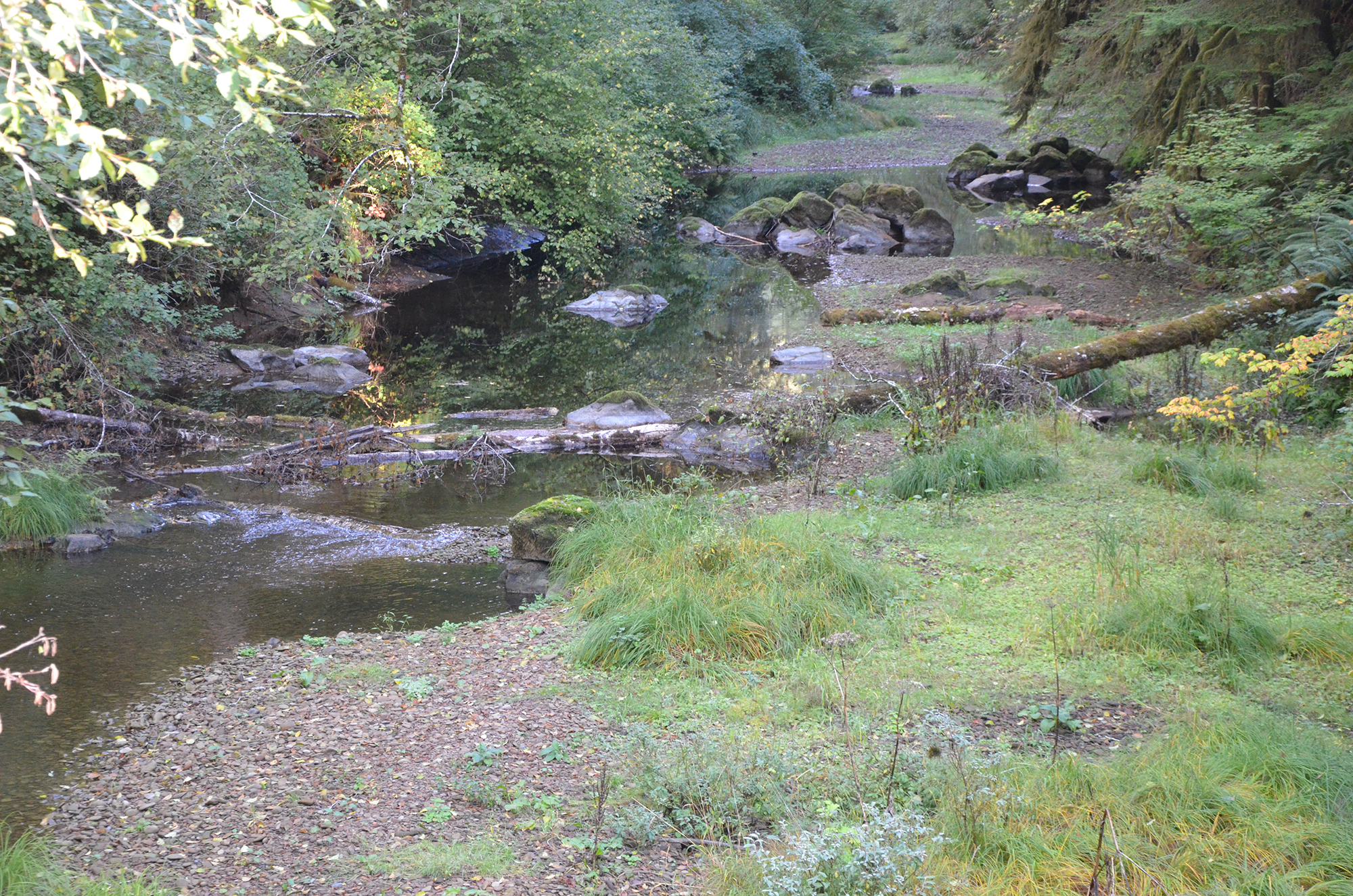
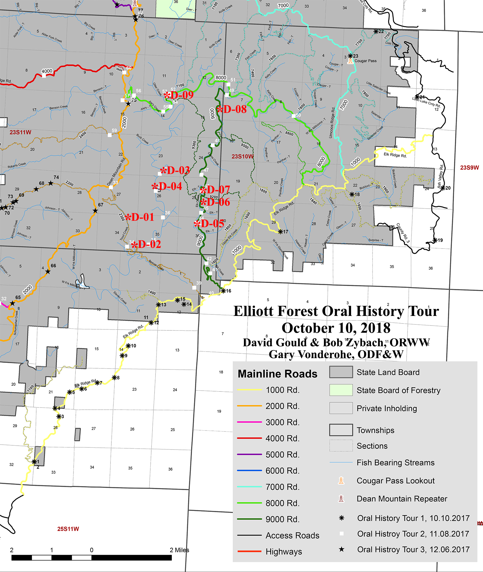
A recorded interview from Bob Zybach's Elliott State Forest oral history project, made October 10, 2018 on 3 tape sides and printed as a 36-page transcript, with his own stop-by-stop index.
Transcript
Pages are numbered as Bob Zybach printed them. Each page number is a
permalink.
printed page N is on PDF page N + 2
Some speaker labels on this transcript were recovered from the typography
of the printed page rather than printed as names; those attributions are
inferred.
p. 1 #D-01 13-A 0:10 Trout Creek Fry, Waterfalls & Landslides
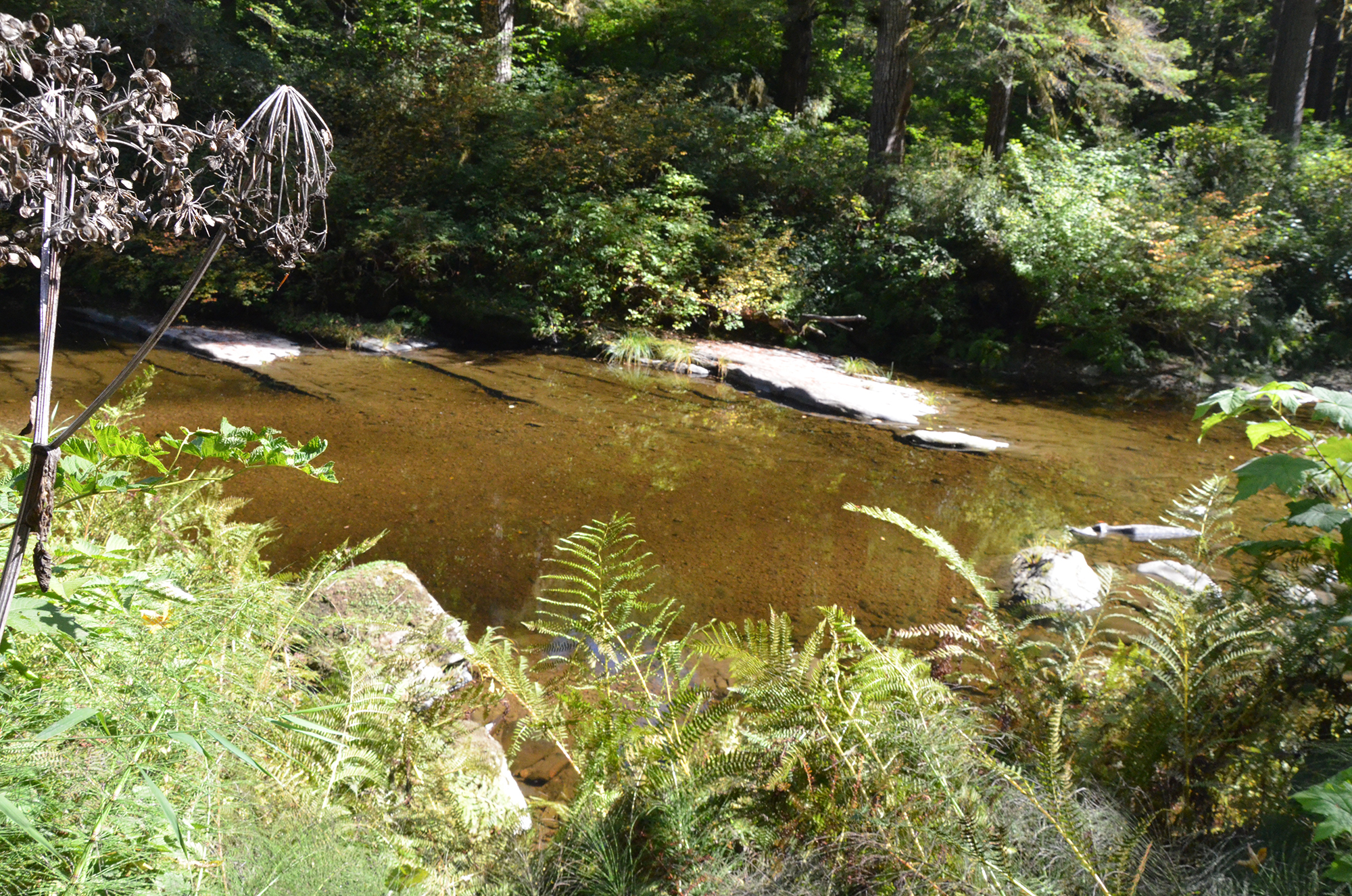
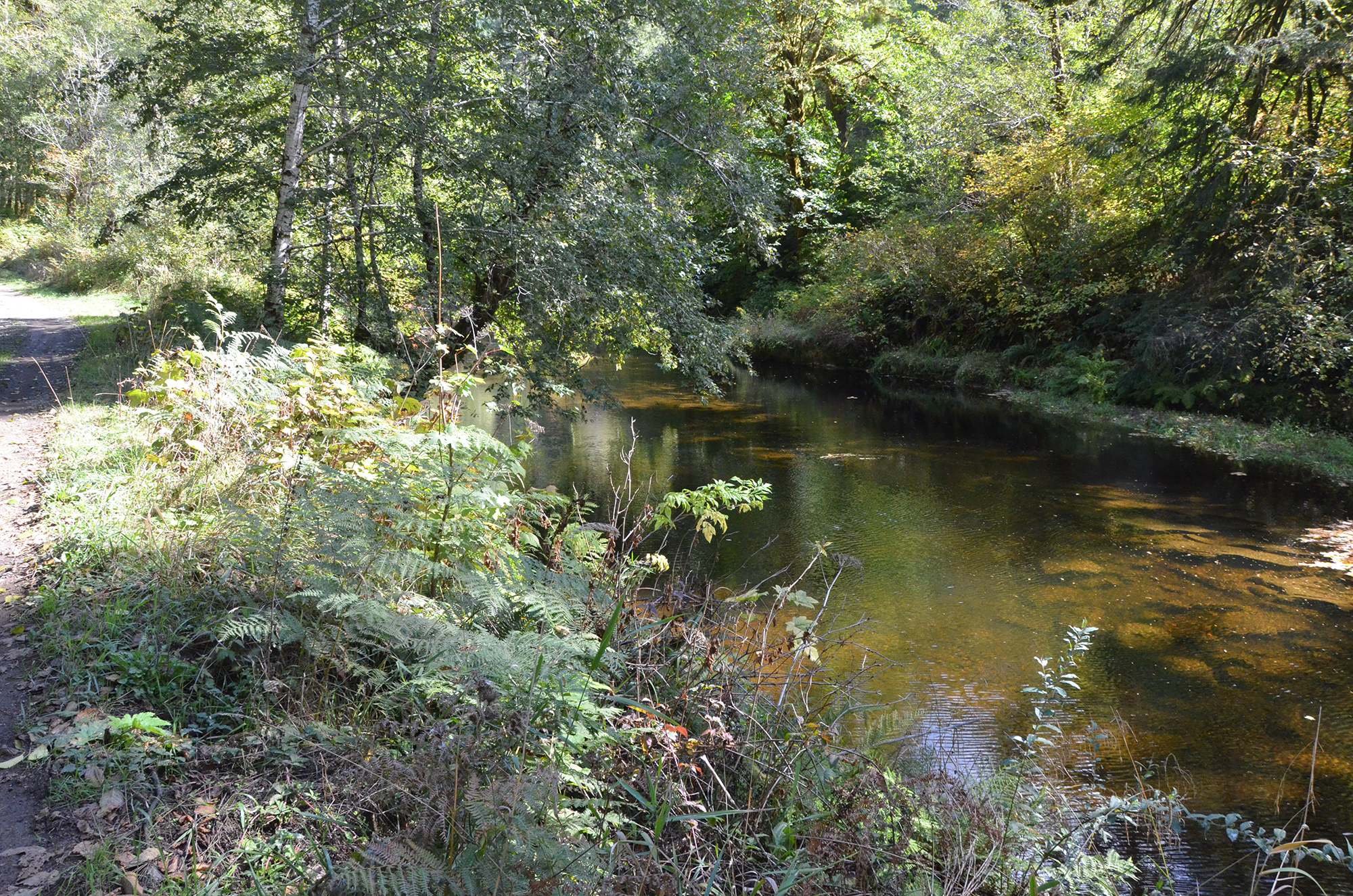
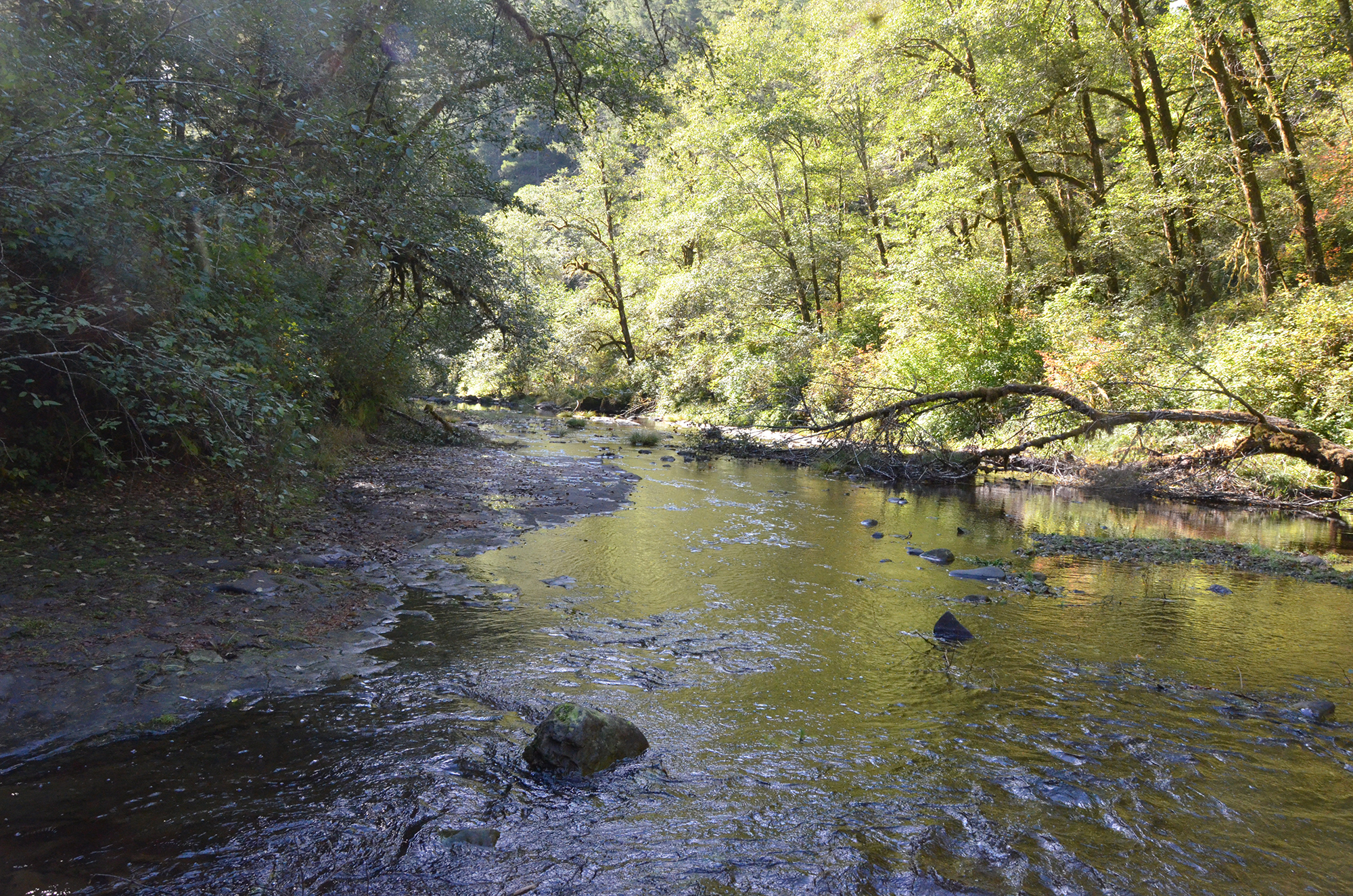
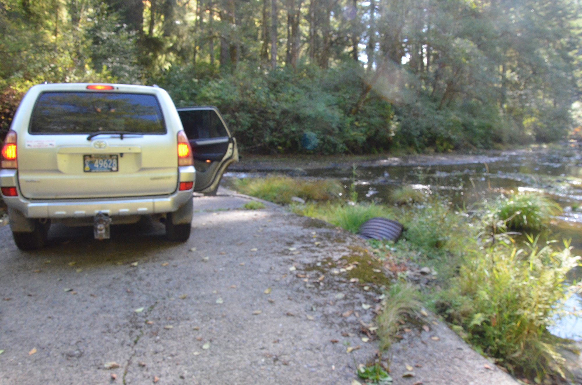
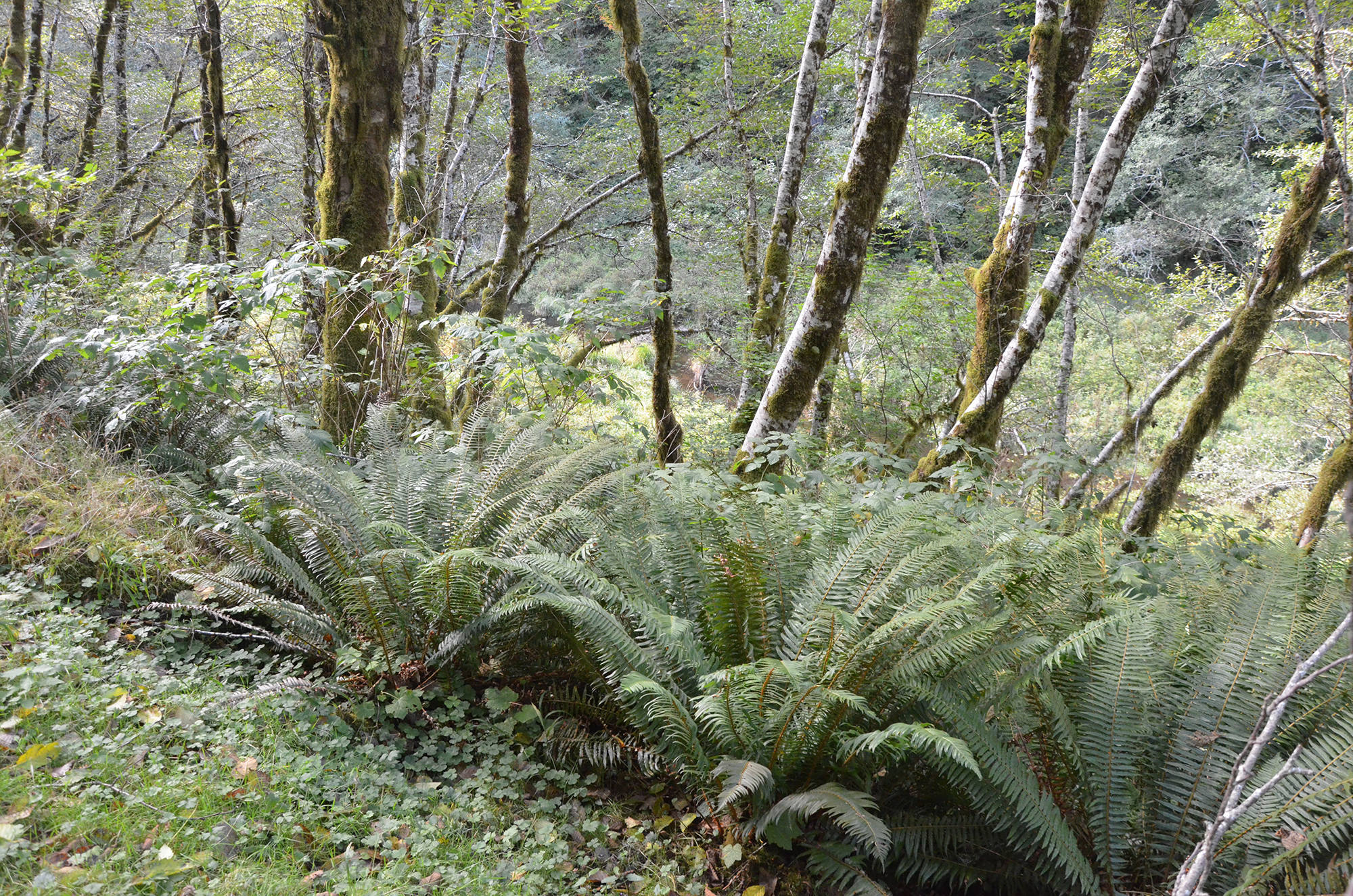
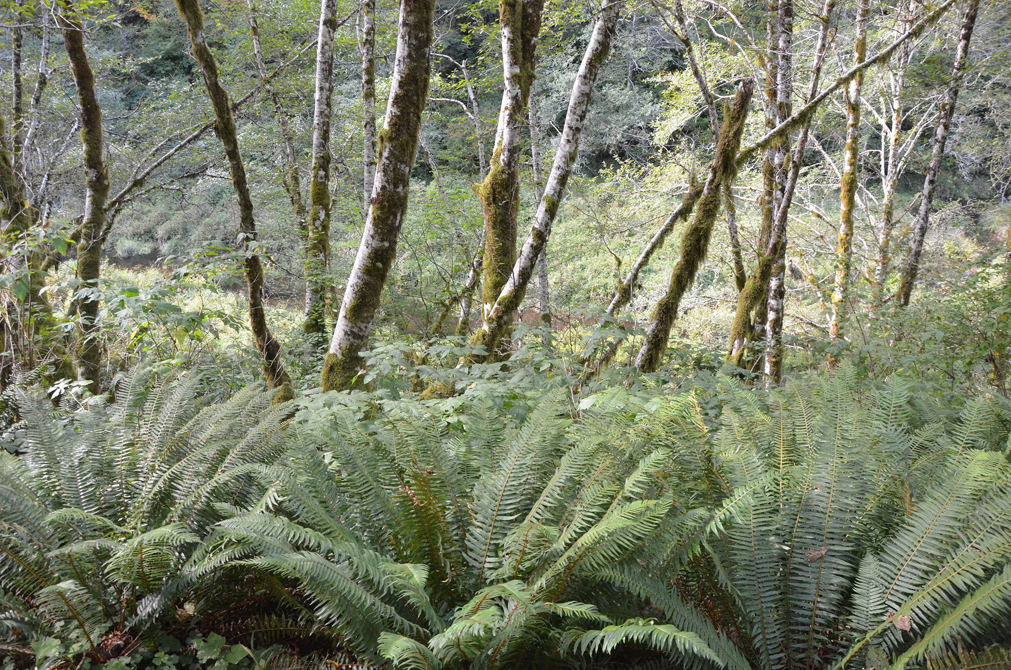
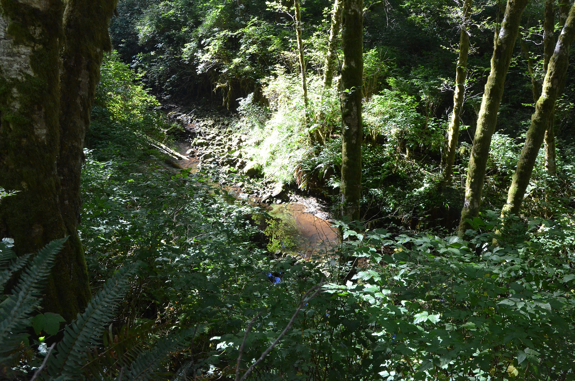
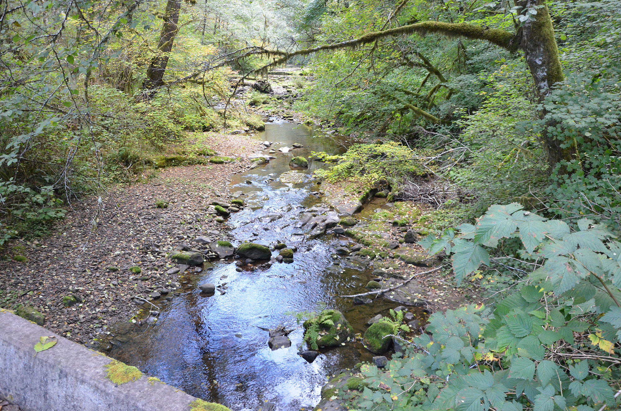
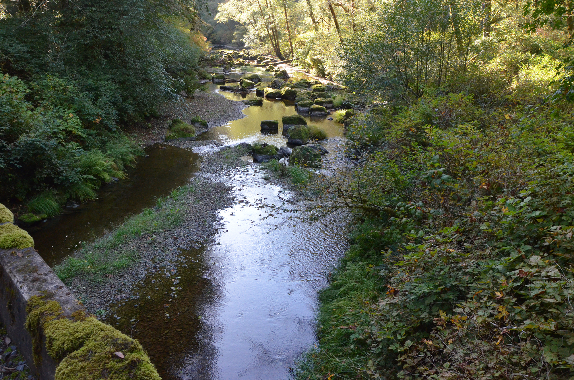
#D-01 13-A 0:10 Trout Creek Fry, Waterfalls & Landslides. Photos (2): 1012; 1013
Tape 13-A. Interview with David Gould and Gary Vonderohe by Bob Zybach while touring the Elliott State Forest on October 10, 2018. Part 1. Trout Creek to Jacobson Fishing Hole to Elkhorn Ranch (46:57)
#D-01. 0:10 Trout Creek Fry, Waterfalls & Landslides. Photos (2): 1012; 1013
Bob Zybach:
Gary, you said you saw some fish up here.
Gary Vonderohe:
Yeah. I don't know if they're cutthroat or juvenile coho. Something. You know, something ... a juvenile salmonid.
Bob Zybach:
Uh-huh.
David Gould:
It's named Trout Creek, so it's probably trout.
Bob Zybach:
So, and there's probably been trout for a while. We're looking at here the result of the landslide and the gravel that's now in there?
David Gould:
I was just trying to find out the gravels coming out of the hill, out of the landslides, and it's coming out into the streams, and then redistributed and clean sorted out by the water and it gets the sand and stuff out of it, makes gravel for the fish to spawn in. The sand and dirt looking stuff goes on towards the ocean and you get the gravel, you know, it comes out of the hills.
Bob Zybach:
So it's Trout Creek, it's been called Trout Creek for a while, but the landslide is only 2 or 3 years ago. Do you think there's been a history of just constant landslides through this area?
David Gould:
Well of course there has, that's why [inaudible 00:01:11].
Gary Vonderohe:
Okay.
David Gould:
There's another- see it's right here, I don't think you can see it-
Gary Vonderohe:
That right there?
David Gould:
Right there, that's another place where the water comes down in a landslide and it came right in over that. See all these trout there? Come straight out across the road and mud went down the ditch and cleaned that up. That all had gravel in it and that's how you're getting the gravel out in these streams. It's coming out the hills. There's no road up there where that come out of. That's just natural. Come right out of the hill.
p. 2 Bob Zybach:
Jerry's information showed that they had a whole lot of landslides over a ten-year period in the 60's, and then not so much for ten or twenty years, then a bunch in the 80's again. Does that seem right to you from your experience?
David Gould:
That's true, that's when they had the farms. You can't quite see it down here but there's a waterfall down in the main area down there. I'm not sure fish could get over that. I don't know I am going to walk down and slip.
Bob Zybach:
There's a waterfall below us, but there's trout above the waterfall.
David Gould:
Yeah.
Bob Zybach:
So, how does that happen?
David Gould:
Well they get up through it. They swim through it.
Bob Zybach:
So, the waterfall isn't a barrier to the fish.
Bob Zybach:
Gary does that fit in with what you've seen, what you've learned about this country? Natural landslides occur pretty regularly and keep this gravel in the streams.
Gary Vonderohe:
Yeah definitely, some trees, where you might have a small cluster of trees that will sluff off. Then it will cause a small landslide and you can see it on some of the hillsides. You can see the gravel coming in.
Bob Zybach:
So, the landslides are pretty critical at some level for creating habitats.
Gary Vonderohe:
Yeah, it is something that naturally happened. It's what's natural vs. in some places you get mass landslides, mass wastes, that type of thing. Which, still provides gravel but there's a lot more negative effects of that to fish. Versus these natural ones which are just kind of trickling in gravel.
Bob Zybach:
So on the mass landslides, is the reason it's negative for fish because it blocks access to the stream? Is that the main problem or sedimentation?
Gary Vonderohe:
Yeah, you've got a little of both. Usually the blockage is short, typically short term. But I've seen it somewhere when it really blocks a lot. Not necessarily in the Coos basin, but somewhere like the Tenmile basin. But then there's more of that sedimentation for a few years. You get that long- term sedimentation. A lot of silt that can suffocate eggs.
Bob Zybach:
Uh huh.
Gary Vonderohe:
In the wintertime, fish can have a hard time feeding because of it.
p. 3 #D-02 13-A 7:10 West Fork Spawning Gravel to New Beave Dam
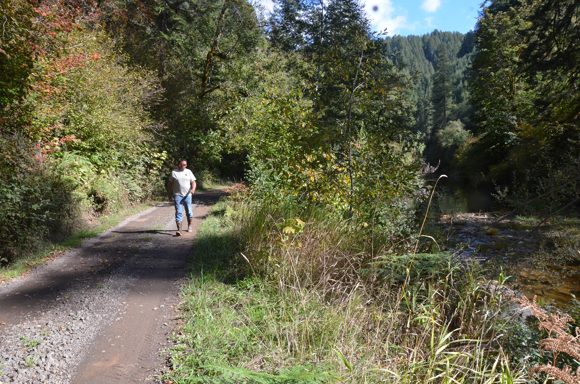
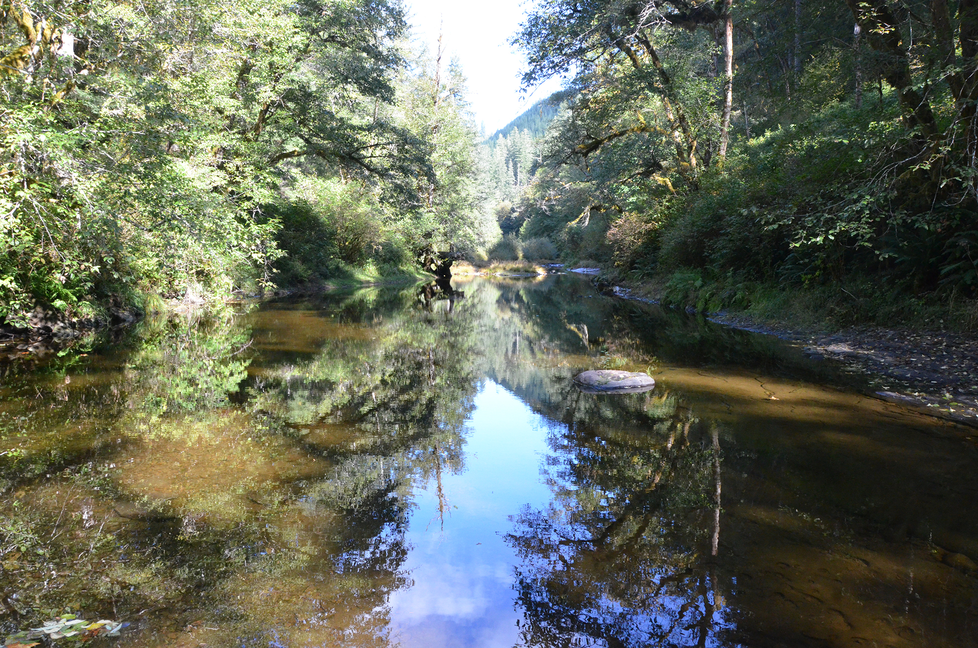
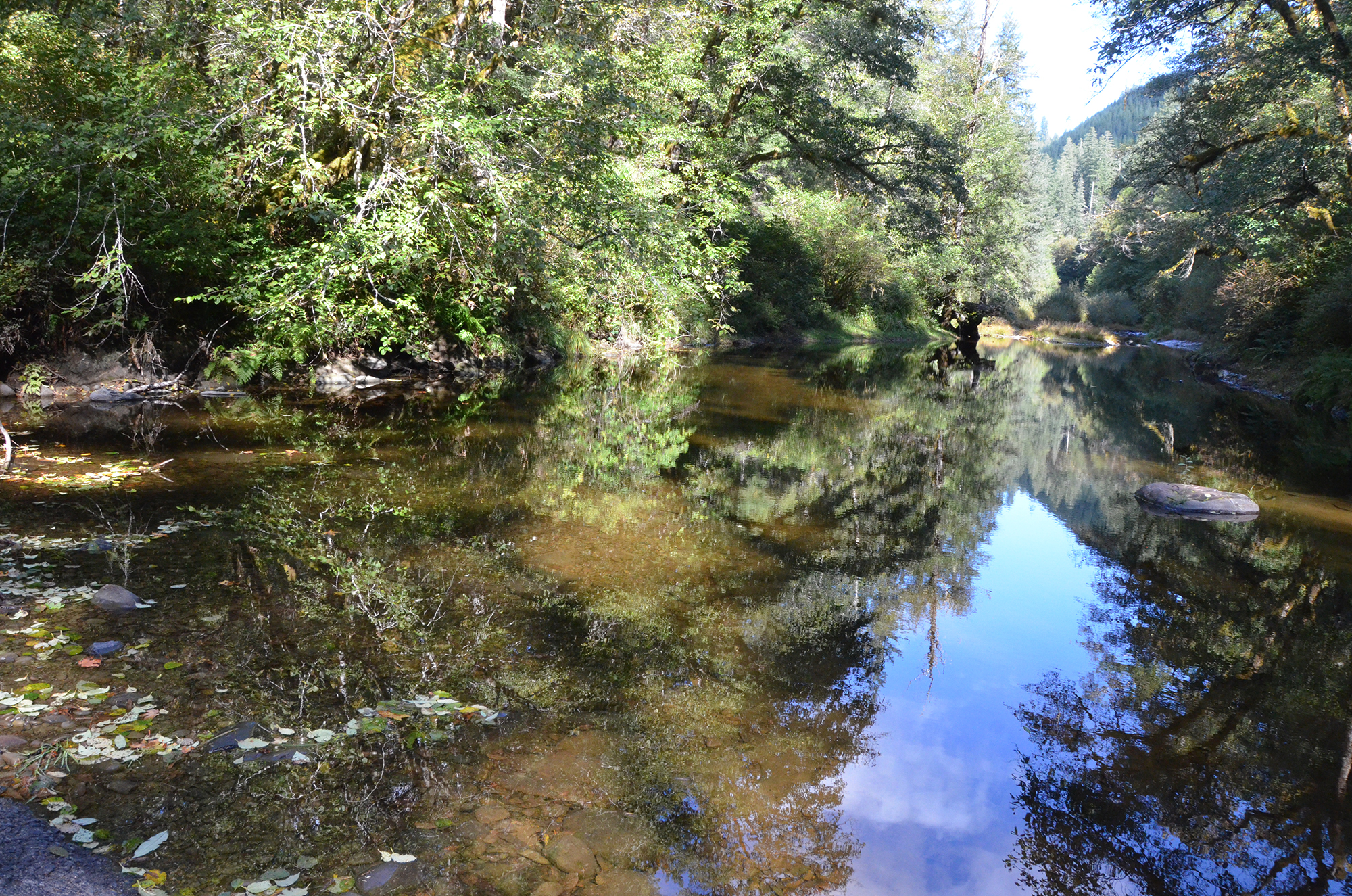
#D-02 13-A 7:12 West Fork Spawning Gravel to New Beaver Dam. Photos (8): 1018; 1019; 1020; 1022; 1023; 1024; 1025; 1026
David Gould:
You might drive around on the [inaudible 00:04:52].
Bob Zybach:
These are pretty steep hills so meanders aren't that common are they?
David Gould:
Not really, but in the lower part. There's one down there by Stalls Bridge. [inaudible 00:05:19] There's one of them down there. Then there's a lot of sliding. There used to be a bridge down there. Then [inaudible 00:05:45]. You see that? Plenty meanders down below.
Gary Vonderohe:
It might be down just a little ways.
Bob Zybach:
There should be some fish down there.
Gary Vonderohe:
No, the adult one there. Basically the trout there. I think that that's the lowest we've done.
David Gould:
[inaudible 00:06:39] We're out here walking over them. [inaudible]
#D-02. 7:12 West Fork Spawning Gravel to New Beaver Dam. Photos (8): 1018; 1019; 1020; 1022; 1023; 1024; 1025; 1026
Bob Zybach:
So now we're on the West Fork, are we heading toward the Elkhorn Ranch?
David Gould:
Yeah back there is where they come. [inaudible 00:07:44]
Bob Zybach:
Are you familiar with the history of this area through here, Gary?
Gary Vonderohe:
Just a little bit. I'm sure there is a lot more to learn.
David Gould:
You see the gravel down below. You see gravel over there. That's been like this for 30 years. I've got photos of all over here. It shows more gravel here. It comes down from quite a ways.
Gary Vonderohe:
Yeah. It all got started a couple of years ago.
Bob Zybach:
Let me get a picture or two here, David. I could just leave this in here if you want to describe what we're looking at.
Gary Vonderohe:
Alright well we can step right out. There's a lot of gravel on the bottom of this thing.
Bob Zybach:
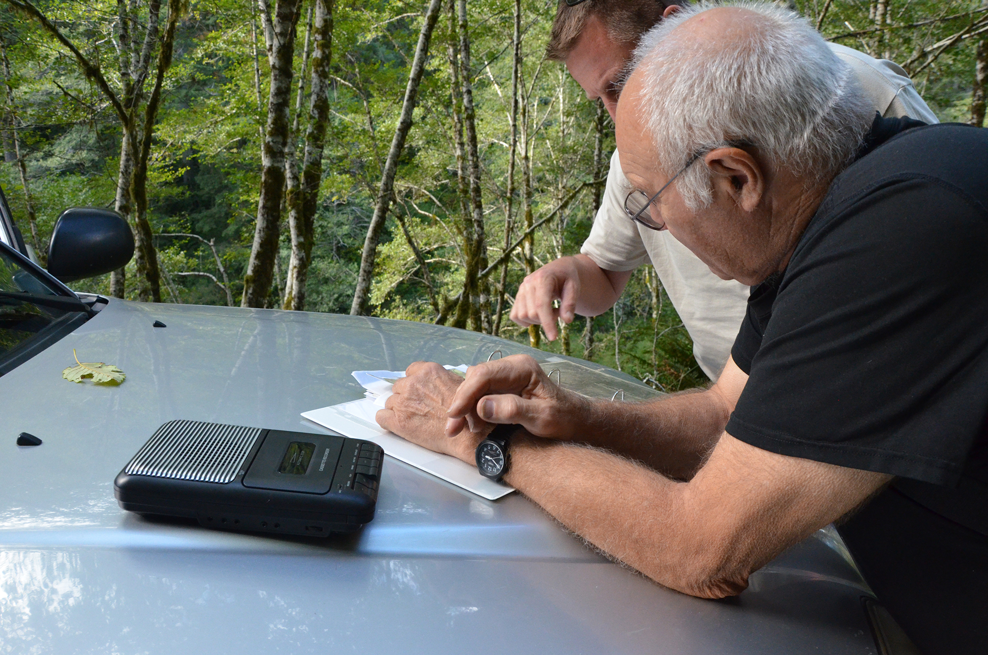
You got the recorder right here by your elbow.
p. 4 David Gould:
That gravel right there stems from way up the river. This last winter got it in here. It's kind of unique. They're probably six miles below the source of where it came from.
Bob Zybach:
Let me get my recorder here.
Bob Zybach:
So David, you're saying this area here, that just got photographed, didn't have any spawning gravel in it.
David Gould:
No, it came down probably five miles above here. That slide came down and now the Millicoma Meander timber sales caused a washout.
David Gould:
The washout caused of the quarry about 25 hundred to 3,000 yards of material into the river. Then there's all the washout and it put rocks and material right into the river.
Bob Zybach:
When that happened did they blame it on the logging, the landslide or was that just coincidental?
David Gould:
What the deal was that the rock when down into the water. Then the logs got loose and came pushing all the gravel into the river. They came and took out all the big rocks and the other stuff worked its way down. That's how you got a bunch of gravel in the river is by the logging.
Bob Zybach:
Gary, are you familiar with the history of that landslide that he's talking about?
Gary Vonderohe:
I am not sure if that is the same one I know of.
Bob Zybach:
Well, what we're looking at, this looks to me like pretty positive habitat.
Gary Vonderohe:
Yeah there's a lot of good gravel here that's for spawning for salmonids or for lamprey.
Bob Zybach:
The lamprey make it up here?
Gary Vonderohe:
Yeah, there's a lot of lamprey in the West Fork of the Millicoma.
Bob Zybach:
Do people still call them eels here? You correct them do you?
Gary Vonderohe:
They still do.
Bob Zybach:
Eel Creek, Eel Lake.
p. 5 Gary Vonderohe:
Another thing we've found through here is Millicoma Dace, which is a dace species but it's kind of diverged from Longnose Dace. It's only found in the Coos basin.
David Gould:
What's that?
Gary Vonderohe:
Like a minnow but it sits in the cobbles. So you find them in those cobbles with the faster moving water and they are very site specific. I know I have sampled through here and we've found them here.
David Gould:
There's some over there along the bank.
Gary Vonderohe:
Then there's Speckled Dace, which are kind of a relative, a different species.
Bob Zybach:
Before this gravel got in here, there was still fish in here though.
Gary Vonderohe:
There's fish, yeah. But it was just like a bedrock shelf. I have fished through here in the winter for steelhead.
Bob Zybach:
So the fishing are moving through here but before the gravel they couldn't spawn.
Gary Vonderohe:
They didn't spawn here.
Bob Zybach:
But now they could.
Gary Vonderohe:
There's potential if things are right. Just because there's gravel here doesn't mean it's right for a fish to spawn.
Bob Zybach:
Uh huh.
Gary Vonderohe:
If the hydrology is perfect, there's enough flow. Usually it would be back here in the tail-out would be the place you'd think you'd see most of them spawning.
Bob Zybach:
The gravel up here on the bank, it not only had to be covered here at the right time of year for two or three weeks for the fish to spawn and to hatch?
David Gould:
Right but they have to be in the right water. [inaudible 00:13:46]
Bob Zybach:
Do you know anything about that, Gary, when the water is up higher, then the bank gravel, does that increase the potential for it?
Gary Vonderohe:
As long as it stays wet.
p. 6 Bob Zybach:
For three or four weeks?
Gary Vonderohe:
Yeah, then then fry can get out. If the stuff up there by the bank dries, fish aren't necessarily going to use that or the chances are the ones that do, their eggs aren't going to survive.
Bob Zybach:
So with the water coming in, that stuff up there with the grass on that, that becomes potential spawning habitat?
Gary Vonderohe:
Yeah, it can.
David Gould:
Just up the creek there, it's good for something.
Bob Zybach:
Let's get located on a map too, for these stops here. I'm keeping this running as long as you're still talking.
Gary Vonderohe:
[inaudible 00:15:16] I've seen videos that people have made, on Youtube, where people are driving up this road going to the flats, driving through the big mud holes.
Bob Zybach:
They put videos of this area there? They've got mud runners back there at the camp, or that camp right in front of us. Can you find on the map one or two stops here. It will be recorded on the photograph. There's two maps here.
David Gould:
I haven't looked at a map in a while.
Bob Zybach:
Yeah I wanted USGS 7.5 minute quadrangle maps for this the first time. Amber just made these maps as we went. So, we've got this. Thank you.
Bob Zybach:
That's what I do these days. Did you do a one on there for the first stop?
Gary Vonderohe:
Yeah I did. [inaudible 00:17:00]
Bob Zybach:
I see the two.
David Gould:
[inaudible] Wait for the fire season to be over there.
Gary Vonderohe:
I'd say after the last week fire season would be over. We saw quite a bit of rain. But now it's been ten days of hot sun again.
Bob Zybach:
They opened up the federal lands to campfires and that. I think ODF did, too, and made a ruling on that, or used to.
Gary Vonderohe:
There's a little bit [of gravel] in there now, not a lot.
p. 7 #D-03 13-A 21:40 Mud Runners to Elkhorn River Crossing
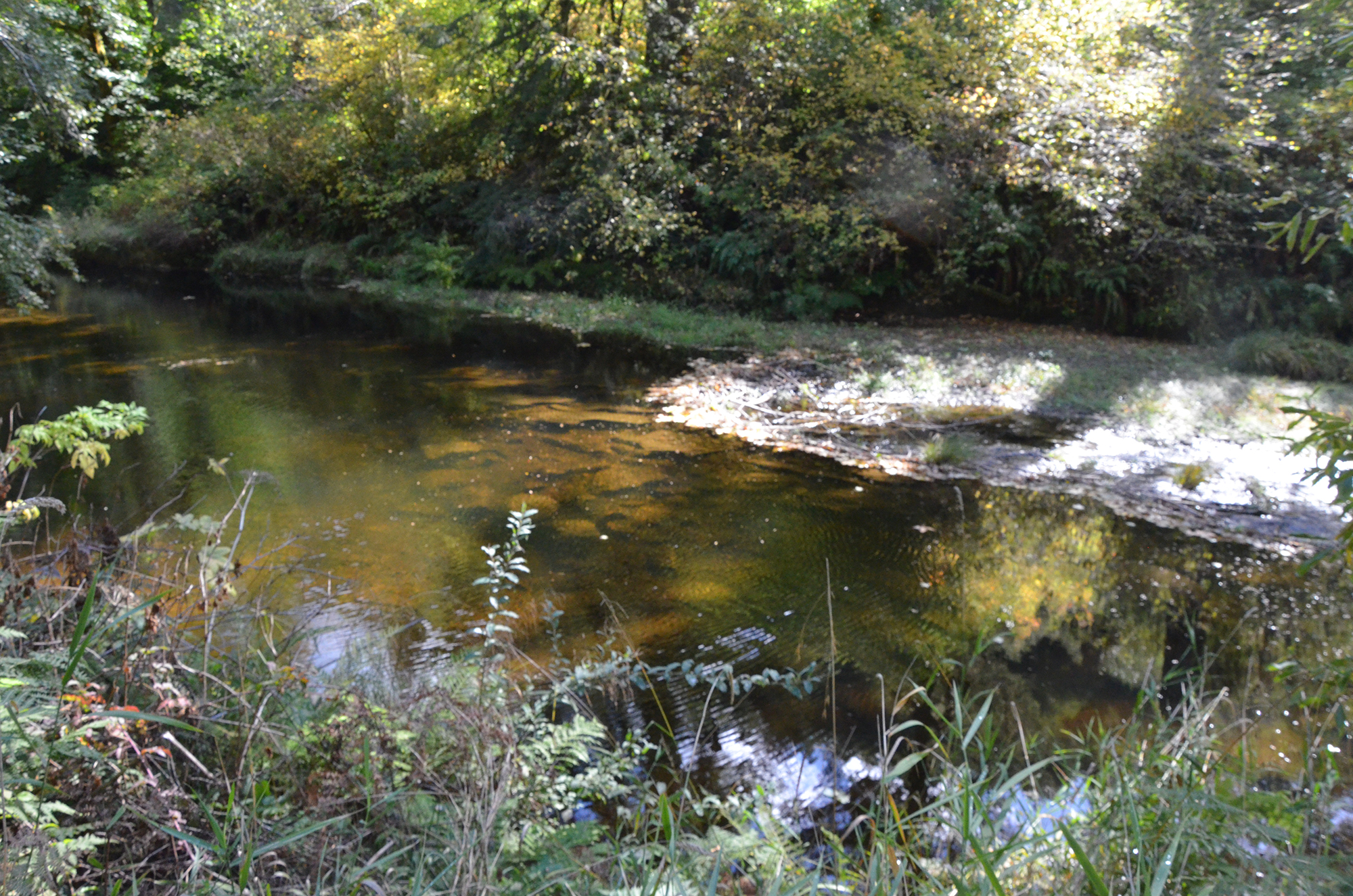
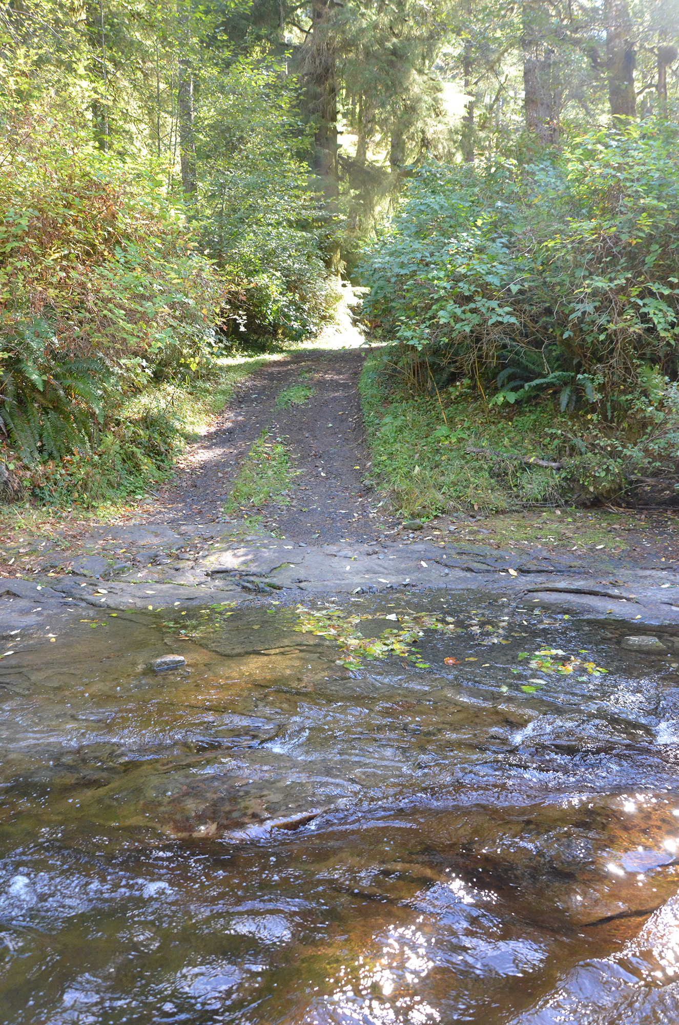
#D-03 13-A 21:40 Mud Runners to Elkhorn River Crossing. Photos (8): 1027; 1028; 1029; 1030; 1031; 1032; 1033; 1034
David Gould:
That beaver dam wasn't there two weeks ago. We were just here last season and there was nothing.
Bob Zybach:
Let me get a picture of the beaver dam there. Yeah, there's a spot, right there.
David Gould:
Yeah that's new. It wasn't there before. It was just about two and a half weeks ago.
Gary Vonderohe:
That's a lot of water getting backed up.
David Gould:
You don't see much gravel in that, do you?
Gary Vonderohe:
No.
David Gould:
That's what I'm talking about to you. You can skip, go through, and then the pressure is on the left.
Gary Vonderohe:
There's not enough to grab it through here. Nothing to keep it.
David Gould:
That's what I don't understand. It just blows through when it happens. At least we've got this road built here; in 1959 I think, it came up from the 2300.
#D-03. 21:40 Mud Runners to Elkhorn River Crossing. Photos (8): 1027; 1028; 1029; 1030; 1031; 1032; 1033; 1034
Bob Zybach:
That's pretty interesting. That's a pretty quick change in the scene.
David Gould:
Yeah, a washout. [inaudible 00:22:19] When it comes that's where the fish live.
Bob Zybach:
Can you mark this on the map for me? I'm getting it recorded. So this gravel here wouldn't be here without the landslides.
David Gould:
[inaudible]
Bob Zybach:
Probably somewhere. It's hard to tell. The camera will pinpoint it.
David Gould:
[inaudible 00:23:34] You can see what it did. You can recognize it. Kids made a trail.
Gary Vonderohe:
Some of them aren’t kids. There's bikers older than me through here.
Bob Zybach:
Some of those bikers looked older than me -- a couple of them.
p. 8 David Gould:
[inaudible]
Bob Zybach:
These trees in here, this section here looks older than the 1868 fire.
David Gould:
No, they’re not.
Bob Zybach:
They’re not?
David Gould:
No, they’re just bigger. No gravel there, it's all rock. It was from a rock outcrop. Solid rock.
David Gould:
Yeah these snags here, they are from the timber fire. You can't hardly see them.
Bob Zybach:
Those are going back to the 1868 fire but not before.
David Gould:
See how thick it is. There's the wood pitch.
Bob Zybach:
We called that "wonder wood," when we're camping out.
David Gould:
Out here we have some kind of wood from the flat plain, over here. This road up here gets pretty jammed up. Above you, you have the town. You can go fishing up there before the road. It's pretty to travel, but there's not much families. Another campsite here, you can see the fire there.
Bob Zybach:
Does this spot have a name? This is where we figured out Bob Jacobson camped and fished. It looks like other people set up fishing camps here, or maybe hunting camps.
David Gould:
A lot of people set up campsites. You can see the trail.
Bob Zybach:
It doesn't seem to have a particular name. It seems like in the 40's and 50's they gave names to all the different camping areas.
David Gould:
That one goes down and crosses over the log right over there. When I used to come up here it was just the road. [inaudible 00:28:40] Big trees scattered here then grew like that so you can see. The cascades are over there. You see a bear here every once in a while growing up here.
Bob Zybach:
We're going up the West Fork towards Elkhorn Ranch now, aren't we?
David Gould:
Yeah, we're about a quarter mile from the ranch.
Bob Zybach:
Seems like the mud-runners have a camp up here a short distance.
p. 9 David Gould:
Sometimes we see fires here up at the Elkhorn Ranch. The last one there was a death. We allowed hunting and recreation and saw a trailer down there.
Bob Zybach:
Is that potato patch, is that on the 160 acres?
David Gould:
No, it's not.
Gary Vonderohe:
It's right there in the gravel.
David Gould:
There's a big drop off here. A three- or four-foot culvert. You see it right there? I don't know if the fish can get through. There sure are a lot of holes to go up. I don't know why it's fire season for now.
Bob Zybach:
The Klondike Fires are still burning down south.
David Gould:
That has a lot to do with dealing with people. There's some of them making fire and we don't have to worry about it. See all of this in here, that's all alders.
Bob Zybach:
What was this like when you were a kid, David? Was it all alder in through here, too?
David Gould:
Yeah, smaller, though, they were smaller.
Bob Zybach:
The same basic trees, they were just thicker? There's pictures of people fishing below the bridge. There had to be fish up through here.
David Gould:
There were some big fish through here. Cutthroats 6 or 8 inches.
Bob Zybach:
Well, the fish that came out of Gould Lake were bigger than that at first, weren't they?
David Gould:
Yeah back when they had water. It's really just a muddy creek now. This was all cleaned off in 1961 and this has all grown up since 1933.
Bob Zybach:
What was this used for, pasturage?
David Gould:
No, this was original pasture was down here, but since then the other side was for plowing and such.
Bob Zybach:
You've got that one little spur down to the river for crossing there. We can stop on the way back out and get a photo.
p. 10 David Gould:
Right here is where they had a little bridge. You'd climb up on the bridge and it was calmer looking. [inaudible 00:35:20] They tried to clean it up for a while.
Bob Zybach:
Did your family go camping there this year?
David Gould:
No, we didn't make it this year. We came off the trail. I've been off that one with my granddad, off the trail. The time we came through and we spent a lot of time crawling around through the huckleberry bushes; what I realized is I would look up at the trees and then see them [incomplete].
Bob Zybach:
I think if I was hunting elk in this country I'd be checking out that orchard pretty close.
David Gould:
You look up on the forest and everything's growing in the forest and you're on the ground in the soil. You start thinking about that and you start thinking about it and it just goes right back into the ground.
Bob Zybach:
If I was hunter for elk in this area I’d be checking out that orchard pretty close. When we were there, there was a lot of elk sign there.
David Gould:
There's 160 acres on the homestead here. I was pretty upset when my dad told me that all the sides up there and the results up on top there. The side of the road gave way and came down through there. You see the whole trail was gravel. We couldn't cross the river. The water even now is going underneath through the gravel. I have been here in the winter time and there was enough to go over the road. See over here there is more gravel. They put that in to help it stay down. But there's so many holes now. It's hard to get gravel out.
Gary Vonderohe:
Yeah from the hillside.
David Gould:
That's where some of this gravel came from was the landslide, yeah. And it was all spawning gravel. [inaudible 00:38:52]
David Gould:
Do you have to be back by 5:00?
Gary Vonderohe:
Uh, about 5:00 yeah.
David Gould:
Do you want to go back out to where the trout are on the river?
Bob Zybach:
Not necessarily. This is where we crossed the river before right?
David Gould:
Yeah.
Bob Zybach:
This will be fine, anywhere we can get to.
p. 11 David Gould:
I want to show you where the fish are. In the holes. We've seen two fish that are probably 24 inches, at least.
Bob Zybach:
So you fished upstream from here when you were a kid?
David Gould:
Yeah where the holes were.
Bob Zybach:
Are those holes still there?
David Gould:
That’s where you catch the fish, where the water there is slowing down.
Bob Zybach:
Have you been up here through this area, Gary?
Gary Vonderohe:
Yeah just last year. I was elk hunting through here.
David Gould:
My family came through before the salmonberries.
Bob Zybach:
That was one of the questions we had, whether the salmonberries came here and were cultivated by the Indians. We wondered whether they were moving into the areas or rejuvenated.
David Gould:
They were here when we were growing up.
Bob Zybach:
Let me get a picture or two here.
Gary Vonderohe:
[inaudible 00:41:37]
David Gould:
This is the 5-acre piece here [inaudible 00:42:21]. A lot of this stuff was brought in by horses. There wasn't any roads. [inaudible 00:42:52] Kind of hard to believe. [inaudible 00:43:15]
Bob Zybach:
Where are we on the map there? [background discussion]
David Gould:
This one is near the bridge. This one is pretty high and then the one down here in the middle. You put a pin in it and it was hard to believe but that's where it's at. Sometimes you could find a small fish here.
Bob Zybach:
There's a ton of little fish right there, you can see them in the sun.
Bob Zybach:
Where are we on the map there?
Bob Zybach:
Okay, let's see. There's two there.
Gary Vonderohe:
He's drawn an arrow.
Bob Zybach:
Oh I see. So we're right here now.
p. 12 Tape 13-A End 13-A 46:47
Gary Vonderohe:
[unintelligible]
Bob Zybach:
That was the last spot. We're here now. Oh, I see. [Recording stops 44:46 to 46:57]
Tape 13-A End. 46:47
p. 13 #D-04 13-B 0:52 West Fork to Beaver Creek
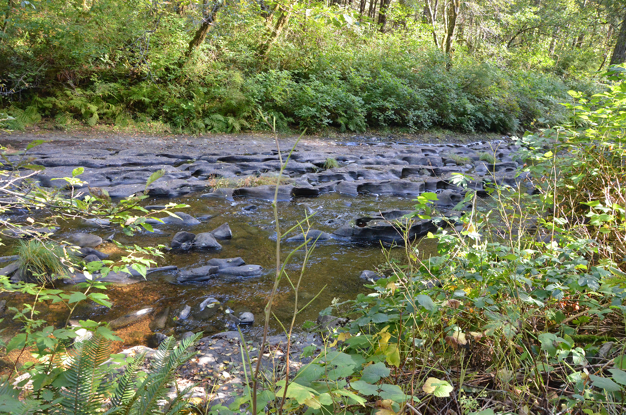
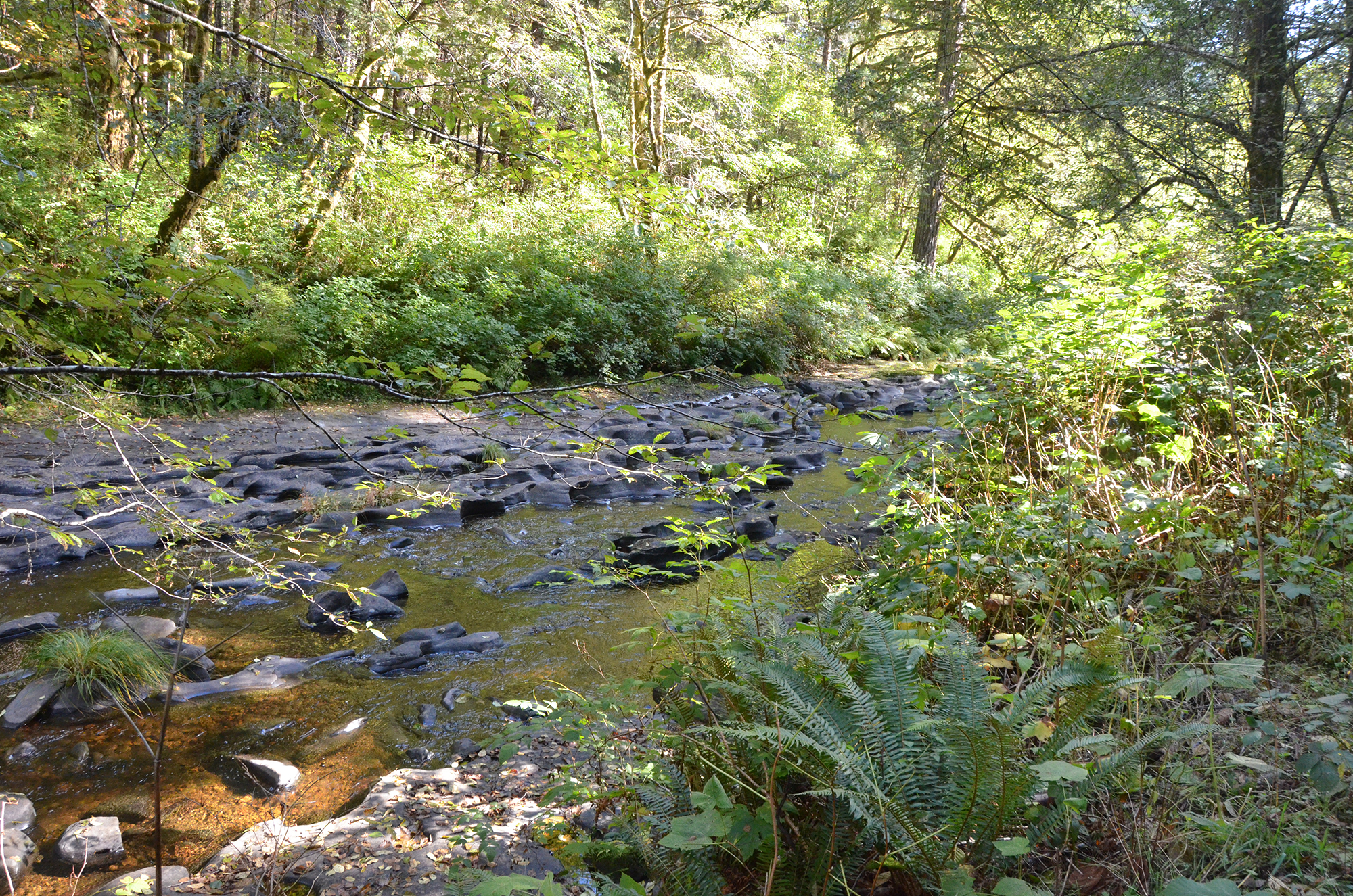
#D-04 13-B 0:52 Elkhorn Ranch to Beaver Creek. Photos (2): 1035; 1037
Tape 13-B. Interview with David Gould and Gary Vonderohe by Bob Zybach while touring the Elliott State Forest on October 10, 2018. Part 2. Elkhorn Ranch to Beaver Creek, Elk Creek & Gould’s Lake (45:23)
David Gould:
Great, I might have to pretend like I am back there . . . gravel through the orchard . . . [voice in and out in the distance]
#D-04. 0:52 Elkhorn Ranch to Beaver Creek. Photos (2): 1035; 1037
Bob Zybach:
Got the ruins right around through here, don't we? Trees look like they made it through the summer pretty good.
David Gould:
Yeah, the made it okay . . . you can see this draw comes in here and another one comes in sideways.
Bob Zybach:
The orchard area there is an alluvial fan?
David Gould:
A little higher. [inaudible 00:01:35]
Bob Zybach:
Have you seen pictures of the Elkhorn, Gary?
Gary Vonderohe:
Only like one or two. Some of the pictures that you had.
Bob Zybach:
We put quite a few on, from David's family, online.
David Gould:
That’s called Cedar Creek here. That's where they got the cedar for the house. [inaudible 00:2:30]
Bob Zybach:
David, were there any ripe apples this year?
David Gould:
There were a few. [inaudible 00:03:10] We got water rights for here.
Bob Zybach:
So, looking upstream, where I took that picture upstream here on the crossing, that little island-type thing, there is a landslide. Where we see the gravel and the rock in the middle there, Dave.
David Gould:
[inaudible 00:04:13]
Bob Zybach:
So, when you're catching fish up in the pools, you said some fish were pretty large, so that would be like stunners that get out that far.
David Gould:
[inaudible 00:04:39]
Bob Zybach:
Well that's pretty big for the size of the stream here.
p. 14 David Gould:
They were hard to catch. [inaudible 00:05:04]
Bob Zybach:
What were you using for bait?
David Gould:
We used a pole and line with a hook and some kind of weight on it. Periwinkles were good and some sort of a fly.
Bob Zybach:
So, you used periwinkles and bait fish.
David Gould:
I used grasshoppers. My grandmother used to fish with grasshoppers.
Bob Zybach:
We were looking at this fairly close for gravel last year and not seeing any. Is that normal for every year, or has this been an unusual year for it?
David Gould:
[inaudible 00:07:07]
Bob Zybach:
So, it's just working its way down.
David Gould:
It's just working its way down.
Bob Zybach:
When we came up last year there wasn't any and we were talking about it.
Bob Zybach:
Is this mostly sandstone through here?
David Gould:
That's all sandstone.
Bob Zybach:
Does it even make it to the ocean? Does it break down maybe before it ever gets that far?
David Gould:
No, it all grinds up. See all these panels that go on down through here.
Bob Zybach:
Let me get another picture here. I got the recorder right up by your elbow there, Dave.
David Gould:
See how this likes to run channels down through here. You're gonna find a crack or something. The flat is all level here, it's not on an angle. It's flat.
Bob Zybach:
This camera’s GPS receiver gives an exact location of where we're at. I just don't have any mapping software to map, map it. I like to keep
Bob Zybach:
So, those channels in the rock are just caused by . . .
David Gould:
All natural erosion. See this, that's a crack in the rock. And there's another one.
p. 15 Bob Zybach:
Well, that's what I was thinking. Maybe it's the gravel and the sand that's moving the way through here that's working like sandpaper type of.
Gary Vonderohe:
Seen this over in the Coquille Basin too. You get a rock like that and you get one rock finds a hole. And you find like this perfect bowl. And sometimes you reach down there and find this perfectly round rock that created that. As the water's spinning that inside.
Bob Zybach:
I've seen that on a large scale in Switzerland from melting glaciers, on a larger scale, but the same process.
David Gould:
So right here it’s pretty flat.
Bob Zybach:
So, there's kind of a combination of the current. Because if it's flat like this there's no current to speak of so it really doesn't create so much of that effect.
David Gould:
[inaudible 00:10:50]
Bob Zybach:
You know, David, you were telling that story before. That this is where the Indians went in during the fire, which would be the 1868 fire. And then there's one story, and it might have been that one where the guy was writing a historical novel on, but when the Gould's moved in here in '82 or '83, that an Indian family was living here and they moved up to Joe's Creek. That is Joe's family. So, does that sound like anything you've heard about or know about?
David Gould:
I don't know [inaudible 00:11:43].
Bob Zybach:
Well, there's a big berry patch on Joe's Ridge, there's a big berry patch on Indian Point. And that would be the type of thing that they would have kept open with fire. Is there some place where there's any kind of writing about the girl there at that location?
David Gould:
I don't know, they were just talking about it.
Bob Zybach:
It would be interesting to put that together.
David Gould:
[inaudible 00:12:42]
Bob Zybach:
No, I turned it over and it's recording again.
David Gould:
[inaudible 00:13:12] telephone line . . . telephone wire
Bob Zybach:
Yeah, the ice storm here about 1930 or 31, and they had somewhere in before that, must have been your family, before the . . . they said all the
p. 16 Bob Zybach:
telephone wires went down and a good number of trees went down. That had to be really young trees and a lot of frost damage from right after they created this as a state forest.
Bob Zybach:
Gary, what do you think about the plans if this was allowed to go into old- growth the way people imagine they want it to be, would that have any effect one way or the other on the fish?
Gary Vonderohe:
It's tough to say, I guess. I mean, there's going to be some initial benefits for a while. And then it kind of comes down to this philosophy of what we think is going to happen. And that's on a talk by Gordon Reeves. Where he talked about what people think of old-growth, might not necessarily be the most productive for salmon and steelhead.
Bob Zybach:
That was my question. There seems to be a lot of . . . and Gordon Reeves, I've been familiar with his work for 20 or 25 years. Most over the Willamette, but he's really done good studies. So, he's saying it might be, over the long haul, it might be an adverse effect on the fish, possibly.
Gary Vonderohe:
Well, I mean, you think about Mother Nature. Big fires, there's big events, earthquakes, things like that are changing the landscape. It might not happen all the time, might not be every 50 years, but every 100, 200 years, something like that, there's something going on.
Bob Zybach:
So, the dynamics, are they generally seen as good for fish? The landslides, the windstorms, the wildfires, the farming?
Gary Vonderohe:
I think the verdict's still out on that. It's one of those depends on who you want to talk to.
Bob Zybach:
But it's mostly almost all theoretical, isn't it? There's been no real definitive studies on that.
Gary Vonderohe:
Yeah, there's people . . . I go to American Fishery Society meetings and they talk about wildfires and smoke that changed the landscape and how that may affect the fish. There may be some, I guess a great example is the Chetco Fires, the Chetco Bar Fires. And a lot of people are like, okay what's going to happen with steelhead runs, in those river systems.
Bob Zybach:
So, they'll be monitoring that pretty close?
Gary Vonderohe:
As much as they can. Limited budgets and staff, you try to monitor it as much as you can and see what happens, so . . .
David Gould:
[inaudible 00:16:57] alder lots of limbs
p. 17 Bob Zybach:
I turned the recorder back on. Now, there's a bunch of rock up along the other bank over there.
David Gould:
[inaudible 00:17:31]
Gary Vonderohe:
A lot of that is deposit depending on the current, the way the river comes around the corner. That's probably the inside corner, so it'll drop out there.
Bob Zybach:
We're only seeing gravel in spots and stretches. We're not seeing it as a constant.
Gary Vonderohe:
No, this is trending pretty flashy and the gravel moves a lot. If you don't have a big wide spot to let that current dissipate, it's just going to keep moving that gravel. Or unless you have something else to break up that current. A little bit later we'll see the constructive log jams that the Coos Watershed got money for a contract to build. Those have done really well. They were designed to do different things. Some were designed to collect gravel, some were meant to create a pool.
Bob Zybach:
So, it seems like they're getting some pretty good information back from these past efforts. I know in '96, were you here in '96?
Gary Vonderohe:
No.
Bob Zybach:
Right before then that's when they went from stream cleaning to putting structure, as they called it, a bunch of logs and things in the stream to create the effects you're talking about, impoundments and that. And then the '96 floods, we had two of them, and it blew all that stuff out into the ocean. So, it was like an ephemeral effect.
Gary Vonderohe:
We've learned over time, the original lot placements, any older placements, things like that, they had to keep them in that spot. This is where we're going to put them and we don't want to move an inch. And since then, we've learned, hey, no, try to have it someplace where maybe something natural like trees or something that can hold it. But if it moves, it moves. That's Mother Nature's process to let it move down the water.
Bob Zybach:
When they use logs for structure instead of rocks, it seems like at some point that's going to rot or blow out in a flood or something, whereas the rocks seem more of a permanent.
Gary Vonderohe:
Well, the new constructed log jams that we're going to look at, they're a mixture of both.
Bob Zybach:
Oh, good.
p. 18 #D-05 13-B 23:01 Beaver Creek to Elk Creek & Gould’s Lake
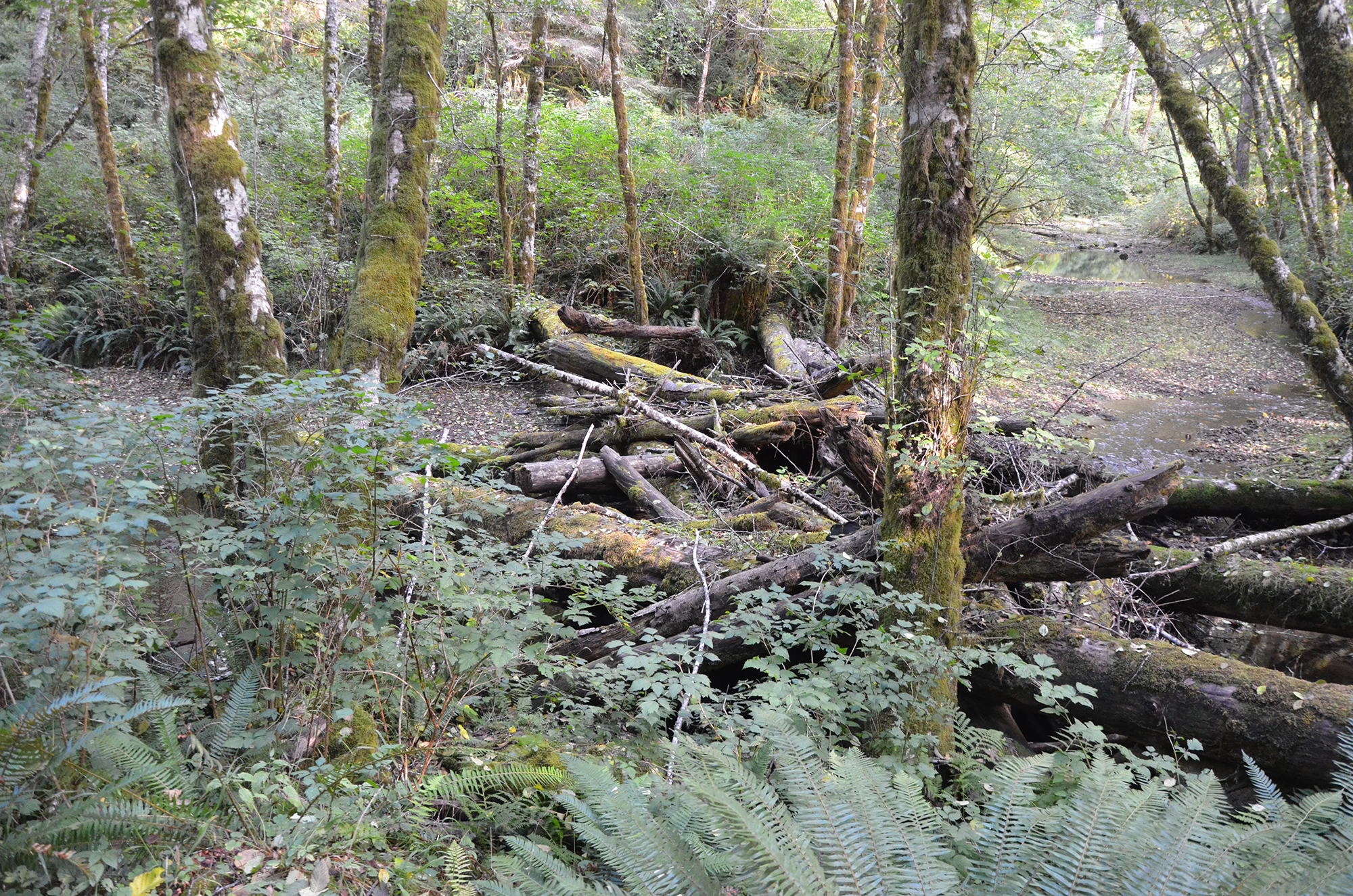
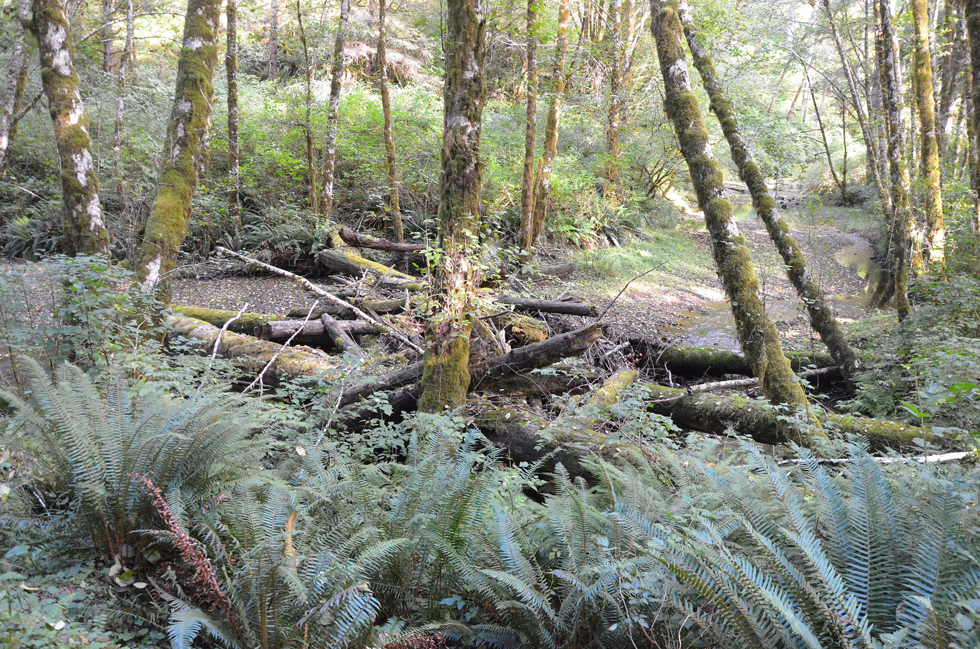
#D-05 13-B 23:01 Beaver Creek to Gould’s Lake. Photos (5): 1038: 1039: 1040; 1041; 1042
Gary Vonderohe:
They're a mixture of rock and wood. And in a smaller stream setting, like we'll go to Elk Creek here, really there they just use wood. Very little rock used in that. You get to the west fork Millicoma, you get some of these other streams, they're bigger, there's not trees big enough that people are going to donate or let you use that can span the whole river. So, it's really comes down to, okay, how can I get some wood out into the river and trying to hold it there at least for a while.
David Gould:
It’s like my cousin . . .
Bob Zybach:
We've got some good photos on Jackson Creek, which is up in the Cascades tributary the south fork Umpqua. They've got these logs tagged that they hold up by helicopter, truck down to put in Jackson Creek to create structure. And then they had a flood, rain on snow event, and an avulsion, the creek moved about a hundred feet. So, here they were high and dry. These logs saying wildlife habitat, and a fine for firewood cutting. But they were just like logs on gravel.
David Gould:
I got some water here if you want.
Gary Vonderohe:
I'm good, I brought some with, too, but thanks. Yeah, that's one of the things. When you look at a log placement. Like at Elk Creek, you put them someplace. Okay, the creek, if it leaves point x where it was originally put, there's going to be some trees or something else to catch it. Areas like that, like the West Fork of Millicoma is big enough. When a log breaks free, it's . . .
Bob Zybach:
It's headed for the ocean.
Gary Vonderohe:
Yeah, it's going for the ocean or somebody's field. When you're designing that, you have to be real cautious on what's downstream, is there a bridge, is there something on somebody's property that we might cause damage to?
Bob Zybach:
Well, they've only been doing that for like 30 some years, so it sounds like they've been learning a lot as they've been going.
Gary Vonderohe:
Yeah, and there's been a lot of people being very, very cautious, because the risk factor goes up.
#D-05. 23:01 Beaver Creek to Gould’s Lake. Photos (5): 1038: 1039: 1040; 1041; 1042
Bob Zybach:
Are we on Beaver Creek now?
Gary Vonderohe:
Yes.
p. 19 Bob Zybach:
Okay. Has the West Fork, it's been historically a fairly good producer of steelhead, hasn't it?
Gary Vonderohe:
Yeah, it is. And coho is probably one of the better consistent spots in the state, for coho.
Bob Zybach:
So, the type of structure that's here, which is kind ephemeral. The gravel's moving through and flat rock in places and warm, shallow temperatures in the summer.
Gary Vonderohe:
It's the tributaries that are really productive.
Bob Zybach:
Okay.
Gary Vonderohe:
All the small tributaries are where we see a lot of fish using.
David Gould:
[inaudible 00:24:09]
Bob Zybach:
We get both, yeah.
David Gould:
[inaudible 00:000:24:19]
Gary Vonderohe:
Yeah, you got like Elk Creek, Deer Creek, Otter Creek is another good one.
Bob Zybach:
Are there good reports on your salmon, or I guess any salmonids, on the West Fork and Elk Creek? Are those available to the public, those kind of reports?
Gary Vonderohe:
Yeah, the data's out there. I know once or twice the Board of Forestry, they asked for information on tally rates. And like, coho's spawn numbers on Elliott versus what you see other places on the Oregon coast. So, I know somewhere I got one of those documents, somewhere.
Bob Zybach:
Would it be possible to get copies of those so we can put them online?
Gary Vonderohe:
Yeah, I'll see if I can find them.
Bob Zybach:
Okay.
Gary Vonderohe:
If I forget, you might have to remind me.
Bob Zybach:
Okay, well, I got it on the tape.
David Gould:
[inaudible 00:26:27]
p. 20 Gary Vonderohe:
Yeah, I started one year. I think I was on the 1400, dropped down to the bottom, walked up to the bridge, walked this all the way back to the car. I was a little tired.
Bob Zybach:
And you never did it again.
Gary Vonderohe:
Exactly. That's a couple miles.
David Gould:
[inaudible 00:27:02]
Gary Vonderohe:
I had that one day. I came archery hunting and I think it was a Sunday evening. And I got in the bottom, I was into some elk, I just couldn't get close enough for a shot at anything. Pretty soon, it's like, okay, it's getting dark. It's starting to get dark. I better get out of here. And I picked the wrong ridge. And so I was probably three, four miles away from my vehicle. But I got halfway up the ridge and I realized I was on the wrong one. And now it's really getting dark. And I had a cellphone, but it was in my truck. And I'm like, oh boy. My wife's going to be looking for me real soon. I made it to the 1000 and some guy was driving by and luckily gave me a ride back. Cut off about three miles of walking.
Bob Zybach:
Have you seen book Lost in Coos?
Gary Vonderohe:
No, I haven't.
Bob Zybach:
It's all about people that got lost in this area, and the rescue parties that went after them.
Gary Vonderohe:
Luckily, I knew where I was. I wasn't lost, it was just going to take a while.
Bob Zybach:
Did that when I was hunting with my dad when I was 15. I took the ridge down the wrong way and didn't get back until after dark. Worried everybody real bad. It was just like fortunate that I got oriented before I had to spend the night.
Gary Vonderohe:
If I bring that home and start reading it, my wife will get worried. I'm supposed to not show her the book.
Bob Zybach:
That's all rescues and it's by David's family doing a lot of it, so you're safe. It's a temporary condition when you get lost.
David Gould:
[inaudible 00:29:11]
Bob Zybach:
Now we're pretty close to Jerry's Reserve, aren't we? And this is the CCC road?
p. 21 Gary Vonderohe:
The 1000 road.
David Gould:
Jerry's Reserve is right there.
Bob Zybach:
We still have to go out there and flag out that one line. I think so. Jerry said it's never been set. Amber said that they're probably going to set it aside.
David Gould:
[inaudible 00:30:10]
Bob Zybach:
Isn't this the first stretch that was built by the three Cs? It wasn't?
David Gould:
No it wasn’t.
Bob Zybach:
It wasn’t? Who built the 1000 line, then?
David Gould:
[inaudible 00:30:54]
Bob Zybach:
So, that was Al Pierce.
Gary Vonderohe:
Yeah this is now the one that we're told.
David Gould:
See that sandstone? [inaudible 00:32:31]
Bob Zybach:
Gary, have you ever looked at Jerry Phillip's book on the history of the Elliott?
Gary Vonderohe:
No, I haven't yet.
Bob Zybach:
All of these trails David's talking about? He's got them all mapped out. And I did separate research and I mapped out the Indian trails, but on a theoretical basis. But they're pretty accurate. And they just correlated almost exactly. But we put, with David's help, he gave us funding to work with. And we put in a whole history section. We scanned the history of the Elkhorn Ranch that his Aunt wrote, who scanned Jerry's book, scanned Lionel Youst, three of his books, including Lost in Coos. So, they're all available free online.
David Gould:
[inaudible 00:33:27]
Bob Zybach:
Now this a tributary of Elk Creek here?
David Gould:
[inaudible 00:35:11]
Bob Zybach:
That's the 1868 fire too?
p. 22 David Gould:
No it didn’t come through here.
Bob Zybach:
Oh, so those are older than 1868?
David Gould:
Yeah. 30 years older.
Bob Zybach:
Okay. Well there's that 1770 and then 1840.
David Gould:
[inaudible 00:36:02]
Bob Zybach:
That one at Elk Creek. Yeah, David was talking about the 1840 fire. When we came through with Jerry and we were discussing 1840, 1868 fires and subsequent ones in the 1880's. And then also the people that settled in through here set fires for pasturage and that too. So, those are like spot fires. But the 1840 one found good correlation with these missionaries that went over to the mouth of the Umpqua and were talking about the fires that were raging out of control on the way back. Which would have been possibly the same fire that jumped and burned out like David's describing. That's why he thinks Jerry's wrong.
David Gould:
Here is where I get into trouble.
Bob Zybach:
Is this a little quarry?
David Gould:
Yeah, it's a little quarry. [inaudible 00:37:38]
Bob Zybach:
This is the riparian zone?
David Gould:
Right there. [inaudible 00:38:13]
Bob Zybach:
Gary, when you were talking earlier that they were able to make all those roads and dikes and everything with real low-grade technology, horses, and froes and things. And now we've got all this technology, but now we've got all these regulations. So, I think what I'm hearing here is a description of why it’s more difficult to get things done now even though we've got the machinery and the technology and everything else. It's the regulations that make it difficult.
Gary Vonderohe:
Back when they built it, they had willpower to do it.
Bob Zybach:
Yep. Well, most of that stuff wouldn't be allowed anymore. Roads like this even might not.
David Gould:
[inaudible 00:40:14]
Bob Zybach:
Didn't he make his claim, George Junior, on the lake?
p. 23 Tape 13-B End 13-B 45:23
David Gould:
Yeah, on the lake right here.
Bob Zybach:
We're at the lake.
David Gould:
[inaudible 00:40:39]
Bob Zybach:
Well then the trail went from here over to Loon Lake and it also went back over to the Elkhorn Ranch.
David Gould:
Yeah, it went down this draw. [inaudible 00:40:39]
Bob Zybach:
One of these days I want to hike down there. No, I tried to take pictures of it last time and it really just looked like a bunch of trees.
Gary Vonderohe:
A bunch of grass and trees.
Bob Zybach:
Yep. Check my tape here. [Tape doesn’t record from 41:50 to 45:23]
Tape 13-B End. 45:23
p. 24 #D-05 14-A 0:01 Gould’s Lake & Historical Family Photos
#D-05 14-A 0:01 Gould’s Lake & Historical Family Photos. Photos (5): 1038: 1039: 1040; 1041; 1042
Tape 14-A. Interview with David Gould and Gary Vonderohe by Bob Zybach while touring the Elliott State Forest on October 10, 2018. Part 3. Gould’s Lake to Elk Creek Log & Boulder Structures (30:23)
#D-05. 0:01 Gould’s Lake & Historical Family Photos. Photos (5): 1038: 1039: 1040; 1041; 1042
David Gould:
I've been on top, right around the mouth. It’s washed out. No water in it now.
Bob Zybach:
(looking at photo) There's a boat in there. There it is. There's the boat.
Gary Vonderohe:
Oh yes.
David Gould:
Two people on it. Here's another picture of the lake. That'd be right down here. And here's a snag in this, now this was telling you. This would be probably 1905 maybe later. You can see the stub sticking out..
Bob Zybach:
Do you have the picture with your aunt with the fish?
David Gould:
I don't think I got that with me. Here's the one with the Elkhorn Ranch. This was on this side. Here's the slide right here. See it?
Gary Vonderohe:
Oh, yeah. Yep.
David Gould:
Right here, and here's where the lake was right here similarly.
Gary Vonderohe:
That comes down and pinches.
David Gould:
Pinches it off, and then down here, this is where you leave the concrete bridge. Now, this is all gravel down here. This is going to be coming out of this slide. If you look down here, there's this right here. What's that? See this?
Gary Vonderohe:
Looks like another slide old slide there.
David Gould:
That's another slide there before this one. This one came in 1894, when they were living over here. And that's why they call it Gould Lake. They're from Texas. My whole deal about the spawning gravel and this slide. We'd have gone here now, and a little up above here, about where the lake started. It's all gravel in the bottom. When you get to be localism, it's all sand that comes in after they started logging, settled out of the water.
Bob Zybach:
What part of the lake are we at there on this?
p. 25 David Gould:
Well, we're right here on the map.
Bob Zybach:
Yes. We're kind of closer to the bottom though.
Bob Zybach:
So, where is the island?
David Gould:
The island is right up there.
Bob Zybach:
So, it's up over there.
David Gould:
Yes.
Bob Zybach:
Okay.
David Gould:
And then this slide.
Bob Zybach:
I don't think I got a copy of that picture.
David Gould:
What's happened here was a lot of drifting. You've got all this drift to come down and you go down there and you complain about all those losses down there and where the water ran out, but then here's the other part of this slide. This is the slide we can go down and look across in a little bit. See how the snags are dead? They were burnt dead and then they burned again. You can see that quite plain. Then you see all these bigger trees here? See one, two, and three? There's actually two of them still there but you can't see until you look. Here's another stump over here, but all the rest is real small trees.
Bob Zybach:
And most the snags are relatively small.
David Gould:
But on the low end of that stuff is what's been going out and then making this spawning gravel here that's going down in there.
Bob Zybach:
Now, when did this break through? Because, in the '50s, we've got records of people coming up here and catching a bunch of fish, but they're four and five inches, and then in the 1890s and early 1900s they are 10 and 12 and 14 inches.
David Gould:
Well, for a while they were bigger But I think they were spawning up there, living in it.
Bob Zybach:
He's been down here and fished a lot too, so it was used recreationally a lot. The CCCs used it.
David Gould:
They came over, yes.
p. 26 #D-06 14-A 6:03 Elk Creek ODF Structures: Dynamic Design
#D-06 14-A 6:03 Elk Creek ODF Structures: Dynamic Design. Photos (1): 1045
Gary Vonderohe:
I saw them come through here looking at the out of State Forest map, and written on there is Gould Lake. I'm like, "Where is this lake? I have to find it."
David Gould:
This was Burt's cabin, which is over on the other side. He's somebody old who's with some of the old people who lived with horses and stuff.
Bob Zybach:
Me too. When we came here last year, I was expecting a lake even that recent.
David Gould:
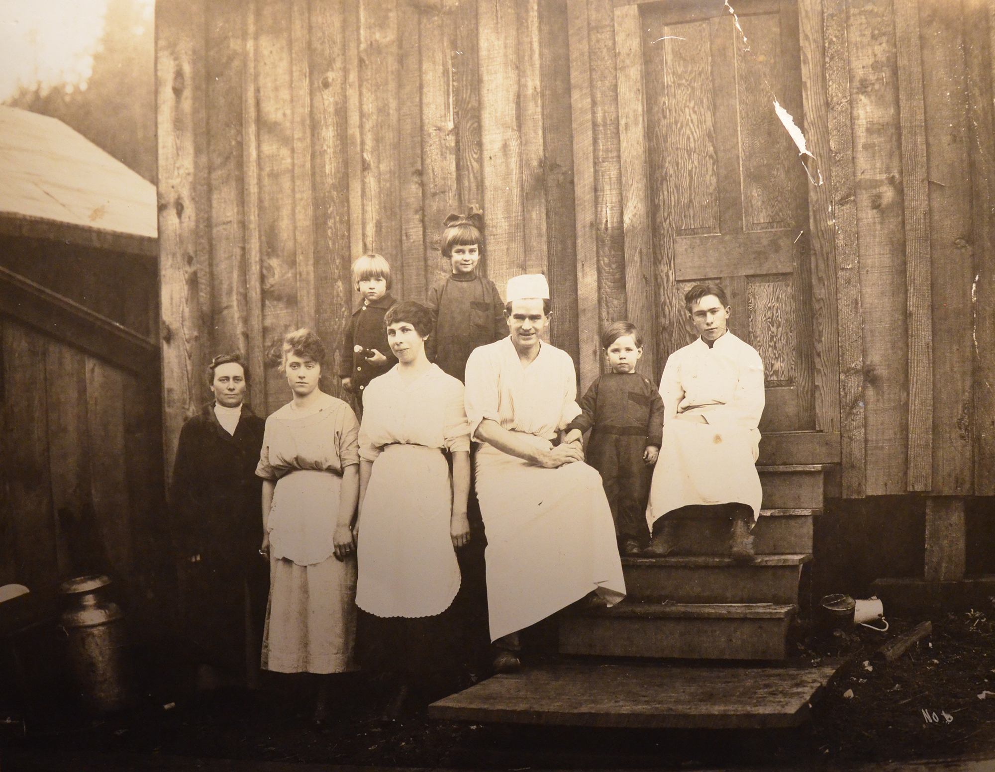
That's another picture of Burt's cabin. This is inside the [Elkhorn Ranch] house. He built all this. All this was built on the place. He was sawing and everything. This is just down to Alleghany, he'd pack horse in and they used it for a Dude Ranch.
Bob Zybach:
There we go.
David Gould:
Here's the Elkhorn Ranch. This is where we turned around over here. Milk would be here, you see the snag, and you see [inaudible 00:04:27]. Now, this boat here, he built that [here and brought it down to live in hard water. Had to let him know [inaudible 00:04:36] the snow falls on [inaudible 00:04:35].
Bob Zybach:
So, he built that boat at Elkhorn, not at Alleghany?
David Gould:
Yes. No, and then he put the motor in it at Alleghany. But then he went to Portland and got his pilot's license.
Bob Zybach:
That picture there will be in the magazine article I've got coming out this week or next week, this marbled murrelet habitat.
David Gould:
We'll start here with log at the Elkhorn Ranch [inaudible 00:04:54] [crosstalk 00:05:00].
David Gould:
It's more . . . See, that's me right there [inaudible 00:05:12].
Bob Zybach:
Burt, the guy that did the survey and was the son of George, he's got two really good photo albums.
#D-06. 6:03 Elk Creek ODF Structures: Dynamic Design. Photos (1): 1045
David Gould:
Yes. That's on. We know that corner is on. This is the way it was programmed up. This is the way you'd come look, because over there, past the bridge, you have a big pool, yes. We're going to go by this one here. This is, you've seen this, apparently.
p. 27 Gary Vonderohe:
Oh, yes. One of those.
David Gould:
This is it right there, just like that.
Bob Zybach:
Oh, wow.
David Gould:
Here's your structure. See that? There it is right there. Apparently, that's what . . . this one here. There's all your gravel. You can go over there and take a picture now. It won't look like that, but this.
Bob Zybach:
Where did that come from?
David Gould:
They put that in there.
Bob Zybach:
Oh, so that's official.
David Gould:
[crosstalk 00:06:46].
Gary Vonderohe:
That was intentionally made to catch something coming down.
Bob Zybach:
From here?
Gary Vonderohe:
Yes.
Bob Zybach:
Wow.
Gary Vonderohe:
There's a couple others. If you get down here to Joe street and go downstream, there's some others that did the same thing. They went down the stream and they looked and were like, "Hey, this looks like a spot that could break loose. Let's put a structure somewhere downstream with us close by to capture that."
Bob Zybach:
Oh, cool.
David Gould:
You see what I'm doing. I see all that myself. I'd like the public to know what you've done is what I'm trying to do. Here's a dam down here. Here's the bridge. We go here.
Bob Zybach:
There's Ted fishing below it.
David Gould:
Their hands split the three of the rails underneath here. They stuck those [inaudible 00:07:40] product.
Bob Zybach:
Here. Let me grab this.
p. 28 David Gould:
Then the rest of us fall in that in the middle. Then [inaudible 00:07:49] faster and we're stopped up here by the orchard. This is where we stopped on the other side. This is where the bridge is. And this is my grandmother Jessie, and this is the last year my grandad [inaudible 00:08:05]. This was taken in the barn. If you look at all the fancy different things they had. This is the three boys.
Gary Vonderohe:
[inaudible 00:08:22].
David Gould:
That's my grandad. This is George, the one that had the folks here, and Burt's the one that had the other one.
Bob Zybach:
[inaudible 00:08:28].
David Gould:
They brought this organ in to play in the orchard.
Gary Vonderohe:
Holy cow.
David Gould:
See there?
Bob Zybach:
Yes. They have an article in the newspaper with it. Not the newspaper, magazine.
David Gould:
This is my grandad. He was in charge of bringing meat in from a hunting camp, and then they'd go run out hunting and bring the deer back to the Elkhorn.
Bob Zybach:
That's Mill Creek there, isn't it, or the [Boehner] logging camp?
David Gould:
No. This is the other one.
Bob Zybach:
Oh.
David Gould:
I don't have that stuff with me here, but that stuff. The new house isn't on there yet.
Bob Zybach:
There's the orchard you were just at.
David Gould:
Yes. But they had a big building there just for enjoying their smoking meat. When they weren't eating, they just. This was up on top of the ridge, there would be probably 2,000 up there. There's the one on the horses going along. This is what it looked like. See how excited we used to [inaudible 00:09:34]. Here's that burnt ground. Remember I was talking about that? Look at the size of the snag here.
Bob Zybach:
And look at the number per acre.
p. 29 Gary Vonderohe:
Yes, I do. It definitely looked bigger. There's not.
Bob Zybach:
But they're also invasive. This looks like a wide open field, and these look like a pattern of invasive seeding in from the side because they stopped managing.
Gary Vonderohe:
They stopped burning it.
Bob Zybach:
Yes.
David Gould:
I don't always . . . this was taken before they planted it.
Bob Zybach:
That's where we went through and you talked about the plantations and that?
David Gould:
Here's where.
Gary Vonderohe:
You see this and, I sit here and look through it and go, "How the heck did they make trails through here," but then you see a picture like that and it's like, "Oh. Wide open."
Bob Zybach:
The trail is wide open and there's springs along them and there's firewood along them, and so there's fire breaks. That's why they didn't have these big, catastrophic-type fires.
David Gould:
When they came here from Elk [inaudible 00:10:47]. Hidden bluff lake . . . They had a place up there, and that's the campground over here. Then it's out of the trail. This is somebody doing it. [inaudible 00:11:20]. It's what I call an Indian burn. Just you can control it.
Bob Zybach:
Getting rid of that black area.
David Gould:
Yes. This is in the winter time when it's froze. It draws the moisture out then it's a hot day, you set it afire, and then you just push it.
Gary Vonderohe:
That's what I did on one of our properties.
Bob Zybach:
Burn it?
Gary Vonderohe:
Yes. I was trying to get rid of blackberries and stuff. I did the same thing. It was winter time and I just came in on a couple nice days and cut the stuff, piled it, and burned.
Bob Zybach:
My crews used to do a lot of restoration forestry and a lot of prescribed burning, so we'd go through the black areas and we'd just chop them
p. 30 Bob Zybach:
down, and then when they'd sprout, we hit them with Garlon and then burn it. It was beautiful. The trees took right off the map.
David Gould:
That's my great, great grandmother is here. She's the one that came across the plains to the redwood forest [inaudible 00:12:17] got a job and then died seven months after he got here. He couldn't wait [inaudible 00:12:23].
Bob Zybach:
That's the one that kept the diary right there, isn't it?
David Gould:
Yep, that's the one that kept the diary. The oak ones are down there on Walker Ranch down there on Folker Creek. [inaudible 00:12:43].
Bob Zybach:
Is this part of that artificial section?
Gary Vonderohe:
Yes. This is.
Bob Zybach:
I know, but the other one we saw was from a brushy pile-up.
David Gould:
I'm sure we went down here a bit [inaudible 00:12:54].
Bob Zybach:
This looks like mine. Is that the West Fork?
David Gould:
No. That's one here.
Gary Vonderohe:
Sorry. That's got to be one of these smaller [inaudible 00:13:01]. Yes.
Bob Zybach:
Is it related to this?
Bob Zybach:
No.
David Gould:
This is not. You know where they've got the boulders down here? This is about 200 yards below that.
Gary Vonderohe:
So, we've done lots. From here down, there's been lots of wood placements, along the hillside, Mark Willers, he's got Blue Ridge Timber Company, timber cutting. He's got a tree puller.
Bob Zybach:
Just specifically for logging to put stuff in the creek?
Gary Vonderohe:
He was a contract forester, or logger, and then he loves salmon and he is like, "Hey, I'm going to basically equip myself to do restoration work." He saw a niche where there's all this restoration work that's happening and nobody is equipped to do it.
Bob Zybach:
It never existed as an opportunity.
p. 31 Gary Vonderohe:
That's the thing. Exactly. He jumped on it.
David Gould:
Oh, yes. He had people that could find ready proof of [inaudible 00:13:56].
Gary Vonderohe:
He came up with the “Gravel-o-Matic,” he calls it. So, basically a skyline like you're going to cable log, but he's got a bucket. And he's got a cubic yard, we can call it a cubic yard of gravel from a landing. He could sit up here in one of the crafts and just come down and he just grabs a skyline and when the bucket gets there, he's got a trigger and just the bucket flips and dumps the gravel. So, we did this in Eel Creek, one of the tributaries to EOA. He was going 400 yards putting spawning gravel down in there.
Bob Zybach:
And you're measuring that has a positive effect on the fish, or is it still speculation?
Bob Zybach:
Well, we've seen them spawning on it. We've seen them use the gravel that we throw in, but we're still about to the time where you could potentially see what effect, if any.
David Gould:
What kind of gravel? Where are you getting the gravel?
Gary Vonderohe:
It came from, it was Elk River stuff..
Bob Zybach:
So it's fresh gravel.
Gary Vonderohe:
Yes. It's gravel. It isn't sandstone, so it's stuff that's going to be around for quite a while.
David Gould:
It wasn't brown either [inaudible 00:15:13].
Bob Zybach:
It was river rock, but they had it at an off channel site up on the hillside where they just dig it out of the hill.
Bob Zybach:
Well, here the lake is drained and it broke through the barrier that was here. . . So, the lake was only 50, 60, 70, 80 years, something like that. What did that effect have on the fish? It seems like they'd be moving up into the lake more rather than having a barrier, so there'd be a lot more spawning habitat, but then what's all that material going down the creek, what effect does that have?
Gary Vonderohe:
I think it's settled out. It's something we've seen on dam removals, where man-made dams have showed up. There is definitely sediment movement, but I think it settles itself out and finds areas to go to and settles out and keeps moving downstream.
p. 32 Bob Zybach:
So, the effect of this lake here, you could say the long-term effect is at least potentially beneficial to the fish?
Gary Vonderohe:
The lake is definitely beneficial to cutthroat.
Bob Zybach:
Up until they over populate it.
Gary Vonderohe:
Yeah until they overpopulate it, or get fished out, basically.
Bob Zybach:
But the story was in the 50s and stuff. The picture was small. Not legal sized, but they eat all the evidence. But there are very few people that were fishing here, so we didn't get fished out.
Gary Vonderohe:
Yes, but I'm not necessarily fished out. I meant we crop off the big fish. I think if you would have left them alone, you probably would have seen big fish again type of thing. I don't know. It's just speculation for me.
Bob Zybach:
But it seems like you come down, you make a lake, and then that protects a good share of the population for quite a while, and then it breaks loose. Then you've got up above the lake a spawning area again, and then you've got all that gravel moving downstream.
Gary Vonderohe:
Originally, it probably wasn't a whole lot. The lake itself right here was probably more your sand, silt. Your gravel is coming from down there.
David Gould:
So, the sand is from the water coming down. [crosstalk 00:17:20].
Bob Zybach:
So, this wouldn't be recruiting less gravel or anything, but it would be opening a big spawning area and it would be a refuge for fish for 60 or 70 years.
Gary Vonderohe:
Yes.
David Gould:
One thing I did know is, when you get up on the upper level where the sand stops and you get into the gravel, the gravel hasn't come out the top of the sand yet. See what I'm saying?
Bob Zybach:
Yes. It takes time to come and cut through and get through this. Yes.
David Gould:
[crosstalk 00:17:44]. Down here is where the slide was that's washed out and then still going down. Now, it's not blowing up [inaudible 00:17:56] sand down. See what I'm saying? [inaudible 00:18:01] sand is in other words.
p. 33 #D-08 14-A 18:27 Landslide Lakes: Big Fish, Moving Logs & Gravel
#D-05 14-A 18:27 Landslide Lakes: Big Fish, Moving Logs & Gravel. Photos (11): 1047; 1049; 1050; 1052; 1053; 1054; 1055; 1056; 1057; 1058; 1059
Bob Zybach:
Yes. So, having a lake, and I've seen other places where a slide comes down, big slide and dams up everything. You're basically stopping your gravel movement for hold temporarily. So many years, it's going to cut through. It still hasn't done here. It will take a while.
David Gould:
Oh, it's cut through. [inaudible 00:18:26].
#D-05. 18:27 Landslide Lakes: Big Fish, Moving Logs & Gravel. Photos (11): 1047; 1049; 1050; 1052; 1053; 1054; 1055; 1056; 1057; 1058; 1059
Bob Zybach:
Have you heard of a Slide Lake up in Lincoln county?
Gary Vonderohe:
Not there. No.
Bob Zybach:
We heard that get created and I fished it out for a while or fished it, and the fish got huge within a couple of years.
David Gould:
[inaudible 00:18:43].
Bob Zybach:
That's on the recording?
David Gould:
I didn't see a lot of beaver, back then. My granddad
Bob Zybach:
Are those artificial or from the slide?
David Gould:
Where the structure fell down on the lake and floated down. It bunched in with brush and brought it down here. Now, see the big trees over there? [inaudible 00:19:35].
Bob Zybach:
The slide, where's the slide located from here?
David Gould:
This is the old one.
Bob Zybach:
Oh, okay. Right next to the big trees. Okay. Got it.
David Gould:
[inaudible 00:19:47].
Bob Zybach:
So, a second benefit of the lake blowing out was that it's moving logs and structure downstream in addition to. . .
Gary Vonderohe:
A little bit.
David Gould:
Correct. I can see. That's some of the gravel you see. But all this, that [inaudible 00:20:18] side over here, and that's all been washed out.
Gary Vonderohe:
Yes, that's the gravel there.
p. 34 David Gould:
[inaudible 00:20:23].
Gary Vonderohe:
You have gravel for up above that hasn't made it through the old lake site yet. It's going to work it's way through eventually.
David Gould:
But it just takes a little longer to get to it. [inaudible 00:21:18].
Gary Vonderohe:
Yes. I fished a slide lake in Montana and off of Madison. It was a river where they had an earthquake and that hillside just gave way and came up and dammed up the new Madison River.
Bob Zybach:
What year was that?
Gary Vonderohe:
I'm not sure. I can't remember. I think the '50s.
Bob Zybach:
Oh, wow. So, fairly recent.
David Gould:
Can you take a picture of this here?
Bob Zybach:
Take a picture of what?
David Gould:
[inaudible 00:21:48].
Bob Zybach:
Okay. I'll be right there. [Distant, muffled voices: 22:15 to 25:01]
Bob Zybach:
I think we need to come back, David, in December or something with all the leaves down and get some better shots that way.
David Gould:
[inaudible/crosstalk 00:25:09 to 26:55].
Bob Zybach:
So, those logs down there, those are artificial?
Gary Vonderohe:
Those are all placed. Yes. Those are all placed.
Bob Zybach:
And in here, same thing?
Gary Vonderohe:
Same thing. Yes.
Bob Zybach:
Are there going to be more here, or is this the place to take a photo or two?
Gary Vonderohe:
There's others down below.
David Gould:
[inaudible 00:27:11].
p. 35 Tape 14-A End 14-A 30:23
Bob Zybach:
Okay, that's what I was curious.
David Gould:
[inaudible 00:27:18].
Gary Vonderohe:
I've driven up through here when the coho were running and spawning, you could just come and see them. Driving the road, you can spot them down there.
Bob Zybach:
Wow.
David Gould:
There’s a lot of fish in here.
Gary Vonderohe:
Oh, yes. Definitely.
David Gould:
[inaudible 00:27:41].
Gary Vonderohe:
These are all placed.
Bob Zybach:
And these down here?
Gary Vonderohe:
Those are placed.
Bob Zybach:
Yes. Looks like it. I can see the saw marks on them.
David Gould:
[inaudible 00:28:23].
Bob Zybach:
That's a pretty good shot right there. Let me get a quick photo right here.
David Gould:
[inaudible/crosstalk 00:28:36 to 30:23].
Tape 14-A End. 30:23
Bob Zybach did not print a citation string for the Elliott interviews. The
form above is assembled from his own project title and the title he gave
this interview; the short form is this library's, citing the printed page.