Soap Creek Valley · 1989 Auto Tour
STOP #2 SMITH PEAK [Trails]
Stop 2 of the 1989 Historic Soap Creek Valley Auto Tour, printed page 9.
13.3 miles from the Peavy Arboretum entrance on the 1989 route. Open these pages in the original PDF · Read the text below
The text, as printed
Find this stop and nearby places on the map
The map could not load. The list below carries the same places.
- Tour stop
- Other place named
On this map
Auto Tour stops(1)
Ridges, peaks and buttes(1)
Streams(1)
Valleys(1)
city(2)
hill(1)
Named at this stop
Places. Smith Peak · Smith Hill · Oak Hill · Columbia River · southwest Oregon · Willamette Valley · Oregon City · San Francisco · California
People. David Douglas · Alexander McLeod · Charles Wilkes · Jesse Applegate · Moses "Black" Harris · Levi Scott
Narrators who speak of this place
- #1 Lorna Grabe p. 58
- #2 Paul M. Dunn p. 5, p. 7, p. 8, p. 15, p. 32
- #3 Donald Dickey p. 3, p. 4, p. 45, p. 46, p. 41, p. 31
- #4 Edward Sekermestrovich p. 14, p. 31
- #5 John Jacob & Wilma Rohner p. 58, p. 76, p. 98, p. 76, p. 6, p. 8, p. 44
- #6 James Hanish p. 5, p. 10, p. 16, p. 21, p. 65, p. 74, p. 75, p. 76, p. 1, p. 3, p. 6, p. 12, p. 21, p. 22, p. 29, p. 30, p. 30
- #7 Charlie Olson p. 153, p. 169, p. 123, p. 125, p. 128, p. 22
- #8 Neil Vanderburg p. 18, p. 30, p. 38, p. 72, p. 85, p. 89, p. 104, p. 29, p. 38, p. 64, p. 77, p. 85
- #9 Eugene Glender p. 5, p. 20, p. 83, p. 99, p. 102, p. 16, p. 101, p. 109
- #10 Velma Carter Rawie p. 30, p. 90, p. 91, p. 104, p. 111, p. 97, p. 98, p. 115
- #11 Bessie Murphy p. 58, p. 70, p. 25, p. 93, p. 94
- #12 Wanda Marcks Cook p. 3, p. 17, p. 29, p. 44, p. 47
- #13 WILLIAM A. DAVIES p. 7, p. 41, p. 73
- #15 Marvin Rowley p. 7, p. 30, p. 36, p. 90, p. 9, p. 81
Photographs printed with this stop
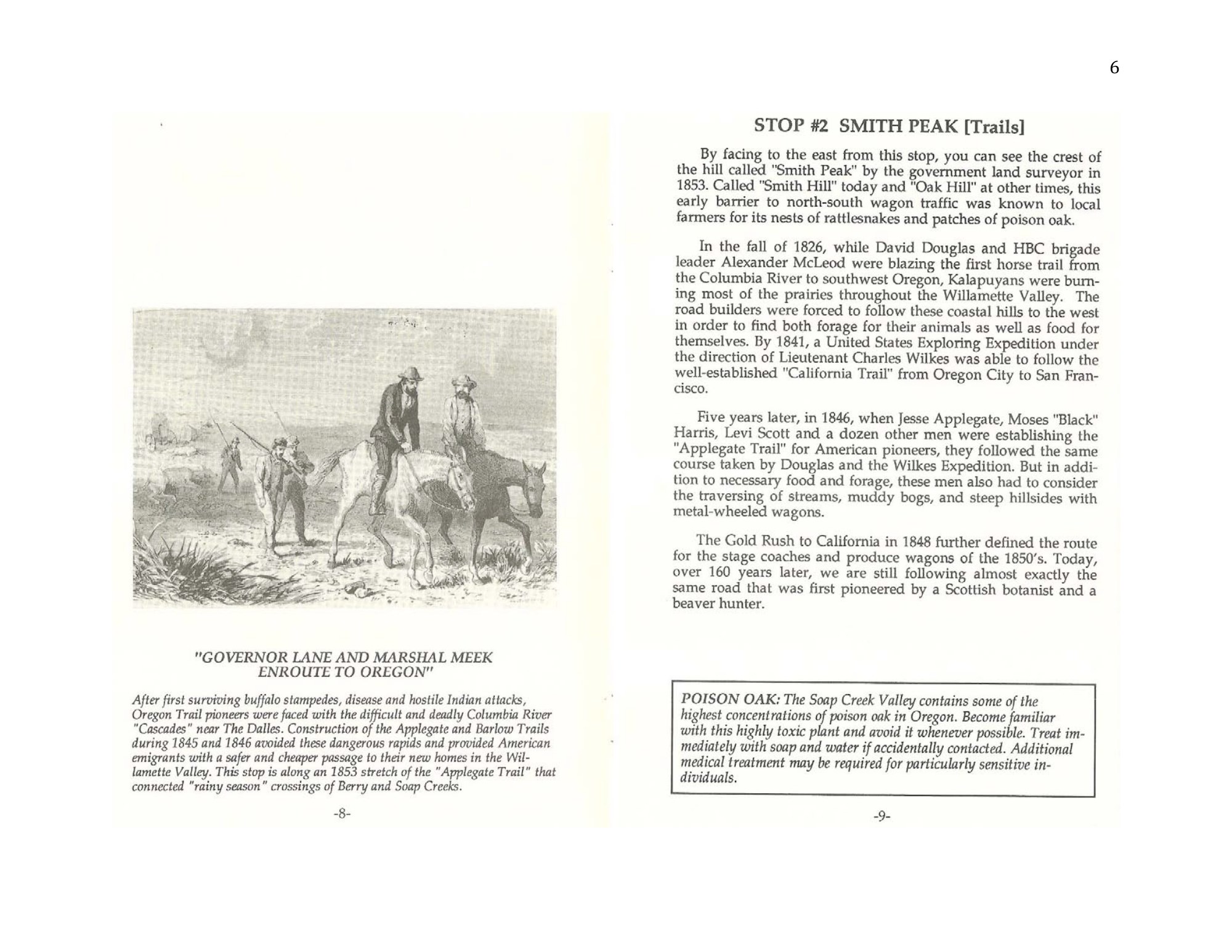
- After first surviving buffalo stampedes, disease and hostile Indian attacks, Oregon Trail pioneers were faced with the difficult and deadly Columbia River "Cascades" near The Dalles. Construction of the Applegate and Barlow Trails during 1845 and 1846 avoided these dangerous rapids and provided American emigrants with a safer and cheaper passage to their new homes in the Willamette Valley. This stop is along an 1853 stretch of the "Applegate Trail" that connected "rainy season" crossings of Berry and Soap Creeks.
Citation and source history
Collection source history · The complete booklet and its credits
How to cite this item
The first line is the citation as it is printed in the original. Use it when you cite the work itself. Use the second when you cite this page.
- As printed
- Zybach, Bob 1989. Historic Soap Creek Valley Auto Tour. Oregon State University Research Forests and College of Forestry, Corvallis, Oregon: 32 pp.
- This page
- Zybach 1989. America's School Trust Library, The Zybach Collection. https://schooltrusts.org/collections/zybach/soap-creek/auto-tour/stop-2/
More on citing this collection: How to cite the Zybach Collection.
Something wrong on this page? Submit a correction — this page is already selected. See how that works.
